Cumbrian Mountains
Range Of Mountains, Range Of Hills in Cumberland Allerdale
England
Cumbrian Mountains
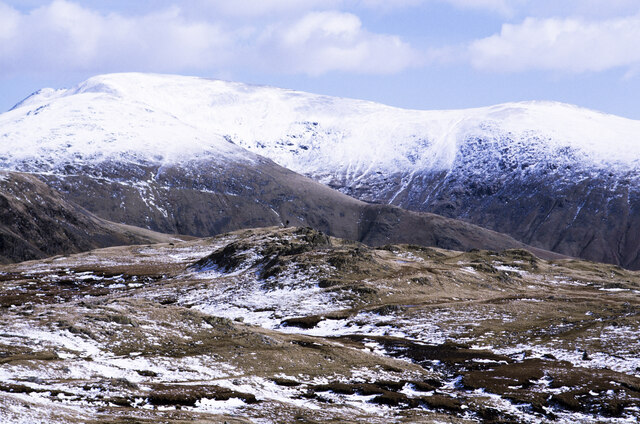
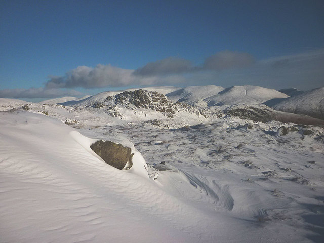
The Cumbrian Mountains, also known as the Cumberland Mountains, are a range of mountains and hills located in the county of Cumbria in northwest England. This range is part of the larger Pennines, a system of mountains and hills that runs through central and northern England.
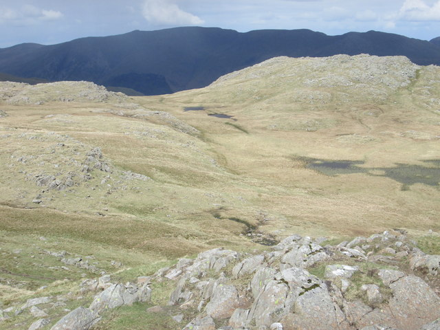
The Cumbrian Mountains cover a vast area, stretching from the Scottish border in the north to the Yorkshire Dales in the south. They are composed primarily of volcanic and sedimentary rocks, with the highest peaks reaching over 3,000 feet in elevation. The most notable peaks in the range include Skiddaw, Helvellyn, Scafell Pike, and Great Gable.
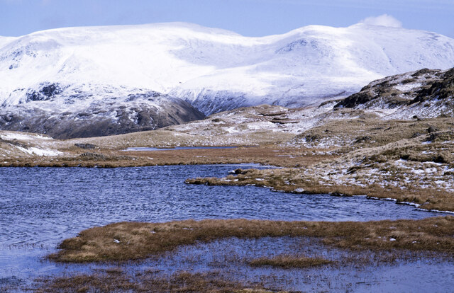
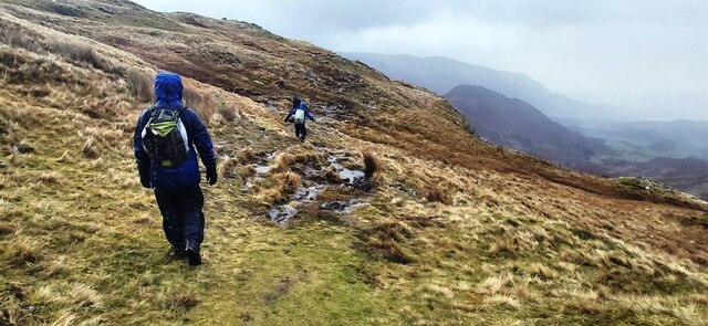
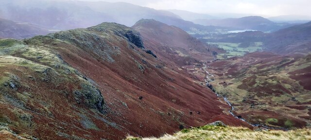
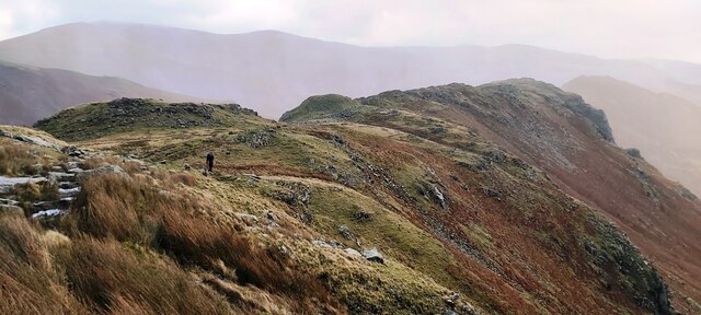
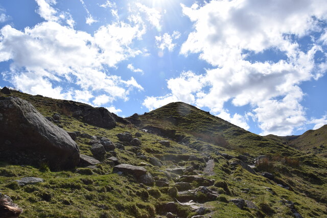
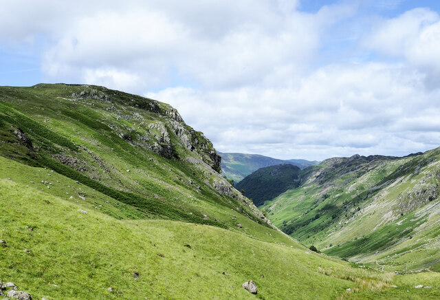
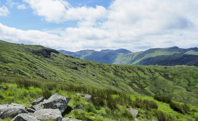
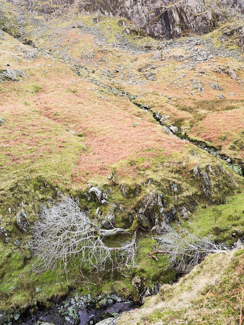
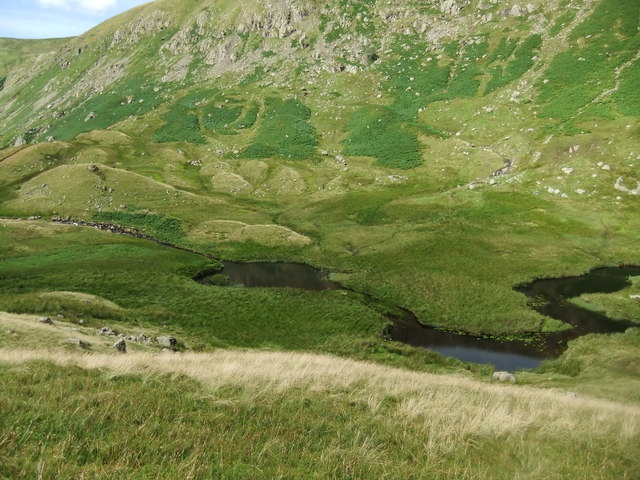
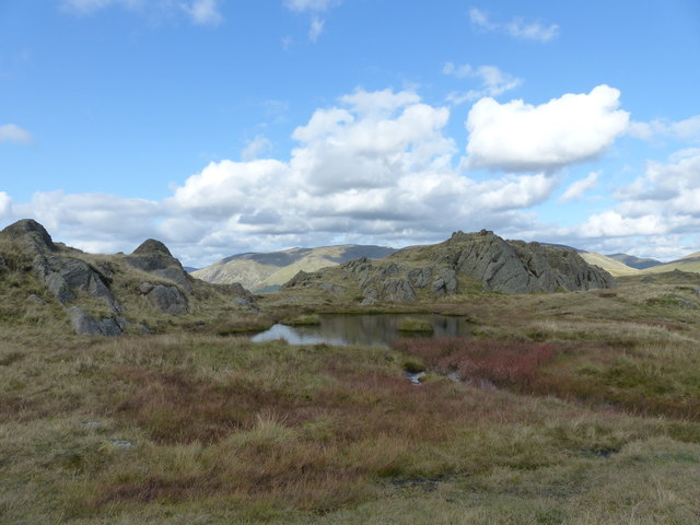
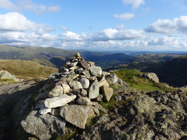
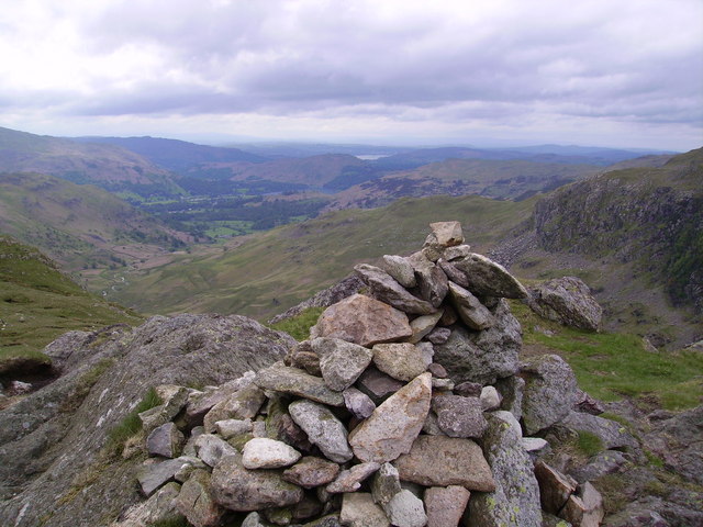
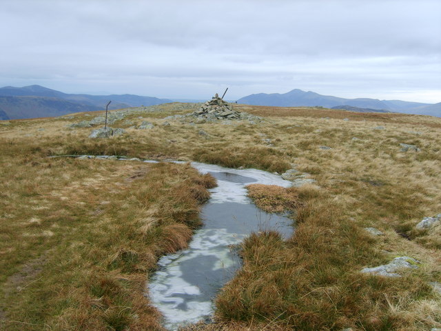
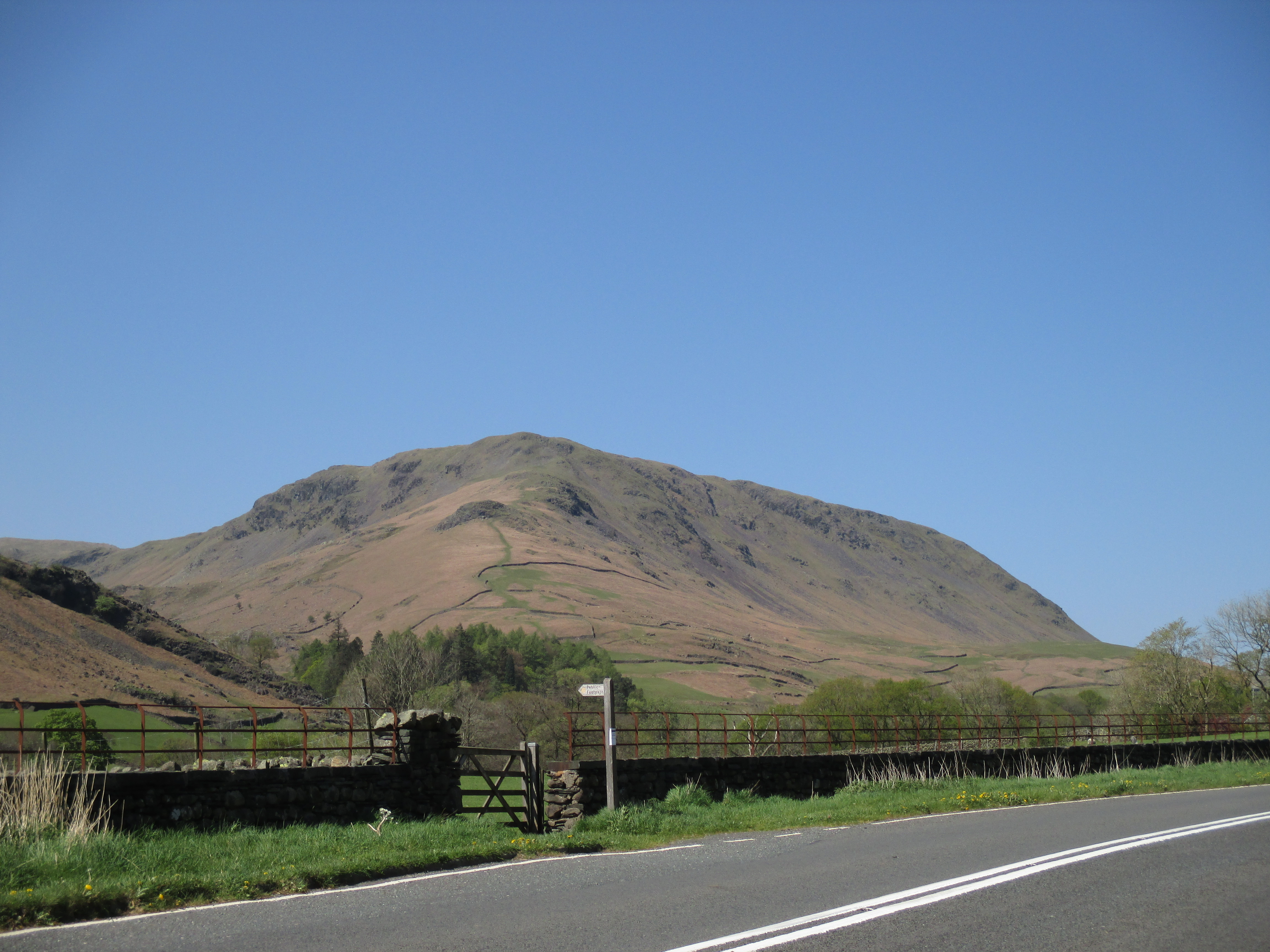
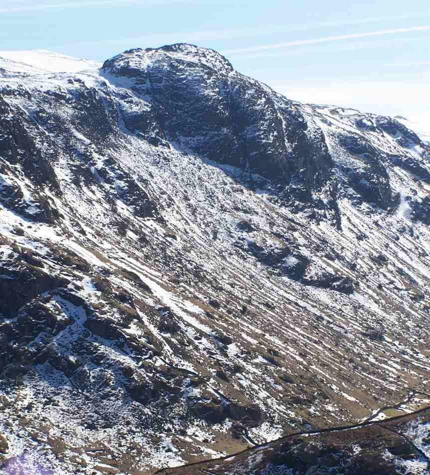
These mountains are renowned for their stunning natural beauty and are a popular destination for outdoor enthusiasts. The rugged terrain provides ample opportunities for hiking, climbing, and mountaineering. The Lake District National Park, which is primarily located within the Cumbrian Mountains, attracts millions of visitors each year who come to experience the picturesque lakes, waterfalls, and panoramic views.
The Cumbrian Mountains also have a rich cultural heritage. They have been inhabited for thousands of years, with evidence of human settlements dating back to prehistoric times. The area is dotted with charming villages, ancient stone circles, and historic sites such as castles and abbeys.
In addition to their natural and cultural significance, the Cumbrian Mountains are also of ecological importance. They are home to a variety of plant and animal species, including rare and endangered ones. The region has been designated as a Special Area of Conservation to protect its unique biodiversity.
Overall, the Cumbrian Mountains offer a diverse range of experiences, combining breathtaking landscapes, outdoor activities, and a rich history, making them a cherished destination for both locals and tourists alike.
If you have any feedback on the listing, please let us know in the comments section below.
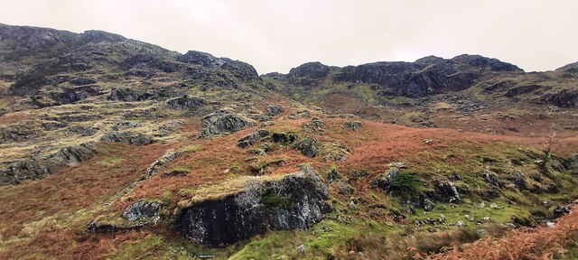
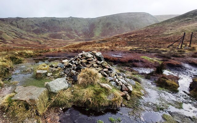
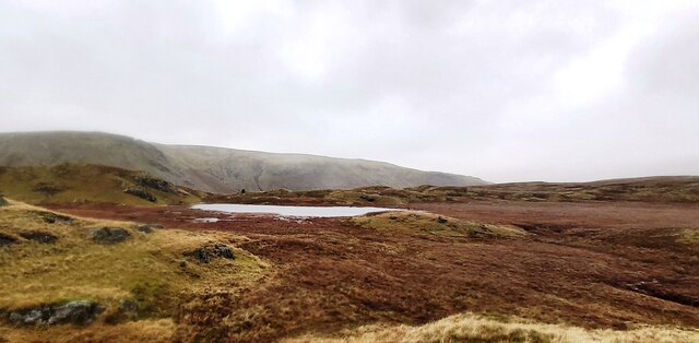
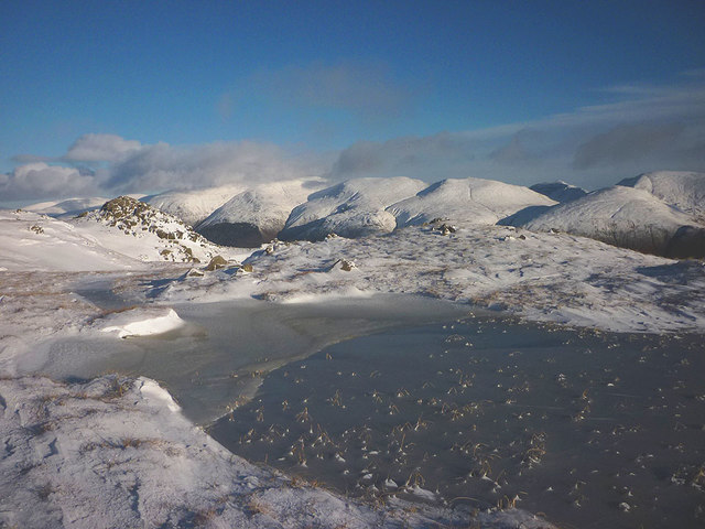
Cumbrian Mountains Images
Images are sourced within 2km of 54.489543/-3.0868669 or Grid Reference NY2911. Thanks to Geograph Open Source API. All images are credited.
Cumbrian Mountains is located at Grid Ref: NY2911 (Lat: 54.489543, Lng: -3.0868669)
Administrative County: Cumbria
District: Allerdale
Police Authority: Cumbria
What 3 Words
///suave.scans.pocket. Near Ambleside, Cumbria
Nearby Locations
Related Wikis
Calf Crag
Calf Crag is a fell in the English Lake District, on the eastern side of the High Raise massif. == Topography == The spine of the Central Fells runs on...
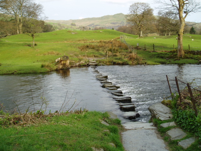
River Rothay
The Rothay is a spate river of the Lake District in north-west England. Its name comes from Old Norse and translates literally as the red one. This has...
Ullscarf
Ullscarf is a fell in the English Lake District close to the geographical centre of the Cumbrian hills. It forms part of the watershed between the Derwentwater...

Tarn Crag (Easedale)
Tarn Crag is a fell in the Central Fells of the English Lake District. Strictly the name refers only to the rock face looking down upon Easedale Tarn,...
Steel Fell
Steel Fell is a fell in the English Lake District, lying between Thirlmere and Grasmere. It is triangular in plan, the ridges running north, west and south...

High Raise (Langdale)
High Raise is a fell in the Central Fells of the English Lake District, not to be confused with another High Raise situated in the Far Eastern Fells. High...
Sergeant's Crag
Sergeant's Crag is a fell in the English Lake District. It is an intermediate height on the ridge between the Langstrath and Greenup valleys in the Central...

Sergeant Man
Sergeant Man is a fell in the English Lake District. It is properly a secondary summit of High Raise, but is given a separate chapter by Alfred Wainwright...
Related Videos
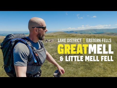
What a SURPRISE this place was / Great Mell Fell / S1-Ep1 Hiking the Wainwrights
Hiking the Wainwrights - Season 1: Eastern Fells - Episode 1. Great Mell Fell, The Lake District Welcome to this new series of ...

Striding Edge POV ridge walk / S1-Ep5 Hiking the Wainwrights
Hiking the Wainwrights - Season 1: Eastern Fells - Episode 5 - Part 2. Striding Edge, The Lake District This second part sees me ...
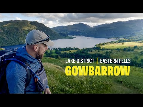
TOP views from this tiny hill / Gowbarrow / S1-Ep2 Hiking the Wainwrights
Hiking the Wainwrights - Season 1: Eastern Fells - Episode 2. Gowbarrow, The Lake District Welcome back to the second walk in ...
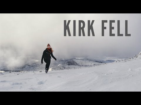
Hiking Kirk Fell in the Snow | The Lake District
A snowy hike of Kirk Fell in the Lake District. I started out wanting to do a route of Wasdale Head, Kirk Fell and Great Gable but ...
Nearby Amenities
Located within 500m of 54.489543,-3.0868669Have you been to Cumbrian Mountains?
Leave your review of Cumbrian Mountains below (or comments, questions and feedback).