West Border Hills

Range Of Mountains, Range Of Hills in Peeblesshire

Scotland

West Border Hills

The track to Gameshope The track runs alongside the Games Hope Burn.
The track to Gameshope Credit: Gordon Brown

The requested URL returned error: 429 Too Many Requests

If you have any feedback on the listing, please let us know in the comments section below.

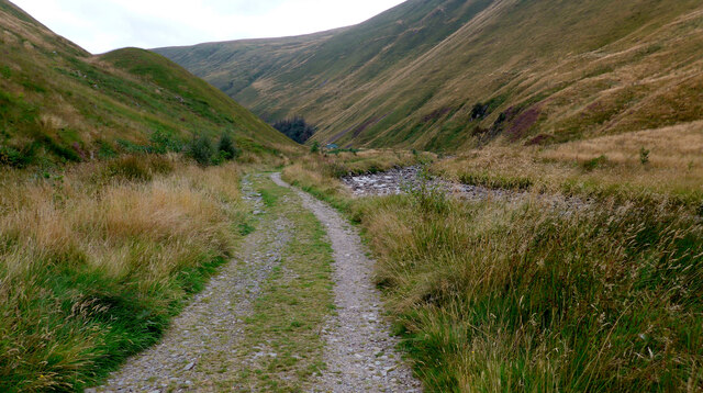
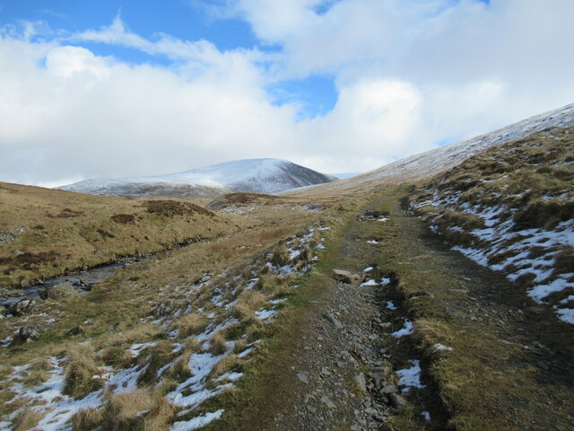
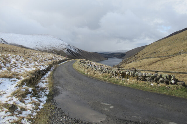
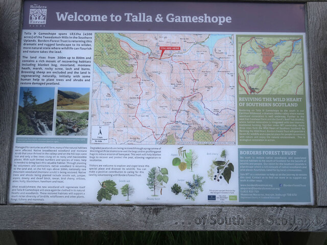
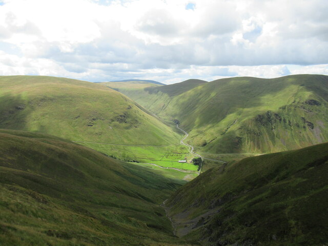
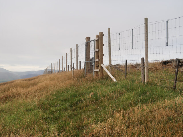
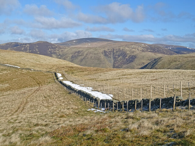
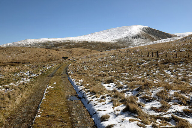
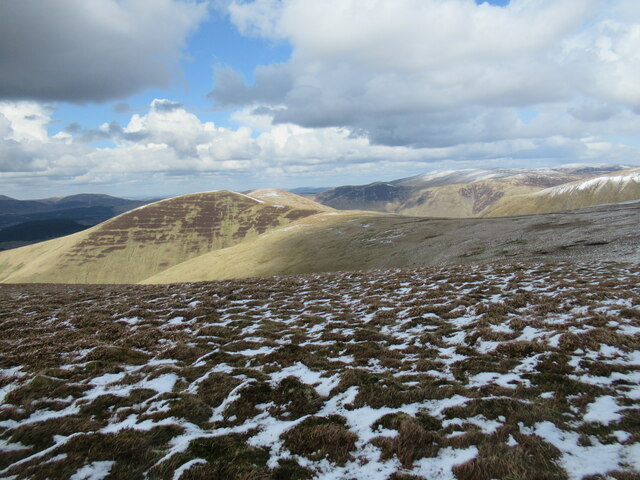
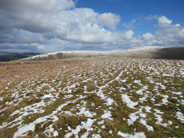
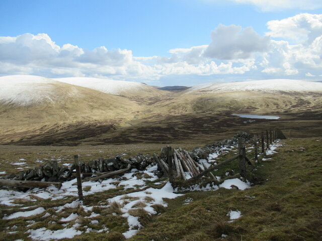
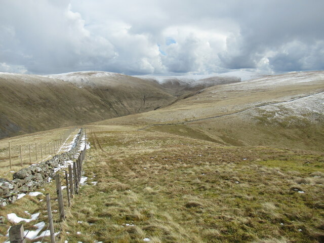
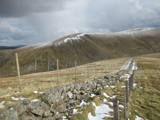
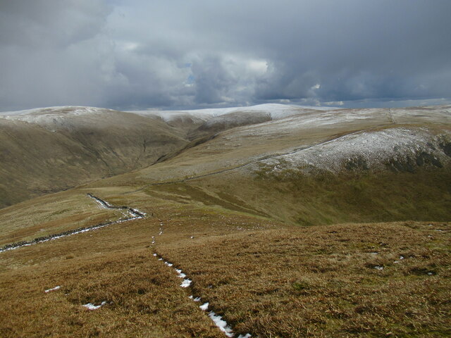
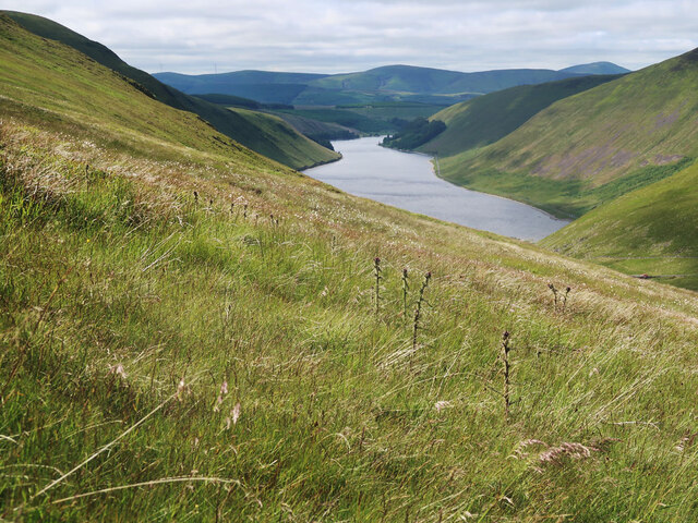
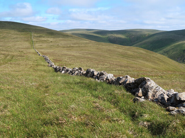
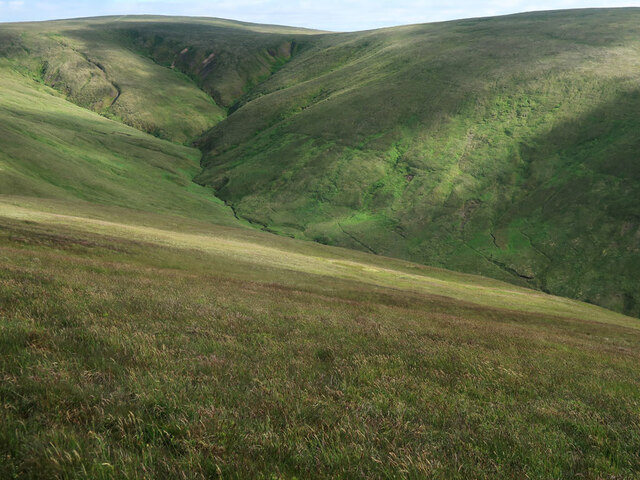
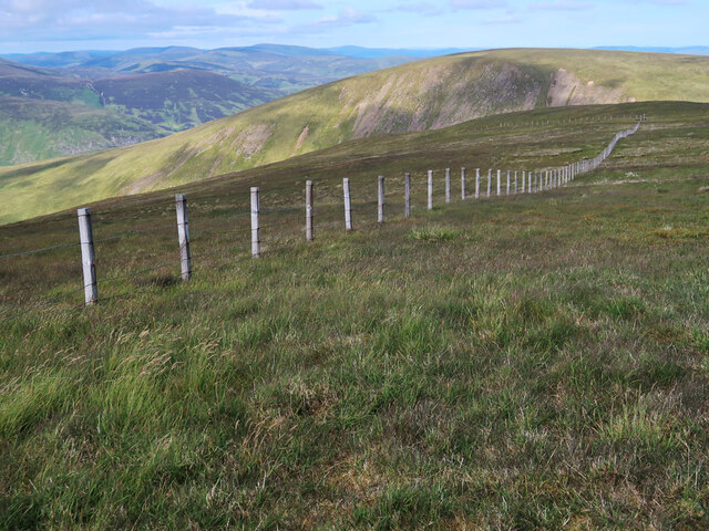
West Border Hills Images

Images are sourced within 2km of 55.454101/-3.3655923 or Grid Reference NT1318. Thanks to Geograph Open Source API. All images are credited.

The track to Gameshope The track runs alongside the Games Hope Burn.
The track to Gameshope
The track runs alongside the Games Hope Burn.
Track by the Talla Water The rounded hillside of Nickies Knowe is visible in the distance. 

A cold spell has replaced the previous week's warm spring weather and some snow has returned to the hillsides.
Track by the Talla Water
The rounded hillside of Nickies Knowe is visible in the distance. A cold spell has replaced the previous week's warm spring weather and some snow has returned to the hillsides.
Road above Talla Linfoots The road climbs steeply up from the Talla Reservoir, visible in the distance.

A cold spell has replaced the previous week's warm spring weather and some snow has returned to the hillsides.
Road above Talla Linfoots
The road climbs steeply up from the Talla Reservoir, visible in the distance. A cold spell has replaced the previous week's warm spring weather and some snow has returned to the hillsides.
Border Forest Trust information board at Talla Water
Talla Linfoots viewed down the gully of the Codleteth Burn The Games Hope valley leads off into the hills beyond the farm buildings at Talla Linfoots.
Talla Linfoots viewed down the gully of the Codleteth Burn
The Games Hope valley leads off into the hills beyond the farm buildings at Talla Linfoots.
Deer fence and gate near Garelet Hill trig point On the boundary of the Borders Forest Trust land
Deer fence and gate near Garelet Hill trig point
On the boundary of the Borders Forest Trust land
View to Broad Law On the coll between Garelet Dod and Erie Hill there is this fine view of Broad Law the second highest hill in the Southern Uplands. There is a relatively new deer fence on the east side of the original wall so now there are 3 boundaries which seems a bit over the top.
View to Broad Law
On the coll between Garelet Dod and Erie Hill there is this fine view of Broad Law the second highest hill in the Southern Uplands. There is a relatively new deer fence on the east side of the original wall so now there are 3 boundaries which seems a bit over the top.
An access track by the Talla Water Nickies Knowe is in the background to the right.
An access track by the Talla Water
Nickies Knowe is in the background to the right.
Looking towards Erie Hill and Common Law A view from near the summit of Garelet Dod.
Looking towards Erie Hill and Common Law
A view from near the summit of Garelet Dod.
Summit plateau on Garelet Dod Carlavin Hill and Molls Cleuch Dod are visible in the distance. As often seems to happen in April, a warm spell has given way to the return of cold northerly winds and wintry showers.
Summit plateau on Garelet Dod
Carlavin Hill and Molls Cleuch Dod are visible in the distance. As often seems to happen in April, a warm spell has given way to the return of cold northerly winds and wintry showers.
Looking into the upper Games Hope Gameshope Loch is visible in the distance, with snow-covered hillsides above 600m. or so, during a spell of  cold spring weather with northerly winds and wintry showers.
Looking into the upper Games Hope
Gameshope Loch is visible in the distance, with snow-covered hillsides above 600m. or so, during a spell of cold spring weather with northerly winds and wintry showers.
Triple fence line on Erie Hill The old drystane dyke has been joined by a stob and wire fence and now a high deer fence, which seems a bit of overkill.
Triple fence line on Erie Hill
The old drystane dyke has been joined by a stob and wire fence and now a high deer fence, which seems a bit of overkill.
New deer fencing on Erie Hill The old drystane dyke has been joined by a stob and wire fence and now a high deer fence, which seems a bit of overkill. The metal plates on the deer fence are designed to make it more visible to birds in flight.

The flanks of Carlavin Hill and Molls Cleuch Dod form the backdrop.
New deer fencing on Erie Hill
The old drystane dyke has been joined by a stob and wire fence and now a high deer fence, which seems a bit of overkill. The metal plates on the deer fence are designed to make it more visible to birds in flight. The flanks of Carlavin Hill and Molls Cleuch Dod form the backdrop.
Narrow path on Erie Hill A path picked out in snow on Erie Hill, with the snow-topped higher hills between Moffat Dale and Tweedsmuir visible in the distance.
Narrow path on Erie Hill
A path picked out in snow on Erie Hill, with the snow-topped higher hills between Moffat Dale and Tweedsmuir visible in the distance.
Northern slope of Carlavin Hill A steep 250m ascent to the summit plateau. Looking towards Talla Reservoir.
Northern slope of Carlavin Hill
A steep 250m ascent to the summit plateau. Looking towards Talla Reservoir.
Drystane dyke from Carlavin Hill to Molls Cleuch Dod An old dyke across the high moorland.
Drystane dyke from Carlavin Hill to Molls Cleuch Dod
An old dyke across the high moorland.
Donald's Cleuch Looking down from the slopes of Molls Cleuch Dod.
Donald's Cleuch
Looking down from the slopes of Molls Cleuch Dod.
Fence on Molls Cleuch Dod Between the summit and Talla Craigs. Looking towards Nickies Knowe.
Fence on Molls Cleuch Dod
Between the summit and Talla Craigs. Looking towards Nickies Knowe.
Show me another place!

West Border Hills is located at Grid Ref: NT1318 (Lat: 55.454101, Lng: -3.3655923)

Unitary Authority: The Scottish Borders

Police Authority: The Lothians and Scottish Borders

What 3 Words

///obviously.stencil.kiosk. Near Ettrick, Scottish Borders

Related Wikis

Talla Water

Talla Water is a river in the Scottish Borders area of Scotland, near Tweedsmuir. It feeds the Talla Reservoir, and is a tributary of the River Tweed....

Moffat Hills

The Moffat Hills are a range of hills in the Southern Uplands of Scotland. They form a roughly triangular shape with a west facing side, a north facing...

Loch Skeen

Loch Skeen or Loch Skene is a loch in Dumfries and Galloway in the south of Scotland. It is located about 10 miles to the north-east of Moffat and feeds...

Talla Reservoir

Talla Reservoir, located a mile from Tweedsmuir, Scottish Borders, Scotland, is an earth-work dam fed by Talla Water. The reservoir is supplemented by...

Nearby Amenities

Located within 500m of 55.454101,-3.3655923
Carlavin Hill
Ele: 726
Ele Ft: 2384
Munro: no
Natural: peak
Lat/Long: 55.4569139/-3.3614766
The data included in this document is from www.openstreetmap.org. The data is made available under ODbL.

Have you been to West Border Hills?

Leave your review of West Border Hills below (or comments, questions and feedback).