The Black Mountain
Range Of Mountains, Range Of Hills in Carmarthenshire
Wales
The Black Mountain

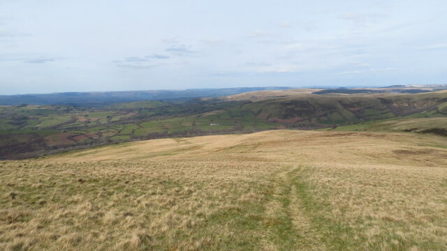
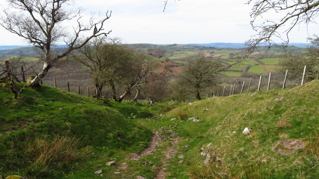
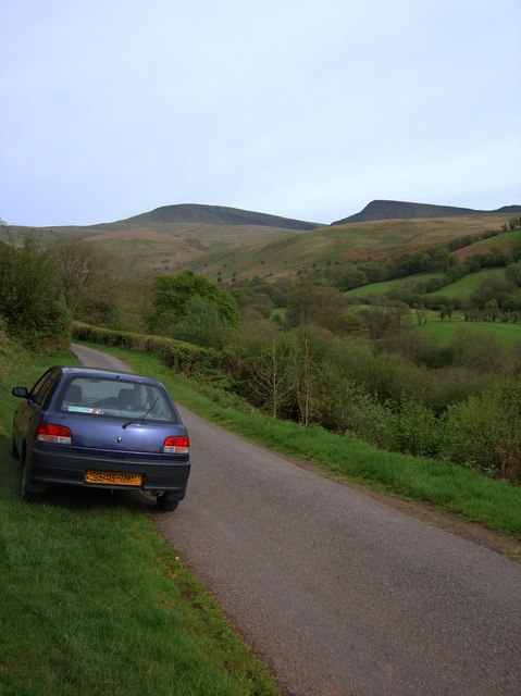
The Black Mountain, located in Carmarthenshire, Wales, is a range of mountains and hills that stretches across an area of approximately 30 square miles. Also known as Mynydd Du in Welsh, it forms a part of the Brecon Beacons National Park, offering stunning views and diverse landscapes for outdoor enthusiasts.
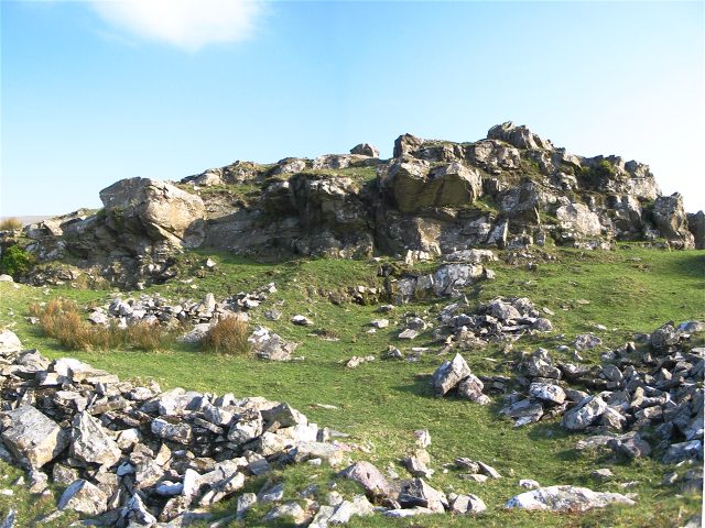
The Black Mountain range is characterized by its rugged and wild beauty, with its highest peak, Fan Brycheiniog, reaching an elevation of 802 meters (2,631 feet). The range is composed mainly of Old Red Sandstone, giving the mountains a distinctive reddish appearance.
The area is renowned for its rich biodiversity and is home to a variety of wildlife and plant species. The heather-clad slopes provide a habitat for many rare and protected species, including red grouse, peregrine falcons, and merlins.
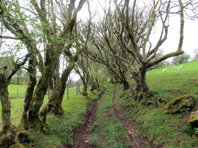
The Black Mountain is a popular destination for hikers and walkers, offering a network of trails and paths that cater to different skill levels. The Black Mountain Circuit, a 20-mile route, allows visitors to experience the diverse landscapes and stunning views of the range. There are also opportunities for rock climbing and mountain biking, adding to the range of outdoor activities available.
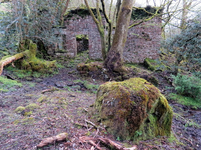
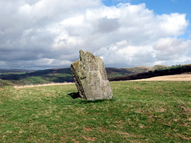
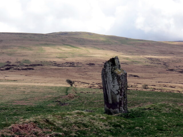
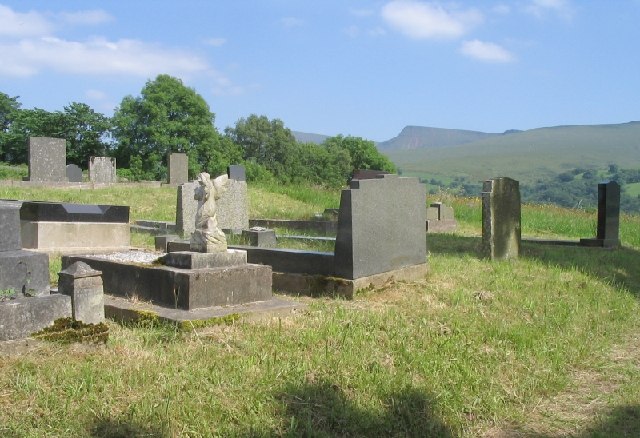
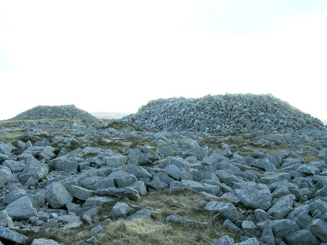
In addition to its natural beauty, the Black Mountain has a rich cultural and historical significance. It is dotted with ancient burial cairns, stone circles, and remnants of iron age settlements, providing a glimpse into the area's past.
Overall, the Black Mountain in Carmarthenshire offers a unique and captivating experience for nature lovers, adventure seekers, and those interested in exploring the history and heritage of the region.
If you have any feedback on the listing, please let us know in the comments section below.
The Black Mountain Images
Images are sourced within 2km of 51.893495/-3.7863818 or Grid Reference SN7723. Thanks to Geograph Open Source API. All images are credited.


The Black Mountain is located at Grid Ref: SN7723 (Lat: 51.893495, Lng: -3.7863818)
Unitary Authority: Carmarthenshire
Police Authority: Dyfed Powys
What 3 Words
///pasting.motorist.sung. Near Llanddeusant, Carmarthenshire
Nearby Locations
Related Wikis

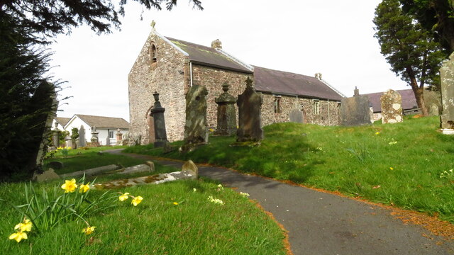
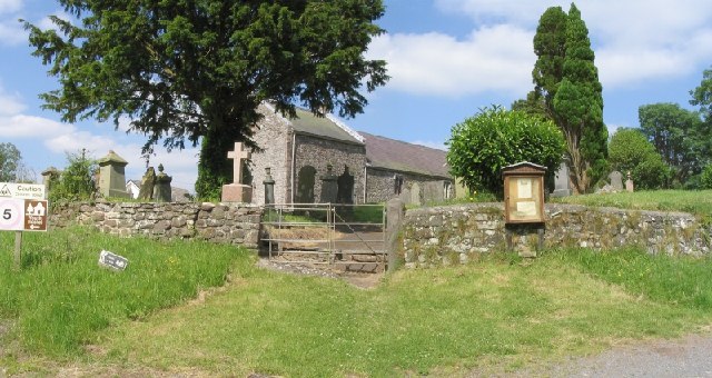
Llanddeusant, Carmarthenshire
Llanddeusant () is a community in the Black Mountain Range of the Brecon Beacons National Park in Carmarthenshire, Wales. It is about 5 miles southeast...
Cae Maes-y-ffynnon
Cae Maes-y-ffynnon is a wet unimproved pasture that is a Site of Special Scientific Interest in Carmarthen & Dinefwr, Wales. == See also == List of Sites...
Garreg Las
Garreg Las is a subsidiary summit of Fan Brycheiniog in the Brecon Beacons National Park (Welsh: Parc Cenedlaethol Bannau Brycheiniog) in Carmarthenshire...

Waun Lefrith
Waun Lefrith is a top of Picws Du and is also the westernmost of the Carmarthen Fans (Welsh: Bannau Sir Gaer), a group of peaks within the Black Mountain...
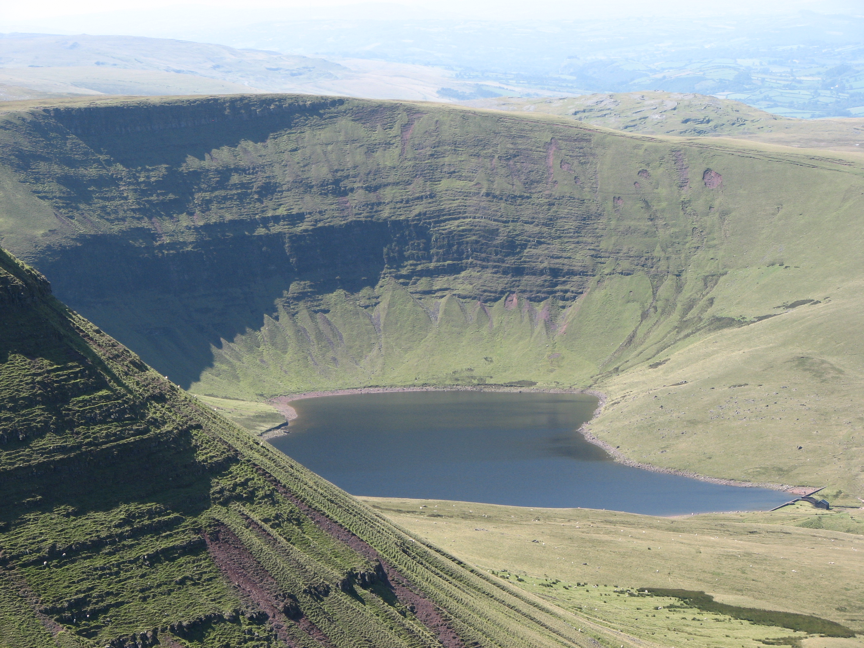
Llyn y Fan Fach
Llyn y Fan Fach (Welsh meaning "little lake (near) the peak") is a lake of approximately 10 hectares (25 acres) on the northern margin of the Black Mountain...

A4069 road
The A4069 is an A road which connects Llandovery with Gwaun-Cae-Gurwen in Wales, UK. == Route == The route begins at the junction with the A474 at the...

Picws Du
Picws Du is the second highest peak of the Carmarthen Fans (or, in Welsh Bannau Sir Gâr) in the Carmarthenshire section of the Black Mountain in the west...
Gwynfe
Gwynfe () or Capel Gwynfe is a small village inside the portion of Brecon Beacons National Park that is in Carmarthenshire, a county of southwestern Wales...
Nearby Amenities
Located within 500m of 51.893495,-3.7863818Have you been to The Black Mountain?
Leave your review of The Black Mountain below (or comments, questions and feedback).