Fereneze Hills

Range Of Mountains, Range Of Hills in Renfrewshire

Scotland

Fereneze Hills

Highland Cows, Brownside Braes Fenced off Glenburn Reservoir on the left.
Highland Cows, Brownside Braes Credit: wfmillar

The requested URL returned error: 429 Too Many Requests

If you have any feedback on the listing, please let us know in the comments section below.

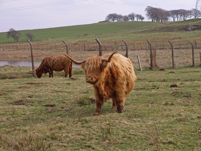
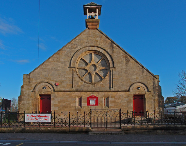
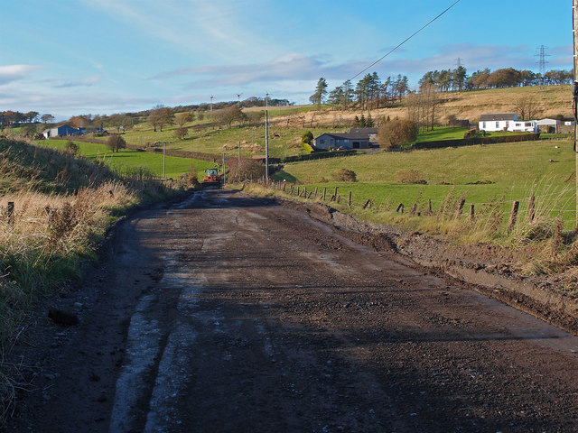
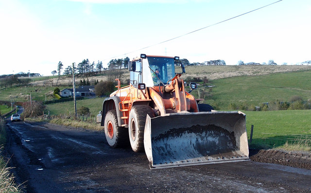
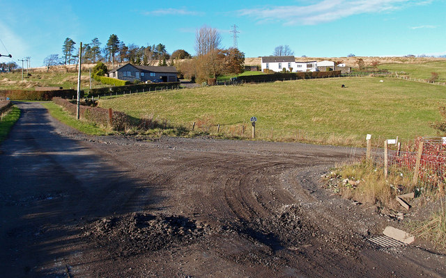
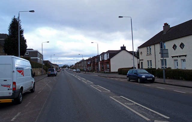
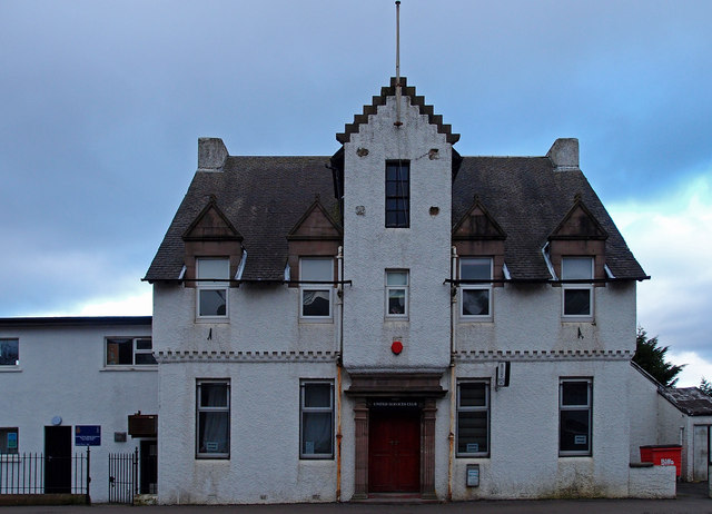
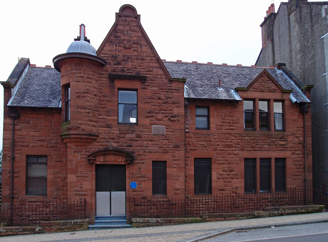
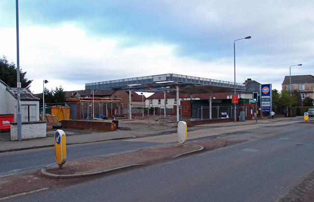
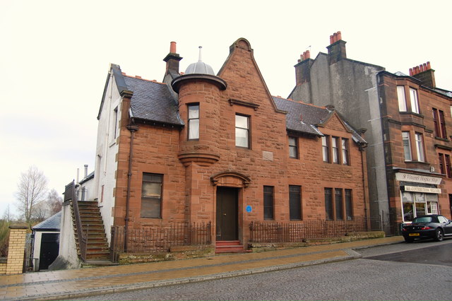
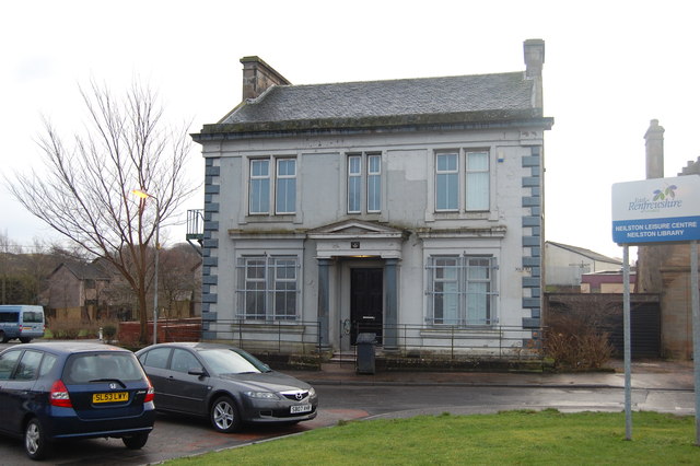
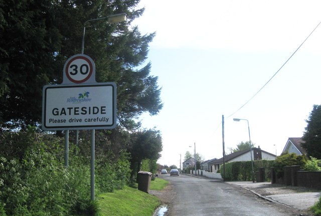
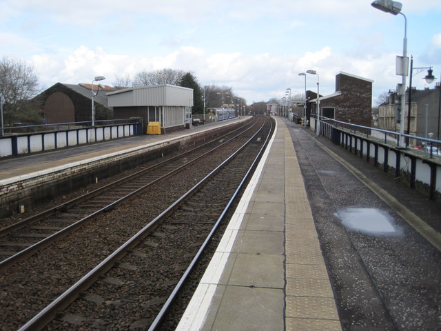
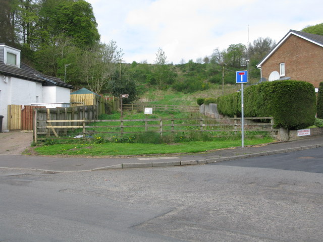
Fereneze Hills Images

Images are sourced within 2km of 55.802057/-4.4272743 or Grid Reference NS4759. Thanks to Geograph Open Source API. All images are credited.

Highland Cows, Brownside Braes Fenced off Glenburn Reservoir on the left.
Highland Cows, Brownside Braes
Fenced off Glenburn Reservoir on the left.
Neilston Parish Church Halls On Kingston Road, Neilston.
Neilston Parish Church Halls
On Kingston Road, Neilston.
Track to Capellie Farm Track is in the process of being scraped level by a very large machine. This track leads to a large tip and is constantly churned up by heavy traffic.
Track to Capellie Farm
Track is in the process of being scraped level by a very large machine. This track leads to a large tip and is constantly churned up by heavy traffic.
Track to Capellie Farm Due to constant heavy traffic using the nearby tip this track needs regular scraping.
Track to Capellie Farm
Due to constant heavy traffic using the nearby tip this track needs regular scraping.
Track to Capellie Farm and cottages Capellie Lodge (left) and Capellie Cottage (right). The track branches to the right leading to a tip.
Track to Capellie Farm and cottages
Capellie Lodge (left) and Capellie Cottage (right). The track branches to the right leading to a tip.
B771, Paisley Road Dunterlie area of Barrhead.
B771, Paisley Road
Dunterlie area of Barrhead.
United Services Club Building Paisley Road, Dunterlie
United Services Club Building
Paisley Road, Dunterlie
Masonic Lodge, Barrhead Sits on Cochrane Street. Upper floor looks to be residential.
Masonic Lodge, Barrhead
Sits on Cochrane Street. Upper floor looks to be residential.
Disused Petrol Station B771, Paisley Road, Dunterlie area of Barrhead.
Disused Petrol Station
B771, Paisley Road, Dunterlie area of Barrhead.
Masonic Lodge, Barrhead. Lodge Union & Crown No.307 & Lodge Randolph No.1434, Barrhead.
Masonic Lodge, Barrhead.
Lodge Union & Crown No.307 & Lodge Randolph No.1434, Barrhead.
Masonic Lodge, Neilston, Glasgow Lodge Thistle & Crown No.1167, Neilston, Glasgow
Masonic Lodge, Neilston, Glasgow
Lodge Thistle & Crown No.1167, Neilston, Glasgow
Disused cotton mill, Neilston
Killoch Bridge
Killoch Bridge
The Clyde Leather Co
Countryside views
Countryside views
Entrance to Gateside
Barrhead railway station, Renfrewshire Opened in 1848 by the Glasgow Barrhead & Neilston Direct Railway, on the line which runs from Glasgow to Kilmarnock.
View north east towards Nitshill and Glasgow. For a similar view 44 years previously, see <a href="https://www.geograph.org.uk/photo/1764550">NS4959 : Barrhead Station</a>.
Barrhead railway station, Renfrewshire
Opened in 1848 by the Glasgow Barrhead & Neilston Direct Railway, on the line which runs from Glasgow to Kilmarnock. View north east towards Nitshill and Glasgow. For a similar view 44 years previously, see NS4959 : Barrhead Station.
Start of the route to the Fereneze Braes in Barrhead This rather inauspicious spot between 2 houses is the start of an excellent walk over the Fereneze Braes. It is worth noting that though there are clearly defined paths on the Fereneze Braes, they rarely correspond to paths marked on the OS map. However the routes are so well signposted that a map is really not required. At the start you have to squeeze through a small gap in parallel fences. There are a few more like this on the walk. This is clearly designed to make it very difficult to take even a bike - a good idea.
Start of the route to the Fereneze Braes in Barrhead
This rather inauspicious spot between 2 houses is the start of an excellent walk over the Fereneze Braes. It is worth noting that though there are clearly defined paths on the Fereneze Braes, they rarely correspond to paths marked on the OS map. However the routes are so well signposted that a map is really not required. At the start you have to squeeze through a small gap in parallel fences. There are a few more like this on the walk. This is clearly designed to make it very difficult to take even a bike - a good idea.
Show me another place!

Fereneze Hills is located at Grid Ref: NS4759 (Lat: 55.802057, Lng: -4.4272743)

Unitary Authority: East Renfrewshire

Police Authority: Greater Glasgow

What 3 Words

///decide.brave.safely. Near Neilston, East Renfrewshire

Nearby Locations

Fereneze Hills

Related Wikis

Barrhead South railway station

Barrhead South was once one of four railway stations in Barrhead, Renfrewshire (now East Renfrewshire), Scotland. A new station, Balgray railway station...

Barrhead railway station

Barrhead railway station is a railway station in the town of Barrhead, East Renfrewshire, Greater Glasgow, Scotland. The station is managed by ScotRail...

Barrhead Central railway station

Barrhead Central railway station was a railway station serving the town of Barrhead, Renfrewshire, Scotland. The station was on the Glasgow and South...

Neilston Low railway station

Neilston Low railway station was a railway station serving the town of Neilston, East Renfrewshire, Scotland. The station was originally part of the Glasgow...

Nearby Amenities

Located within 500m of 55.802057,-4.4272743
Power: tower
Lat/Long: 55.8046532/-4.4336926
Man Made: cairn
Lat/Long: 55.8040733/-4.4299245
Barrier: kissing_gate
Lat/Long: 55.8021577/-4.4265451
The data included in this document is from www.openstreetmap.org. The data is made available under ODbL.

Have you been to Fereneze Hills?

Leave your review of Fereneze Hills below (or comments, questions and feedback).