Tanat Valley

Valley in Montgomeryshire

Wales

Tanat Valley

Tanat Valley From Craig Rhiwarth
Tanat Valley From Craig Rhiwarth Credit: Chris Andrews

The requested URL returned error: 429 Too Many Requests

If you have any feedback on the listing, please let us know in the comments section below.
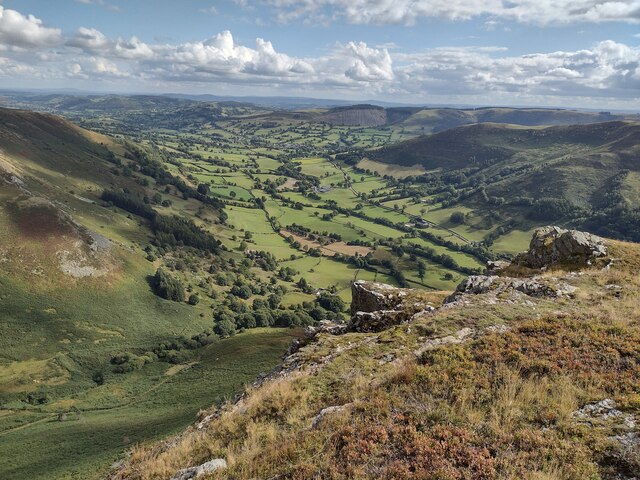
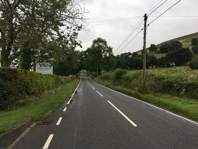
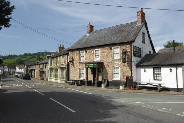
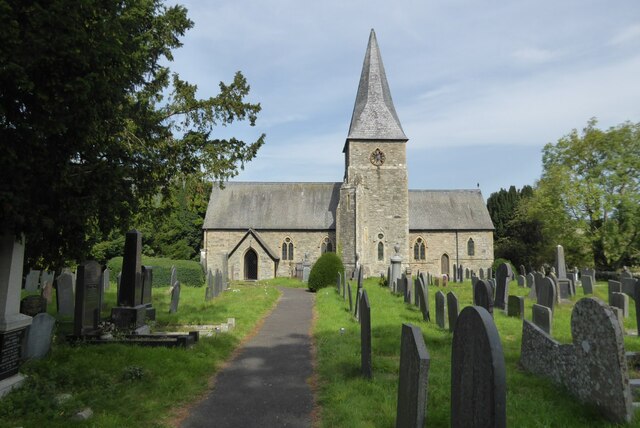
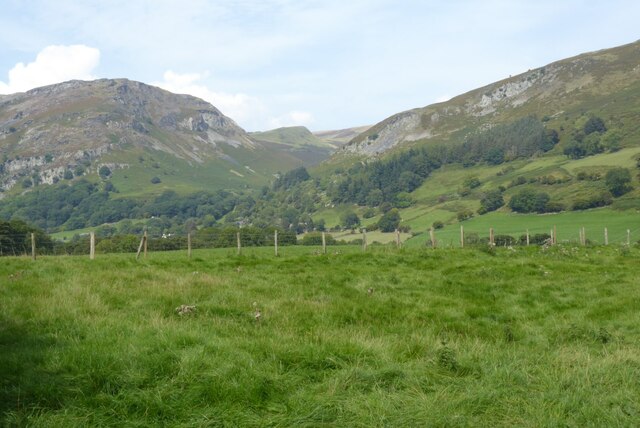
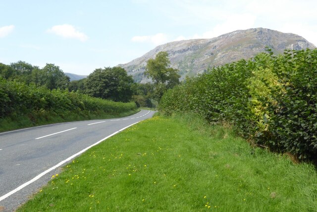
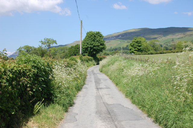
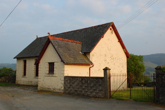
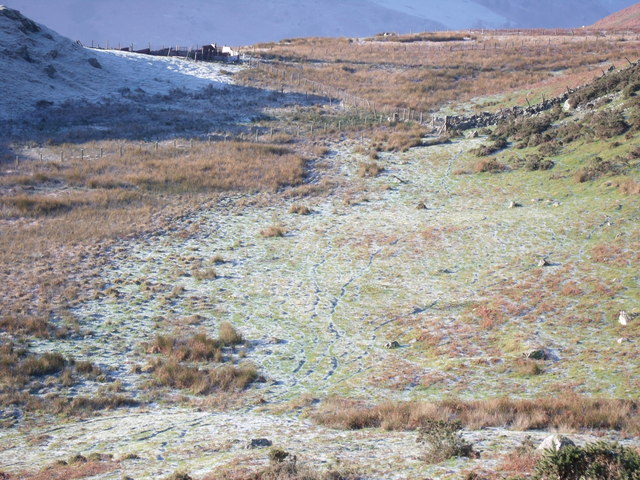
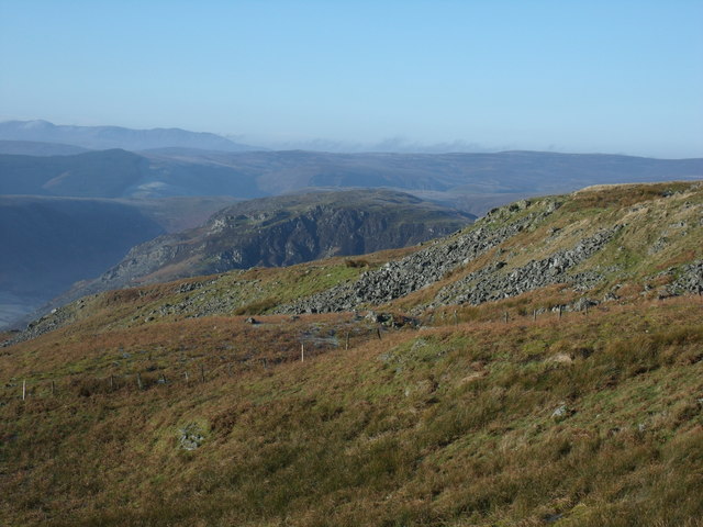
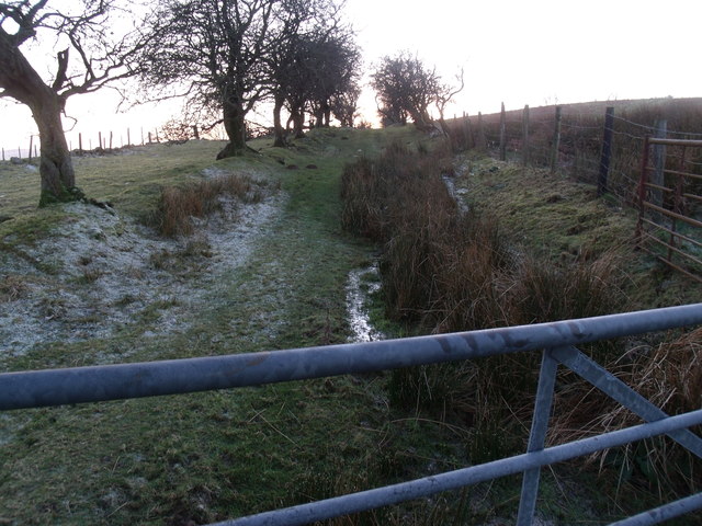
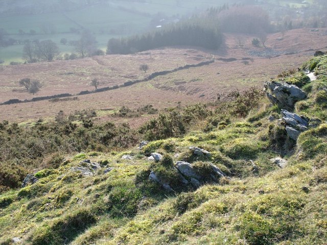
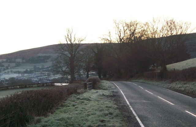
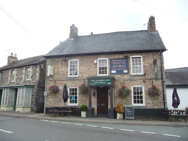
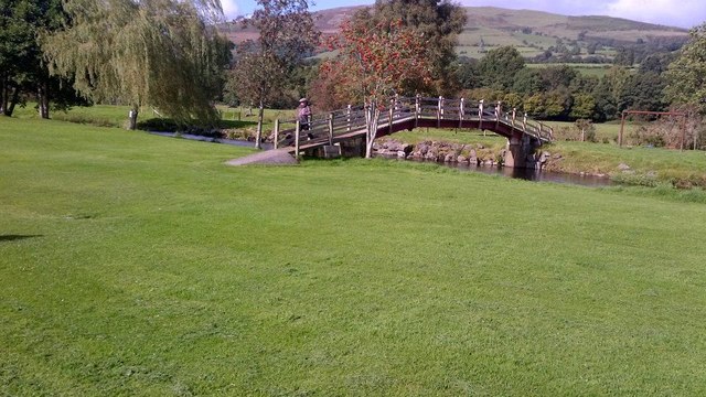
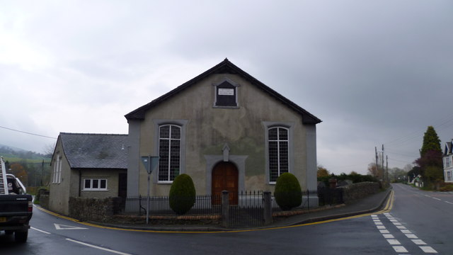
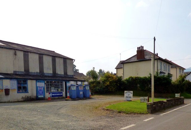
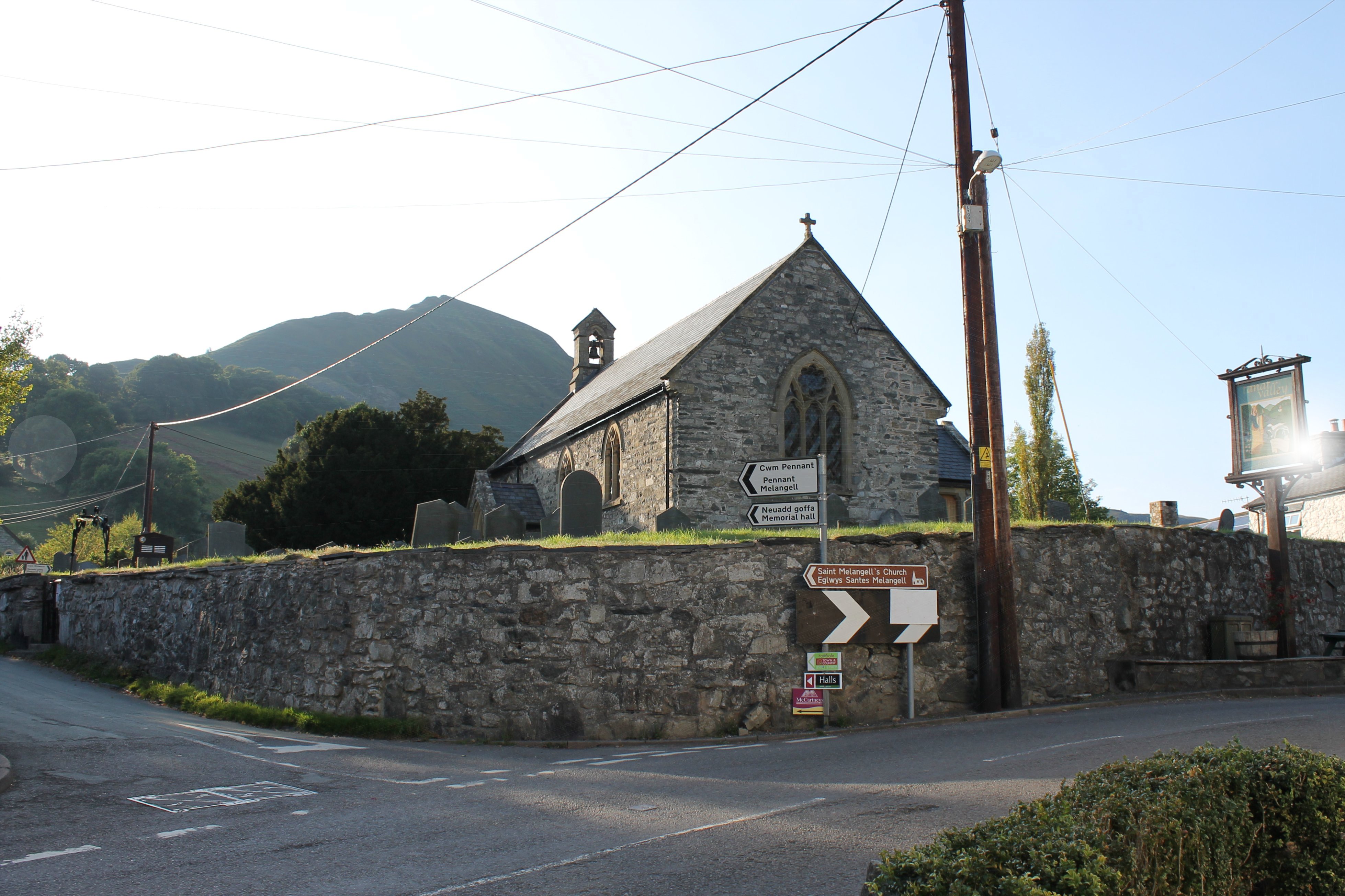
Tanat Valley Images

Images are sourced within 2km of 52.817615/-3.3615658 or Grid Reference SJ0825. Thanks to Geograph Open Source API. All images are credited.

Tanat Valley From Craig Rhiwarth
B4391 in the Tanat Valley
The Railway Inn, Penybontfawr The Railway Inn in the village of Penybontfawr is a reminder that this village was once connected to the railway network.  The railway was relatively short-lived here, the  Tanat Valley Light Railway arrived in 1904 and survived less than 50 years, closing in 1951.
The Railway Inn, Penybontfawr
The Railway Inn in the village of Penybontfawr is a reminder that this village was once connected to the railway network. The railway was relatively short-lived here, the Tanat Valley Light Railway arrived in 1904 and survived less than 50 years, closing in 1951.
Bethania Chapel, Penybontfawr This Bethania Chapel was built in 1867, replacing an early one dating from 1824.
Bethania Chapel, Penybontfawr
This Bethania Chapel was built in 1867, replacing an early one dating from 1824.
St Thomas Church, Penybontfawr Penybontfawr church is dedicated to St Thomas and it was designed by R.K. Penson in 1855.
St Thomas Church, Penybontfawr
Penybontfawr church is dedicated to St Thomas and it was designed by R.K. Penson in 1855.
View of the Berwyn Mountains View of the Berwyn Mountains near Penybontfawr
View of the Berwyn Mountains
View of the Berwyn Mountains near Penybontfawr
The B4391 near Penybontfawr The B4391 near Penybontfawr approaching the Berwyn Mountains.
The B4391 near Penybontfawr
The B4391 near Penybontfawr approaching the Berwyn Mountains.
Lane at Ty-isaf Taken from close by Bellevue - the house at the road junction which provides B&B and a self-catering cottage.
Lane at Ty-isaf
Taken from close by Bellevue - the house at the road junction which provides B&B and a self-catering cottage.
Elim Chapel, Cefn-coch A Calvinist chapel built in 1839.
Elim Chapel, Cefn-coch
A Calvinist chapel built in 1839.
Glan Hafon
Glan Hafon
Garn Track
Garn Track
Plantation
Plantation
The B4391 Langynog to Penybont road
The Railway Inn, Penybontfawr A roadside hostelry, a Free House and they do food.
The Railway Inn, Penybontfawr
A roadside hostelry, a Free House and they do food.
Touring field
Touring field
Bethania chapel in Penybontfawr Old chapel, right opposite the pub.
Bethania chapel in Penybontfawr
Old chapel, right opposite the pub.
Garage forecourt, Penybontfawr
Show me another place!

Tanat Valley is located at Grid Ref: SJ0825 (Lat: 52.817615, Lng: -3.3615658)

Unitary Authority: Powys

Police Authority: Dyfed Powys

Also known as: Dyffryn Tanat

What 3 Words

///sunbeam.indeed.tune. Near Llangynog, Powys

Nearby Locations

Tanat Valley Dyffryn Tanat

Related Wikis

Penybontfawr railway station

Penybontfawr railway station was a station on the Tanat Valley Light Railway in Pen-y-bont-fawr, Powys, Wales. The station opened in 1904 and closed in...

Pen-y-Bont-Fawr

Pen-y-Bont-Fawr (or Penybontfawr) is a small village and community in Montgomeryshire, Powys, Wales located in the Tanat valley. In the 2011 UK Census...

Llangynog railway station

Llangynog railway station was the western terminus station of the Tanat Valley Light Railway in Llangynog, Powys, Wales. The station opened in 1904, closed...

Llangynog

Llangynog (; grid reference SJ053261) is a village and community at the confluence of the Afon Eirth and the Afon Tanat at the foot of the Berwyn range...

Nearby Amenities

Located within 500m of 52.817615,-3.3615658
Place: farm
Lat/Long: 52.8186911/-3.3602239
Place: farm
Lat/Long: 52.8204287/-3.3602454
Place: farm
Lat/Long: 52.81991/-3.3670903
Building: yes
Lat/Long: 52.8142874/-3.3567483
Man Made: utility_pole
Lat/Long: 52.8141449/-3.3596658
The data included in this document is from www.openstreetmap.org. The data is made available under ODbL.

Have you been to Tanat Valley?

Leave your review of Tanat Valley below (or comments, questions and feedback).