Dulais Valley
Valley in Glamorgan
Wales
Dulais Valley
The requested URL returned error: 429 Too Many Requests
If you have any feedback on the listing, please let us know in the comments section below.
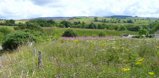
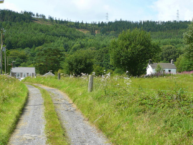
Dulais Valley Images
Images are sourced within 2km of 51.752072/-3.7284791 or Grid Reference SN8007. Thanks to Geograph Open Source API. All images are credited.


Dulais Valley is located at Grid Ref: SN8007 (Lat: 51.752072, Lng: -3.7284791)
Unitary Authority: Neath Port Talbot
Police Authority: South Wales
Also known as: Cwm Dulais
What 3 Words
///headstone.wire.equipping. Near Seven Sisters, Neath Port Talbot
Nearby Locations
Related Wikis

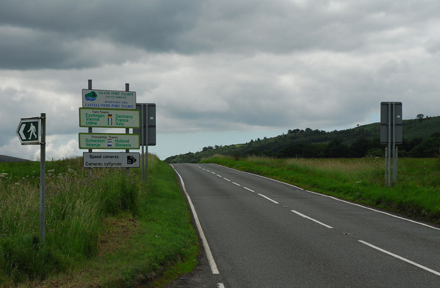
A4109 road
The A4109 road, known as the Inter-Valley Road, links Aberdulais with Glynneath in Neath Port Talbot county borough, Wales. The route begins in Aberdulais...

Seven Sisters A.F.C.
Seven Sisters Onllwyn F.C. is a Welsh football team based in Neath, currently playing in the Ardal SW, which is at the third tier of the Welsh football...
Seven Sisters, Neath Port Talbot
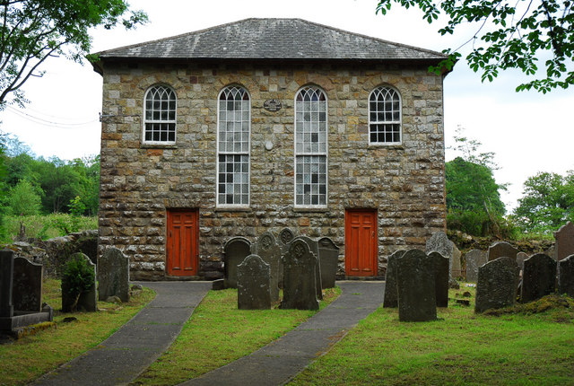
Seven Sisters (Welsh: Blaendulais: source of the (river) Dulais) is a village and community in the Dulais Valley, Wales, UK. It lies 10 miles (16 km) north...
Seven Sisters (electoral ward)
Seven Sisters was an electoral ward of the Welsh principal area of Neath Port Talbot county borough. The ward, which included, as well as Seven Sisters...
Nearby Amenities
Located within 500m of 51.752072,-3.7284791Have you been to Dulais Valley?
Leave your review of Dulais Valley below (or comments, questions and feedback).