The Valley

Valley in Norfolk Great Yarmouth

England

The Valley

Houses on edge of eroding cliff - Hemsby Houses exposed to coastal erosion after storms. November 2023
Houses on edge of eroding cliff - Hemsby Credit: Stephen McNair

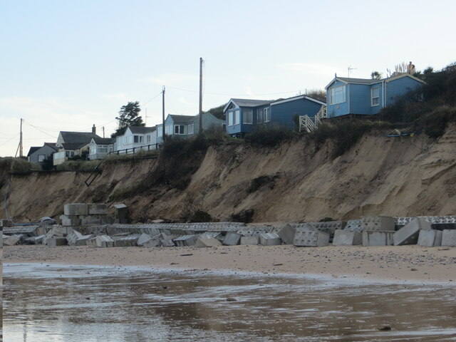
The Valley, Norfolk, commonly referred to as Valley, is a small village located in the county of Norfolk, England. Situated approximately 12 miles northwest of Norwich, Valley is nestled in the picturesque Wensum Valley, surrounded by rolling green countryside and beautiful landscapes.

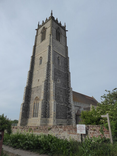
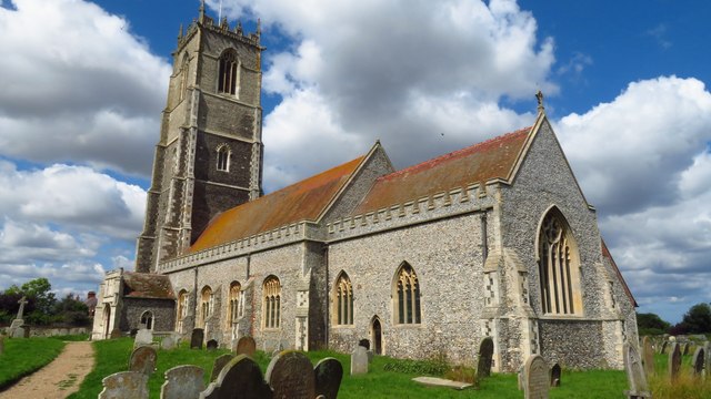
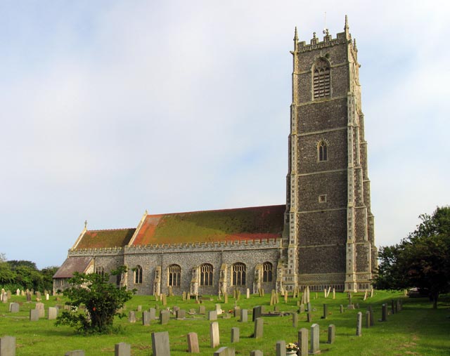
With a population of around 500 residents, Valley retains its rural charm and offers a tranquil and peaceful setting for its inhabitants. The village is characterized by a charming mix of traditional and modern architecture, with historic buildings such as the 12th-century church of St. Mary's adding to its cultural heritage.

Valley boasts a strong sense of community, with various amenities and facilities available to its residents. These include a primary school, a village hall, a local pub, and a few small shops catering to daily needs. The village also benefits from excellent transport links, with regular bus services connecting it to nearby towns and cities.

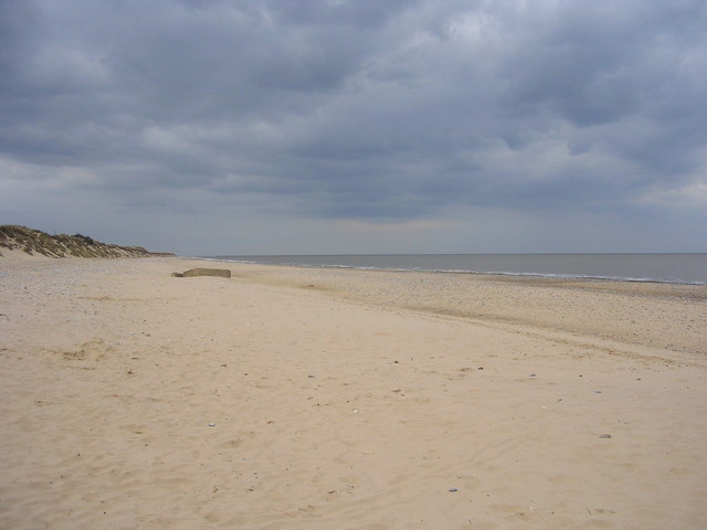
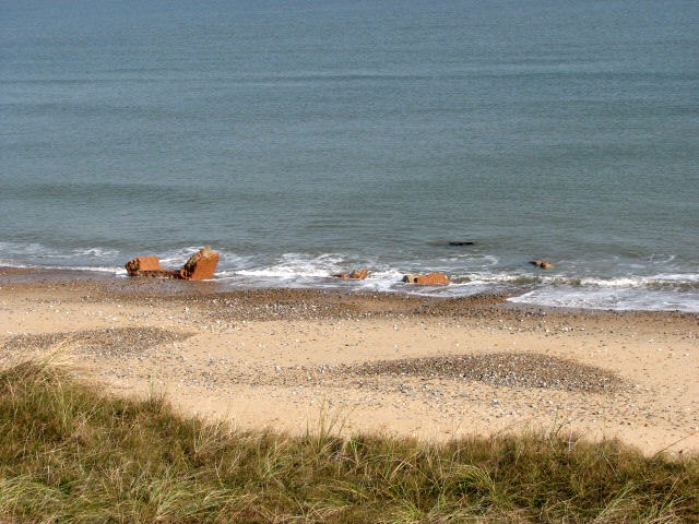
Nature lovers and outdoor enthusiasts will find plenty to explore in the surrounding area, with numerous footpaths and bridleways offering opportunities for walking, cycling, and horse riding. The Wensum River, which runs through the village, is a popular spot for fishing and boating activities.

Overall, The Valley, Norfolk, offers a peaceful and idyllic setting for those seeking a close-knit community, beautiful countryside, and a slower pace of life.

If you have any feedback on the listing, please let us know in the comments section below.
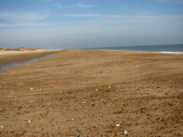
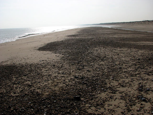
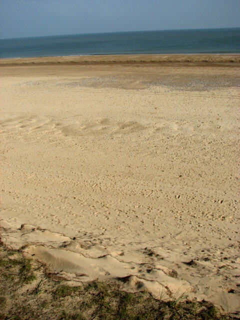
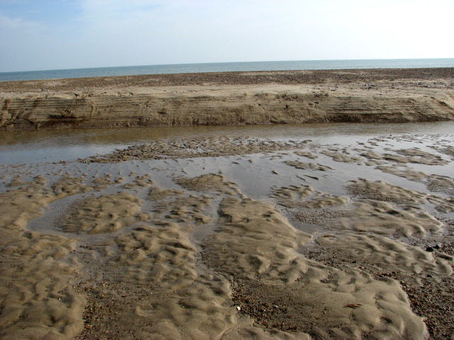
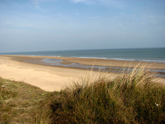
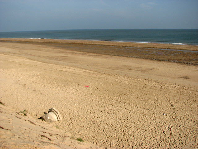
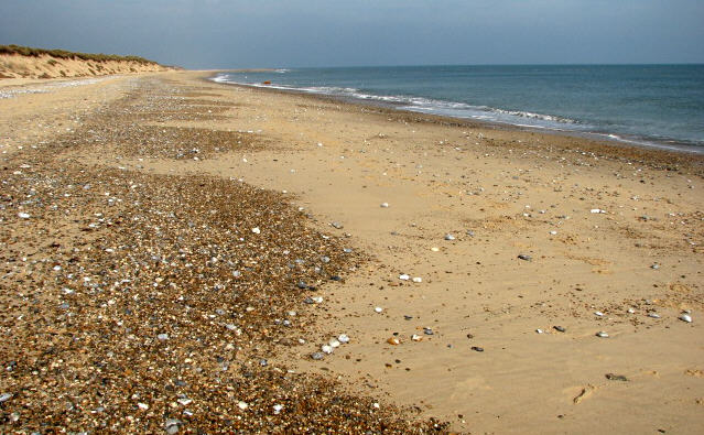
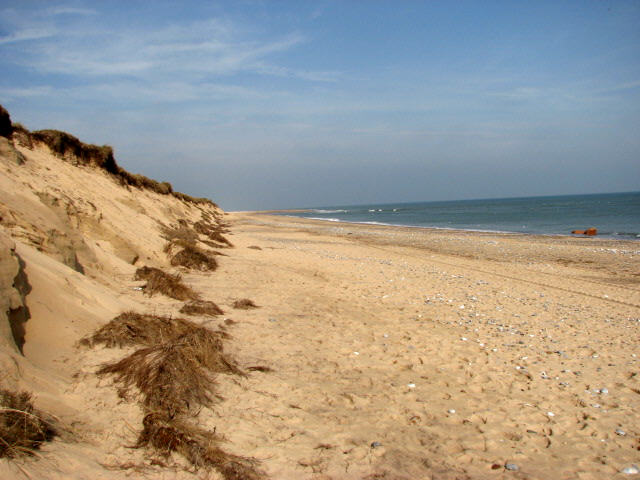
The Valley Images

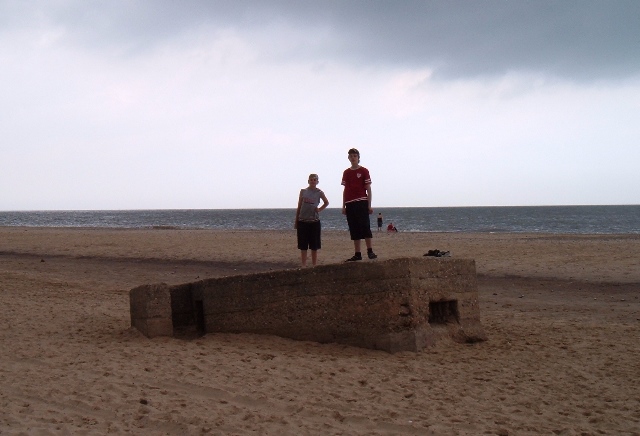
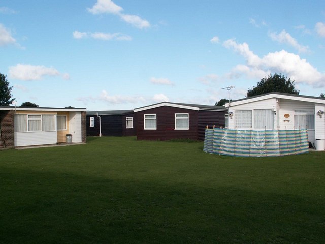
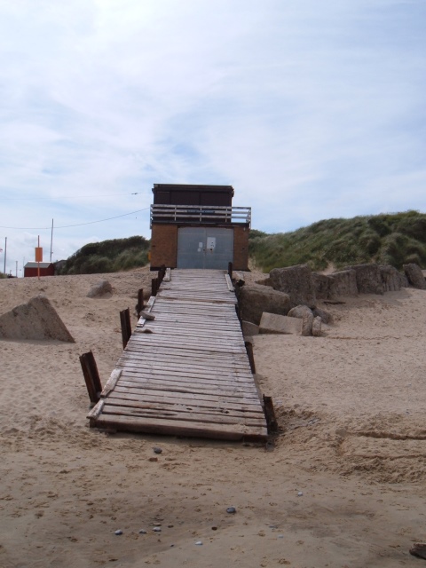
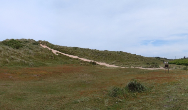
Images are sourced within 2km of 52.705185/1.7015572 or Grid Reference TG5018. Thanks to Geograph Open Source API. All images are credited.

Houses on edge of eroding cliff - Hemsby Houses exposed to coastal erosion after storms. November 2023
Houses on edge of eroding cliff - Hemsby
Houses exposed to coastal erosion after storms. November 2023
Winterton on Sea, All Saints
Winterton-on-Sea, Holy Trinity & All Saints Church
Beach at Hemsby, Norfolk
Look-out shelter on Hemsby Beach A view of a wartime look-out shelter on Hemsby beach - the shelter now sinking into the sand.
Look-out shelter on Hemsby Beach
A view of a wartime look-out shelter on Hemsby beach - the shelter now sinking into the sand.
Sundowner Chalet Park Hemsby near Great Yarmouth
Sundowner Chalet Park
Hemsby near Great Yarmouth
Lifeboat House, Hemsby A view of the Inshore Rescue Boat Station on Hemsby beach.
Lifeboat House, Hemsby
A view of the Inshore Rescue Boat Station on Hemsby beach.
Hemsby sand dunes A view of the sand dunes at Hemsby.
Showing the path leading from Kings Loke over the dunes to the beach.
Hemsby sand dunes
A view of the sand dunes at Hemsby. Showing the path leading from Kings Loke over the dunes to the beach.
View from sandbank The Beach Café and Coastguard Station can be glimpsed on the horizon (at left). The view is towards the north; the image was taken from a long sandbank exposed by the low tide. A view of the same sandbank, looking south, can be found here > <a href="https://www.geograph.org.uk/photo/581794">TG5019 : Sandbank exposed by low tide</a>

The coastline at Winterton is historically known to be one of the most hazardous parts of the British coastline. On visiting Winterton-on-Sea in 1722, Daniel Defoe commented that all the houses of the village were constructed from the timbers of wrecked ships.  In order to stabilise the coastline against erosion marram grass was planted and by the early 19th century dunes had built up, forming a barrier between the high water mark and the ridge on which the lighthouse stands.  During the second half of the 20th century the coastline has again changed in that some of the dunes eroded.  The area is mostly situated at approximately sea level and erosion and flooding are constant potential risks to the village.
View from sandbank
The Beach Café and Coastguard Station can be glimpsed on the horizon (at left). The view is towards the north; the image was taken from a long sandbank exposed by the low tide. A view of the same sandbank, looking south, can be found here > TG5019 : Sandbank exposed by low tide The coastline at Winterton is historically known to be one of the most hazardous parts of the British coastline. On visiting Winterton-on-Sea in 1722, Daniel Defoe commented that all the houses of the village were constructed from the timbers of wrecked ships. In order to stabilise the coastline against erosion marram grass was planted and by the early 19th century dunes had built up, forming a barrier between the high water mark and the ridge on which the lighthouse stands. During the second half of the 20th century the coastline has again changed in that some of the dunes eroded. The area is mostly situated at approximately sea level and erosion and flooding are constant potential risks to the village.
Sandbank exposed by low tide This view shows the sandbank in the other direction, looking south towards Hemsby. A view of the same sandbank, looking north, can be found here > <a href="https://www.geograph.org.uk/photo/581792">TG5019 : View from sandbank</a>

The coastline at Winterton is historically known to be one of the most hazardous parts of the British coastline. On visiting Winterton-on-Sea in 1722, Daniel Defoe commented that all the houses of the village were constructed from the timbers of wrecked ships.  In order to stabilise the coastline against erosion marram grass was planted and by the early 19th century dunes had built up, forming a barrier between the high water mark and the ridge on which the lighthouse stands.  During the second half of the 20th century the coastline has again changed in that some of the dunes eroded.  The area is mostly situated at approximately sea level and erosion and flooding are constant potential risks to the village.
Sandbank exposed by low tide
This view shows the sandbank in the other direction, looking south towards Hemsby. A view of the same sandbank, looking north, can be found here > TG5019 : View from sandbank The coastline at Winterton is historically known to be one of the most hazardous parts of the British coastline. On visiting Winterton-on-Sea in 1722, Daniel Defoe commented that all the houses of the village were constructed from the timbers of wrecked ships. In order to stabilise the coastline against erosion marram grass was planted and by the early 19th century dunes had built up, forming a barrier between the high water mark and the ridge on which the lighthouse stands. During the second half of the 20th century the coastline has again changed in that some of the dunes eroded. The area is mostly situated at approximately sea level and erosion and flooding are constant potential risks to the village.
Winterton Beach at low tide The coastline at Winterton is historically known to be one of the most hazardous parts of the British coastline. On visiting Winterton-on-Sea in 1722, Daniel Defoe commented that all the houses of the village were constructed from the timbers of wrecked ships.  In order to stabilise the coastline against erosion marram grass was planted and by the early 19th century dunes had built up, forming a barrier between the high water mark and the ridge on which the lighthouse stands.  During the second half of the 20th century the coastline has again changed in that some of the dunes eroded.  The area is mostly situated at approximately sea level and erosion and flooding are constant potential risks to the village.
Winterton Beach at low tide
The coastline at Winterton is historically known to be one of the most hazardous parts of the British coastline. On visiting Winterton-on-Sea in 1722, Daniel Defoe commented that all the houses of the village were constructed from the timbers of wrecked ships. In order to stabilise the coastline against erosion marram grass was planted and by the early 19th century dunes had built up, forming a barrier between the high water mark and the ridge on which the lighthouse stands. During the second half of the 20th century the coastline has again changed in that some of the dunes eroded. The area is mostly situated at approximately sea level and erosion and flooding are constant potential risks to the village.
Low Tide An exposed sandbank on Winterton beach, the North Sea beyond. The coastline at Winterton is historically known to be one of the most hazardous parts of the British coastline. On visiting Winterton-on-Sea in 1722, Daniel Defoe commented that all the houses of the village were constructed from the timbers of wrecked ships.  In order to stabilise the coastline against erosion marram grass was planted and by the early 19th century dunes had built up, forming a barrier between the high water mark and the ridge on which the lighthouse stands.  During the second half of the 20th century the coastline has again changed in that some of the dunes eroded.  The area is mostly situated at approximately sea level and erosion and flooding are constant potential risks to the village.
Low Tide
An exposed sandbank on Winterton beach, the North Sea beyond. The coastline at Winterton is historically known to be one of the most hazardous parts of the British coastline. On visiting Winterton-on-Sea in 1722, Daniel Defoe commented that all the houses of the village were constructed from the timbers of wrecked ships. In order to stabilise the coastline against erosion marram grass was planted and by the early 19th century dunes had built up, forming a barrier between the high water mark and the ridge on which the lighthouse stands. During the second half of the 20th century the coastline has again changed in that some of the dunes eroded. The area is mostly situated at approximately sea level and erosion and flooding are constant potential risks to the village.
Found on the beach When the sea water recedes at low tide, dead crabs are only one of the many objects that can be found deposited on the beach. This specimen is adorned with a long spiky 'tail'.
Found on the beach
When the sea water recedes at low tide, dead crabs are only one of the many objects that can be found deposited on the beach. This specimen is adorned with a long spiky 'tail'.
View from footpath in the dunes The coastline at Winterton is historically known to be one of the most hazardous parts of the British coastline. On visiting Winterton-on-Sea in 1722, Daniel Defoe commented that all the houses of the village were constructed from the timbers of wrecked ships.  In order to stabilise the coastline against erosion marram grass was planted and by the early 19th century dunes had built up, forming a barrier between the high water mark and the ridge on which the lighthouse stands.  During the second half of the 20th century the coastline has again changed in that some of the dunes eroded.  The area is mostly situated at approximately sea level and erosion and flooding are constant potential risks to the village.
View from footpath in the dunes
The coastline at Winterton is historically known to be one of the most hazardous parts of the British coastline. On visiting Winterton-on-Sea in 1722, Daniel Defoe commented that all the houses of the village were constructed from the timbers of wrecked ships. In order to stabilise the coastline against erosion marram grass was planted and by the early 19th century dunes had built up, forming a barrier between the high water mark and the ridge on which the lighthouse stands. During the second half of the 20th century the coastline has again changed in that some of the dunes eroded. The area is mostly situated at approximately sea level and erosion and flooding are constant potential risks to the village.
Anti-invasion defences from WWII exposed by coastal erosion During World War II, the beaches in the area were extensively protected by erecting a number of anti-invasion defences such as barriers of scaffolding, anti-tank cubes and a number of pillboxes.  As a result of a landslide in February 2005 many of these WWII constructions, which over time had been covered by sand, were exposed and many of the anti-tank blocks in the vicinity of the beach car park toppled onto the beach. See > <a href="https://www.geograph.org.uk/photo/581786">TG4919 : Anti-invasion defences from WWII (2)</a> and <a href="https://www.geograph.org.uk/photo/581784">TG4919 : Anti-invasion defences from WWII (1)</a>. Similar constructions (see bottom left corner of image), have been exposed by wind and sea water and can be found in other sections of the beach, usually at the bottom of a dune.
Anti-invasion defences from WWII exposed by coastal erosion
During World War II, the beaches in the area were extensively protected by erecting a number of anti-invasion defences such as barriers of scaffolding, anti-tank cubes and a number of pillboxes. As a result of a landslide in February 2005 many of these WWII constructions, which over time had been covered by sand, were exposed and many of the anti-tank blocks in the vicinity of the beach car park toppled onto the beach. See > TG4919 : Anti-invasion defences from WWII (2) and TG4919 : Anti-invasion defences from WWII (1). Similar constructions (see bottom left corner of image), have been exposed by wind and sea water and can be found in other sections of the beach, usually at the bottom of a dune.
View north on deserted beach The coastline at Winterton is historically known to be one of the most hazardous parts of the British coastline. On visiting Winterton-on-Sea in 1722, Daniel Defoe commented that all the houses of the village were constructed from the timbers of wrecked ships.  In order to stabilise the coastline against erosion marram grass was planted and by the early 19th century dunes had built up, forming a barrier between the high water mark and the ridge on which the lighthouse stands.  During the second half of the 20th century the coastline has again changed in that some of the dunes eroded.  The area is mostly situated at approximately sea level and erosion and flooding are constant potential risks to the village.
View north on deserted beach
The coastline at Winterton is historically known to be one of the most hazardous parts of the British coastline. On visiting Winterton-on-Sea in 1722, Daniel Defoe commented that all the houses of the village were constructed from the timbers of wrecked ships. In order to stabilise the coastline against erosion marram grass was planted and by the early 19th century dunes had built up, forming a barrier between the high water mark and the ridge on which the lighthouse stands. During the second half of the 20th century the coastline has again changed in that some of the dunes eroded. The area is mostly situated at approximately sea level and erosion and flooding are constant potential risks to the village.
Dunes and a deep blue North Sea The coastline at Winterton is historically known to be one of the most hazardous parts of the British coastline. On visiting Winterton-on-Sea in 1722, Daniel Defoe commented that all the houses of the village were constructed from the timbers of wrecked ships.  In order to stabilise the coastline against erosion marram grass was planted and by the early 19th century dunes had built up, forming a barrier between the high water mark and the ridge on which the lighthouse stands.  During the second half of the 20th century the coastline has again changed in that some of the dunes eroded.  The area is mostly situated at approximately sea level and erosion and flooding are constant potential risks to the village.
Dunes and a deep blue North Sea
The coastline at Winterton is historically known to be one of the most hazardous parts of the British coastline. On visiting Winterton-on-Sea in 1722, Daniel Defoe commented that all the houses of the village were constructed from the timbers of wrecked ships. In order to stabilise the coastline against erosion marram grass was planted and by the early 19th century dunes had built up, forming a barrier between the high water mark and the ridge on which the lighthouse stands. During the second half of the 20th century the coastline has again changed in that some of the dunes eroded. The area is mostly situated at approximately sea level and erosion and flooding are constant potential risks to the village.
All that remains of a house lost to the sea The coastline at Winterton is historically known to be one of the most hazardous parts of the British coastline. On visiting Winterton-on-Sea in 1722, Daniel Defoe commented that all the houses of the village were constructed from the timbers of wrecked ships.  In order to stabilise the coastline against erosion marram grass was planted and by the early 19th century dunes had built up, forming a barrier between the high water mark and the ridge on which the lighthouse stands.  During the second half of the 20th century the coastline has again changed in that some of the dunes eroded.  The area is mostly situated at approximately sea level and erosion and flooding are constant potential risks to the village. Here the low tide has exposed the location where a house once stood.
All that remains of a house lost to the sea
The coastline at Winterton is historically known to be one of the most hazardous parts of the British coastline. On visiting Winterton-on-Sea in 1722, Daniel Defoe commented that all the houses of the village were constructed from the timbers of wrecked ships. In order to stabilise the coastline against erosion marram grass was planted and by the early 19th century dunes had built up, forming a barrier between the high water mark and the ridge on which the lighthouse stands. During the second half of the 20th century the coastline has again changed in that some of the dunes eroded. The area is mostly situated at approximately sea level and erosion and flooding are constant potential risks to the village. Here the low tide has exposed the location where a house once stood.
Show me another place!

The Valley is located at Grid Ref: TG5018 (Lat: 52.705185, Lng: 1.7015572)

Administrative County: Norfolk

District: Great Yarmouth

Police Authority: Norfolk

What 3 Words

///opens.fuse.poster. Near Hemsby, Norfolk

Nearby Locations

The Valley

Related Wikis

Winterton Lighthouse

Winterton Lighthouse is located in Winterton-on-Sea in the English county of Norfolk. In 1845 Winterton Ness was described as being 'well known to the...

Hemsby

Hemsby is a village, seaside resort and civil parish in the county of Norfolk, England. It is situated some 8 mi (13 km) north of the town of Great Yarmouth...

Hemsby railway station

Hemsby railway station was a station in Hemsby, Norfolk. It was on the line between Melton Constable and Great Yarmouth. It was closed in 1959. == References ==

Winterton-on-Sea

Winterton-on-Sea is a village and civil parish on the North Sea coast of the English county of Norfolk. It is 8 miles (13 km) north of Great Yarmouth and...

Nearby Amenities

Located within 500m of 52.705185,1.7015572
Addr Housename: The Lookout
Lat/Long: 52.7062836/1.6982391
Fixme: Are there steps down here?
Lat/Long: 52.7089104/1.6983814
The data included in this document is from www.openstreetmap.org. The data is made available under ODbL.

Have you been to The Valley?

Leave your review of The Valley below (or comments, questions and feedback).