Drizzle Den

Valley in Norfolk Broadland

England

Drizzle Den

Old Milestone (south face) by the B1149, Holt Road, Felthorpe Parish Carved stone post by the B1149, in parish of FELTHORPE (BROADLAND District), Holt Road, opposite No. 24, on the verge, on West side of road. Norfolk County Council pillar, erected by an unknown authority in the 19th century. An earlier photograph can be found here <a title="https://www.geograph.org.uk/photo/6616348" href="https://www.geograph.org.uk/photo/6616348">Link</a>.

Inscription reads:- : TO / HOLT / 7 / MILES : : FELTHORPE : : TO / NORWICH / 14 / MILES : 

Listed. 

Milestone Society National ID: NO_NH07.
Old Milestone (south face) by the B1149, Holt Road, Felthorpe Parish Credit: Alan Lake

Drizzle Den, Norfolk, commonly known as Valley, is a picturesque village located in the county of Norfolk, England. Situated in the eastern part of the country, this charming settlement is nestled in a valley, hence its alternative name.

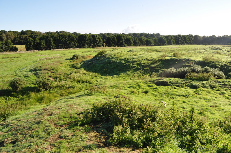
With a population of around 1,500 residents, Drizzle Den offers a tranquil and idyllic setting. The village is characterized by its lush green landscapes, rolling hills, and meandering rivers, creating a beautiful countryside atmosphere. The area is known for its favorable climate, which includes mild temperatures and frequent rainfall, contributing to the village's nickname, Drizzle Den.

The village boasts a rich history that dates back centuries, evident in its well-preserved architecture and landmarks. St. Mary's Church, a prominent feature in the village, showcases magnificent medieval design, while the nearby Valley Hall is a grand Georgian-style mansion that adds to the area's historical charm.

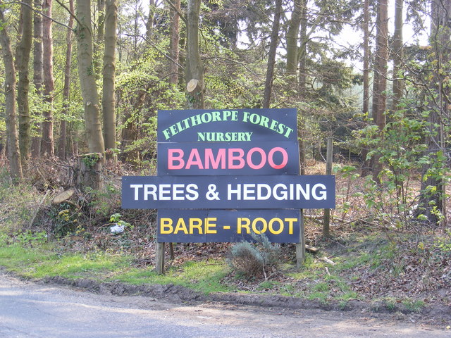
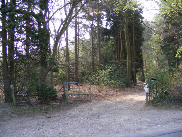
Drizzle Den offers a range of amenities to cater to both residents and visitors. The village is home to a primary school, a community center, and several local shops and businesses. Additionally, outdoor enthusiasts can explore the numerous walking trails and cycling routes that meander through the surrounding countryside.

Despite its small size, Drizzle Den hosts various community events throughout the year, including a summer fair and an annual village fete. These events provide an opportunity for residents to come together and celebrate their tight-knit community spirit.

Overall, Drizzle Den, Norfolk (Valley), offers a serene and picturesque retreat for those seeking a peaceful countryside getaway. With its stunning natural surroundings and rich history, this village provides an authentic taste of rural England.

If you have any feedback on the listing, please let us know in the comments section below.
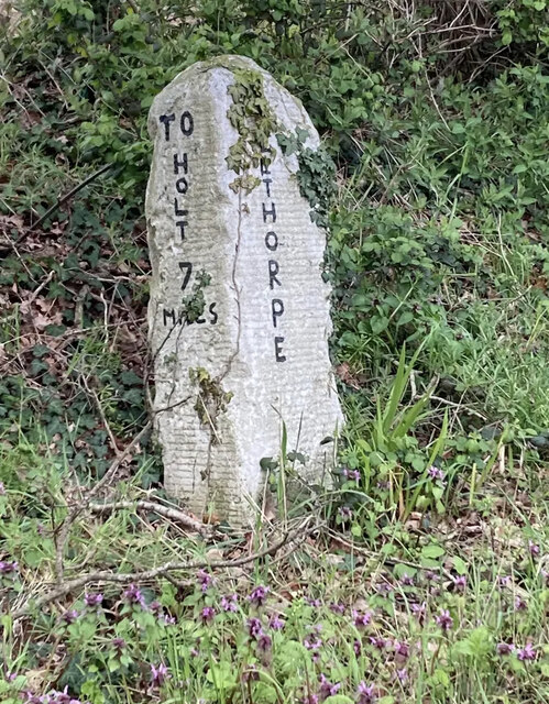
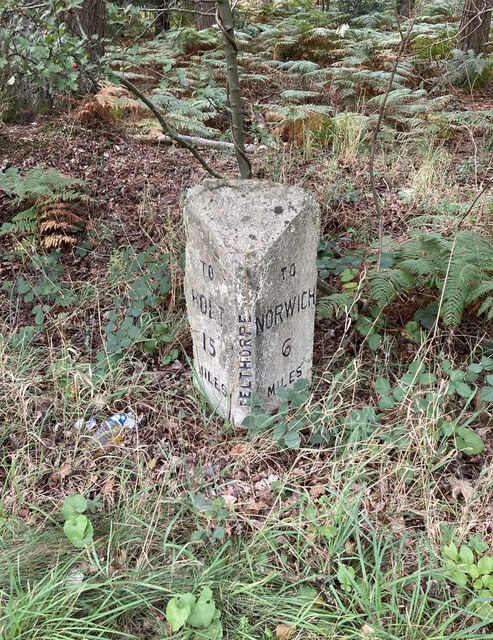
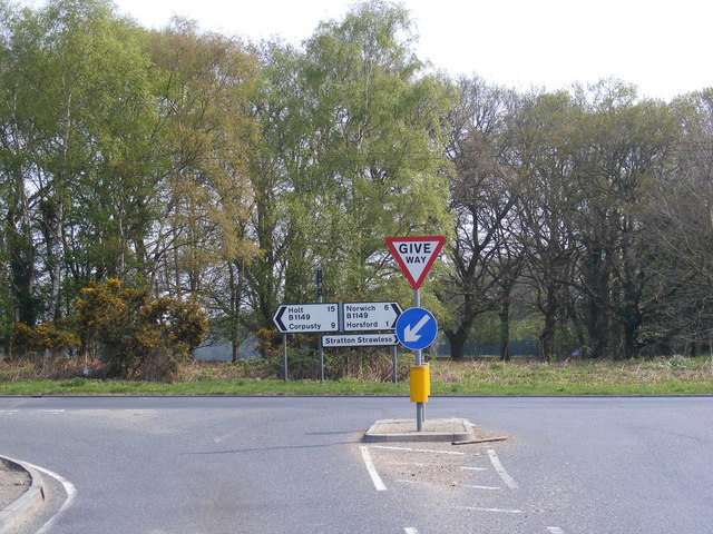
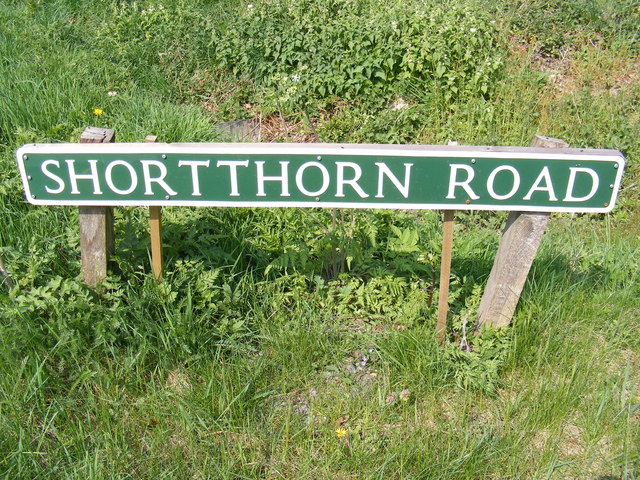
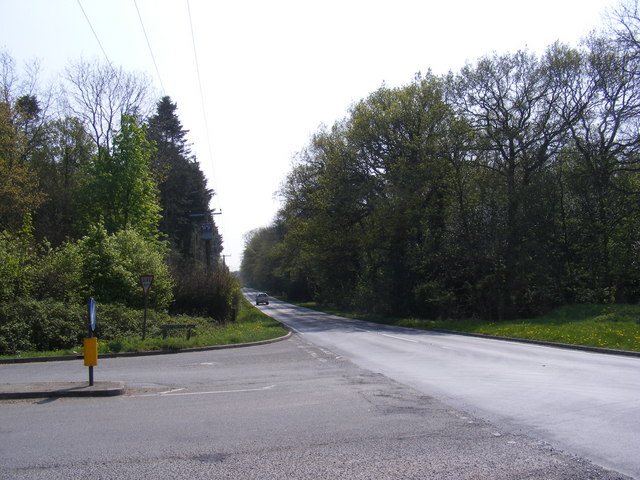
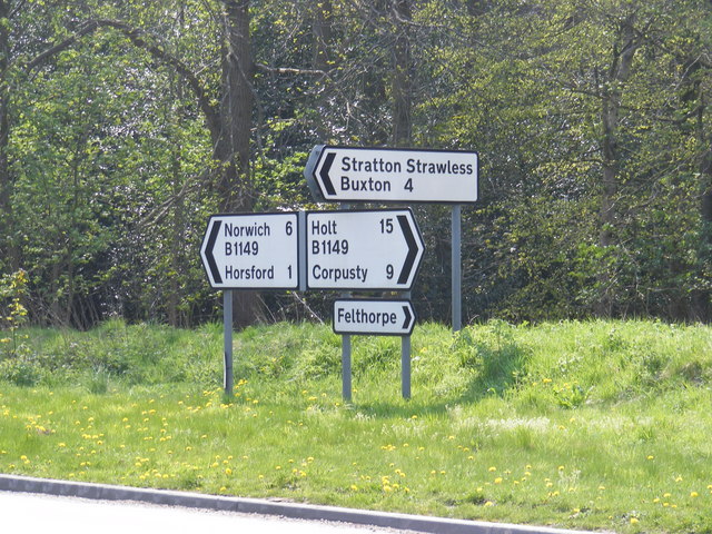
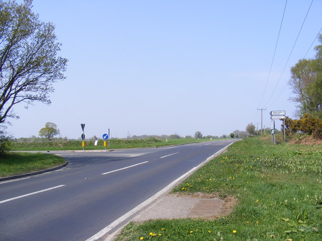
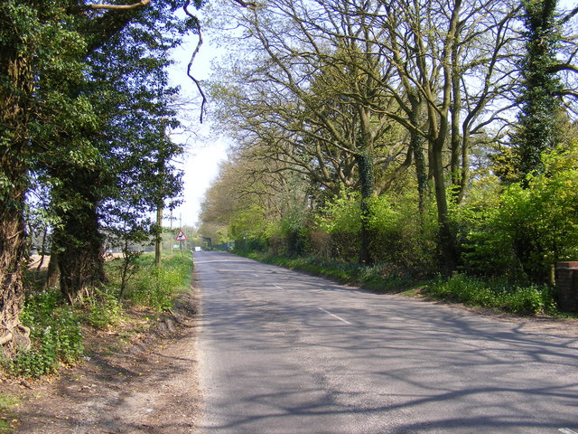
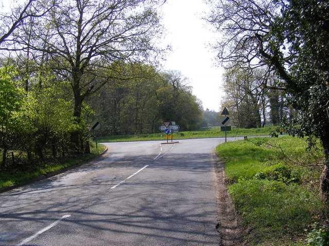
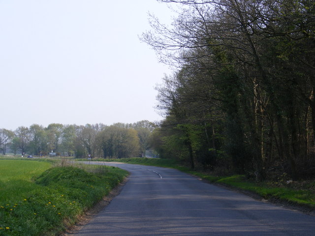
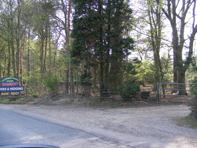
Drizzle Den Images

Images are sourced within 2km of 52.724157/1.2410896 or Grid Reference TG1818. Thanks to Geograph Open Source API. All images are credited.

Old Milestone (south face) by the B1149, Holt Road, Felthorpe Parish Carved stone post by the B1149, in parish of FELTHORPE (BROADLAND District), Holt Road, opposite No. 24, on the verge, on West side of road. Norfolk County Council pillar, erected by an unknown authority in the 19th century. An earlier photograph can be found here <a title="https://www.geograph.org.uk/photo/6616348" href="https://www.geograph.org.uk/photo/6616348">Link</a>.

Inscription reads:- : TO / HOLT / 7 / MILES : : FELTHORPE : : TO / NORWICH / 14 / MILES : 

Listed. 

Milestone Society National ID: NO_NH07.
Old Milestone (south face) by the B1149, Holt Road, Felthorpe Parish
Carved stone post by the B1149, in parish of FELTHORPE (BROADLAND District), Holt Road, opposite No. 24, on the verge, on West side of road. Norfolk County Council pillar, erected by an unknown authority in the 19th century. An earlier photograph can be found here Link. Inscription reads:- : TO / HOLT / 7 / MILES : : FELTHORPE : : TO / NORWICH / 14 / MILES : Listed. Milestone Society National ID: NO_NH07.
Old Milepost by the B1149, north of Horsford, Felthorpe parish Concrete post by the B1149, in parish of Felthorpe (Broadland District), 10m North of pull-in/lay-by, on the verge overgrown by brambles and backed by woodland, on West side of road. NCC concrete, erected by the County Council in the 19th/20th century. 

Inscription reads:-
: TO / HOLT / 15 / MILES : : NCC / MAIN ROAD : : FELTHORPE : : TO / NORWICH / 6 / MILES :
Carved benchmark recorded.

Norfolk HER.
NHER Number: 56448 <span class="nowrap"><a title="https://www.heritagegateway.org.uk/Gateway/Results_Single.aspx?uid=MNF62856&resourceID=1002" rel="nofollow ugc noopener" href="https://www.heritagegateway.org.uk/Gateway/Results_Single.aspx?uid=MNF62856&resourceID=1002">Link</a><img style="margin-left:2px;" alt="External link" title="External link - shift click to open in new window" src="https://s1.geograph.org.uk/img/external.png" width="10" height="10"/></span>

Milestone Society National ID: NO_NH06
Old Milepost by the B1149, north of Horsford, Felthorpe parish
Concrete post by the B1149, in parish of Felthorpe (Broadland District), 10m North of pull-in/lay-by, on the verge overgrown by brambles and backed by woodland, on West side of road. NCC concrete, erected by the County Council in the 19th/20th century. Inscription reads:- : TO / HOLT / 15 / MILES : : NCC / MAIN ROAD : : FELTHORPE : : TO / NORWICH / 6 / MILES : Carved benchmark recorded. Norfolk HER. NHER Number: 56448 LinkExternal link Milestone Society National ID: NO_NH06
Horsford Woods Popular woodland for walking.
Horsford Woods
Popular woodland for walking.
Short -Thorn Road Approaching the B1149 Holt Road
Short -Thorn Road
Approaching the B1149 Holt Road
Short -Thorn Road Approaching the B1149 Holt Road
Short -Thorn Road
Approaching the B1149 Holt Road
B1149 Holt Road Looking towards Short-Thorn Road at the junction with Short-Thorn Road
B1149 Holt Road
Looking towards Short-Thorn Road at the junction with Short-Thorn Road
Road signs on the B1149 Holt Road At the junction with Short-Thorn Road
Road signs on the B1149 Holt Road
At the junction with Short-Thorn Road
Stratton Strawless sign On Short-Thorn Road near the junction with the B1149 Holt Road
Stratton Strawless sign
On Short-Thorn Road near the junction with the B1149 Holt Road
Short -Thorn Road sign At the junction with the B1149 Holt Road
Short -Thorn Road sign
At the junction with the B1149 Holt Road
B1149 Holt Road Looking towards Horsford at the junction with Short-Thorn Road
B1149 Holt Road
Looking towards Horsford at the junction with Short-Thorn Road
Roadsigns on the B1149 Holt Road At the junction with Short-Thorn Road
Roadsigns on the B1149 Holt Road
At the junction with Short-Thorn Road
B1149 Holt Road Looking towards Haveringland Road
B1149 Holt Road
Looking towards Haveringland Road
Short -Thorn Road <span class="nowrap"><a title="https://en.wikipedia.org/wiki/Felthorpe" rel="nofollow ugc noopener" href="https://en.wikipedia.org/wiki/Felthorpe">Link</a><img style="margin-left:2px;" alt="External link" title="External link - shift click to open in new window" src="https://s1.geograph.org.uk/img/external.png" width="10" height="10"/></span>
Short -Thorn Road
Short -Thorn Road Approaching the B1149 Holt Road
Short -Thorn Road
Approaching the B1149 Holt Road
Short -Thorn Road, Felthorpe Approaching the B1149 Holt Road
Short -Thorn Road, Felthorpe
Approaching the B1149 Holt Road
The entrance to Felthorpe Forest Nursery Off Short-Thorn Road
The entrance to Felthorpe Forest Nursery
Off Short-Thorn Road
Felthorpe Forest Nursery sign Off Short-Thorn Road
Felthorpe Forest Nursery sign
Off Short-Thorn Road
The entrance to Felthorpe Forest Nursery Off Short-Thorn Road
The entrance to Felthorpe Forest Nursery
Off Short-Thorn Road
Show me another place!

Drizzle Den is located at Grid Ref: TG1818 (Lat: 52.724157, Lng: 1.2410896)

Administrative County: Norfolk

District: Broadland

Police Authority: Norfolk

What 3 Words

///eyeful.masters.snippets. Near Horsford, Norfolk

Related Wikis

Felthorpe

Felthorpe is a village and civil parish in the English county of Norfolk. The village is located 11 miles (18 km) east of Dereham and 7.1 miles (11.4 km...

St Faith's and Aylsham Rural District

St Faith's and Aylsham Rural Districts were adjacent rural districts in Norfolk, England from 1894 to 1935.They were formed under the Local Government...

Horsford

Horsford is a village six miles north of Norwich, England which is surrounded by the Horsford Forest and is named after the dried up section of the River...

Hevingham

Hevingham is a village and civil parish in the Broadland district of the English county of Norfolk. Situated between the A140 road Norwich to Cromer road...

Haveringland

Haveringland is a village and civil parish in the English county of Norfolk about 8 miles (13 km) north-west of Norwich. It covers an area of 8.91 km2...
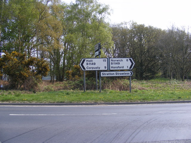
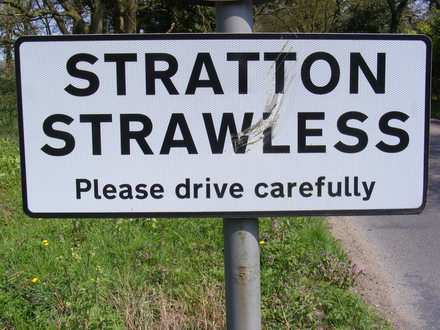
Stratton Strawless

Stratton Strawless is a village in the county of Norfolk and district of Broadland. The civil parish covers 714 acres (289 ha) and has a population of...

Horsford Castle

Horsford Castle is situated in the village of Horsford, 6 miles to the north of the city of Norwich. == Details == Before the Norman conquest of England...

Hainford

Hainford (originally Haynford) is a village and civil parish in the English county of Norfolk. It covers an area of 6.94 km2 (2.68 sq mi) and had a population...

Nearby Amenities

Located within 500m of 52.724157,1.2410896
Garage, opp
Naptan AtcoCode: 2900S5510
Naptan Bearing: NE
Naptan BusStopType: CUS
Naptan CommonName: Garage
Naptan Indicator: opp
Naptan Landmark: Garage
Naptan Locality: Stratton Strawless
Naptan NaptanCode: nfodwdap
Naptan Street: Shortthorn Road
Naptan Verified: no
Source: naptan_import
Lat/Long: 52.7265521/1.2387687
Bus Stop
Garage, adj
Naptan AtcoCode: 2900S559
Naptan Bearing: SW
Naptan CommonName: Garage
Naptan Indicator: adj
Naptan Landmark: Garage
Naptan Locality: Stratton Strawless
Naptan NaptanCode: nfodwdgp
Naptan Street: Shortthorn Road
Naptan Verified: no
Source: naptan_import
Lat/Long: 52.7264211/1.2386257
The data included in this document is from www.openstreetmap.org. The data is made available under ODbL.

Have you been to Drizzle Den?

Leave your review of Drizzle Den below (or comments, questions and feedback).