Braymeadow Bottom

Valley in Norfolk South Norfolk

England

Braymeadow Bottom

St Remigius Church, Hethersett
St Remigius Church, Hethersett Credit: Helen Steed

Braymeadow Bottom, situated in Norfolk, England, is a picturesque valley nestled within the heart of the county. This idyllic location is renowned for its natural beauty and tranquility, making it a popular destination for nature enthusiasts and those seeking a peaceful retreat.

The valley is characterized by its rolling hills, lush green meadows, and meandering streams, which add to its scenic charm. Braymeadow Bottom is home to a diverse range of flora and fauna, with wildflowers blooming in abundance during the spring and summer months. It is not uncommon to spot various bird species, from graceful swans to colorful kingfishers, along the banks of the streams.

The valley boasts a rich history, evident in the presence of ancient burial mounds and archaeological sites. These remnants provide insight into the area's past, dating back to the Neolithic and Bronze Age periods. Visitors can explore these historical landmarks, immersing themselves in the region's cultural heritage.

Braymeadow Bottom offers numerous recreational opportunities for outdoor enthusiasts. The valley's gentle slopes and extensive network of footpaths and bridleways make it an ideal location for hiking, cycling, and horseback riding. The peaceful atmosphere also makes it a popular spot for picnics and leisurely walks, providing a much-needed escape from the hustle and bustle of daily life.

Overall, Braymeadow Bottom is a haven of natural beauty and historical significance. Its picturesque landscapes, diverse wildlife, and recreational activities make it a must-visit destination for those seeking a peaceful retreat or a chance to connect with nature.

If you have any feedback on the listing, please let us know in the comments section below.

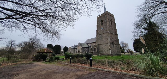
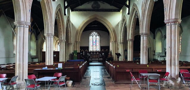
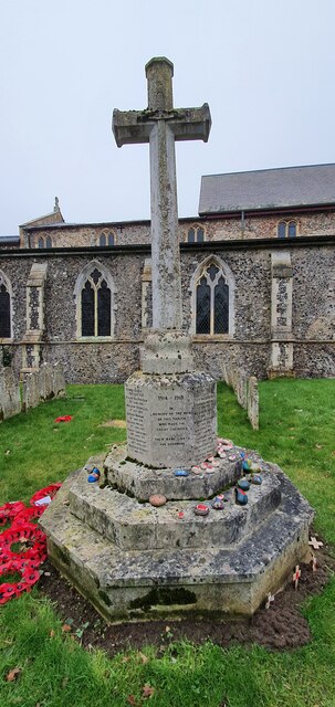
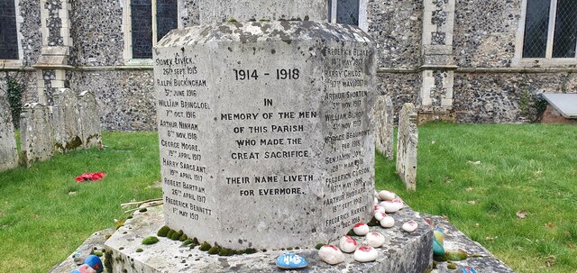
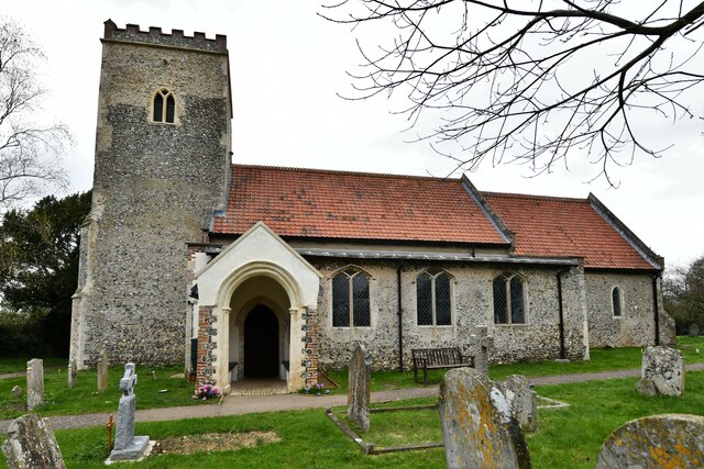
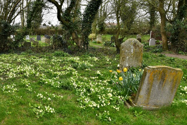
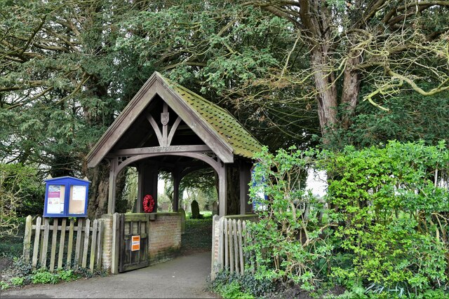
Braymeadow Bottom Images

Images are sourced within 2km of 52.610721/1.2038017 or Grid Reference TG1706. Thanks to Geograph Open Source API. All images are credited.

St Remigius Church, Hethersett
Interior of St Remigius Church, Hethersett
War memorial in the grounds of St Remigius Church, Hethersett
Names on the Hethersett war memorial - 1
Names on the Hethersett war memorial - 2
Names on the Hethersett war memorial - 3
Names on the Hethersett war memorial - 4
Names on the Hethersett war memorial - 5
War memorial inside St Remigius Church, Hethersett
Slip road leaving the A47 to join the A11
The A11 west approaching junction for Ketteringham
Little Melton,  St. Mary and All Saints Church: South western aspect
Little Melton, St. Mary and All Saints Church: South western aspect
Little Melton,  St. Mary and All Saints Church: South porch
Little Melton, St. Mary and All Saints Church: South porch
Little Melton,  St. Mary and All Saints Church: South aspect
Little Melton, St. Mary and All Saints Church: South aspect
Little Melton,  St. Mary and All Saints Church: A corner of the churchyard covered in primroses
Little Melton, St. Mary and All Saints Church: A corner of the churchyard covered in primroses
Little Melton,  St. Mary and All Saints Church: Eastern aspect
Little Melton, St. Mary and All Saints Church: Eastern aspect
Little Melton,  St. Mary and All Saints Church: Silver birch 'Betula pendula'
Little Melton, St. Mary and All Saints Church: Silver birch 'Betula pendula'
Little Melton,  St. Mary and All Saints Church: Lych gate
Little Melton, St. Mary and All Saints Church: Lych gate
Show me another place!

Braymeadow Bottom is located at Grid Ref: TG1706 (Lat: 52.610721, Lng: 1.2038017)

Administrative County: Norfolk

District: South Norfolk

Police Authority: Norfolk

What 3 Words

///detergent.vent.snore. Near Hethersett, Norfolk

Nearby Locations

Braymeadow Bottom

Related Wikis

Norwich City F.C. Under-23s and Academy

Norwich City Under-21s and Academy is the youth organisation run by Norwich City F.C. The team is made up of under-21 and academy players and is effectively...

Little Melton

Little Melton is a village on the outskirts of Norwich in the South Norfolk district of Norfolk, England. It covers an area of 2.75 km2 (1.06 sq mi) and...

Norfolk and Norwich University Hospital

The Norfolk and Norwich University Hospital (NNUH) is a large National Health Service academic teaching hospital in the Norwich Research Park on the western...

Quadram Institute

The Quadram Institute is a centre for food and health research, combining Quadram Institute Bioscience (formerly the Institute of Food Research), the Norfolk...

Nearby Amenities

Located within 500m of 52.610721,1.2038017
Power: tower
Ref: 4VV 206
Lat/Long: 52.6095452/1.2087402
Power: tower
Ref: 4VV 205
Lat/Long: 52.6095952/1.2032601
Power: tower
Ref: 4VV 204
Lat/Long: 52.6095785/1.1988211
Power: pole
Lat/Long: 52.6119447/1.2076559
Power: pole
Lat/Long: 52.610852/1.2005195
Power: pole
Lat/Long: 52.6073803/1.2013033
Power: pole
Lat/Long: 52.608628/1.2027055
Location Transition: yes
Power: pole
Lat/Long: 52.6106364/1.2050246
Power: pole
Lat/Long: 52.6107227/1.1974331
Power: pole
Lat/Long: 52.6127107/1.2085362
Power: pole
Lat/Long: 52.6126124/1.2081322
Power: pole
Lat/Long: 52.6129128/1.2101348
Power: pole
Lat/Long: 52.611315/1.2069653
Power: pole
Lat/Long: 52.6107905/1.1989944
Power: pole
Lat/Long: 52.6065545/1.2011421
Power: pole
Lat/Long: 52.6123602/1.2062025
Location Transition: yes
Power: pole
Lat/Long: 52.6092777/1.2034336
Power: pole
Lat/Long: 52.608054/1.2020589
Power: pole
Lat/Long: 52.6110286/1.2061456
Power: pole
Lat/Long: 52.6128339/1.2100292
Power: pole
Lat/Long: 52.6120795/1.2039087
Power: pole
Lat/Long: 52.6112651/1.2021805
Power: pole
Lat/Long: 52.6108917/1.2013933
Give Way
Lat/Long: 52.610629/1.2046807
Colour: red and white
Marker: aerial
Utility: gas
Lat/Long: 52.6080098/1.2015762
Colour: red and white
Marker: aerial
Utility: gas
Lat/Long: 52.6078643/1.2015501
Colour: yellow
Marker: post
Utility: gas
Lat/Long: 52.6113917/1.2018818
Colour: yellow
Marker: post
Utility: gas
Lat/Long: 52.6113071/1.2018737
Colour: red and white
Marker: aerial
Utility: gas
Lat/Long: 52.6113022/1.2018733
Traffic Calming: bump
Lat/Long: 52.6135435/1.2073886
Communication Mobile Phone: yes
Direction: NE
Man Made: mast
Material: metal
Operator: Three UK;EE
Tower Construction: lattice
Tower Type: communication
Lat/Long: 52.613128/1.2084793
Crossing
Crossing: uncontrolled
Crossing Ref: zebra
Lat/Long: 52.6137789/1.2067553
Give Way
Lat/Long: 52.6139346/1.2075485
Traffic Calming: bump
Lat/Long: 52.6132771/1.2081191
Crossing
Crossing: uncontrolled
Crossing Ref: zebra
Lat/Long: 52.6132976/1.2080624
The data included in this document is from www.openstreetmap.org. The data is made available under ODbL.

Have you been to Braymeadow Bottom?

Leave your review of Braymeadow Bottom below (or comments, questions and feedback).