Nut Tree Vale

Valley in Suffolk Mid Suffolk

England

Nut Tree Vale

The old watermill at Oakley The mill which stands on the River Dove, a tributary of the Waveney, had an undershot wheel roughly six feet wide and probably ceased to operate in the early 1800s. In the early 1830s the wheel was removed and part of the building was converted into a laundry. The river which is to the right of the building, is not fast flowing and has much vegetation in places upstream. The tail-race and millpond are however relatively clear with a small weir a short distance downstream. Access was granted by the kind permission of the owner.
<a href="https://www.geograph.org.uk/photo/6942267">TM1776 : The mill-race at Oakley old mill</a>
<a href="https://www.geograph.org.uk/photo/6942273">TM1776 : Oakley old watermill tail-race and millpond</a>
The old watermill at Oakley Credit: Adrian S Pye

Nut Tree Vale, Suffolk (Valley) is a picturesque and tranquil area located in the county of Suffolk, England. Situated amidst the rolling hills and verdant countryside, it offers breathtaking views and a tranquil atmosphere, making it a popular destination for nature lovers and those seeking a peaceful retreat.

The valley is named after the abundance of nut trees that grow in the area, providing a unique feature to the landscape. These trees include hazelnut, walnut, and chestnut, adding to the natural beauty and providing a habitat for various wildlife species.

The valley itself is characterized by its gentle slopes, lush greenery, and meandering streams, adding to its charm. It is a haven for walkers and hikers, offering a variety of scenic trails that wind through the valley, allowing visitors to explore the surrounding countryside at their leisure.

Wildlife enthusiasts will also find Nut Tree Vale a haven for birdwatching and spotting other fauna. The valley is home to a diverse range of bird species, including woodpeckers, owls, and various migratory birds during the spring and autumn seasons.

Although secluded, Nut Tree Vale is conveniently located near the historic town of Bury St Edmunds, which offers a range of amenities such as shops, restaurants, and accommodation options. Its proximity to Bury St Edmunds allows visitors to enjoy the tranquility of the valley while still having access to modern conveniences.

Overall, Nut Tree Vale, Suffolk (Valley) is a hidden gem that combines natural beauty, serenity, and convenient access to nearby amenities, making it an ideal destination for those seeking a peaceful and immersive experience in the Suffolk countryside.

If you have any feedback on the listing, please let us know in the comments section below.

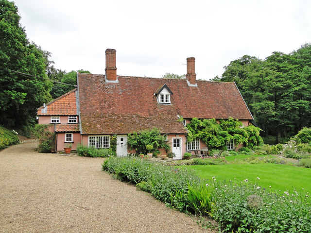
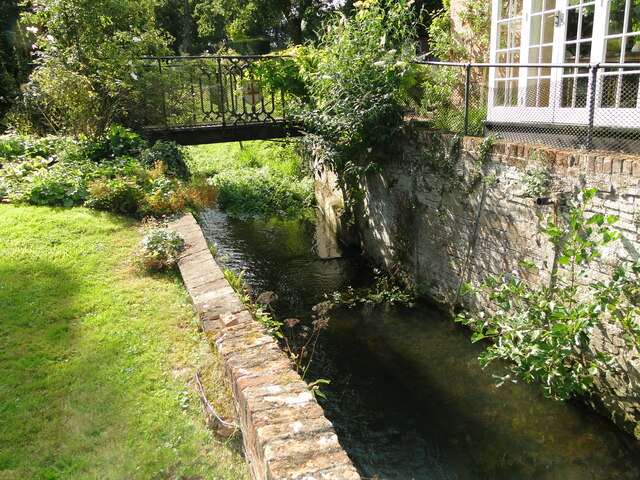
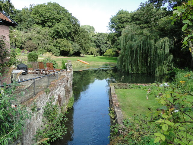
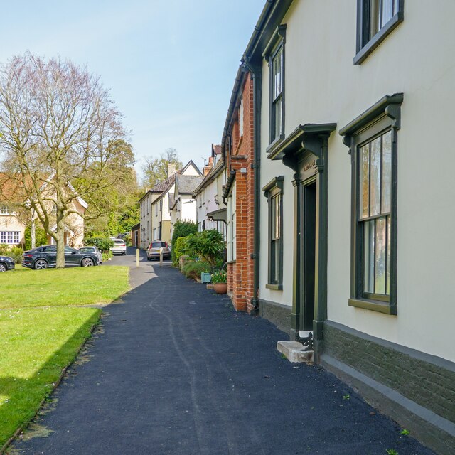
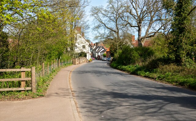
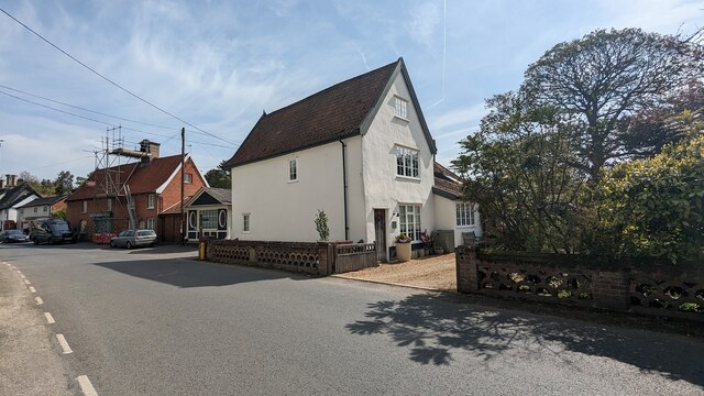
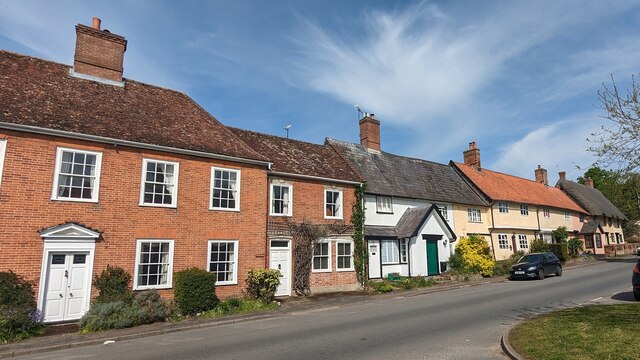
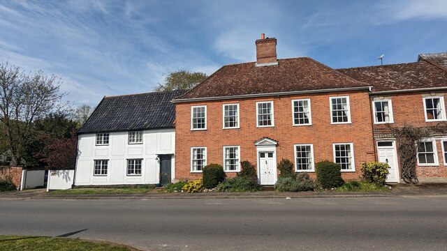
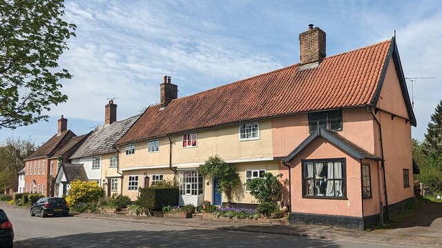
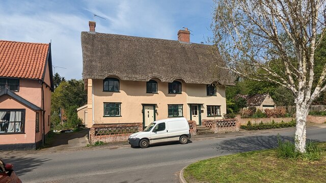
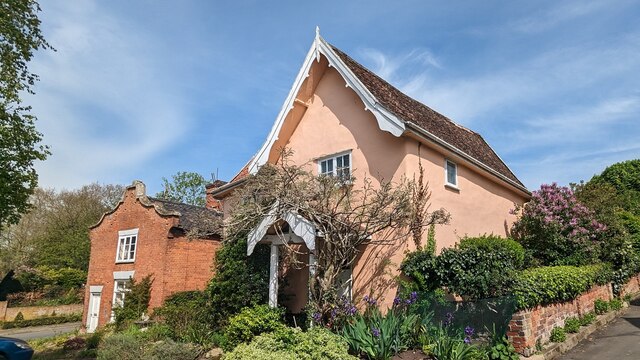
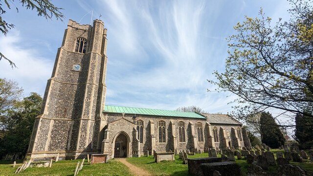
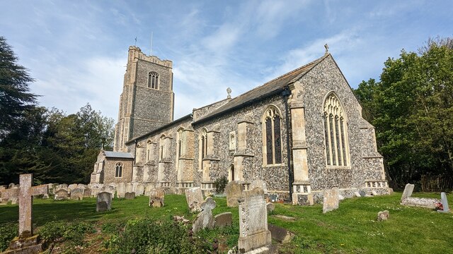
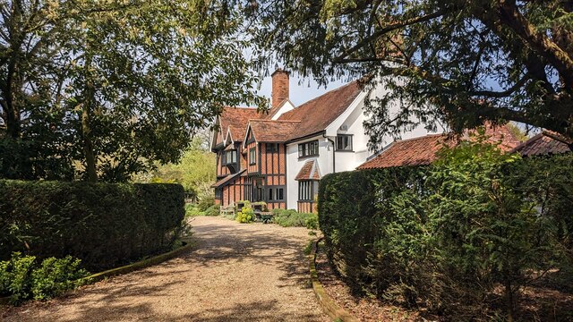
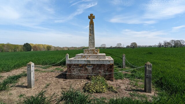
Nut Tree Vale Images

Images are sourced within 2km of 52.337854/1.1979027 or Grid Reference TM1775. Thanks to Geograph Open Source API. All images are credited.

The old watermill at Oakley The mill which stands on the River Dove, a tributary of the Waveney, had an undershot wheel roughly six feet wide and probably ceased to operate in the early 1800s. In the early 1830s the wheel was removed and part of the building was converted into a laundry. The river which is to the right of the building, is not fast flowing and has much vegetation in places upstream. The tail-race and millpond are however relatively clear with a small weir a short distance downstream. Access was granted by the kind permission of the owner.
<a href="https://www.geograph.org.uk/photo/6942267">TM1776 : The mill-race at Oakley old mill</a>
<a href="https://www.geograph.org.uk/photo/6942273">TM1776 : Oakley old watermill tail-race and millpond</a>
The old watermill at Oakley
The mill which stands on the River Dove, a tributary of the Waveney, had an undershot wheel roughly six feet wide and probably ceased to operate in the early 1800s. In the early 1830s the wheel was removed and part of the building was converted into a laundry. The river which is to the right of the building, is not fast flowing and has much vegetation in places upstream. The tail-race and millpond are however relatively clear with a small weir a short distance downstream. Access was granted by the kind permission of the owner. TM1776 : The mill-race at Oakley old mill TM1776 : Oakley old watermill tail-race and millpond
The mill-race at Oakley old mill The mill which stands on the River Dove, a tributary of the Waveney, had an undershot wheel roughly six feet wide and probably ceased to operate in the early 1800s. In the early 1830s the wheel was removed and part of the building was converted into a laundry. The river which is to the right of the building, is not fast flowing and has much vegetation in places upstream. The tail-race and millpond are however relatively clear with a small weir a short distance downstream. Access was granted by the kind permission of the owner.
<a href="https://www.geograph.org.uk/photo/6942263">TM1776 : The old watermill at Oakley</a>
The mill-race at Oakley old mill
The mill which stands on the River Dove, a tributary of the Waveney, had an undershot wheel roughly six feet wide and probably ceased to operate in the early 1800s. In the early 1830s the wheel was removed and part of the building was converted into a laundry. The river which is to the right of the building, is not fast flowing and has much vegetation in places upstream. The tail-race and millpond are however relatively clear with a small weir a short distance downstream. Access was granted by the kind permission of the owner. TM1776 : The old watermill at Oakley
Oakley old watermill tail-race and millpond Taken from the bridge over the former location of the undershot water-wheel showing the tail-race and millpond.
The mill which stands on the River Dove, a tributary of the Waveney, had an undershot wheel roughly six feet wide and probably ceased to operate in the early 1800s. In the early 1830s the wheel was removed and part of the building was converted into a laundry. The river which is to the right of the building, is not fast flowing and has much vegetation in places upstream. The tail-race and millpond are however relatively clear with a small weir a short distance downstream. Access was granted by the kind permission of the owner.
<a href="https://www.geograph.org.uk/photo/6942263">TM1776 : The old watermill at Oakley</a>
Oakley old watermill tail-race and millpond
Taken from the bridge over the former location of the undershot water-wheel showing the tail-race and millpond. The mill which stands on the River Dove, a tributary of the Waveney, had an undershot wheel roughly six feet wide and probably ceased to operate in the early 1800s. In the early 1830s the wheel was removed and part of the building was converted into a laundry. The river which is to the right of the building, is not fast flowing and has much vegetation in places upstream. The tail-race and millpond are however relatively clear with a small weir a short distance downstream. Access was granted by the kind permission of the owner. TM1776 : The old watermill at Oakley
Housing along the green at Low Street, Hoxne <span class="nowrap"><a title="https://en.wikipedia.org/wiki/Hoxne" rel="nofollow ugc noopener" href="https://en.wikipedia.org/wiki/Hoxne">Link</a><img style="margin-left:2px;" alt="External link" title="External link - shift click to open in new window" src="https://s1.geograph.org.uk/img/external.png" width="10" height="10"/></span>
Housing along the green at Low Street, Hoxne
Looking to Hoxne The road crosses the Gold Brook before entering the main part of the village.
Looking to Hoxne
The road crosses the Gold Brook before entering the main part of the village.
Bridge House and Bridge Cottage, Hoxne <span class="nowrap"><a title="https://historicengland.org.uk/listing/the-list/list-entry/1032479?section=official-list-entry" rel="nofollow ugc noopener" href="https://historicengland.org.uk/listing/the-list/list-entry/1032479?section=official-list-entry">Link</a><img style="margin-left:2px;" alt="External link" title="External link - shift click to open in new window" src="https://s1.geograph.org.uk/img/external.png" width="10" height="10"/></span>
Bridge House and Bridge Cottage, Hoxne
Pilgrim, Aldersyde and Beech Cottages, Hoxne <span class="nowrap"><a title="https://historicengland.org.uk/listing/the-list/list-entry/1284987?section=official-list-entry" rel="nofollow ugc noopener" href="https://historicengland.org.uk/listing/the-list/list-entry/1284987?section=official-list-entry">Link</a><img style="margin-left:2px;" alt="External link" title="External link - shift click to open in new window" src="https://s1.geograph.org.uk/img/external.png" width="10" height="10"/></span> and <span class="nowrap"><a title="https://historicengland.org.uk/listing/the-list/list-entry/1352374?section=official-list-entry" rel="nofollow ugc noopener" href="https://historicengland.org.uk/listing/the-list/list-entry/1352374?section=official-list-entry">Link</a><img style="margin-left:2px;" alt="External link" title="External link - shift click to open in new window" src="https://s1.geograph.org.uk/img/external.png" width="10" height="10"/></span>
Pilgrim, Aldersyde and Beech Cottages, Hoxne
LinkExternal link and LinkExternal link
Red House and Red House Cottage <span class="nowrap"><a title="https://historicengland.org.uk/listing/the-list/list-entry/1032518?section=official-list-entry" rel="nofollow ugc noopener" href="https://historicengland.org.uk/listing/the-list/list-entry/1032518?section=official-list-entry">Link</a><img style="margin-left:2px;" alt="External link" title="External link - shift click to open in new window" src="https://s1.geograph.org.uk/img/external.png" width="10" height="10"/></span> and <span class="nowrap"><a title="https://historicengland.org.uk/listing/the-list/list-entry/1181457?section=official-list-entry" rel="nofollow ugc noopener" href="https://historicengland.org.uk/listing/the-list/list-entry/1181457?section=official-list-entry">Link</a><img style="margin-left:2px;" alt="External link" title="External link - shift click to open in new window" src="https://s1.geograph.org.uk/img/external.png" width="10" height="10"/></span>
Red House and Red House Cottage
LinkExternal link and LinkExternal link
Pilgrim, Aldersyde and Beech Cottages, Hoxne <span class="nowrap"><a title="https://historicengland.org.uk/listing/the-list/list-entry/1284987?section=official-list-entry" rel="nofollow ugc noopener" href="https://historicengland.org.uk/listing/the-list/list-entry/1284987?section=official-list-entry">Link</a><img style="margin-left:2px;" alt="External link" title="External link - shift click to open in new window" src="https://s1.geograph.org.uk/img/external.png" width="10" height="10"/></span> and <span class="nowrap"><a title="https://historicengland.org.uk/listing/the-list/list-entry/1352374?section=official-list-entry" rel="nofollow ugc noopener" href="https://historicengland.org.uk/listing/the-list/list-entry/1352374?section=official-list-entry">Link</a><img style="margin-left:2px;" alt="External link" title="External link - shift click to open in new window" src="https://s1.geograph.org.uk/img/external.png" width="10" height="10"/></span>
Pilgrim, Aldersyde and Beech Cottages, Hoxne
LinkExternal link and LinkExternal link
53 and 54 Low Street, Hoxne <span class="nowrap"><a title="https://historicengland.org.uk/listing/the-list/list-entry/1032517?section=official-list-entry" rel="nofollow ugc noopener" href="https://historicengland.org.uk/listing/the-list/list-entry/1032517?section=official-list-entry">Link</a><img style="margin-left:2px;" alt="External link" title="External link - shift click to open in new window" src="https://s1.geograph.org.uk/img/external.png" width="10" height="10"/></span>
53 and 54 Low Street, Hoxne
41 Low Street, Hoxne <span class="nowrap"><a title="https://historicengland.org.uk/listing/the-list/list-entry/1032480?section=official-list-entry" rel="nofollow ugc noopener" href="https://historicengland.org.uk/listing/the-list/list-entry/1032480?section=official-list-entry">Link</a><img style="margin-left:2px;" alt="External link" title="External link - shift click to open in new window" src="https://s1.geograph.org.uk/img/external.png" width="10" height="10"/></span>
41 Low Street, Hoxne
Church of Saints Peter and Paul, Hoxne <span class="nowrap"><a title="https://historicengland.org.uk/listing/the-list/list-entry/1032509?section=official-list-entry" rel="nofollow ugc noopener" href="https://historicengland.org.uk/listing/the-list/list-entry/1032509?section=official-list-entry">Link</a><img style="margin-left:2px;" alt="External link" title="External link - shift click to open in new window" src="https://s1.geograph.org.uk/img/external.png" width="10" height="10"/></span>
Church of Saints Peter and Paul, Hoxne
Font at Church of Saints Peter and Paul, Hoxne <span class="nowrap"><a title="https://historicengland.org.uk/listing/the-list/list-entry/1032509?section=official-list-entry" rel="nofollow ugc noopener" href="https://historicengland.org.uk/listing/the-list/list-entry/1032509?section=official-list-entry">Link</a><img style="margin-left:2px;" alt="External link" title="External link - shift click to open in new window" src="https://s1.geograph.org.uk/img/external.png" width="10" height="10"/></span>
Font at Church of Saints Peter and Paul, Hoxne
Medieval Wall Paintings at Church of Saints Peter and Paul, Hoxne <span class="nowrap"><a title="https://historicengland.org.uk/listing/the-list/list-entry/1032509?section=official-list-entry" rel="nofollow ugc noopener" href="https://historicengland.org.uk/listing/the-list/list-entry/1032509?section=official-list-entry">Link</a><img style="margin-left:2px;" alt="External link" title="External link - shift click to open in new window" src="https://s1.geograph.org.uk/img/external.png" width="10" height="10"/></span>
Medieval Wall Paintings at Church of Saints Peter and Paul, Hoxne
The Vicarage, Hoxne <span class="nowrap"><a title="https://historicengland.org.uk/listing/the-list/list-entry/1181318?section=official-list-entry" rel="nofollow ugc noopener" href="https://historicengland.org.uk/listing/the-list/list-entry/1181318?section=official-list-entry">Link</a><img style="margin-left:2px;" alt="External link" title="External link - shift click to open in new window" src="https://s1.geograph.org.uk/img/external.png" width="10" height="10"/></span>
The Vicarage, Hoxne
St Edmund's Monument, Hoxne <span class="nowrap"><a title="https://historicengland.org.uk/listing/the-list/list-entry/1458357?section=official-list-entry" rel="nofollow ugc noopener" href="https://historicengland.org.uk/listing/the-list/list-entry/1458357?section=official-list-entry">Link</a><img style="margin-left:2px;" alt="External link" title="External link - shift click to open in new window" src="https://s1.geograph.org.uk/img/external.png" width="10" height="10"/></span>
St Edmund's Monument, Hoxne
Show me another place!

Nut Tree Vale is located at Grid Ref: TM1775 (Lat: 52.337854, Lng: 1.1979027)

Administrative County: Suffolk

District: Mid Suffolk

Police Authority: Suffolk

What 3 Words

///bulky.bins.melons. Near Scole, Norfolk

Related Wikis

Hoxne Priory

Hoxne Priory was a Benedictine priory at Hoxne in Suffolk, England. It was founded as a religious house around the year 950, with a chapel at the supposed...

Hoxne Brick Pit

Hoxne Brick Pit is a 1.3-hectare (3.2-acre) geological Site of Special Scientific Interest in Hoxne in Suffolk, England. It is a Geological Conservation...

St Edmund's Memorial, Hoxne

St Edmund's Memorial, Hoxne is a memorial which claims to mark the spot where St Edmund was killed by the Vikings in the Suffolk village of Hoxne. The...

Hoxne Hoard

The Hoxne Hoard ( HOK-sən) is the largest hoard of late Roman silver and gold discovered in Britain, and the largest collection of gold and silver coins...

Nearby Amenities

Located within 500m of 52.337854,1.1979027
Barrier: stile
Lat/Long: 52.3415848/1.1954703
Note: Earthwork, mound of a windmill.
Lat/Long: 52.340254/1.1974883
The data included in this document is from www.openstreetmap.org. The data is made available under ODbL.

Have you been to Nut Tree Vale?

Leave your review of Nut Tree Vale below (or comments, questions and feedback).