Clay Bottom
Valley in Sussex Wealden
England
Clay Bottom
Clay Bottom is a picturesque village located in the heart of Sussex Valley, England. Nestled between rolling green hills and surrounded by lush countryside, this idyllic settlement is renowned for its natural beauty and tranquility.
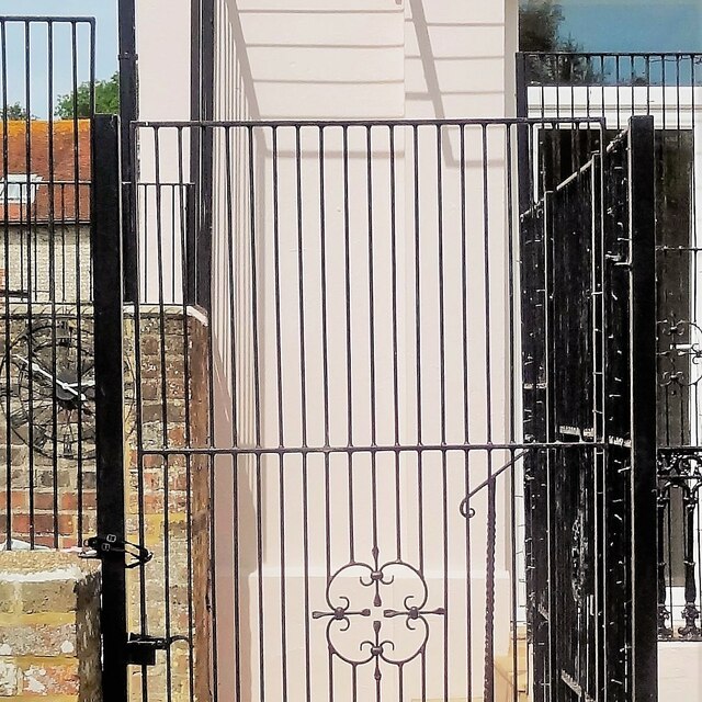
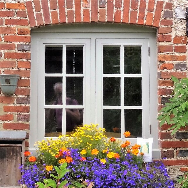
The village is named after the clay deposits found in the area, which have been historically used for pottery and brick making. This rich history can still be seen in the traditional red-brick buildings that line the streets, offering a glimpse into the village's past.
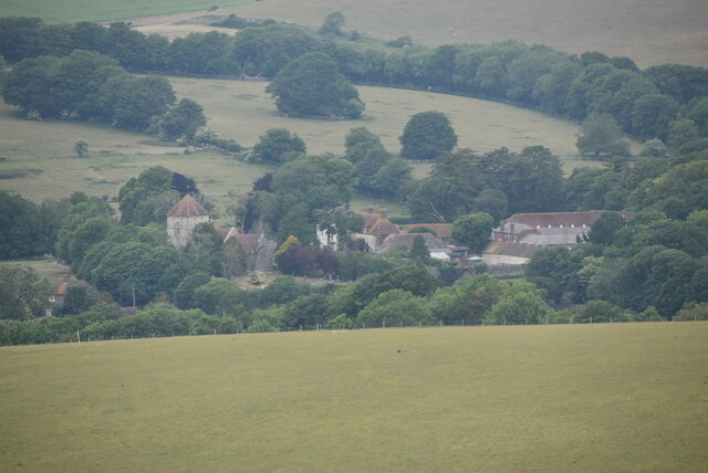
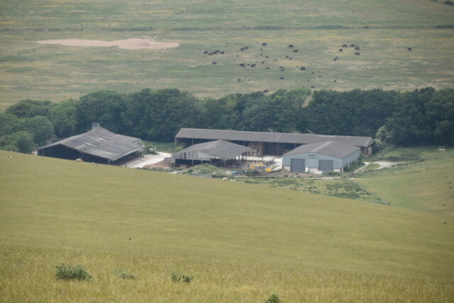
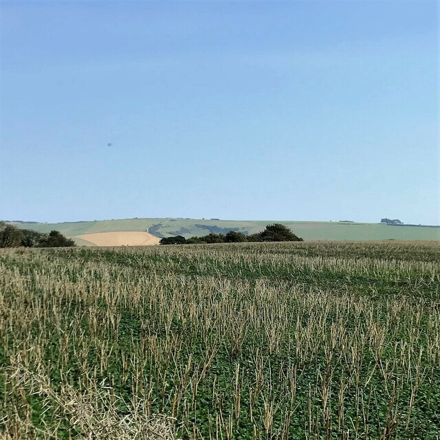
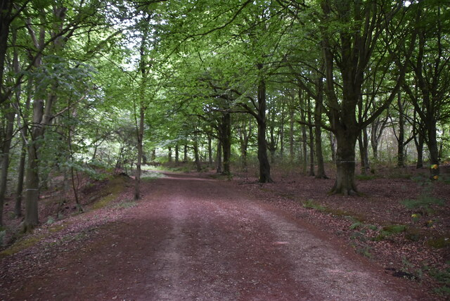
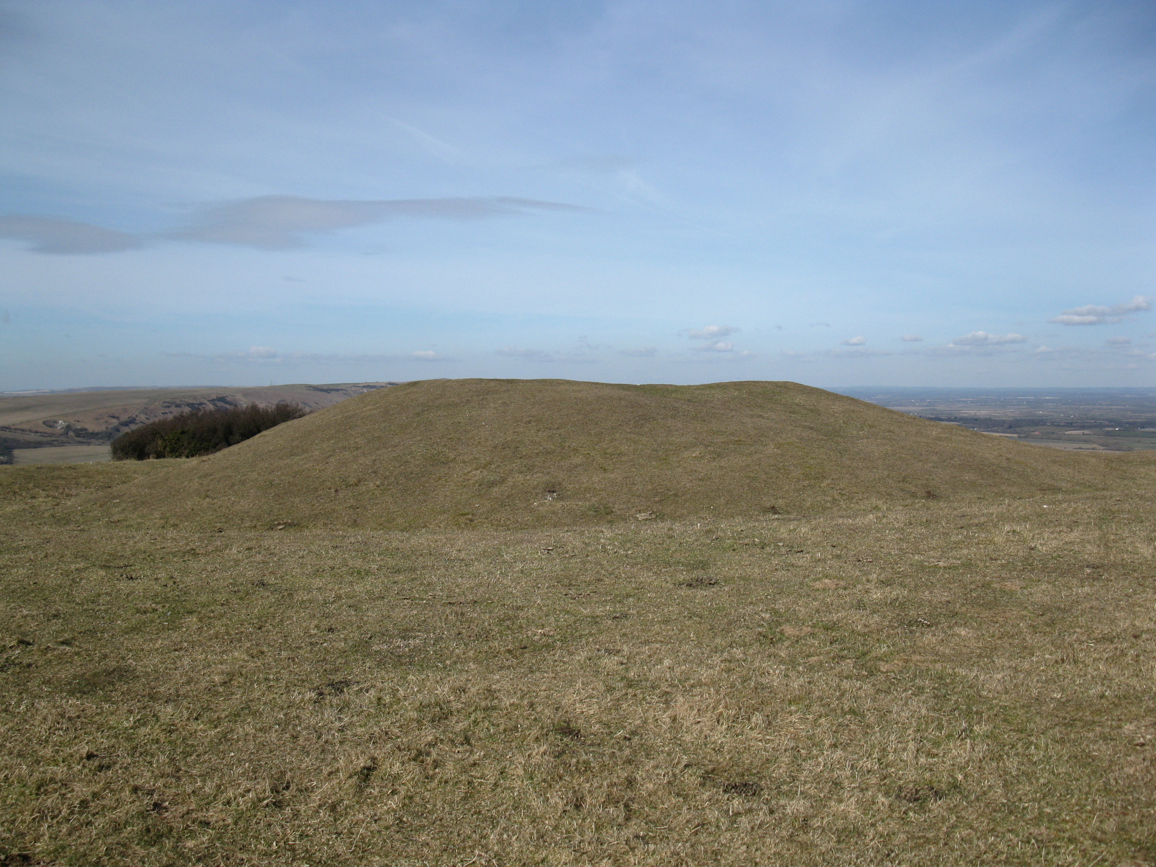
One of the highlights of Clay Bottom is its stunning landscape. The valley provides a breathtaking backdrop, with meandering streams, charming meadows, and ancient woodlands. The area is a haven for nature enthusiasts, attracting hikers, birdwatchers, and wildlife lovers.
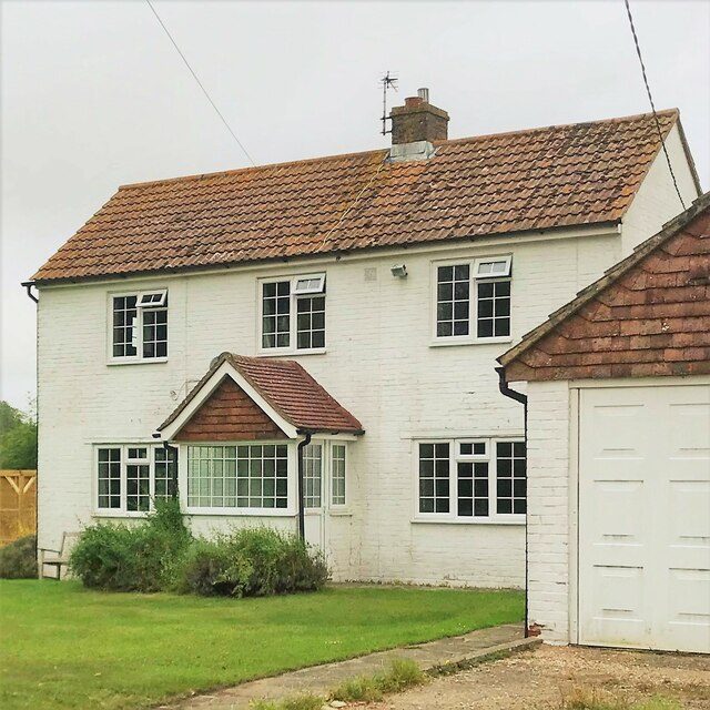
The village itself exudes a quaint charm, with narrow winding streets and quaint cottages adorned with vibrant flower gardens. The local community takes pride in maintaining the village's character, and visitors can expect a warm and friendly welcome.
Despite its rural setting, Clay Bottom is not isolated from modern amenities. The village boasts a range of amenities, including a village shop, a post office, and a cozy country pub serving delicious local cuisine. Additionally, the nearby town of Sussex provides access to a wider range of facilities, including schools, supermarkets, and medical services.
For those seeking a peaceful and picturesque retreat in the heart of the Sussex countryside, Clay Bottom offers a delightful blend of natural beauty, history, and rural charm.
If you have any feedback on the listing, please let us know in the comments section below.
Clay Bottom Images
Images are sourced within 2km of 50.791217/0.19149835 or Grid Reference TQ5401. Thanks to Geograph Open Source API. All images are credited.


Clay Bottom is located at Grid Ref: TQ5401 (Lat: 50.791217, Lng: 0.19149835)
Administrative County: East Sussex
District: Wealden
Police Authority: Sussex
What 3 Words
///includes.gripes.televise. Near Friston, East Sussex
Nearby Locations
Related Wikis

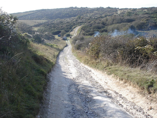
Lullington Heath
Lullington Heath is a 72.7-hectare (180-acre) biological Site of Special Scientific Interest west of Eastbourne in East Sussex. It is a national nature...
Wilmington Downs
Wilmington Downs is a 209.8-hectare (518-acre) biological Site of Special Scientific Interest north-west of Eastbourne in East Sussex. The site includes...
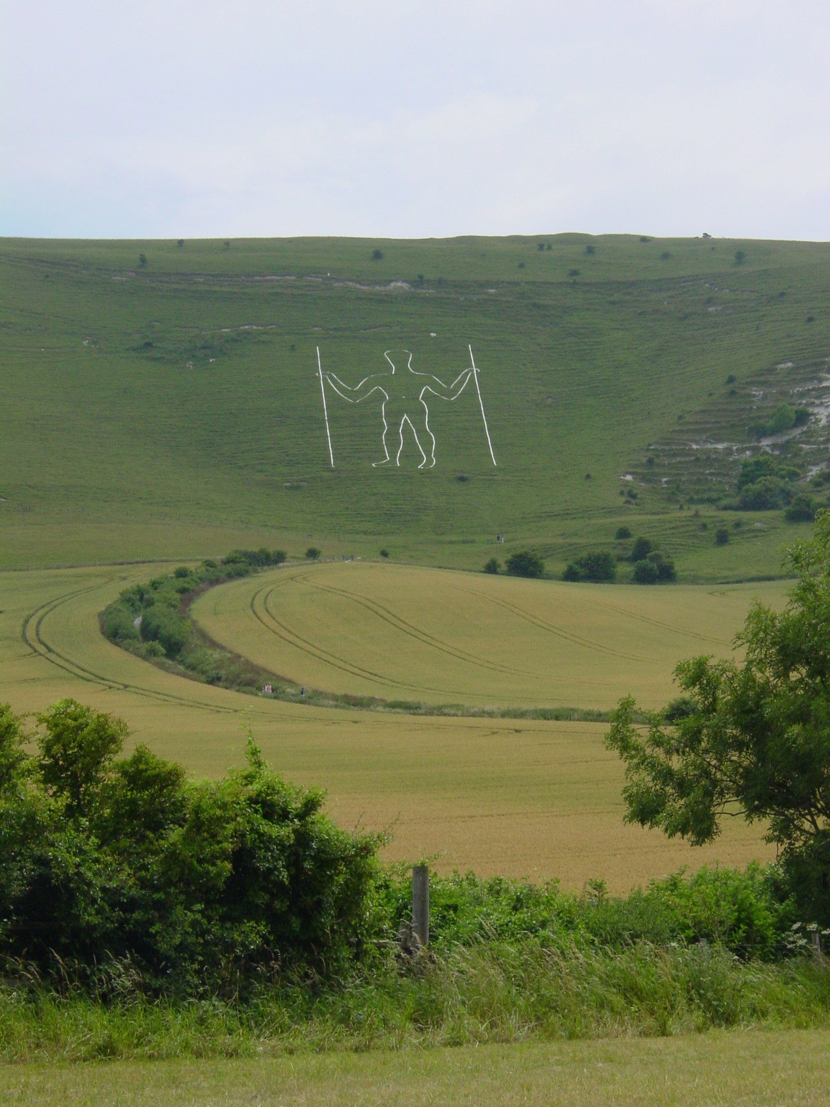
Long Man of Wilmington
The Long Man of Wilmington or Wilmington Giant is a hill figure on the steep slopes of Windover Hill near Wilmington, East Sussex, England. It is 6 miles...

Litlington, East Sussex
Litlington is a village and former civil parish, now in the parish of Cuckmere Valley, in the Wealden district, in the county of East Sussex, England....
Lullington, East Sussex
Lullington is a village and former civil parish, now in the parish of Cuckmere Valley, in the Wealden district, in the county of East Sussex, England....

Cuckmere Valley
Cuckmere Valley is a civil parish in the Wealden District of East Sussex, England. As its name suggests, the parish consists of a number of small settlements...
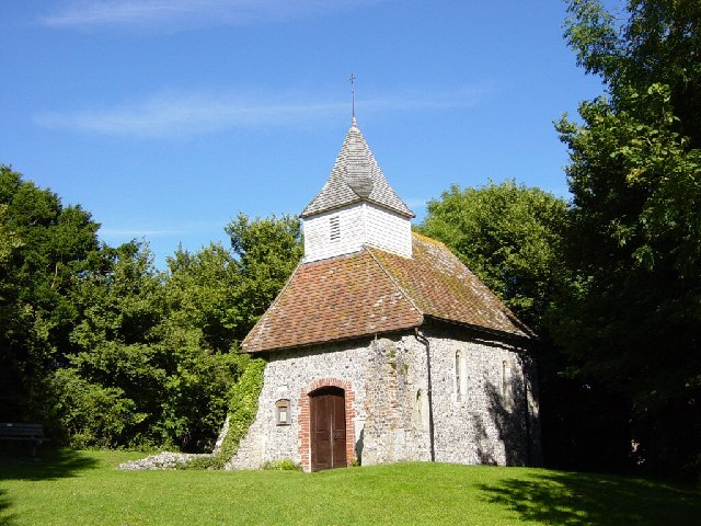
Lullington Church
Lullington Church, also known as the Church of the Good Shepherd, on the South Downs at Lullington in East Sussex is one of several churches claimed to...

Church of St Peter ad Vincula, Folkington
The Church of St Peter ad Vincula, Folkington, East Sussex is a parish church dating from the 13th century. Built of flint and rubble, it is a Grade I...
Nearby Amenities
Located within 500m of 50.791217,0.19149835Have you been to Clay Bottom?
Leave your review of Clay Bottom below (or comments, questions and feedback).