France Bottom
Valley in Sussex Wealden
England
France Bottom
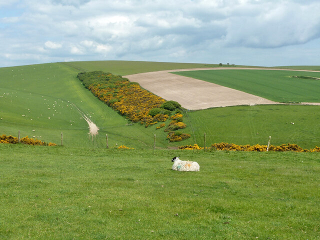
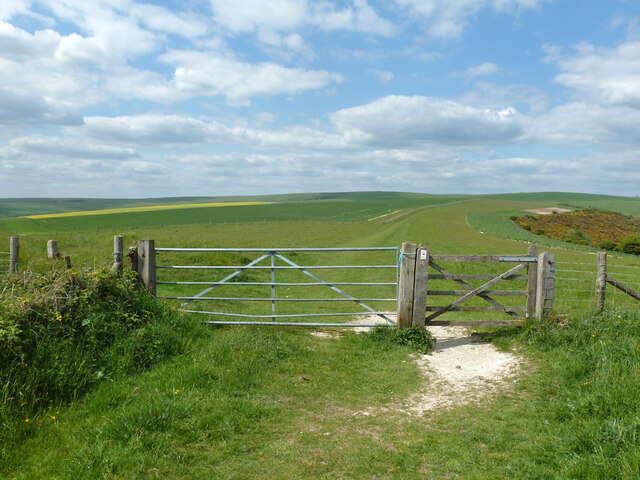
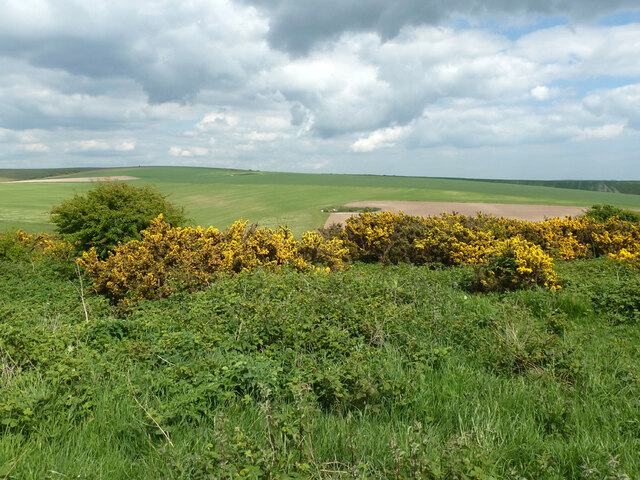
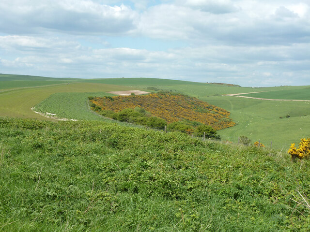
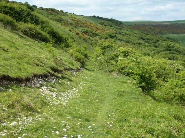
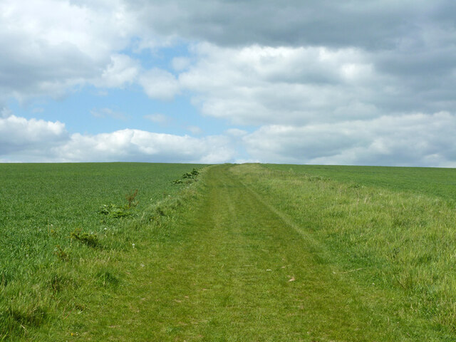
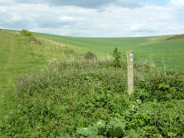
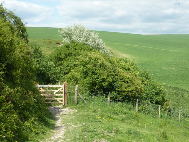
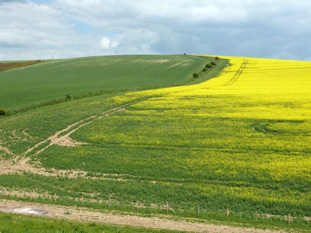
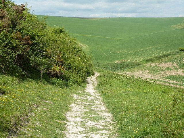
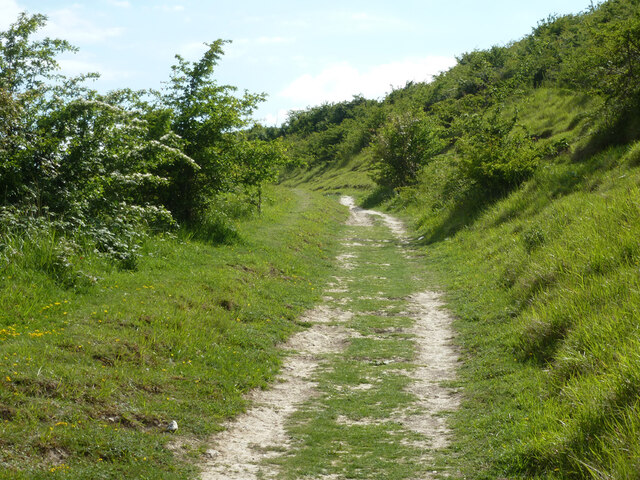
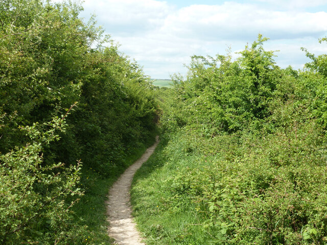
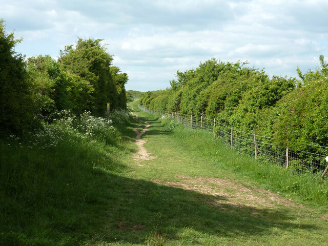
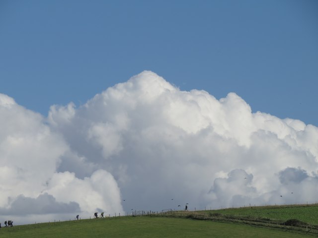
France Bottom is a picturesque valley located in the county of Sussex, in the South East of England. The valley is nestled between rolling hills and lush green countryside, making it a popular destination for nature lovers and hikers. The area is known for its scenic beauty, with meandering streams, woodlands, and wildflower meadows dotting the landscape.
France Bottom is home to a variety of wildlife, including deer, rabbits, and a wide range of bird species. The valley is also known for its rich history, with several ancient ruins and archaeological sites scattered throughout the area. Visitors can explore these historic landmarks while enjoying the peaceful and serene atmosphere of the valley.
The village of France Bottom itself is small and charming, with traditional cottages and a quaint village pub. The locals are friendly and welcoming, making visitors feel right at home. Overall, France Bottom is a hidden gem in Sussex, offering a tranquil escape from the hustle and bustle of everyday life.
If you have any feedback on the listing, please let us know in the comments section below.
France Bottom Images
Images are sourced within 2km of 50.810379/0.13692096 or Grid Reference TQ5003. Thanks to Geograph Open Source API. All images are credited.


France Bottom is located at Grid Ref: TQ5003 (Lat: 50.810379, Lng: 0.13692096)
Administrative County: East Sussex
District: Wealden
Police Authority: Sussex
What 3 Words
///motion.fanfare.negotiators. Near Seaford, East Sussex
Nearby Locations
Related Wikis

Long Burgh Long Barrow
Long Burgh Long Barrow, is an unchambered long barrow located near to the village of Alfriston in the south-eastern English county of East Sussex. Probably...

Alfriston
Alfriston is a village and civil parish in the East Sussex district of Wealden, England. The village lies in the valley of the River Cuckmere, about four...

Alfriston Windmill
Alfriston Windmill is a tower mill at Alfriston, Sussex, England which has been converted to residential accommodation. == History == Alfriston Windmill...
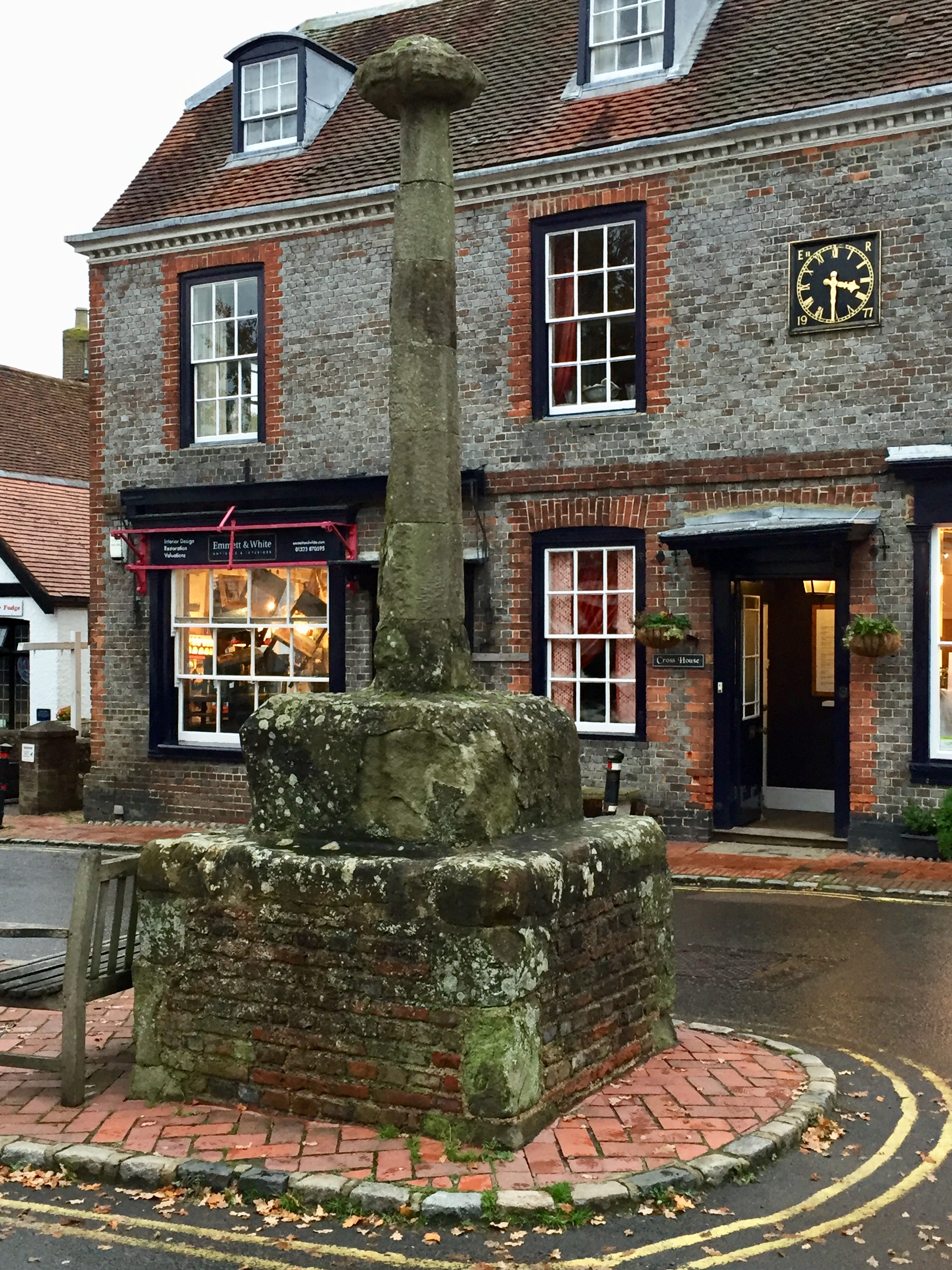
Alfriston Market Cross
Alfriston Market Cross is the only remaining market cross in Sussex, other than the elaborate market cross in Chichester. It is formed of a stone base...
Nearby Amenities
Located within 500m of 50.810379,0.13692096Have you been to France Bottom?
Leave your review of France Bottom below (or comments, questions and feedback).