Jerry's Bottom

Valley in Sussex Wealden

England

Jerry's Bottom

Bridleway on Heighton Hill Bridleway South Heighton 6c towards Bopeep Bostal.
Bridleway on Heighton Hill Credit: Robin Webster

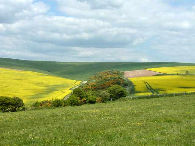
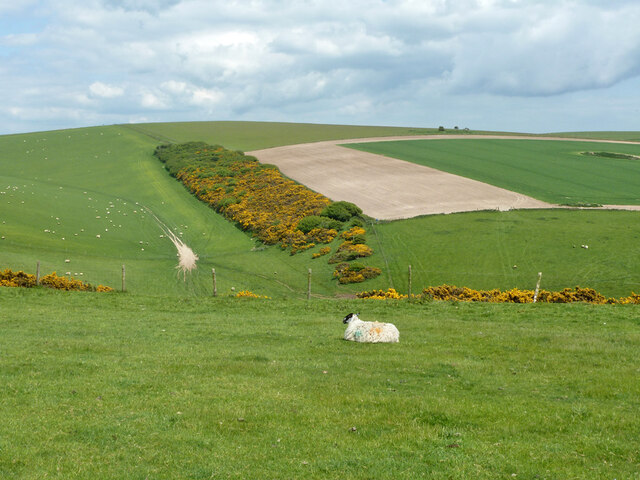
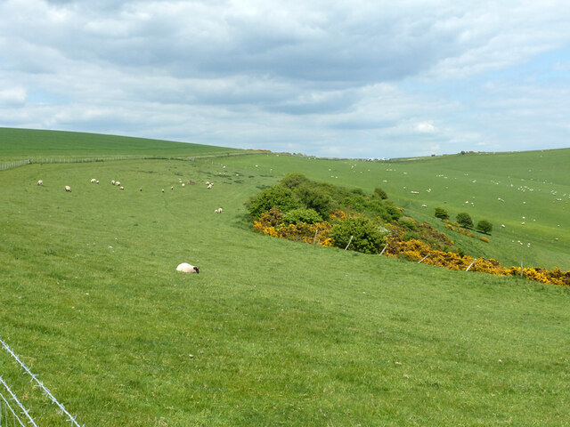
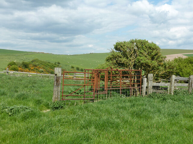
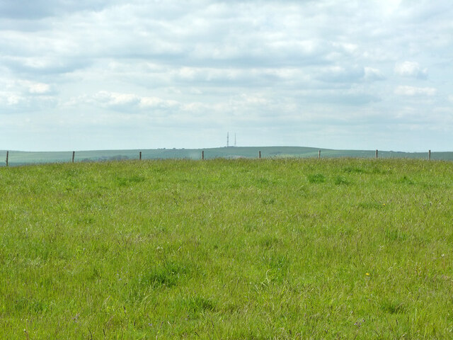
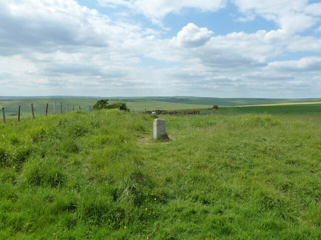
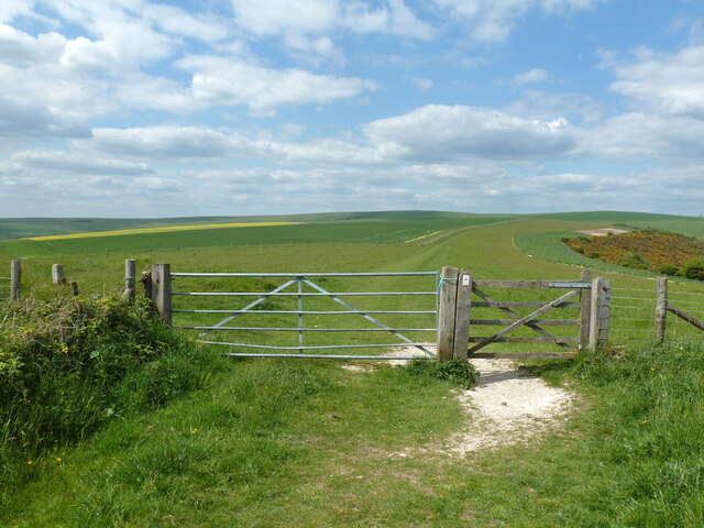
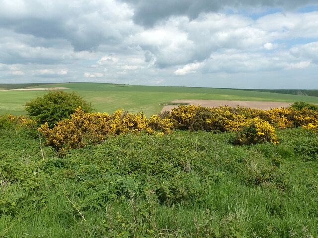
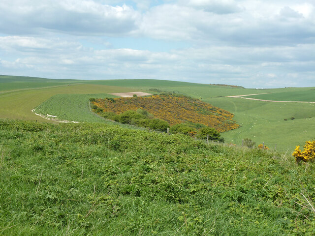
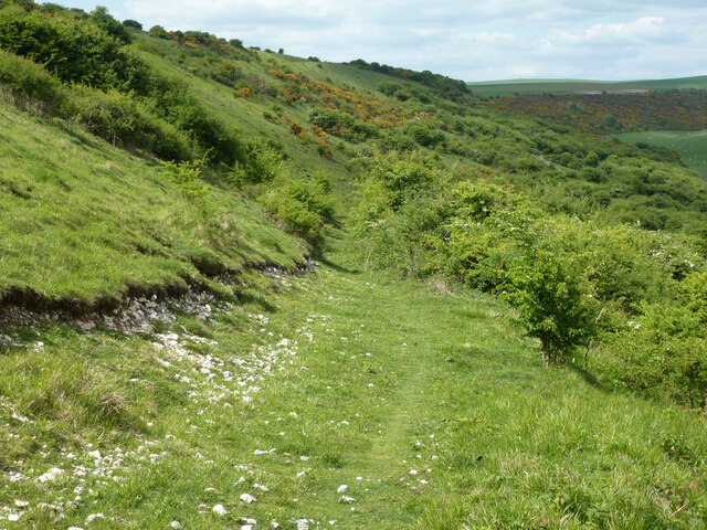
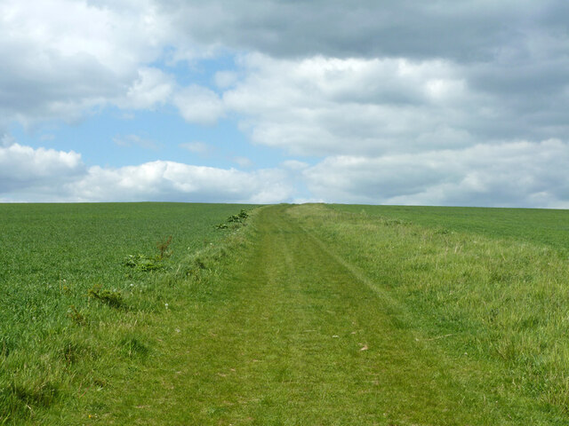
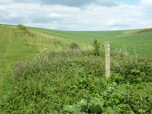
Jerry's Bottom is a small village located in the Sussex Valley region of England. Situated in the South Downs National Park, it is surrounded by picturesque countryside, offering stunning views and a peaceful atmosphere. The village is known for its charming and traditional character, with a population of around 200 residents.

The origin of the village's name, Jerry's Bottom, is believed to be derived from a combination of the name Jerry, a common nickname for Jeremiah, and 'Bottom,' which refers to the low-lying land in the valley. This name is said to have been given by early settlers who established the village in the 18th century.

The main feature of Jerry's Bottom is its quaint village center, where a collection of historic cottages and buildings can be found. These structures showcase the traditional Sussex architectural style, with their characteristic thatched roofs and timber frames.

The village is home to a few amenities, including a local pub, a small grocery store, and a post office. Additionally, Jerry's Bottom offers several walking trails that allow residents and visitors to explore the beautiful surrounding countryside. Nature enthusiasts can enjoy the abundance of wildlife and plant species in the area, making it an ideal spot for birdwatching and hiking.

Overall, Jerry's Bottom, Sussex (Valley) presents a quiet and idyllic setting, perfect for individuals seeking a peaceful retreat in the heart of the English countryside.

If you have any feedback on the listing, please let us know in the comments section below.

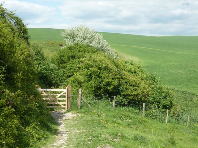
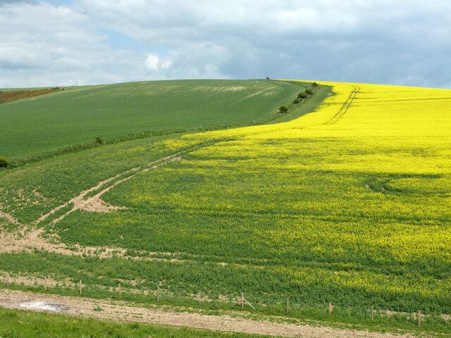
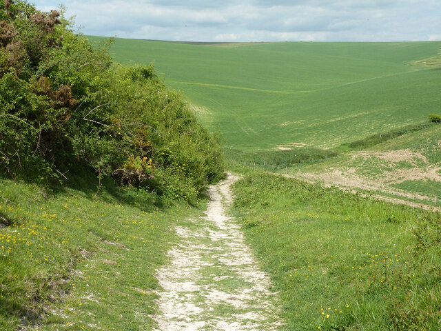
Jerry's Bottom Images

Images are sourced within 2km of 50.818913/0.12220434 or Grid Reference TQ4904. Thanks to Geograph Open Source API. All images are credited.

Bridleway on Heighton Hill Bridleway South Heighton 6c towards Bopeep Bostal.
Bridleway on Heighton Hill
Bridleway South Heighton 6c towards Bopeep Bostal.
Bridleway descending Heighton Hill Bridleway South Heighton 6c towards Bopeep Bostal.
Bridleway descending Heighton Hill
Bridleway South Heighton 6c towards Bopeep Bostal.
Tilton Bottom
Tilton Bottom
A raped bridleway Public bridleway Alciston 15c, which becomes South Heighton 6c at the parish boundary at the end of the rape.
A raped bridleway
Public bridleway Alciston 15c, which becomes South Heighton 6c at the parish boundary at the end of the rape.
View up Bostal Bottom The bottom curves around to the left, a continuation of Blackstone Bottom, down below to the right.
View up Bostal Bottom
The bottom curves around to the left, a continuation of Blackstone Bottom, down below to the right.
View towards Bopeep car park Bopeep Bostal reaches the crest of the downs at the low point, where there is a small car park.
View towards Bopeep car park
Bopeep Bostal reaches the crest of the downs at the low point, where there is a small car park.
Derelict cattle crush The cattle were driven along an alley from the right, and trapped by the neck by a lever operated gate in order to subject them to some indignity or the other. They were then released to the left. There were no cattle to be seen in this area, it is largely sheep and arable now.
Derelict cattle crush
The cattle were driven along an alley from the right, and trapped by the neck by a lever operated gate in order to subject them to some indignity or the other. They were then released to the left. There were no cattle to be seen in this area, it is largely sheep and arable now.
Slight earthwork near bridleway As usual, hard to photograph unless a low sun gives good shadows, not the case here. This seems to be one of two bowl barrows 'reduced in height by ploughing' so 'no more than 0.3 m high' which are listed as Ancient Monuments hereabouts.
Slight earthwork near bridleway
As usual, hard to photograph unless a low sun gives good shadows, not the case here. This seems to be one of two bowl barrows 'reduced in height by ploughing' so 'no more than 0.3 m high' which are listed as Ancient Monuments hereabouts.
Five Lords' Burgh with two boundary stones A bowl barrow, a scheduled Ancient Monument. It is currently the meeting point of three parishes, South Heighton, Alciston and Alfriston. In Victorian times there were four parishes; Denton has been absorbed into South Heighton. Historic England relay the story that there were once five parishes, hence the name.  The near stone has 'L G' or possibly 'L C' on it.
Five Lords' Burgh with two boundary stones
A bowl barrow, a scheduled Ancient Monument. It is currently the meeting point of three parishes, South Heighton, Alciston and Alfriston. In Victorian times there were four parishes; Denton has been absorbed into South Heighton. Historic England relay the story that there were once five parishes, hence the name. The near stone has 'L G' or possibly 'L C' on it.
Bridleway gate, Five Lords' Burgh Five Lords' Burgh, a not very impressive barrow, is just to the left.
Bridleway gate, Five Lords' Burgh
Five Lords' Burgh, a not very impressive barrow, is just to the left.
View east from near Five Lords' Burgh
View north from near Five Lords' Burgh
Path down west side of Blackstone Bottom Not a public footpath, but the whole slope is public access land.
Path down west side of Blackstone Bottom
Not a public footpath, but the whole slope is public access land.
Greenway - bridleway Alfriston 26
Bridleway junction, Blackstone Bottom Straight on, on the left, bridleway Alfriston 26 to Alciston and Selmeston via Bopeep Bostal; right Alfriston 14d to Alfriston.
Bridleway junction, Blackstone Bottom
Straight on, on the left, bridleway Alfriston 26 to Alciston and Selmeston via Bopeep Bostal; right Alfriston 14d to Alfriston.
Gate on bridleway Alfriston 14e
Hill between Blackstone and France Bottoms No apparent mapped name.
Hill between Blackstone and France Bottoms
No apparent mapped name.
Greenway descending into Blackstone Bottom Over this part, bridleway Alfriston 14e.
Greenway descending into Blackstone Bottom
Over this part, bridleway Alfriston 14e.
Show me another place!

Jerry's Bottom is located at Grid Ref: TQ4904 (Lat: 50.818913, Lng: 0.12220434)

Administrative County: East Sussex

District: Wealden

Police Authority: Sussex

What 3 Words

///prude.depravity.scatters. Near Newhaven, East Sussex

Related Wikis

Firle Hill Climb

Firle Hill Climb is a disused hillclimbing course near Lewes, East Sussex, England, sometimes referred to as Bo Peep Hill Climb. The event was celebrated...

Long Burgh Long Barrow

Long Burgh Long Barrow, is an unchambered long barrow located near to the village of Alfriston in the south-eastern English county of East Sussex. Probably...

Alciston

Alciston is a village and civil parish in the Wealden district of East Sussex, England. It is inland, just off the A27 road, about ten miles (16 km) north...

Firle Beacon

Firle Beacon is a hill in the South Downs of southern England. It is 217 metres high and is a Marilyn. It commands a far-reaching view. When the prevailing...

Nearby Amenities

Located within 500m of 50.818913,0.12220434
Barrier: stile
Lat/Long: 50.8160285/0.1234881
Bostal Hill
Ele: 191
Natural: peak
Lat/Long: 50.8230903/0.1237969
The data included in this document is from www.openstreetmap.org. The data is made available under ODbL.

Have you been to Jerry's Bottom?

Leave your review of Jerry's Bottom below (or comments, questions and feedback).