New Pond

Lake, Pool, Pond, Freshwater Marsh in Sussex Wealden

England

New Pond

View south from Berwick Church New Barn on the coach road in centre, Bopeep chalk pits top right.
View south from Berwick Church Credit: David M Clark

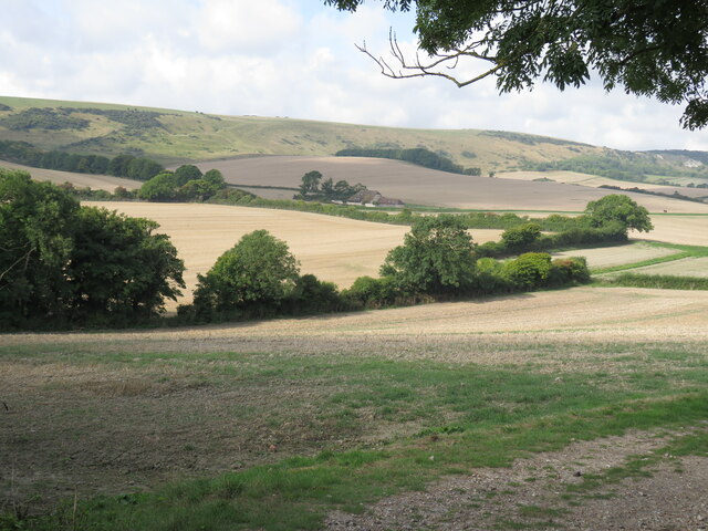
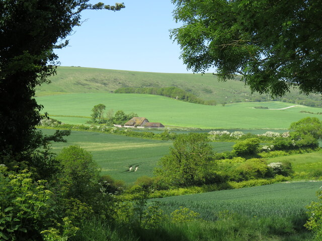
New Pond is a picturesque freshwater body located in the county of Sussex, England. It is classified as a lake, pool, pond, and freshwater marsh due to its unique characteristics and diverse ecosystem. Covering an area of approximately 10 acres, the pond is nestled amidst a serene landscape, offering visitors a tranquil setting to appreciate nature's beauty.

The pond is fed by several small streams and springs, ensuring a constant flow of fresh water throughout the year. It boasts crystal-clear waters, making it an ideal habitat for a wide range of aquatic plants and animals. The surrounding marshland provides a natural filtration system, further enhancing the water quality and fostering the growth of various plant species, including water lilies and reeds.

New Pond is home to a rich biodiversity, attracting a plethora of bird species, including herons, swans, ducks, and various songbirds. Birdwatchers flock to the area to observe these feathered inhabitants in their natural habitat. Additionally, the pond supports a diverse fish population, with species such as carp, roach, and perch being commonly found.

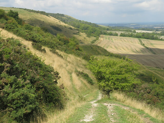
Visitors to New Pond can enjoy a leisurely stroll along the well-maintained footpath that encircles the water's edge, providing breathtaking views of the surrounding landscape. The area is also popular for picnicking, fishing, and wildlife photography. Its peaceful ambiance and natural beauty make it a favored spot for locals and tourists alike, seeking solace or a moment of reflection.

In summary, New Pond in Sussex is a small but enchanting freshwater body encompassing a diverse ecosystem of marshland, pond, and lake. With its clear waters, abundant plant and animal life, and scenic surroundings, it offers a captivating experience for nature enthusiasts and those seeking a serene retreat.

If you have any feedback on the listing, please let us know in the comments section below.
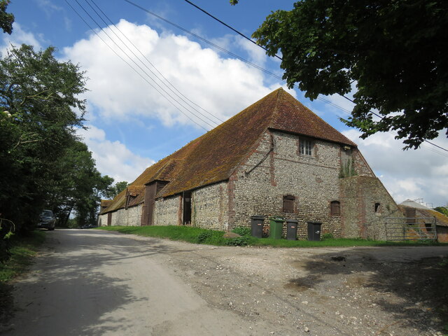
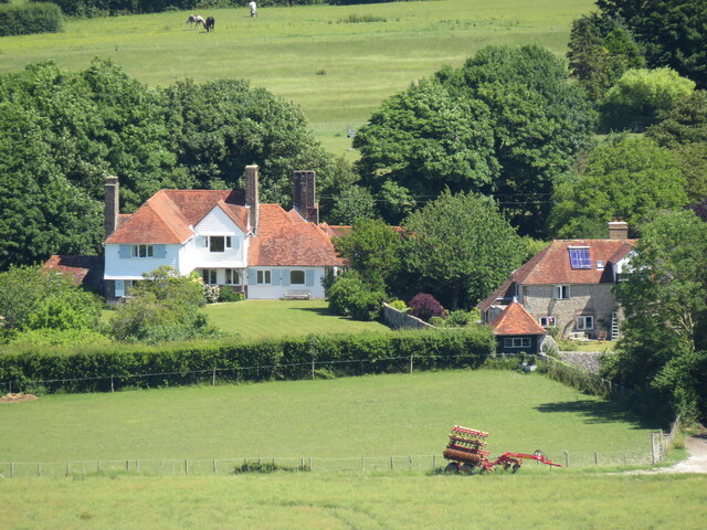
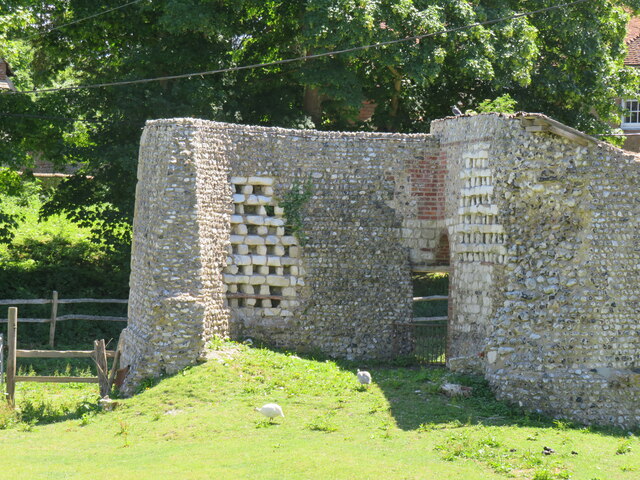
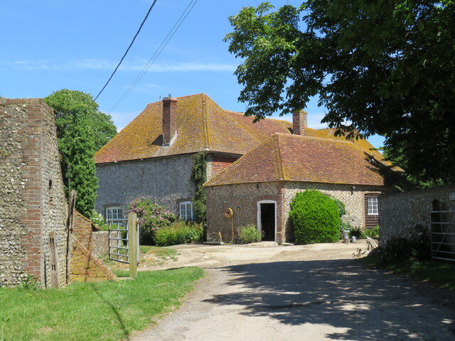
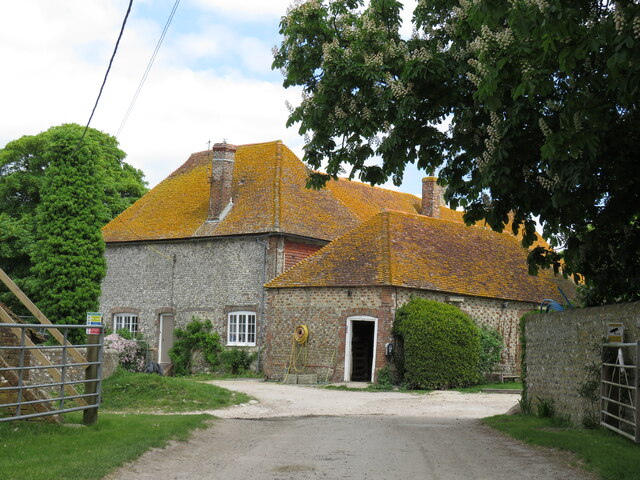
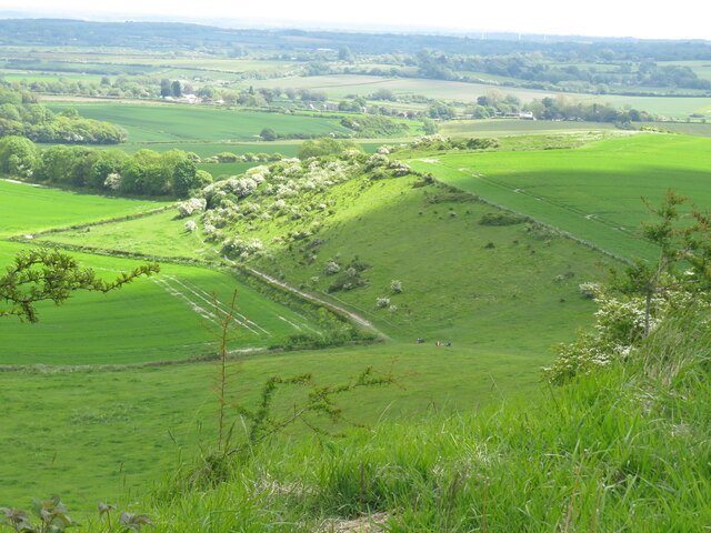
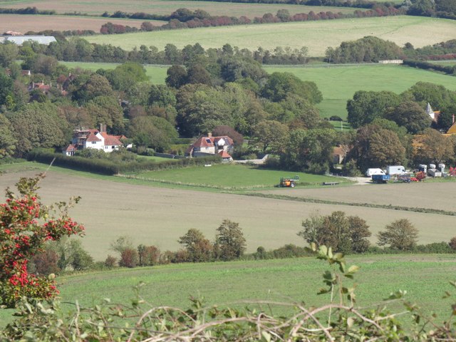
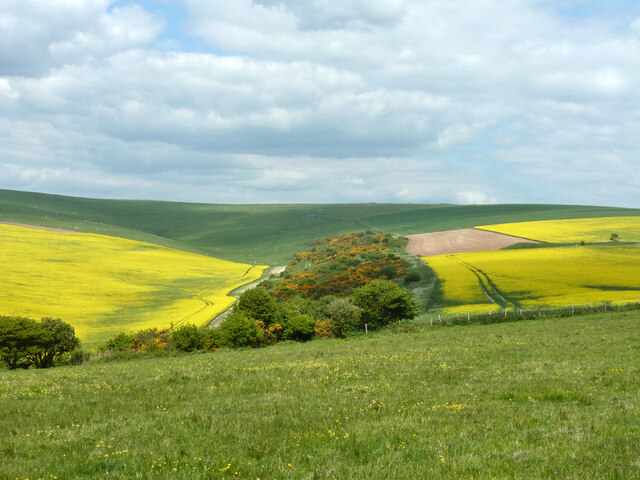
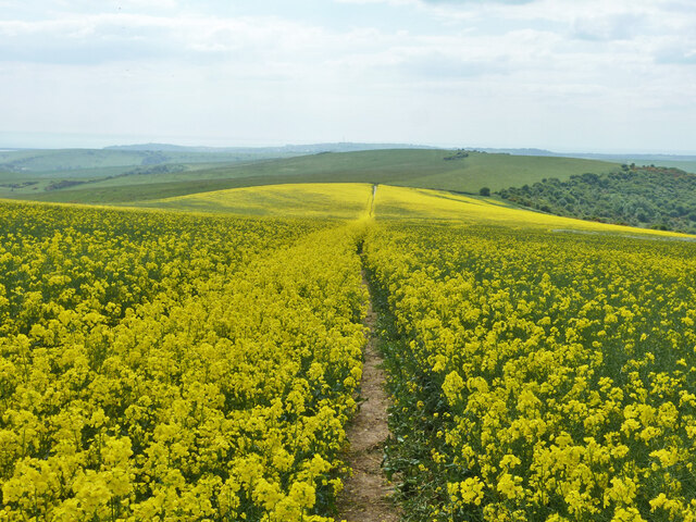
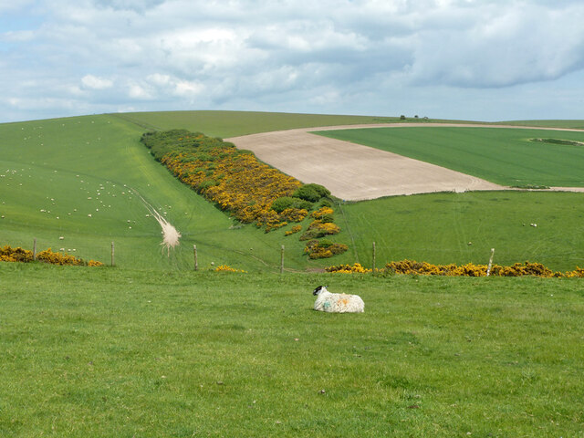
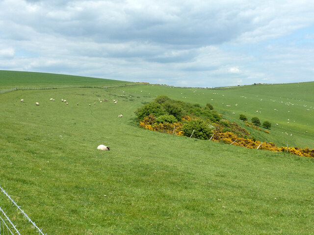
New Pond Images

Images are sourced within 2km of 50.822616/0.12481441 or Grid Reference TQ4904. Thanks to Geograph Open Source API. All images are credited.

View south from Berwick Church New Barn on the coach road in centre, Bopeep chalk pits top right.
View south from Berwick Church
New Barn on the coach road in centre, Bopeep chalk pits top right.
Bridleway above New Barn Bridleway from Berwick Church crosses the Old Coach Road and climbs fairly gently past old chalk workings here, before joining the South Downs Way.
Bridleway above New Barn
Bridleway from Berwick Church crosses the Old Coach Road and climbs fairly gently past old chalk workings here, before joining the South Downs Way.
Sunken lane above Alciston This is only recorded on the Explorer map as a public footpath crossing what appears to be a large field. In fact it is an old cartway which, with the erosive power of rainwater, has become a deep sunken lane, and is clearly still used by horse-riders.
Sunken lane above Alciston
This is only recorded on the Explorer map as a public footpath crossing what appears to be a large field. In fact it is an old cartway which, with the erosive power of rainwater, has become a deep sunken lane, and is clearly still used by horse-riders.
Horse and carriage on the old coach road The old coach road from Firle to Alfriston provides an all-weather route for horse-riders, cyclists and walkers. It is classed as a byway - and is enjoying an upgrade.
Horse and carriage on the old coach road
The old coach road from Firle to Alfriston provides an all-weather route for horse-riders, cyclists and walkers. It is classed as a byway - and is enjoying an upgrade.
Alciston's tithe barn The 16th-century barn is more than 50 metres long, and is part of the Alciston Court House farm complex.
Alciston's tithe barn
The 16th-century barn is more than 50 metres long, and is part of the Alciston Court House farm complex.
Alciston from Bostal path Village in the trees - seen here from one of two paths that drop down to the village from the South Downs Way.
Alciston from Bostal path
Village in the trees - seen here from one of two paths that drop down to the village from the South Downs Way.
Dovecots at Alciston Court Farm The map claims them as ruins, but they look pretty convincing.
Dovecots at Alciston Court Farm
The map claims them as ruins, but they look pretty convincing.
Alciston Court Farm Farming much of Alciston as tenants of the Gage family of Firle.
Alciston Court Farm
Farming much of Alciston as tenants of the Gage family of Firle.
Black Bryony - Dioscorea communis
New Barn from Berwick Church New Barn, now converted into a home, sits alongside the Old Coach Road that runs from Firle to Alfriston.
New Barn from Berwick Church
New Barn, now converted into a home, sits alongside the Old Coach Road that runs from Firle to Alfriston.
Alciston Court Farm Much of the land in Alciston  forms part of the Court Farm.
Alciston Court Farm
Much of the land in Alciston forms part of the Court Farm.
View from Berwick Bostal path The path climbs steadily from New Barn, past old chalk workings,  to reach the South Downs Way, offering fine views back, with Drusillas in the far distance.
View from Berwick Bostal path
The path climbs steadily from New Barn, past old chalk workings, to reach the South Downs Way, offering fine views back, with Drusillas in the far distance.
Alciston from Bopeep Bostal Alciston village, part of the Firle estate, seen from the car park on Bopeep Bostal.
Alciston from Bopeep Bostal
Alciston village, part of the Firle estate, seen from the car park on Bopeep Bostal.
Bridleway descending Heighton Hill Bridleway South Heighton 6c towards Bopeep Bostal.
Bridleway descending Heighton Hill
Bridleway South Heighton 6c towards Bopeep Bostal.
Tilton Bottom
Tilton Bottom
A raped bridleway Public bridleway Alciston 15c, which becomes South Heighton 6c at the parish boundary at the end of the rape.
A raped bridleway
Public bridleway Alciston 15c, which becomes South Heighton 6c at the parish boundary at the end of the rape.
View up Bostal Bottom The bottom curves around to the left, a continuation of Blackstone Bottom, down below to the right.
View up Bostal Bottom
The bottom curves around to the left, a continuation of Blackstone Bottom, down below to the right.
View towards Bopeep car park Bopeep Bostal reaches the crest of the downs at the low point, where there is a small car park.
View towards Bopeep car park
Bopeep Bostal reaches the crest of the downs at the low point, where there is a small car park.
Show me another place!

New Pond is located at Grid Ref: TQ4904 (Lat: 50.822616, Lng: 0.12481441)

Administrative County: East Sussex

District: Wealden

Police Authority: Sussex

What 3 Words

///earplugs.deodorant.riddle. Near Newhaven, East Sussex

Related Wikis

Firle Hill Climb

Firle Hill Climb is a disused hillclimbing course near Lewes, East Sussex, England, sometimes referred to as Bo Peep Hill Climb. The event was celebrated...

Alciston

Alciston is a village and civil parish in the Wealden district of East Sussex, England. It is inland, just off the A27 road, about ten miles (16 km) north...

Long Burgh Long Barrow

Long Burgh Long Barrow, is an unchambered long barrow located near to the village of Alfriston in the south-eastern English county of East Sussex. Probably...

Berwick, East Sussex

Berwick (pronounced BUR-wik or, more recently, BERR-ik) is a village and civil parish in the Wealden district of East Sussex in England. The village...

Firle

Firle (; Sussex dialect: Furrel ) is a village and civil parish in the Lewes district of East Sussex, England. Firle refers to an old-English/Anglo-Saxon...

Firle Beacon

Firle Beacon is a hill in the South Downs of southern England. It is 217 metres high and is a Marilyn. It commands a far-reaching view. When the prevailing...

Selmeston

Selmeston is a village and civil parish in the Wealden District of East Sussex, England. It is located eight miles (13 km) east of Lewes, to the north...

Charleston Farmhouse

Charleston, in East Sussex, is a property associated with the Bloomsbury group, that is open to the public. It was the country home of Vanessa Bell and...

Nearby Amenities

Located within 500m of 50.822616,0.12481441
Bench
Backrest: yes
Material: wood
Seats: 4
Lat/Long: 50.8260515/0.1202698
Bench
Backrest: yes
Material: wood
Seats: 4
Lat/Long: 50.8259873/0.120341
Bench
Backrest: yes
Material: wood
Seats: 4
Lat/Long: 50.8258885/0.1204894
Bench
Backrest: yes
Material: wood
Seats: 4
Lat/Long: 50.8258345/0.1205666
Bostal Hill
Ele: 191
Natural: peak
Lat/Long: 50.8230903/0.1237969
The data included in this document is from www.openstreetmap.org. The data is made available under ODbL.

Have you been to New Pond?

Leave your review of New Pond below (or comments, questions and feedback).