Beacon Bottom
Valley in Sussex Lewes
England
Beacon Bottom

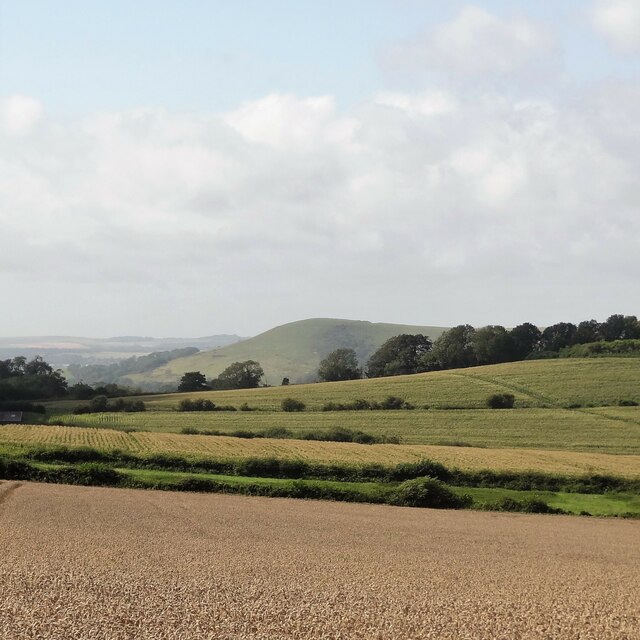
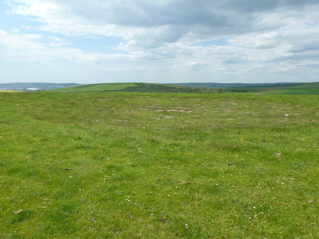
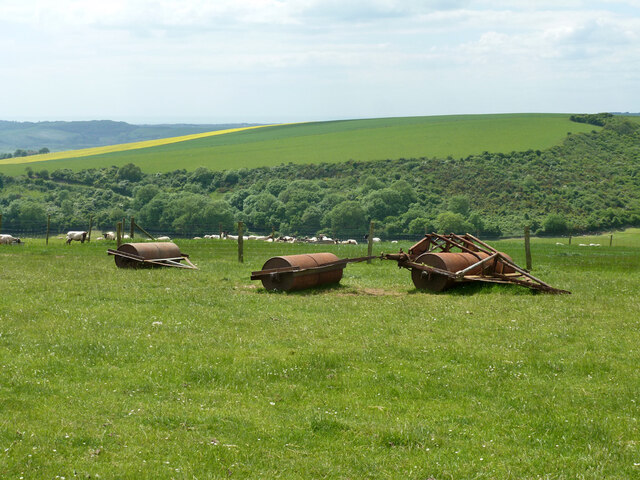
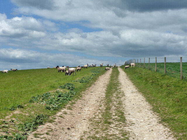
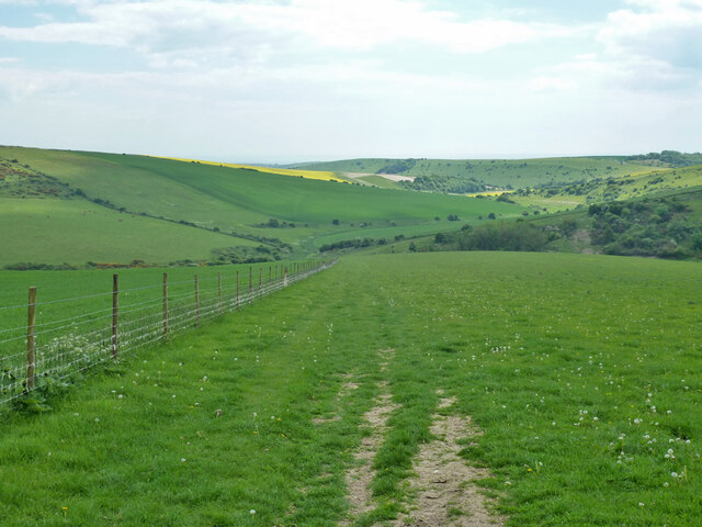
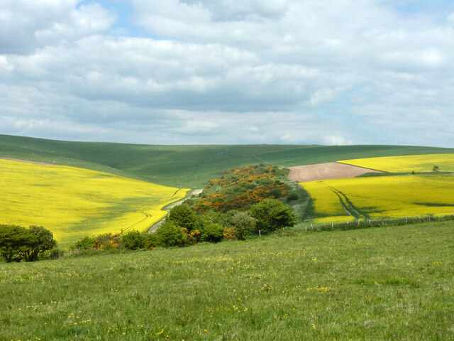
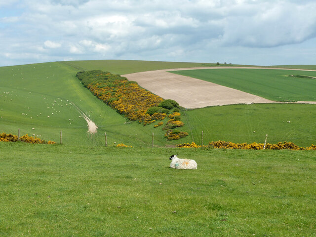
Beacon Bottom is a picturesque valley located in Sussex, England. Nestled amidst the rolling South Downs, it is renowned for its stunning natural beauty and tranquil atmosphere. The valley stretches for approximately 3 miles and is flanked by lush green hills on either side.
One of the main attractions of Beacon Bottom is its prominent beacon, which stands proudly at the top of the valley. This historical structure was once used as a signaling point during the Napoleonic Wars and has now become a popular landmark for visitors. From the beacon, one can enjoy breathtaking panoramic views of the surrounding countryside, including the sprawling farmland and distant villages.
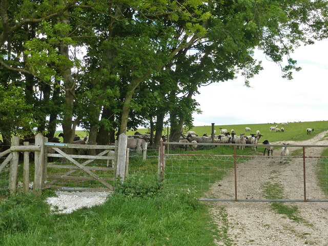
The valley itself is a haven for nature enthusiasts, offering a variety of flora and fauna. The rich biodiversity includes wildflowers, grasses, and a diverse range of bird species. The peaceful atmosphere and gentle babbling of the nearby stream make it an ideal spot for picnics, walks, or simply unwinding in nature.
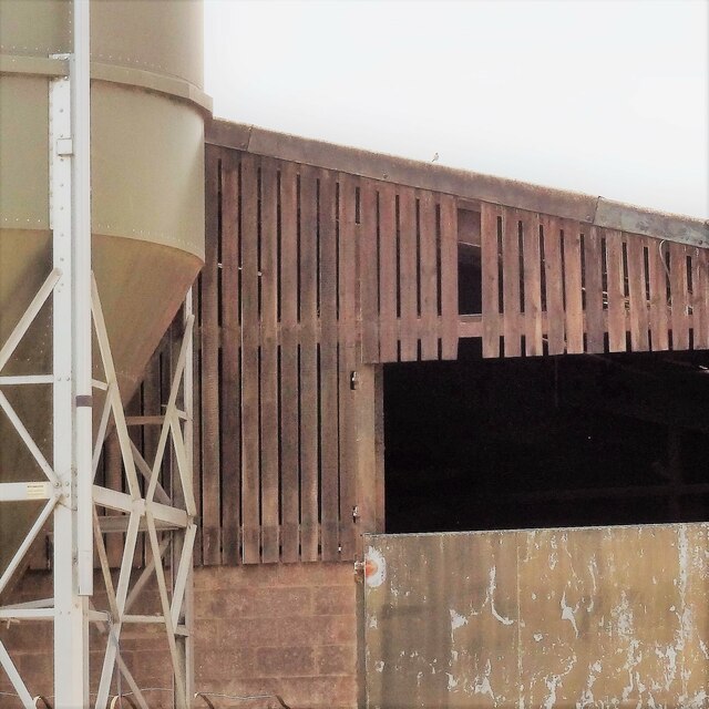
In addition to its natural beauty, Beacon Bottom is also home to several charming cottages and farmhouses. These quaint dwellings add to the overall charm of the area and provide a glimpse into the rural lifestyle of Sussex.
Overall, Beacon Bottom is a hidden gem in Sussex, offering a peaceful retreat from the hustle and bustle of daily life. Its combination of stunning views, rich biodiversity, and historical significance make it a must-visit destination for nature lovers and history enthusiasts alike.
If you have any feedback on the listing, please let us know in the comments section below.
Beacon Bottom Images
Images are sourced within 2km of 50.828972/0.10265189 or Grid Reference TQ4805. Thanks to Geograph Open Source API. All images are credited.


Beacon Bottom is located at Grid Ref: TQ4805 (Lat: 50.828972, Lng: 0.10265189)
Administrative County: East Sussex
District: Lewes
Police Authority: Sussex
What 3 Words
///splits.lorry.hazelnuts. Near Newhaven, East Sussex
Nearby Locations
Related Wikis
Firle Beacon
Firle Beacon is a hill in the South Downs of southern England. It is 217 metres high and is a Marilyn. It commands a far-reaching view. When the prevailing...

Firle Escarpment
Firle Escarpment is a 302.1-hectare (747-acre) biological Site of Special Scientific Interest north of Seaford in East Sussex.This is a long stretch of...

Firle Hill Climb
Firle Hill Climb is a disused hillclimbing course near Lewes, East Sussex, England, sometimes referred to as Bo Peep Hill Climb. The event was celebrated...

Charleston Farmhouse
Charleston, in East Sussex, is a property associated with the Bloomsbury group, that is open to the public. It was the country home of Vanessa Bell and...

Firle
Firle (; Sussex dialect: Furrel ) is a village and civil parish in the Lewes district of East Sussex, England. Firle refers to an old-English/Anglo-Saxon...
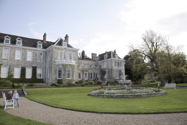
Firle Place
Firle Place is a Manor house in Firle, Sussex, United Kingdom. The Gage family have owned the land at Firle since acquiring it from the Levett family in...

Alciston
Alciston is a village and civil parish in the Wealden district of East Sussex, England. It is inland, just off the A27 road, about ten miles (16 km) north...

Selmeston
Selmeston is a village and civil parish in the Wealden District of East Sussex, England. It is located eight miles (13 km) east of Lewes, to the north...
Have you been to Beacon Bottom?
Leave your review of Beacon Bottom below (or comments, questions and feedback).