Barton

Settlement in Gloucestershire Gloucester

England

Barton

Gloucester - Folk Museum, Westgate St
Gloucester - Folk Museum, Westgate St Credit: Colin Park

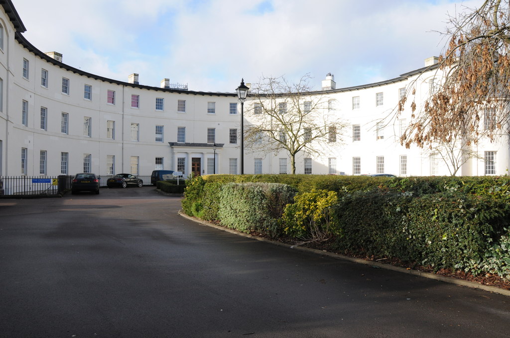
Barton is a small village located in the county of Gloucestershire, in the southwestern part of England. Situated near the River Severn, it is nestled in the scenic countryside, surrounded by rolling hills and picturesque landscapes. With a population of around 500 residents, Barton exudes a tranquil and idyllic charm.

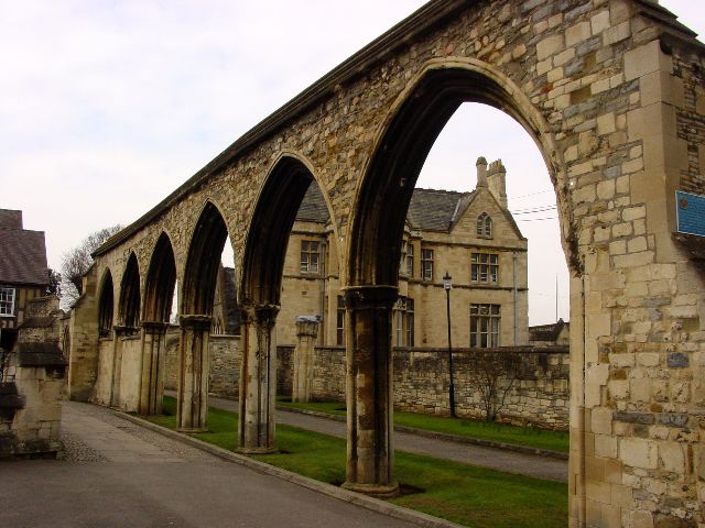
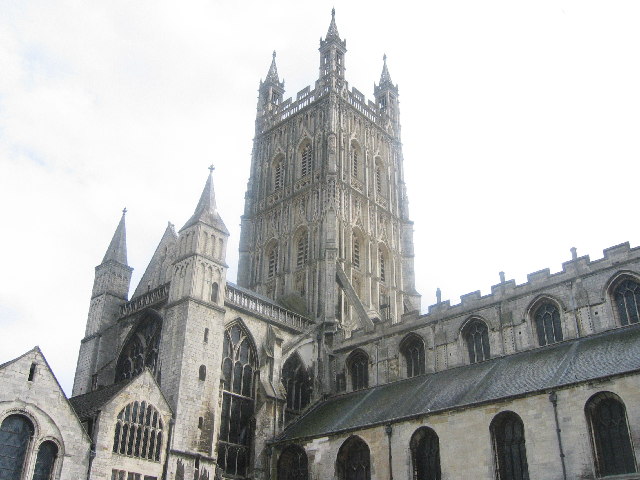
The village dates back to the medieval era, and its rich history is evident in its architecture and landmarks. The Barton Church, dedicated to St. James, is a prominent feature, showcasing stunning Norman and Gothic elements. The village also boasts an array of traditional stone cottages, adding to its quaint and timeless appeal.

Despite its small size, Barton offers a range of amenities to its residents and visitors. The village has a primary school, a village hall, and a local pub, which serves as a social hub for the community. Additionally, there are several walking and cycling paths that allow visitors to explore the stunning countryside.

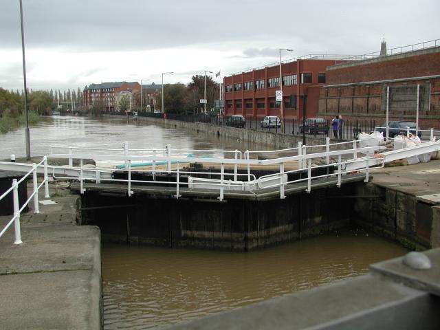
The surrounding area provides ample opportunities for outdoor activities and leisure pursuits. The River Severn is a popular spot for fishing and boating enthusiasts, while the nearby Cotswolds offer scenic hiking trails and charming villages to explore.

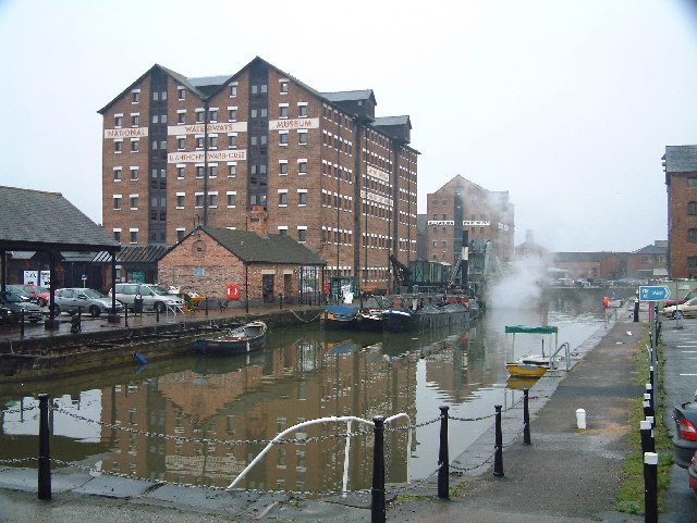
Barton's location also provides convenient access to larger towns and cities. Gloucester, the county's capital, is approximately 10 miles away, offering a wider range of amenities, shopping centers, and cultural attractions.

In summary, Barton is a small village in Gloucestershire that offers a peaceful and picturesque setting, steeped in history and surrounded by beautiful countryside.

If you have any feedback on the listing, please let us know in the comments section below.
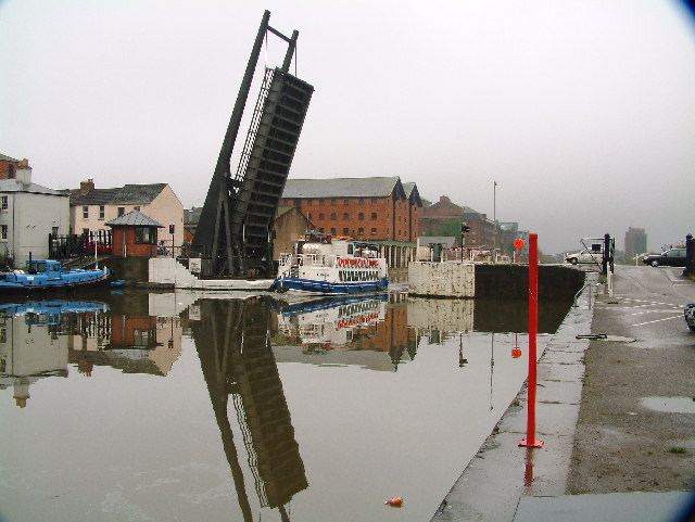
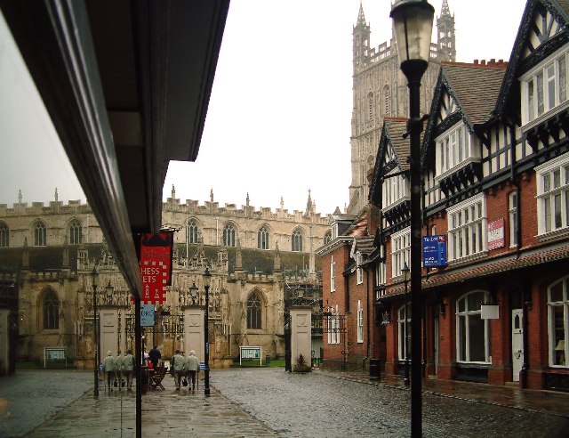
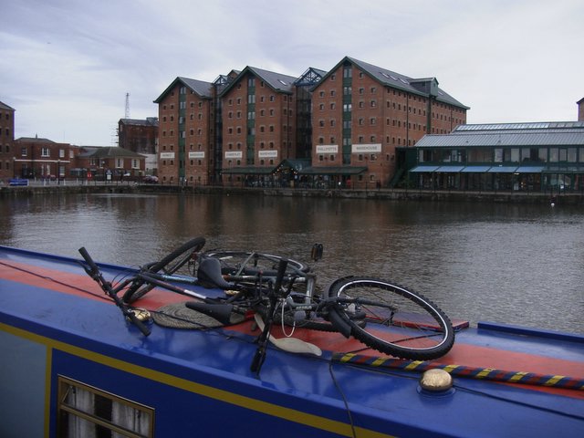
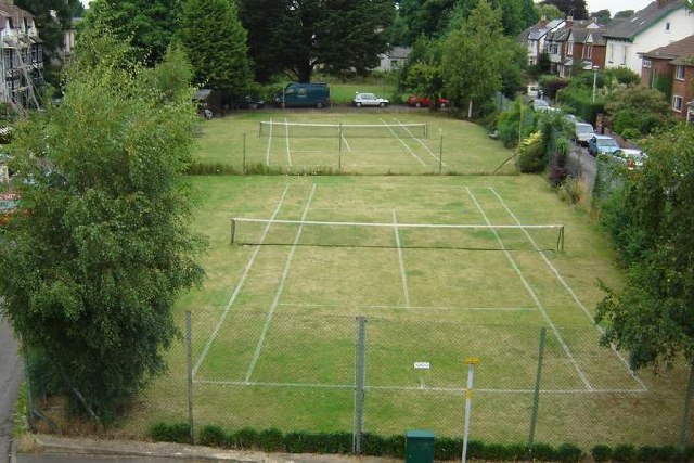
Barton Images

Images are sourced within 2km of 51.858438/-2.2329177 or Grid Reference SO8417. Thanks to Geograph Open Source API. All images are credited.

Gloucester - Folk Museum, Westgate St
Gloucester - Lock House & Gloucester Lock
Gloucester Docks - Steam crane on North Quay
Gloucester Docks - Sail Josefine
Arches near Gloucester Cathedral
The entrance to Gloucester Docks The River Severn is in flood and is in danger of getting higher than the water level in the lock into Gloucester Docks <span class="nowrap"><a title="http://www.gloucesterdocks.me.uk/gloucester/docks.htm" rel="nofollow ugc noopener" href="http://www.gloucesterdocks.me.uk/gloucester/docks.htm">Link</a><img style="margin-left:2px;" alt="External link" title="External link - shift click to open in new window" src="https://s1.geograph.org.uk/img/external.png" width="10" height="10"/></span> so defences have been erected! The Quay, normally visible on the right is submerged. On the other side of the road is Gloucester Gaol.
The entrance to Gloucester Docks
The River Severn is in flood and is in danger of getting higher than the water level in the lock into Gloucester Docks LinkExternal link so defences have been erected! The Quay, normally visible on the right is submerged. On the other side of the road is Gloucester Gaol.
Barnwood The Church of St Lawrence
Barnwood
The Church of St Lawrence
Barnwood Barnwood Avenue, complete with May Blossom
Barnwood
Barnwood Avenue, complete with May Blossom
Gloucester New Yard The machines looking like something out of "The War of the Worlds" are involved a major railway track renewal scheme
Gloucester New Yard
The machines looking like something out of "The War of the Worlds" are involved a major railway track renewal scheme
Gloucester Tramway Junction Looking across Tramway Junction and the site of the GWR loco sheds, with Gloucester station just on the left.
Gloucester Tramway Junction
Looking across Tramway Junction and the site of the GWR loco sheds, with Gloucester station just on the left.
Gloucester Docks National Waterways Museum. Steam dredger getting up a head of steam in the National waterways Museum
Gloucester Docks
National Waterways Museum. Steam dredger getting up a head of steam in the National waterways Museum
Gloucester Docks Gloucester Docks. Boat trip returning into the basin through a lifting road bridge.
Gloucester Docks
Gloucester Docks. Boat trip returning into the basin through a lifting road bridge.
Gloucester A view of the Cathedral from a narrow street
Gloucester
A view of the Cathedral from a narrow street
Gloucester Cathedral  Precinct This was Christmas Day 1969. The cathedral was closed for the day so the dancers were the only attraction for the kids in the party
Gloucester Cathedral Precinct
This was Christmas Day 1969. The cathedral was closed for the day so the dancers were the only attraction for the kids in the party
Docks at Gloucester Recently refurbished and turned into a tourist attraction with new waterfront flats.
Docks at Gloucester
Recently refurbished and turned into a tourist attraction with new waterfront flats.
Kingsholm Square Tennis Courts, Gloucester Just like Wimbledon!
Kingsholm Square Tennis Courts, Gloucester
Just like Wimbledon!
Gloucester Cathedral Taken from the Cloisters
Gloucester Cathedral
Taken from the Cloisters
High Orchard Derelict buildings in Gloucester's dockland, looking north
High Orchard
Derelict buildings in Gloucester's dockland, looking north
Show me another place!

Barton is located at Grid Ref: SO8417 (Lat: 51.858438, Lng: -2.2329177)

Administrative County: Gloucestershire

District: Gloucester

Police Authority: Gloucestershire

What 3 Words

///asset.luck.start. Near Gloucester, Gloucestershire

Nearby Locations

Barton

Related Wikis

Barton and Tredworth

Barton and Tredworth is an area of Gloucester, England that lies just outside the Eastgate of the city and has a population of 10,953 at the 2011 Census...

Barton Street, Gloucester

Barton Street is a street in the Barton and Tredworth district of Gloucester that is the location of a number of listed buildings: Church of all Saints...

Gloucester FM

Gloucester FM (which describes itself on air exclusively as GFM) is a community radio station in Gloucestershire. It broadcasts countywide on 96.6FM FM...
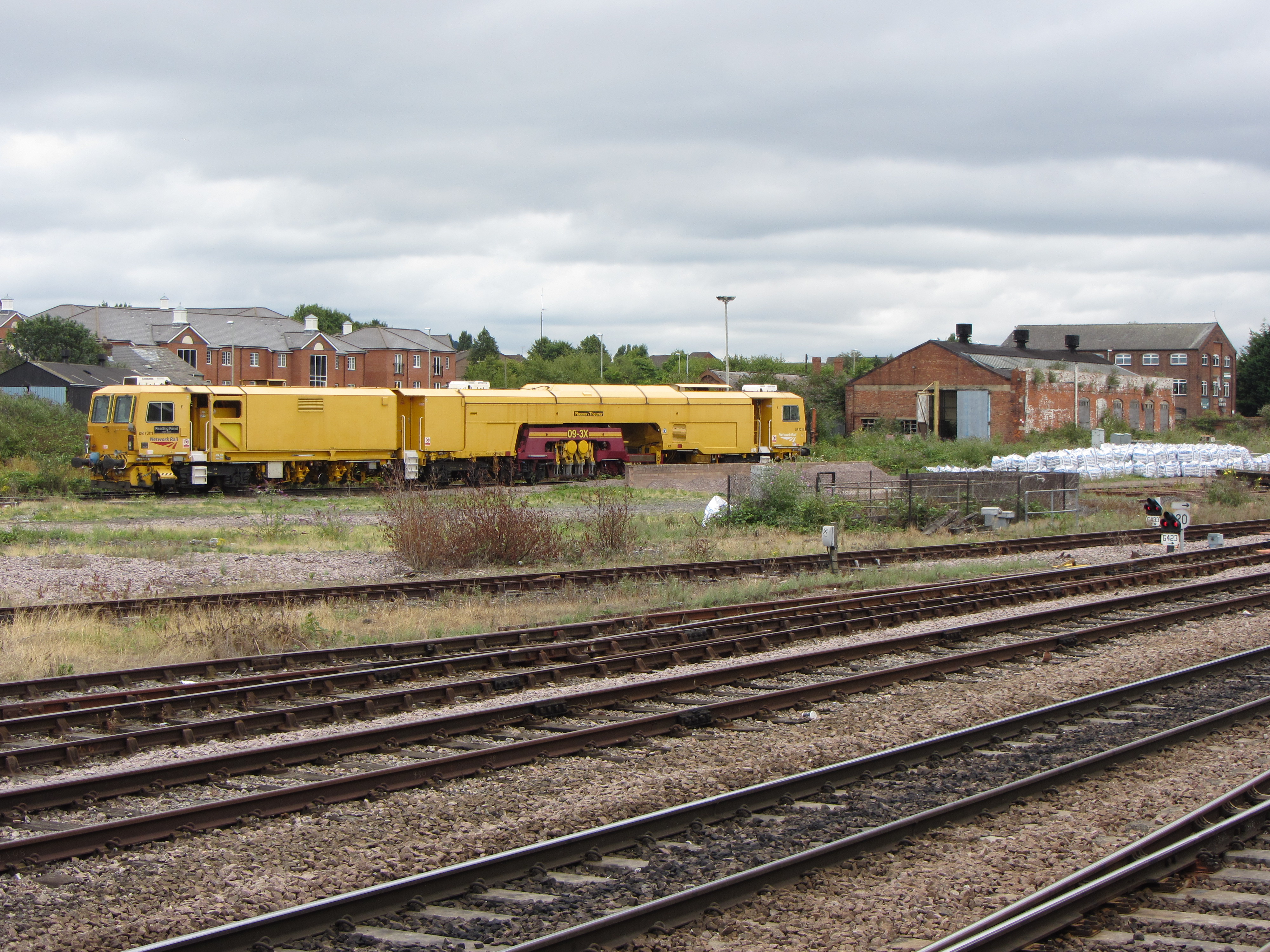
Gloucester TMD

Gloucester TMD is a traction maintenance depot located in Gloucester, Gloucestershire, England. The depot is situated on the Great Western Main Line and...

Gloucester Leisure Centre

Gloucester Leisure Centre was a leisure centre located at Station Road in Gloucester, England. A new leisure centre (branded GL1) was built nearby as a...

Gloucester Eastgate railway station

Gloucester Eastgate railway station was a station in Gloucester, England, used by trains from Birmingham to Bristol. Originally the Birmingham and Gloucester...

Gloucestershire Royal Hospital

Gloucestershire Royal Hospital is an acute District General Hospital on the Great Western Road in Gloucester operated by the Gloucestershire Hospitals...

Horton Road Hospital

The Horton Road Hospital was a mental health facility in Horton Road, Gloucester, England. == History == The hospital, which was designed by William Stark...

Nearby Amenities

Located within 500m of 51.858438,-2.2329177
Pub
Golden Heart
Created By: Potlatch 0.10f
Lat/Long: 51.8550298/-2.2358053
Mitchell Cycles
Addr City: Gloucester
Addr Housenumber: 260-262
Addr Postcode: GL1 4JJ
Addr Street: Barton Street
Shop: bicycle
Lat/Long: 51.8576128/-2.232062
Traffic Signals
Traffic Signals: signal
Lat/Long: 51.8589813/-2.2335891
Pub
One-eyed Jacks
Addr City: Gloucester
Addr Housenumber: 136
Addr Postcode: GL1 4EN
Addr Street: Barton Street
Fhrs Id: 12480
Lat/Long: 51.8606879/-2.2371479
Mini Roundabout
Direction: clockwise
Lat/Long: 51.862062/-2.23523
Place Of Worship
Kingfisher Tredworth
Denomination: interdenominational
Religion: christian
Lat/Long: 51.8544967/-2.2335759
Horton Road
Crossing Barrier: double_half
Crossing Light: yes
Level Crossing: lights+lift_barrier
Railway: level_crossing
Lat/Long: 51.8624084/-2.2301501
Saint James City Farm
Addr City: Gloucester
Addr Housenumber: 23
Addr Postcode: GL1 4NG
Addr Street: Albany Street
Phone: +44 1452 305728
Tourism: attraction
Website: https://www.stjamescityfarm.co.uk/
Lat/Long: 51.8560918/-2.2338261
Barton
Alt Name: Barton Saint Mary
Alt Name 1: Queens Barton
Is In: Gloucestershire, England, UK
Is In City: Gloucester
Is In County: Gloucestershire
Note: Is this actually a suburb or just a locality/neighbourhood? I've removed alt_name 'Barton Street' which could indicate that there's no separate place to the street. I can't find any info on the alt names 'Queens Barton' and 'Barton Saint Mary'
Place: suburb
Source: local_knowledge
Lat/Long: 51.8589634/-2.2340073
World's End
Historic: hamlet
Is In: Gloucestershire, England, UK
Lat/Long: 51.8579722/-2.2311968
Place Of Worship
Masjid-e-Noor
Fixme: denomination
Religion: muslim
Source: local_knowledge
Url: http://www.masjidenoor.org.uk
Lat/Long: 51.8575754/-2.2367648
Bus Stop
Upton St
Bus: yes
Naptan AtcoCode: 1600GL4881
Naptan Bearing: SW
Naptan CommonName: Upton St
Naptan NaptanCode: glodamjg
Naptan PlusbusZoneRef: GLOSTER
Naptan Street: High St
Naptan Verified: no
Public Transport: platform
Source: naptan_import
Lat/Long: 51.856765/-2.2346468
Bus Stop
Upton St
Bus: yes
Naptan AtcoCode: 1600GL4882
Naptan Bearing: NE
Naptan CommonName: Upton St
Naptan NaptanCode: glodamja
Naptan PlusbusZoneRef: GLOSTER
Naptan Street: High St
Naptan Verified: no
Public Transport: platform
Source: naptan_import
Lat/Long: 51.8568638/-2.2347344
Bus Stop
Picturedome Theatre
Bench: no
Bin: no
Bus: yes
Lit: yes
Naptan AtcoCode: 1600GLB119
Naptan Bearing: SE
Naptan CommonName: Millbrook St
Naptan NaptanCode: glodamgd
Naptan PlusbusZoneRef: GLOSTER
Naptan Street: Barton St
Naptan Verified: no
Public Transport: platform
Shelter: no
Source: naptan_import
Tactile Paving: no
Lat/Long: 51.859803/-2.2350053
Bus Stop
Picturedome Theatre
Bench: no
Bin: yes
Bus: yes
Lit: no
Naptan AtcoCode: 1600GLB120
Naptan Bearing: NW
Naptan CommonName: Blenheim Rd
Naptan NaptanCode: glodajpt
Naptan PlusbusZoneRef: GLOSTER
Naptan Street: Barton St
Naptan Verified: no
Public Transport: platform
Shelter: no
Source: naptan_import
Tactile Paving: no
Lat/Long: 51.8603821/-2.2364638
Bus Stop
India Road
Bench: no
Bin: yes
Bus: yes
Lit: yes
Naptan AtcoCode: 1600GLB121
Naptan Bearing: S
Naptan CommonName: India House
Naptan NaptanCode: glodapaj
Naptan PlusbusZoneRef: GLOSTER
Naptan Street: Barton St
Naptan Verified: no
Public Transport: platform
Shelter: yes
Source: naptan_import
Tactile Paving: no
Lat/Long: 51.8586206/-2.232972
Bus Stop
India Road
Bench: yes
Bin: yes
Bus: yes
Lit: yes
Naptan AtcoCode: 1600GLB122
Naptan Bearing: N
Naptan CommonName: India House
Naptan NaptanCode: glodamwt
Naptan PlusbusZoneRef: GLOSTER
Naptan Street: Barton St
Naptan Verified: no
Public Transport: platform
Shelter: yes
Source: naptan_import
Tactile Paving: no
Lat/Long: 51.8584586/-2.2330438
Bus Stop
Woodcock Trading Estate
Bus: yes
Naptan AtcoCode: 1600GLB123
Naptan Bearing: S
Naptan CommonName: Francis Woodcock Trading Est
Naptan NaptanCode: glodapwa
Naptan PlusbusZoneRef: GLOSTER
Naptan Street: Barton St
Naptan Verified: no
Public Transport: platform
Source: naptan_import
Lat/Long: 51.8571221/-2.2314169
Bus Stop
Woodcock Trading Estate
Bus: yes
Naptan AtcoCode: 1600GLB124
Naptan Bearing: N
Naptan CommonName: Francis Woodcock Trading Est
Naptan Indicator: Opp
Naptan NaptanCode: glodaptw
Naptan PlusbusZoneRef: GLOSTER
Naptan Street: Barton St
Naptan Verified: no
Public Transport: platform
Source: naptan_import
Lat/Long: 51.8566079/-2.2314341
Bus Stop
St James' Club
Bus: yes
Naptan AtcoCode: 1600GLB125
Naptan Bearing: SE
Naptan CommonName: Hatherley Rd
Naptan Indicator: Opp
Naptan NaptanCode: glodatga
Naptan PlusbusZoneRef: GLOSTER
Naptan Street: Barton St
Naptan Verified: no
Public Transport: platform
Source: naptan_import
Lat/Long: 51.8546707/-2.2298009
Bus Stop
St James' Club
Bus: yes
Naptan AtcoCode: 1600GLB126
Naptan Bearing: N
Naptan CommonName: Upton St
Naptan NaptanCode: glodataj
Naptan PlusbusZoneRef: GLOSTER
Naptan Street: Barton St
Naptan Verified: no
Public Transport: platform
Source: naptan_import
Lat/Long: 51.8551606/-2.2307303
Place Of Worship
Ryecroft Methodist Church
Denomination: methodist
Religion: christian
Source: local_knowledge
Lat/Long: 51.857716/-2.2388281
Post Office
Tredworth Post Office
Addr City: Gloucester
Addr Country: GB
Addr Housenumber: 84
Addr Postcode: GL1 4SS
Addr Street: High Street
Addr Village: Tredworth
Brand: Post Office
Brand Wikidata: Q1783168
Opening Hours: Mo-Fr 10:00-17:00; Sa 10:00-13:00
Ref Pol Id: 9000
Website: https://www.postoffice.co.uk/branch-finder/2335239/tredworth
Lat/Long: 51.8548756/-2.2364169
Source: Bing
Traffic Calming: bump
Lat/Long: 51.8602756/-2.2332559
Source: Bing
Traffic Calming: bump
Lat/Long: 51.8607025/-2.2335378
Source: Bing
Traffic Calming: cushion
Lat/Long: 51.8602774/-2.2343697
Source: Bing
Traffic Calming: cushion
Lat/Long: 51.860447/-2.2344991
W N Gordon & Son
Phone: +441452520582
Shop: convenience
Lat/Long: 51.8609447/-2.2338602
Source: Bing
Traffic Calming: cushion
Lat/Long: 51.8610662/-2.2363006
Source: Bing
Traffic Calming: bump
Lat/Long: 51.8616315/-2.2368466
Crossing
Crossing: uncontrolled
Crossing Ref: zebra
Lat/Long: 51.8600464/-2.2356295
Source: Bing
Traffic Calming: bump
Lat/Long: 51.8601691/-2.2358899
Source: Bing
Traffic Calming: bump
Lat/Long: 51.8614623/-2.2349789
Source: Bing
Traffic Calming: bump
Lat/Long: 51.8604344/-2.2364475
Source: Bing
Traffic Calming: bump
Lat/Long: 51.8614607/-2.23583
Source: Bing
Traffic Calming: cushion
Lat/Long: 51.8609234/-2.2350122
Source: Bing
Traffic Calming: bump
Lat/Long: 51.8613646/-2.2361589
Source: Bing
Traffic Calming: bump
Lat/Long: 51.8597927/-2.2332971
Post Box
Post Box Type: pillar
Ref: GL1 45
Royal Cypher: EVIIR
Royal Cypher Wikidata: Q33102324
Source: Bing + local knowledge
Lat/Long: 51.8552066/-2.2310347
Horton Road
Crossing Barrier: double_half
Crossing Light: yes
Level Crossing: lights+lift_barrier
Railway: level_crossing
Lat/Long: 51.8624785/-2.2300642
Railway: switch
Lat/Long: 51.8618508/-2.2289188
Horton Road Junction
Railway: switch
Lat/Long: 51.8626817/-2.2309537
Street Lamp
Source: Bing
Lat/Long: 51.8548628/-2.2303507
Street Lamp
Source: Bing
Lat/Long: 51.8546169/-2.230289
Street Lamp
Source: Bing
Lat/Long: 51.8544823/-2.2297062
Street Lamp
Source: Bing
Lat/Long: 51.8546737/-2.230069
Railway: switch
Lat/Long: 51.8621733/-2.2289433
Railway: switch
Lat/Long: 51.8623671/-2.2297694
Railway: switch
Lat/Long: 51.8625633/-2.2303461
Horton Road
Crossing Barrier: double_half
Crossing Light: yes
Level Crossing: lights+lift_barrier
Railway: level_crossing
Lat/Long: 51.8623793/-2.2301823
Horton Road Junction
Railway: switch
Lat/Long: 51.8627182/-2.2309482
Railway: railway_crossing
Lat/Long: 51.8625352/-2.2304858
Railway: switch
Lat/Long: 51.8620088/-2.2292371
Horton Road
Crossing Barrier: double_half
Crossing Light: yes
Level Crossing: lights+lift_barrier
Railway: level_crossing
Lat/Long: 51.8624312/-2.2301213
Railway: buffer_stop
Lat/Long: 51.8624548/-2.2304802
Horton Road
Crossing Barrier: double_half
Crossing Light: yes
Level Crossing: lights+lift_barrier
Railway: level_crossing
Lat/Long: 51.8624555/-2.230092
Railway: switch
Lat/Long: 51.8621816/-2.2291325
Railway: switch
Lat/Long: 51.8621774/-2.2296956
Crossing
Crossing: uncontrolled
Crossing Island: no
Source: DigitalGlobe-Standard
Tactile Paving: yes
Lat/Long: 51.858452/-2.232786
Street Lamp
Source: Bing
Lat/Long: 51.8595224/-2.2355616
Street Lamp
Source: Bing
Lat/Long: 51.8594508/-2.2356025
Telephone
Booth: KX300
Covered: booth
Source: Bing
Lat/Long: 51.8597933/-2.2353296
Power: pole
Source: Bing
Lat/Long: 51.8618675/-2.2376078
Street Lamp
Source: Bing
Lat/Long: 51.8607852/-2.2269801
Telephone
Booth: KX300
Check Date: 2023-06-26
Covered: booth
Source: survey
Lat/Long: 51.8615333/-2.2310727
Post Box
Collection Times: Mo-Fr 16:15; Sa 10:00
Operator: Royal Mail
Operator Wikidata: Q638098
Post Box Design: type_b
Post Box Type: pillar
Ref: GL1 3
Royal Cypher: VR
Royal Cypher Wikidata: Q33102356
Source: survey;gps
Lat/Long: 51.86151/-2.2310822
Crossing
Crossing: yes
Crossing Ref: zebra
Lat/Long: 51.8607966/-2.2372042
Police
Lat/Long: 51.858847/-2.2328214
Gloucestershire Bike Project
Addr City: Gloucester
Addr Housename: Unit 6 Francis Woodcock Trading Estate
Addr Housenumber: 277
Addr Postcode: GL1 4JD
Addr Street: Barton Street
Opening Hours: Mo,We,Th,Fr,Sa 09:00-17:00
Operator: Gloucestershire Bike Project CIC
Phone: +44 1452 690979
Shop: bicycle
Lat/Long: 51.8571221/-2.2314169
Crossing
Crossing: traffic_signals
Crossing Ref: pelican
Lat/Long: 51.8550985/-2.2305565
Source: DigitalGlobe-Standard
Tactile Paving: yes
Lat/Long: 51.8584863/-2.2327996
Source: DigitalGlobe-Standard
Tactile Paving: yes
Lat/Long: 51.858408/-2.2327775
Post Box
Collection Times: Mo-Fr 16:00; Sa 10:00
Operator: Royal Mail
Operator Wikidata: Q638098
Post Box Type: pillar
Ref: GL1 10
Royal Cypher: GR
Royal Cypher Wikidata: Q33102273
Lat/Long: 51.8583525/-2.2328063
Barrier: bollard
Source: DigitalGlobe-Standard
Lat/Long: 51.8584158/-2.2327573
Post Box
Collection Times: Mo-Fr 09:00; Sa 07:00
Operator: Royal Mail
Operator Wikidata: Q638098
Post Box Type: pillar
Ref: GL1 23
Royal Cypher: EIIR
Royal Cypher Wikidata: Q33102113
Lat/Long: 51.8570387/-2.2345729
Post Box
Collection Times: Mo-Fr 16:00; Sa 09:00
Operator: Royal Mail
Operator Wikidata: Q638098
Post Box Type: pillar
Ref: GL1 11
Royal Cypher: EIIR
Royal Cypher Wikidata: Q33102113
Lat/Long: 51.86021/-2.2360641
Post Box
Brand: Royal Mail
Brand Wikidata: Q638098
Collection Times: Mo-Fr 17:00; Sa 11:00
Operator: Royal Mail
Operator Wikidata: Q638098
Post Box Type: pillar
Ref: GL1 17
Royal Cypher: EIIR
Royal Cypher Wikidata: Q33102113
Lat/Long: 51.8545975/-2.2364182
Post Box
Collection Times: Mo-Fr 09:00; Sa 07:00
Operator: Royal Mail
Operator Wikidata: Q638098
Post Box Type: pillar
Ref: GL1 6
Royal Cypher: GR
Royal Cypher Wikidata: Q33102273
Source: survey;gps
Lat/Long: 51.8570626/-2.2394558
Fast Food
Sams Pan Pizza & Kebab
Addr City: Gloucester
Addr Housenumber: 52
Addr Postcode: GL1 4SW
Addr Street: High Streeet
Cuisine: pizza;kebab;burger
Drive Through: no
Opening Hours: Mo-Su 15:00-22:00
Operator: Sams Pan Pizza & Kebab
Lat/Long: 51.8557253/-2.235432
Horton Road Junction
Railway: junction
Lat/Long: 51.8623944/-2.2300576
Atm
Brand: Cashzone
Brand Wikidata: Q110738461
Cash In: no
Network: Allpoint
Network Wikidata: Q4733264
Operator: Cash Zone
Lat/Long: 51.8582137/-2.2326063
Restaurant
Phoenix Chef
Cuisine: chinese
Lat/Long: 51.8582475/-2.2329575
Biedronki
Shop: convenience
Lat/Long: 51.8581028/-2.2329077
Fast Food
Barton Chicken and Pizza
Cuisine: chicken
Lat/Long: 51.8585447/-2.2332168
David's Barber Shop
Male: yes
Shop: hairdresser
Lat/Long: 51.8584304/-2.2330689
Shop: vacant
Lat/Long: 51.8583695/-2.2330178
Restaurant
Kandahar Village
Cuisine: indian
Lat/Long: 51.8586451/-2.2333536
Shop: vacant
Lat/Long: 51.8584894/-2.233147
Shop: vacant
Lat/Long: 51.8587646/-2.2334422
Small Electric Vechile Parking
Lat/Long: 51.8583261/-2.2328093
Shop: vacant
Lat/Long: 51.8584479/-2.2331
Modern Barbershop
Shop: hairdresser
Lat/Long: 51.8588811/-2.2336021
Machine Mart
Shop: hardware
Lat/Long: 51.8589915/-2.2333969
Cuttique
Female: yes
Male: yes
Shop: hairdresser
Lat/Long: 51.8590929/-2.2339787
Man Made: planter
Lat/Long: 51.8583814/-2.2327833
Milan Barbershop
Shop: hairdresser
Lat/Long: 51.8608999/-2.2375137
Restaurant
Hey Sushi
Cuisine: japanese
Lat/Long: 51.861167/-2.2377721
Pharmacy
All Care Pharmacy
Healthcare: pharmacy
Lat/Long: 51.8609945/-2.2374368
Fast Food
Mum's Juicy Spice Jamaican Takeaway
Lat/Long: 51.8602437/-2.2361969
Rhodel International Foods
Shop: convenience
Lat/Long: 51.8603409/-2.2360092
TKS Food and Wine
Shop: alcohol
Lat/Long: 51.8606564/-2.2367642
Fabric House
Shop: sewing
Lat/Long: 51.8610821/-2.2376207
The Roots Barbers
Shop: hairdresser
Lat/Long: 51.8608629/-2.2374889
Barton and Tredworth Developments
Office: estate_agent
Lat/Long: 51.8612224/-2.237887
Diamond Hair Products
Shop: hairdresser_supply
Lat/Long: 51.8612891/-2.238025
Coral
Brand: Coral
Brand Wikidata: Q54621344
Shop: bookmaker
Lat/Long: 51.8606079/-2.2366834
Shop: vacant
Lat/Long: 51.8605631/-2.2368849
Carla Continental Hairstylist
Shop: hairdresser
Lat/Long: 51.8605307/-2.2368167
Shop: vacant
Lat/Long: 51.8593203/-2.234375
J Telecom
Opening Hours: Mo-Sa 10:30-19:30
Shop: mobile_phone
Wheelchair: limited
Lat/Long: 51.8608079/-2.2374042
Outer Beauty
Shop: hairdresser
Lat/Long: 51.8609552/-2.2378539
Timeless Memories
Shop: florist
Lat/Long: 51.8607076/-2.2368981
Favour
Shop: alcohol
Lat/Long: 51.8603236/-2.2364562
lake's
Shop: hairdresser
Lat/Long: 51.8603664/-2.2360582
CJ Models
Shop: model
Lat/Long: 51.8607945/-2.2370061
Too Late Mini Market
Shop: convenience
Lat/Long: 51.860963/-2.2377643
Fast Food
Gloucester Shawarma
Lat/Long: 51.8601648/-2.2356676
Firstcall
Office: employment_agency
Lat/Long: 51.8605746/-2.236523
Mr B Hair Products
Shop: hairdresser
Lat/Long: 51.8604055/-2.2371967
Al-Furat Minimarket
Shop: convenience
Lat/Long: 51.8611261/-2.2376921
Polski Sklep
Shop: convenience
Lat/Long: 51.8600959/-2.2355725
Sharazoor Minimarket
Shop: convenience
Lat/Long: 51.8596021/-2.234869
Luna's Salon
Shop: hairdresser
Lat/Long: 51.8609435/-2.2377164
Doctors
First Scan
Healthcare: doctor
Healthcare Speciality: radiology
Lat/Long: 51.8609357/-2.2376859
Fast Food
Star Grillz
Cuisine: chicken
Lat/Long: 51.8610745/-2.238064
Shop: vacant
Lat/Long: 51.860266/-2.2362758
Great Minimarket
Shop: convenience
Lat/Long: 51.8604517/-2.2362152
Shop: vacant
Lat/Long: 51.8611525/-2.2382155
Shop: antiques
Lat/Long: 51.8611065/-2.2381395
Ik's Barber
Shop: hairdresser
Lat/Long: 51.859221/-2.2338703
Image Barbershop
Shop: hairdresser
Lat/Long: 51.8612564/-2.2379653
Jayzee Traders
Shop: computer
Lat/Long: 51.8610341/-2.2379814
Shop: vacant
Lat/Long: 51.8609993/-2.2379256
Favour
Shop: hairdresser
Lat/Long: 51.8603372/-2.2363906
Madina Halal Meat
Shop: butcher
Lat/Long: 51.8602944/-2.2363336
Barton Minimarket
Shop: convenience
Lat/Long: 51.8602356/-2.2361449
Top Cuts Barber Shop
Shop: hairdresser
Lat/Long: 51.8599019/-2.2351912
Shop: vacant
Lat/Long: 51.859863/-2.2351244
Mobile Rep Store
Shop: mobile_phone
Lat/Long: 51.8600281/-2.2354299
A Remus Sound
Shop: music
Lat/Long: 51.8598476/-2.2350837
Great Continental Storw
Shop: convenience
Lat/Long: 51.8600673/-2.2354659
International Mini Market
Shop: convenience
Lat/Long: 51.8602488/-2.2358434
Carpe Die.
Shop: convenience
Lat/Long: 51.8600003/-2.2354043
Accountx
Office: accountant
Lat/Long: 51.8603141/-2.2359401
A Land Barber
Shop: hairdresser
Lat/Long: 51.8604085/-2.2361086
Theatre
PictureDrome Theatre
Lat/Long: 51.8601571/-2.2355523
Sergio's Barbers and Retail
Shop: hairdresser
Lat/Long: 51.8599232/-2.235225
Shop: bicycle
Lat/Long: 51.860209/-2.235751
Ildiko Salon
Shop: hairdresser
Lat/Long: 51.8591487/-2.2337101
Fast Food
Pizza Plus
Cuisine: pizza
Lat/Long: 51.8599769/-2.2353298
Community Centre
The Gloucestershire African and Carribbean Association
Lat/Long: 51.8592607/-2.2339163
Ranya Market
Shop: convenience
Lat/Long: 51.8599587/-2.2352898
Community Centre
Islamic Society of Gloucester
Lat/Long: 51.8595287/-2.2343519
Fast Food
Khan's Kebabs
Lat/Long: 51.8592332/-2.2341679
Restaurant
Mumtaz
Cuisine: indian
Lat/Long: 51.8591937/-2.2341263
Brand: Premier
Brand Wikidata: Q7240340
Shop: convenience
Website: https://www.premier-stores.co.uk/our-stores/barton-street-stores
Lat/Long: 51.8591534/-2.2340136
Gloucester Wash & Dry
Laundry Service: yes
Self Service: yes
Shop: laundry
Lat/Long: 51.8591139/-2.2336509
Shop: vacant
Lat/Long: 51.8595534/-2.2344036
Food Plus
Shop: convenience
Lat/Long: 51.859472/-2.2342449
Doctors
Bartongate Surgery
Healthcare: doctor
Lat/Long: 51.8609176/-2.2372129
Waste Basket
Lat/Long: 51.8582253/-2.2327412
Bicycle Parking
Lat/Long: 51.8582448/-2.2327746
Waste Basket
Lat/Long: 51.8582539/-2.2327992
Place Of Worship
Barton Street Methodist Church
Lat/Long: 51.8607377/-2.2374335
Place Of Worship
Ukrainian Catholic Church of The Good Shepherd
Lat/Long: 51.8604469/-2.2312611
Budgens
Addr Housenumber: 227
Addr Postcode: GL1 4JE
Addr Street: Barton Street
Brand: Budgens
Brand Wikidata: Q4985016
Opening Hours: Mo-Su 06:00-24:00
Shop: convenience
Website: https://www.budgens.co.uk/our-stores/barton-street
Lat/Long: 51.8582092/-2.2323938
Defibrillator
Emergency: defibrillator
Lat/Long: 51.8574174/-2.236651
Charging Station
Lat/Long: 51.8589293/-2.2347123
The data included in this document is from www.openstreetmap.org. The data is made available under ODbL.

Have you been to Barton?

Leave your review of Barton below (or comments, questions and feedback).