Cumberton Bottom

Valley in Essex South Cambridgeshire

England

Cumberton Bottom

The Fox & Hounds Pub - Barley, Hertfordshire This pub was built in the 17th century. Its very interesting gantry sign is one of only two remaining in Hertfordshire.
The Fox & Hounds Pub - Barley, Hertfordshire Credit: Catherine Edwards

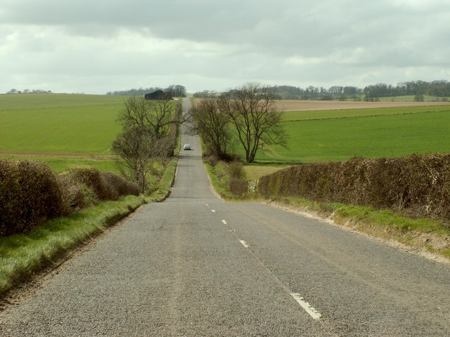
Cumberton Bottom, located in the county of Essex in England, is a picturesque valley renowned for its natural beauty and tranquil surroundings. Nestled amidst rolling hills and lush greenery, it offers a peaceful escape from the hustle and bustle of urban life.

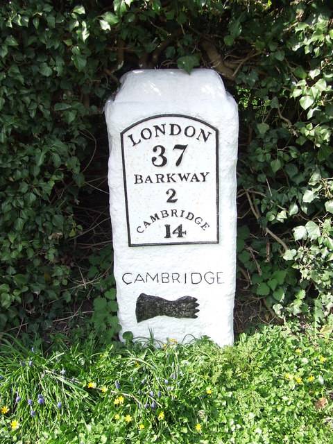
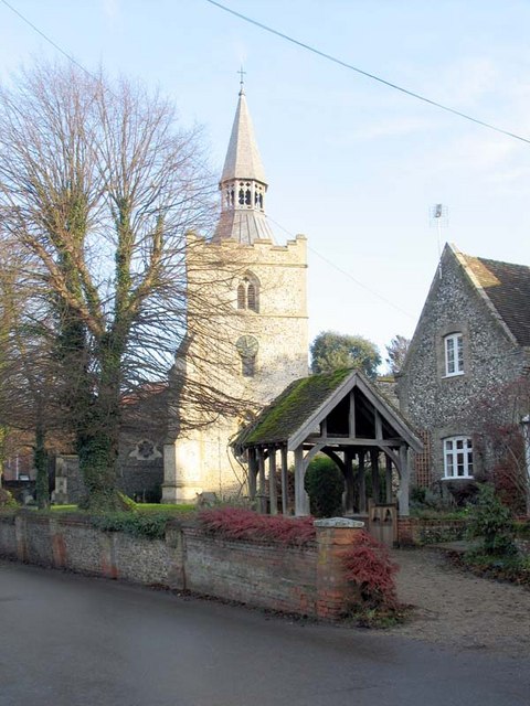
The valley is named after the small village of Cumberton, which sits at its heart. Cumberton is a charming settlement with a rich history, dating back to medieval times. Its quaint cottages and historic buildings provide a glimpse into the region's past.

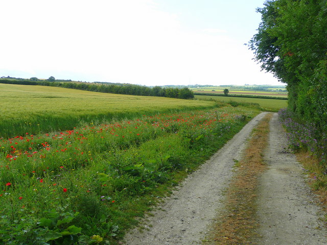
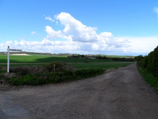
Cumberton Bottom is characterized by its diverse landscape, featuring meandering streams, woodlands, and open fields. The valley is a haven for wildlife, with a wide variety of flora and fauna. It is not uncommon to spot deer grazing in the fields or hear the cheerful songs of birds as you explore the area.

The valley is a popular destination for outdoor enthusiasts, offering numerous walking and hiking trails that showcase the stunning natural scenery. Visitors can enjoy leisurely strolls along the riverbanks or embark on more challenging hikes up the surrounding hills, which provide panoramic views of the valley below.

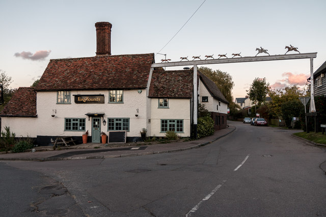
In addition to its natural attractions, Cumberton Bottom also boasts several quaint country pubs and tea rooms, where visitors can indulge in traditional British cuisine and sample locally brewed ales.

Cumberton Bottom, Essex, truly offers an idyllic escape for those seeking tranquility and a taste of the English countryside.

If you have any feedback on the listing, please let us know in the comments section below.

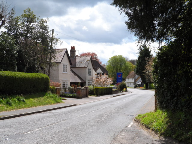
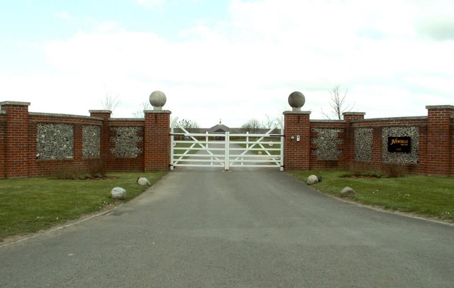
Cumberton Bottom Images

Images are sourced within 2km of 52.039134/0.045208911 or Grid Reference TL4039. Thanks to Geograph Open Source API. All images are credited.

The Fox & Hounds Pub - Barley, Hertfordshire This pub was built in the 17th century. Its very interesting gantry sign is one of only two remaining in Hertfordshire.
The Fox & Hounds Pub - Barley, Hertfordshire
This pub was built in the 17th century. Its very interesting gantry sign is one of only two remaining in Hertfordshire.
The B.1039, heading towards Royston
The B.1039 between Barley and Royston
Track and barley field Yes it is barley at Barley!
Track and barley field
Yes it is barley at Barley!
Track and footpath to Barley Looking south-east from the B1039 near Royston.
Track and footpath to Barley
Looking south-east from the B1039 near Royston.
Old Milestone Old milestone on the B1368 at Barley, Hertfordshire. For close up view see <a title="https://www.geograph.org.uk/photo/1792432" href="https://www.geograph.org.uk/photo/1792432">Link</a> and for more info see <span class="nowrap"><a title="http://milestones.megalithia.com/sites/tl398383.htm" rel="nofollow ugc noopener" href="http://milestones.megalithia.com/sites/tl398383.htm">Link</a><img style="margin-left:2px;" alt="External link" title="External link - shift click to open in new window" src="https://s1.geograph.org.uk/img/external.png" width="10" height="10"/></span> do look at their home page.
Old Milestone
Old milestone on the B1368 at Barley, Hertfordshire. For close up view see Link and for more info see LinkExternal link do look at their home page.
Old Milestone Old milestone on the B1368 at Barley, Hertfordshire. For overall view see <a title="https://www.geograph.org.uk/photo/1792426" href="https://www.geograph.org.uk/photo/1792426">Link</a> and for more info see <span class="nowrap"><a title="http://milestones.megalithia.com/sites/tl398383.htm" rel="nofollow ugc noopener" href="http://milestones.megalithia.com/sites/tl398383.htm">Link</a><img style="margin-left:2px;" alt="External link" title="External link - shift click to open in new window" src="https://s1.geograph.org.uk/img/external.png" width="10" height="10"/></span> do look at their home page.
Old Milestone
Old milestone on the B1368 at Barley, Hertfordshire. For overall view see Link and for more info see LinkExternal link do look at their home page.
Track to Lowerfield Lower Field on the sign post but Lowerfield on the O.S. map.
Track to Lowerfield
Lower Field on the sign post but Lowerfield on the O.S. map.
High Street, Barley With petrol station sign.
High Street, Barley
With petrol station sign.
Fox and Hounds pub, Barley An update to Catherine Edwards' 2006 photo. See <a title="https://www.geograph.org.uk/photo/139202" href="https://www.geograph.org.uk/photo/139202">Link</a>
Fox and Hounds pub, Barley
An update to Catherine Edwards' 2006 photo. See Link
Early 20th Century Advertising Sign
The Chequers, Barley
Fox and Hounds Public House, Barley, Essex I liked the inn sign across the street.
Fox and Hounds Public House, Barley, Essex
I liked the inn sign across the street.
Road Sign on B1368, Barley, Essex This sign is opposite the Fox and Hounds public house.
Road Sign on B1368, Barley, Essex
This sign is opposite the Fox and Hounds public house.
Wooden Building, Crossways, Barley, Essex The post supporting the sign for the Fox and Hounds public house can be seen on the left of the image.
Wooden Building, Crossways, Barley, Essex
The post supporting the sign for the Fox and Hounds public house can be seen on the left of the image.
War Memorial, Crossways, Barley, Essex
B1368, Barley, Essex The Fox and Hounds Public House can be seen on the right.
B1368, Barley, Essex
The Fox and Hounds Public House can be seen on the right.
Barley Moothall
Barley Moothall
Show me another place!

Cumberton Bottom is located at Grid Ref: TL4039 (Lat: 52.039134, Lng: 0.045208911)

Administrative County: Cambridgeshire

District: South Cambridgeshire

Police Authority: Cambridgeshire

What 3 Words

///exile.rejoins.biked. Near Royston, Hertfordshire

Related Wikis

Barley, Hertfordshire

Barley is a village and civil parish in the district of North Hertfordshire, England. According to the 2001 census, it has a population of 659, increasing...

Great Chishill

Great Chishill is a village and former civil parish, now in the parish of Great and Little Chishill, in the South Cambridgeshire district, in the county...

Newsells Park

Newsells Park is a country house and estate at Barkway in Hertfordshire. == History == The estate and the original manor house, built in the late 17th...

Goffers Knoll

Goffers Knoll is a prominent knoll on the Hertfordshire-Cambridgeshire border in the east of England, to the east of the town of Royston and south of Melbourn...

Nearby Amenities

Located within 500m of 52.039134,0.045208911
Milestone
Note Ref: 13 miles to Cambridge.
Operator: Trinity Hall, Cambridge
Ref: 13
Source: survey
Wikidata: Q26396650
Lat/Long: 52.0393064/0.0421804
The data included in this document is from www.openstreetmap.org. The data is made available under ODbL.

Have you been to Cumberton Bottom?

Leave your review of Cumberton Bottom below (or comments, questions and feedback).