Cuckoo Bottom
Valley in Sussex Lewes
England
Cuckoo Bottom

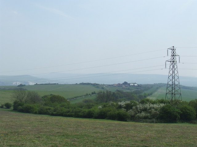
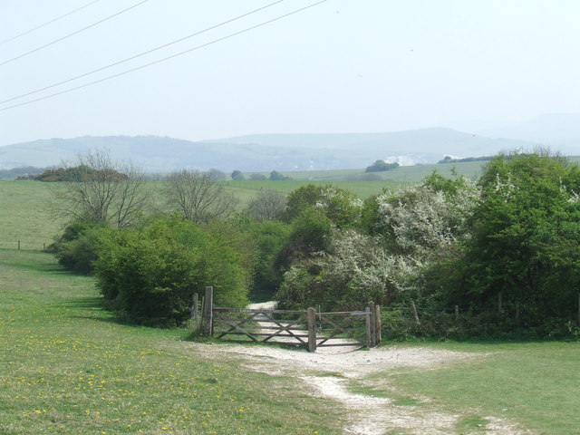
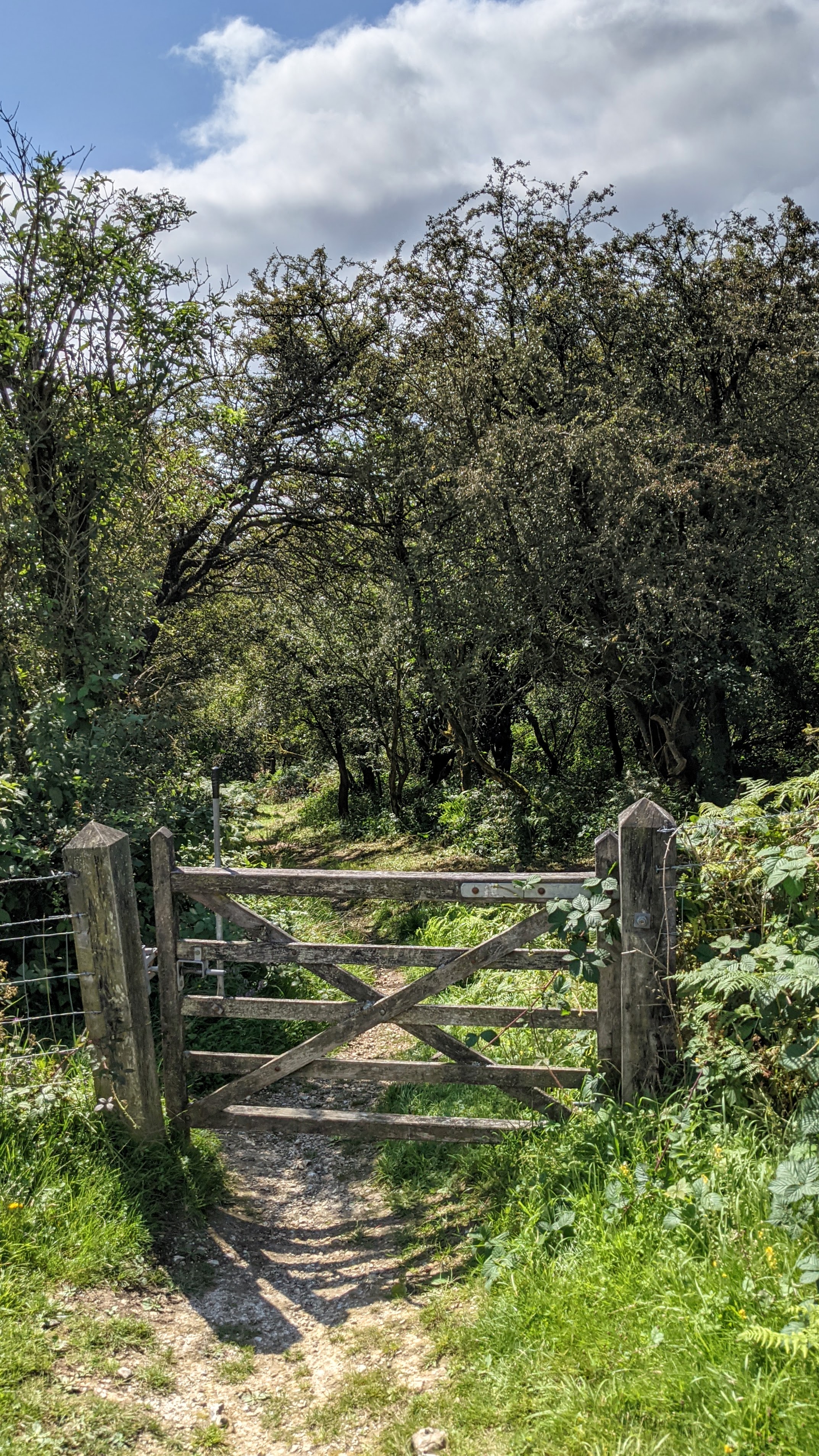
Cuckoo Bottom is a picturesque valley located in the county of Sussex, England. Nestled amidst the rolling hills of the South Downs National Park, this idyllic location offers visitors a tranquil escape from the hustle and bustle of modern life.
The valley gets its name from the abundance of cuckoo birds that can be heard throughout the area during the spring and summer months. It is a haven for nature enthusiasts and birdwatchers, who flock to the valley to witness the diverse range of avian species that call it home.
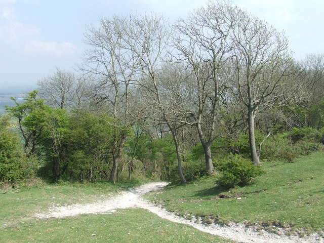
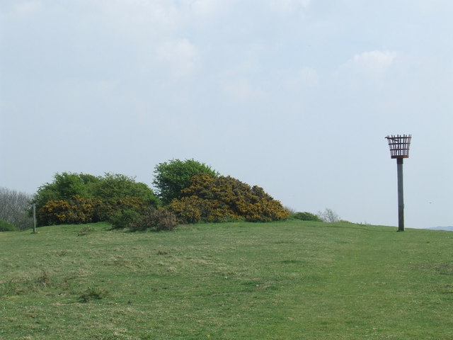
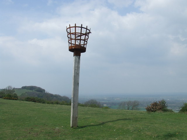
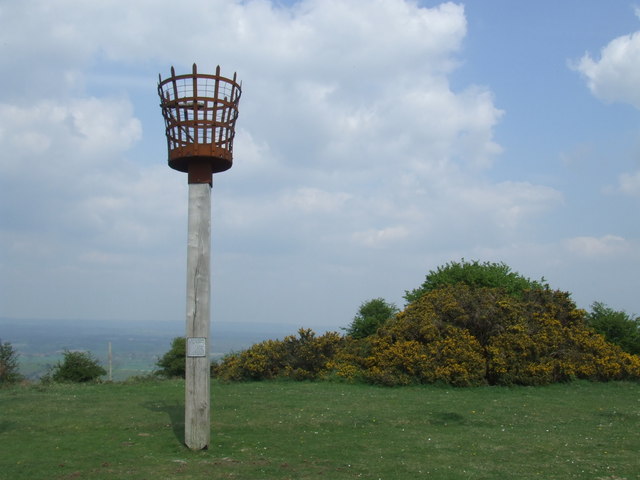
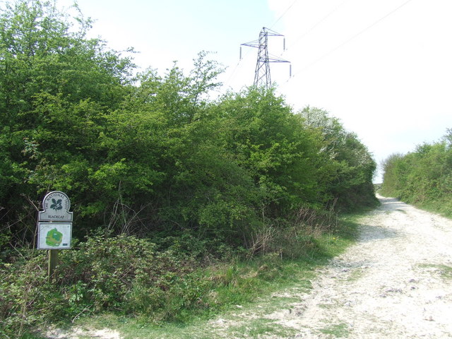
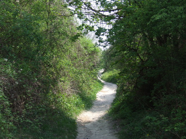
Cuckoo Bottom is renowned for its breathtaking natural scenery. Lush green fields, dotted with wildflowers, stretch as far as the eye can see, while ancient woodlands provide a haven for a variety of wildlife. The valley is crisscrossed by babbling brooks and streams, adding to its charm and serenity.
The valley is also steeped in history. Archaeological excavations have revealed evidence of human habitation in the area dating back thousands of years. Visitors can explore the remnants of Iron Age settlements and Roman ruins, gaining insight into the lives of those who once called Cuckoo Bottom home.
Outdoor enthusiasts are spoiled for choice with a plethora of walking and cycling trails that wind through the valley. These trails offer stunning views of the surrounding countryside and provide an opportunity to immerse oneself in the natural beauty of the area.
In conclusion, Cuckoo Bottom is a hidden gem in Sussex, offering visitors a blend of natural beauty, wildlife, and historical significance. Whether you are seeking a peaceful retreat or an active adventure, this valley has something to offer for everyone.
If you have any feedback on the listing, please let us know in the comments section below.
Cuckoo Bottom Images
Images are sourced within 2km of 50.88149/-0.0284341 or Grid Reference TQ3810. Thanks to Geograph Open Source API. All images are credited.


Cuckoo Bottom is located at Grid Ref: TQ3810 (Lat: 50.88149, Lng: -0.0284341)
Administrative County: East Sussex
District: Lewes
Police Authority: Sussex
What 3 Words
///tastings.slogans.analogy. Near Lewes, East Sussex
Nearby Locations
Related Wikis

Lewes Speed Trials
The Lewes Speed Trials were speed trials held on a defunct course in Lewes, Sussex, England, sometimes known as "The Motor Road." == History == The first...

Battle of Lewes
The Battle of Lewes was one of two main battles of the conflict known as the Second Barons' War. It took place at Lewes in Sussex, on 14 May 1264. It marked...
Offham Hill
Offham Hill is a causewayed enclosure near Lewes, East Sussex, England. Causewayed enclosures were built in England from shortly before 3700 BC until...

Ashcombe House, East Sussex
Ashcombe House is a country house in St Ann Without, Lewes District in East Sussex. It is a Grade II* listed building. It is co-owned with and faced by...

St Ann Without
St Ann Without is a civil parish in the Lewes District of East Sussex, England. It covers an area to the west of the town of Lewes, including Long Hill...

Blackcap, East Sussex
Blackcap is a hill and nature reserve in East Sussex, England. It is on a peak of the South Downs, just south east of Plumpton and west of Lewes. The flatter...
Ashcombe Bottom
Ashcombe Bottom (TQ 373 119) is a 66 hectares (160 acres) woodland valley owned by the National Trust that runs south from Blackcap, East Sussex, England...

Lewes Victoria Hospital
Lewes Victoria Hospital is a health facility at Nevill Road in Lewes, East Sussex, England. It is managed by NHS Property Services with services operated...
Nearby Amenities
Located within 500m of 50.88149,-0.0284341Have you been to Cuckoo Bottom?
Leave your review of Cuckoo Bottom below (or comments, questions and feedback).