Roedean Bottom

Valley in Sussex

England

Roedean Bottom

Jetties - Brighton Marina Brighton Marina is a large, man-made marina. The construction of the marina itself took place between 1971 and 1979, although developments within it have continued ever since. The marina covers an area of approximately 127 acres.
<span class="nowrap"><a title="http://en.wikipedia.org/wiki/Brighton_Marina" rel="nofollow ugc noopener" href="http://en.wikipedia.org/wiki/Brighton_Marina">Link</a><img style="margin-left:2px;" alt="External link" title="External link - shift click to open in new window" src="https://s1.geograph.org.uk/img/external.png" width="10" height="10"/></span>
Jetties - Brighton Marina Credit: Paul Gillett

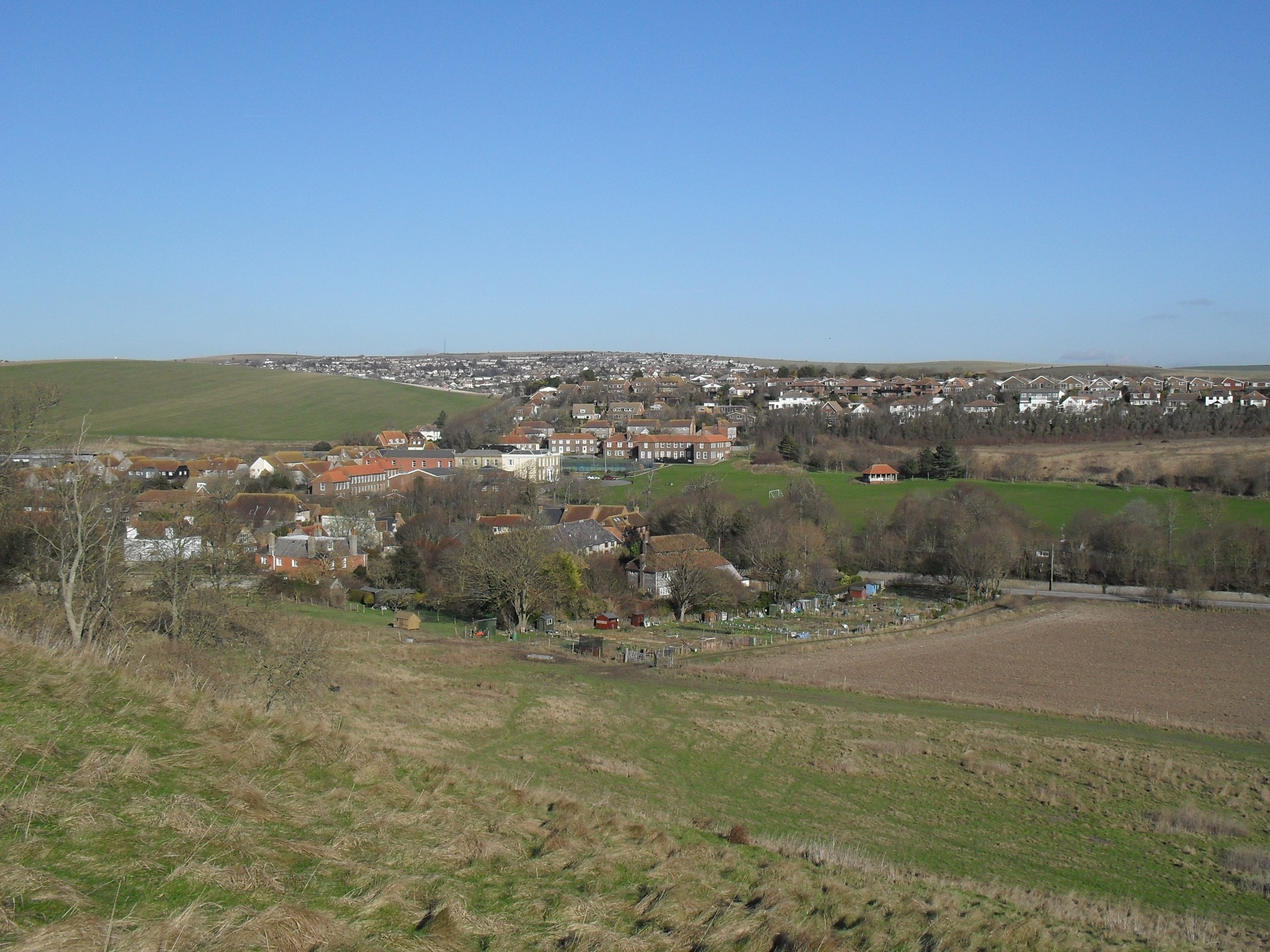
Roedean Bottom, located in Sussex, England, is a picturesque valley nestled between the South Downs and the English Channel. This area is renowned for its natural beauty, making it a popular destination for nature enthusiasts and hikers alike.

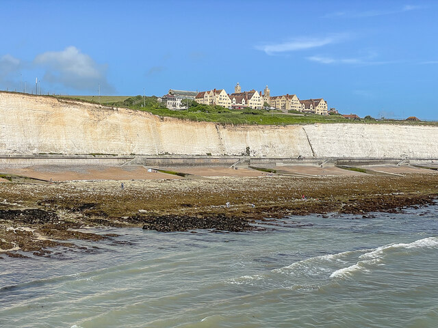
The valley is named after the nearby Roedean School, an independent girls' school that overlooks the area. The school's stunning architecture and expansive grounds add to the charm of Roedean Bottom, attracting visitors from far and wide.

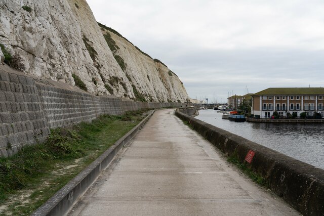
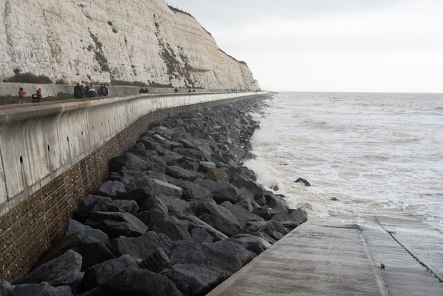
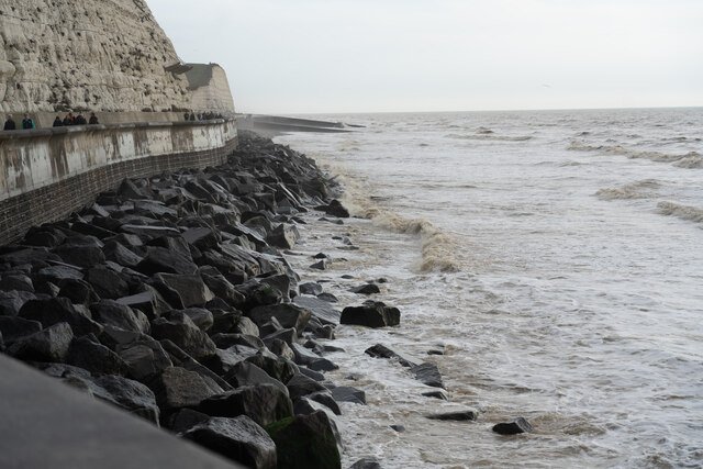
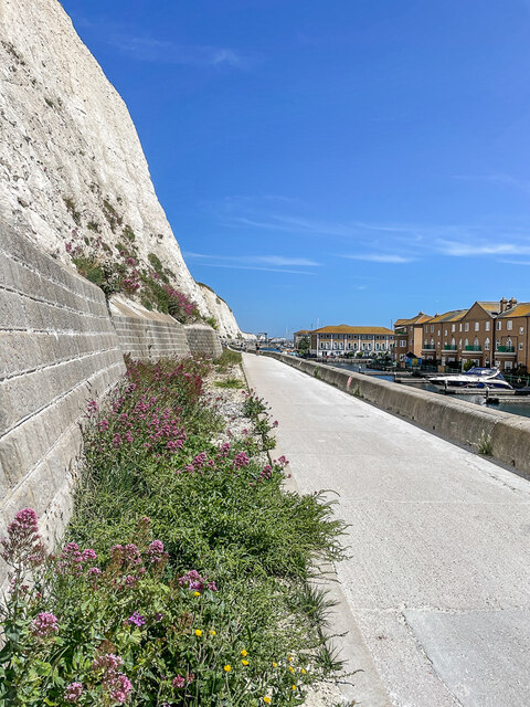
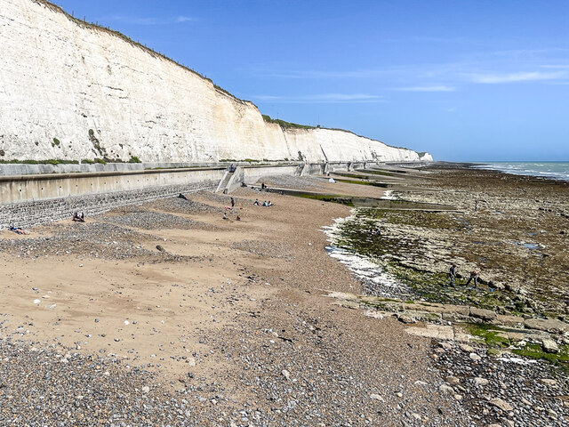
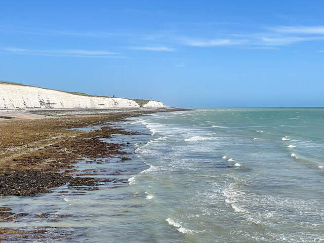
The landscape of Roedean Bottom is characterized by rolling hills, lush green meadows, and vibrant wildflowers that create a stunning backdrop. One of the main attractions in the valley is the Roedean Bottom Nature Reserve, which spans approximately 25 hectares. The reserve is home to a diverse range of flora and fauna, including rare orchids, butterflies, and various bird species.

In addition to its natural beauty, Roedean Bottom offers breathtaking views of the English Channel, providing visitors with the opportunity to witness stunning sunsets and coastal scenery. The valley is also intersected by numerous footpaths and trails, making it an ideal location for walkers and hikers to explore the surrounding countryside.

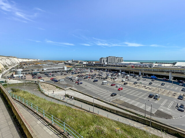
Roedean Bottom is easily accessible by road and public transport, with ample parking available for visitors. It is a peaceful and tranquil retreat, offering a welcome escape from the hustle and bustle of everyday life. Whether it's a leisurely stroll, a picnic in the meadows, or a chance to observe wildlife in its natural habitat, Roedean Bottom promises a memorable and relaxing experience for all who visit.

If you have any feedback on the listing, please let us know in the comments section below.

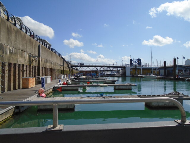
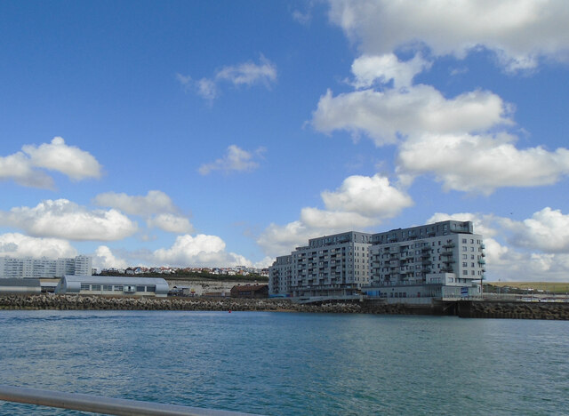
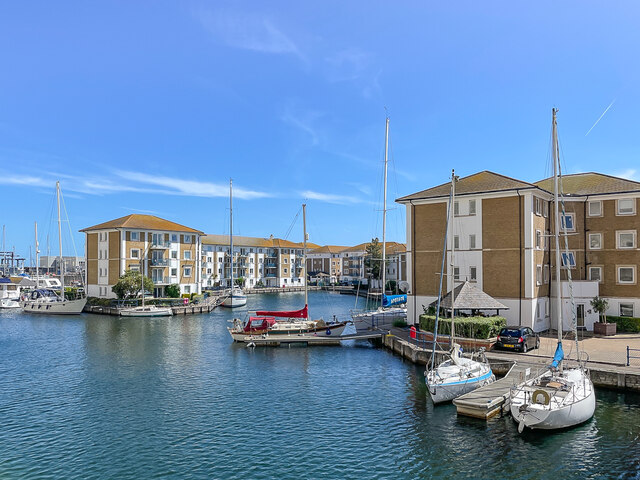
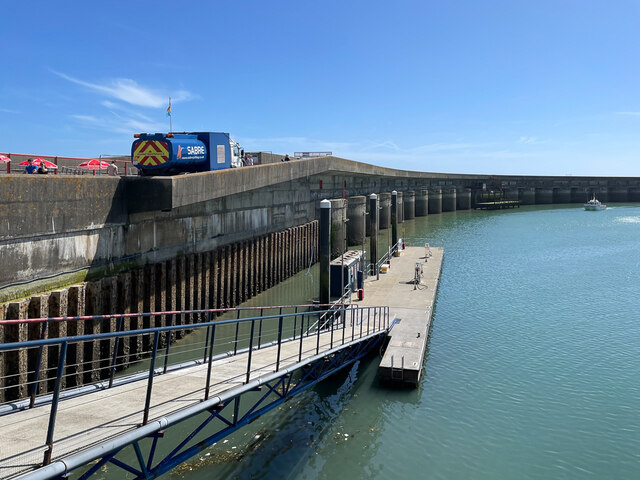
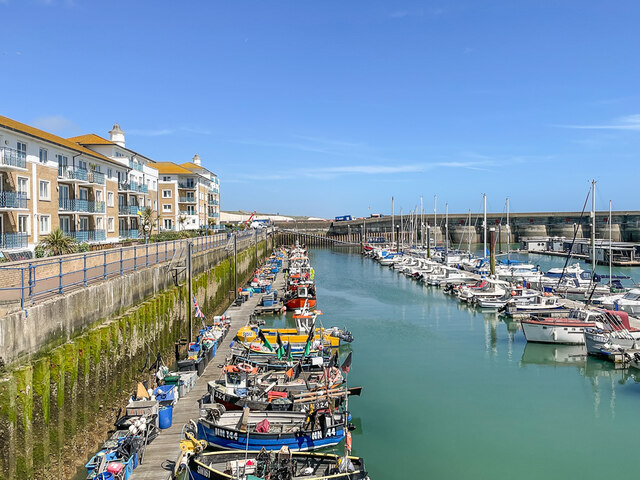
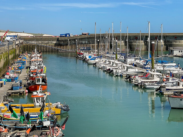
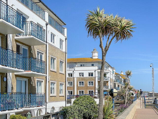
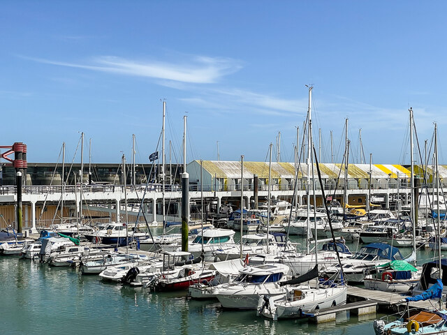
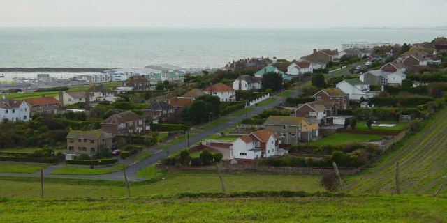
Roedean Bottom Images

Images are sourced within 2km of 50.816248/-0.08715936 or Grid Reference TQ3403. Thanks to Geograph Open Source API. All images are credited.

Jetties - Brighton Marina Brighton Marina is a large, man-made marina. The construction of the marina itself took place between 1971 and 1979, although developments within it have continued ever since. The marina covers an area of approximately 127 acres.
<span class="nowrap"><a title="http://en.wikipedia.org/wiki/Brighton_Marina" rel="nofollow ugc noopener" href="http://en.wikipedia.org/wiki/Brighton_Marina">Link</a><img style="margin-left:2px;" alt="External link" title="External link - shift click to open in new window" src="https://s1.geograph.org.uk/img/external.png" width="10" height="10"/></span>
Jetties - Brighton Marina
Brighton Marina is a large, man-made marina. The construction of the marina itself took place between 1971 and 1979, although developments within it have continued ever since. The marina covers an area of approximately 127 acres. LinkExternal link
Apartments at Brighton Marina Photo taken from a catamaran going out to see the Rampion Wind Farms
Apartments at Brighton Marina
Photo taken from a catamaran going out to see the Rampion Wind Farms
Brighton Marina Village, looking towards the multi-story car park
Houses in the Brighton Marina Village and the coastal path
Slipway into sea off Undercliff Walk
Undercliff walk facing east
Brighton Marina Looking down on the car park and Asda supermarket at Brighton Marina.
Brighton Marina
Looking down on the car park and Asda supermarket at Brighton Marina.
Brighton Marina The cliffbase path alongside Brighton Marina.
Brighton Marina
The cliffbase path alongside Brighton Marina.
Victory Mews Waterside flats and townhouses in Victory Mews in Brighton Marina.
Victory Mews
Waterside flats and townhouses in Victory Mews in Brighton Marina.
Victory Mews and The Strand Waterside flats and townhouses in Victory Mews (on the right) and The Strand (in the left background) in Brighton Marina.
Victory Mews and The Strand
Waterside flats and townhouses in Victory Mews (on the right) and The Strand (in the left background) in Brighton Marina.
Roedean Beach Beach below Roedean Cliffs, seen from the eastern breakwater of Brighton Marina.
Roedean Beach
Beach below Roedean Cliffs, seen from the eastern breakwater of Brighton Marina.
Roedean Beach Beach below Roedean Cliffs, seen from the eastern breakwater of Brighton Marina.  On the clifftop in the background can be seen Rottingdean Windmill on Beacon Hill above Rottingdean.
Roedean Beach
Beach below Roedean Cliffs, seen from the eastern breakwater of Brighton Marina. On the clifftop in the background can be seen Rottingdean Windmill on Beacon Hill above Rottingdean.
Roedean Beach Beach below Roedean Cliffs, seen from the eastern breakwater of Brighton Marina.  On the clifftop is Roedean School.
Roedean Beach
Beach below Roedean Cliffs, seen from the eastern breakwater of Brighton Marina. On the clifftop is Roedean School.
Brighton Marina The eastern breakwater of Brighton Marina.
Brighton Marina
The eastern breakwater of Brighton Marina.
Brighton Marina Fishing boats moored to the quayside at Brighton maria, with other craft on the right.
Brighton Marina
Fishing boats moored to the quayside at Brighton maria, with other craft on the right.
Brighton Marina Fishing boats moored to the quayside at Brighton maria, with other craft on the right.
Brighton Marina
Fishing boats moored to the quayside at Brighton maria, with other craft on the right.
Sovereign Court and Britannia Court Housing in Sovereign Court (in the left) and Britannia Court (beyond) in Brighton Marina.
Sovereign Court and Britannia Court
Housing in Sovereign Court (in the left) and Britannia Court (beyond) in Brighton Marina.
 Brighton Marina Moored boats in Brighton Marina.
Brighton Marina
Moored boats in Brighton Marina.
Show me another place!

Roedean Bottom is located at Grid Ref: TQ3403 (Lat: 50.816248, Lng: -0.08715936)

Unitary Authority: Brighton and Hove

Police Authority: Sussex

What 3 Words

///cycle.trips.poetic. Near Rottingdean, East Sussex

Related Wikis

Roedean School

Roedean School () is an independent boarding and day school founded in 1885 in Roedean Village on the outskirts of Brighton, East Sussex, England, and...

Roedean

Roedean is a village in the city of Brighton and Hove, England, UK, east of the seaside resort of Brighton. == Notable buildings and areas == Roedean Gap...

St Wulfran's Church, Ovingdean

St Wulfran's Church, dedicated to the 7th-century French archbishop Wulfram of Sens, is an Anglican church in Ovingdean, a rural village now within the...

Ovingdean Grange

Ovingdean Grange is a Grade II listed manor house situated on the south coast of England in the village of Ovingdean, east of Brighton. One of the oldest...

Ovingdean Hall School

Ovingdean Hall School (OHS) now OIH Brighton was a special day and boarding secondary school for the severely and profoundly deaf children and young people...

Whitehawk F.C.

Whitehawk Football Club is a semi-professional English football club based in Whitehawk, a suburb of the city of Brighton and Hove, The club currently...

Ovingdean

Ovingdean is a small, formerly agricultural village and former civil parish on the eastern edge of the city of Brighton and Hove in the ceremonial county...

Black Rock (Brighton and Hove)

Black Rock is an area of beach and promenade located to the west of Brighton Marina and south of Sussex Square in Kemptown in the city of Brighton and...

Nearby Amenities

Located within 500m of 50.816248,-0.08715936
Mini Roundabout
Lat/Long: 50.8123323/-0.0867544
Parking
Lat/Long: 50.8129897/-0.0861573
Place Of Worship
Roedean School Chapel
Place Of Worship Type: chapel
Religion: christian
Lat/Long: 50.8129151/-0.0853677
Roedean
Is In County: East Sussex
Is In Municipality: Brighton and Hove
Place: village
Wikidata: Q7357560
Wikipedia: en:Roedean
Lat/Long: 50.8149726/-0.0915331
Bus Stop
Roedean Golf Course
Bus: yes
Operator: Brighton & Hove Buses (Go-Ahead Group)
Public Transport: platform
Lat/Long: 50.8139416/-0.0923559
The data included in this document is from www.openstreetmap.org. The data is made available under ODbL.

Have you been to Roedean Bottom?

Leave your review of Roedean Bottom below (or comments, questions and feedback).