Hawksmeet Ghyll
Valley in Surrey Tandridge
England
Hawksmeet Ghyll
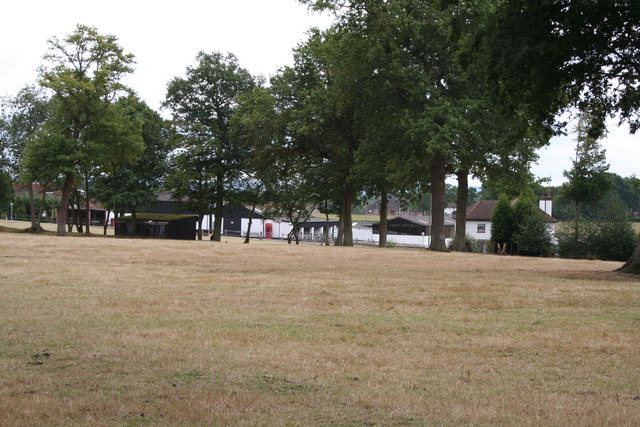
Hawksmeet Ghyll is a picturesque valley located in Surrey, England. This tranquil and idyllic spot is nestled amidst the stunning Surrey Hills Area of Outstanding Natural Beauty. The ghyll, a term used to describe a narrow valley with a stream, is named after the hawks that can often be spotted soaring above the area.
The valley is characterized by its lush greenery, rolling hills, and meandering stream, which adds to its natural charm. It is a haven for wildlife enthusiasts and nature lovers, as it is home to a diverse range of flora and fauna. The ghyll is particularly known for its abundance of bird species, including buzzards, kestrels, and of course, hawks.
Hawksmeet Ghyll offers a variety of recreational activities for visitors to enjoy. There are numerous walking trails that meander through the valley, allowing visitors to explore its beauty at their own pace. The trails offer breathtaking views of the surrounding countryside, with opportunities for picnics or simply immersing oneself in the peaceful ambiance of the area.
The ghyll is also a popular spot for photographers, as it provides ample opportunities to capture the beauty of nature. During the spring, the valley is adorned with colorful wildflowers, creating a vibrant and enchanting scene.
Overall, Hawksmeet Ghyll is a hidden gem in Surrey, offering a serene and picturesque escape from the hustle and bustle of everyday life. Whether it's for a leisurely walk, birdwatching, or simply to immerse oneself in the beauty of nature, this valley is a must-visit destination for those seeking tranquility and natural splendor.
If you have any feedback on the listing, please let us know in the comments section below.
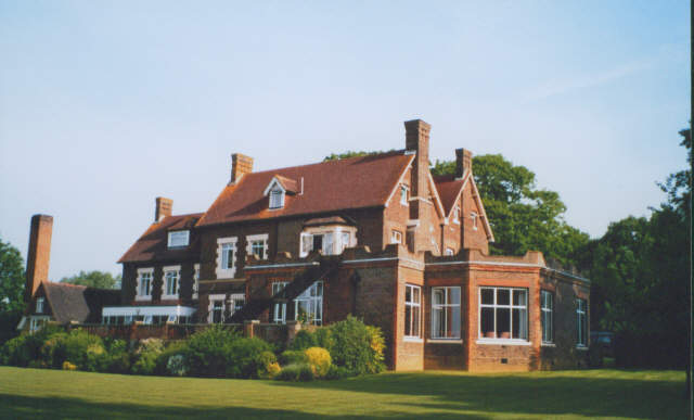
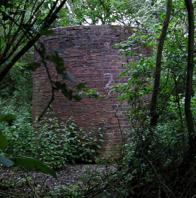
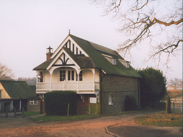
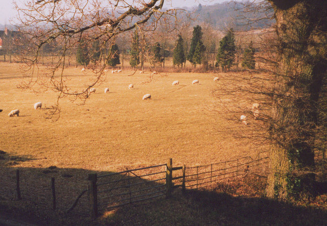
Hawksmeet Ghyll Images
Images are sourced within 2km of 51.223027/-0.072148748 or Grid Reference TQ3448. Thanks to Geograph Open Source API. All images are credited.


Hawksmeet Ghyll is located at Grid Ref: TQ3448 (Lat: 51.223027, Lng: -0.072148748)
Administrative County: Surrey
District: Tandridge
Police Authority: Surrey
What 3 Words
///rival.pepper.cards. Near Godstone, Surrey
Nearby Locations
Related Wikis

Graeme Hendrey Wood
Graeme Hendrey Wood is a 10-hectare (25-acre) nature reserve east of Bletchingley in Surrey. It is managed by the Surrey Wildlife Trust.This former sand...

Tilburstow Hill
Tilburstow Hill is a 9-hectare (22-acre) nature reserve south-east of Godstone in Surrey. It is managed by the Surrey Wildlife Trust.This is a semi-natural...

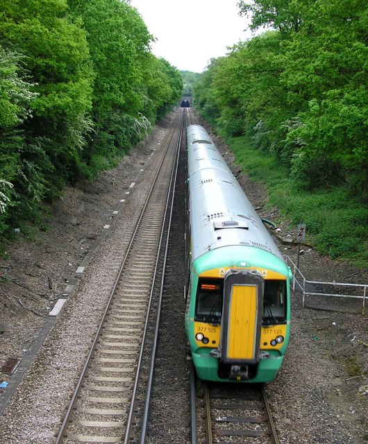
Godstone railway station
Godstone railway station is on the Redhill to Tonbridge Line and serves Godstone in Surrey, England. It is 28 miles 13 chains (28.16 miles, 45.32 km) measured...

Godstone Ponds
Godstone Ponds is a 13.6-hectare (34-acre) biological Site of Special Scientific Interest in Godstone in Surrey. Bay Pond is an educational nature reserve...
Bletchingley
Bletchingley (historically "Blechingley") is a village in Surrey, England. It is on the A25 road to the east of Redhill and to the west of Godstone, has...
1929 Luft Hansa Junkers G 24 crash
The 1929 Luft Hansa Junkers G.24 crash occurred on 6 November 1929 when a Junkers G 24 of Luft Hansa crashed at Godstone, Surrey, United Kingdom while...

Bay Pond
Bay Pond is a 7-hectare (17-acre) nature reserve in Godstone in Surrey. It is managed by the Surrey Wildlife Trust. It is part of Godstone Ponds Site...

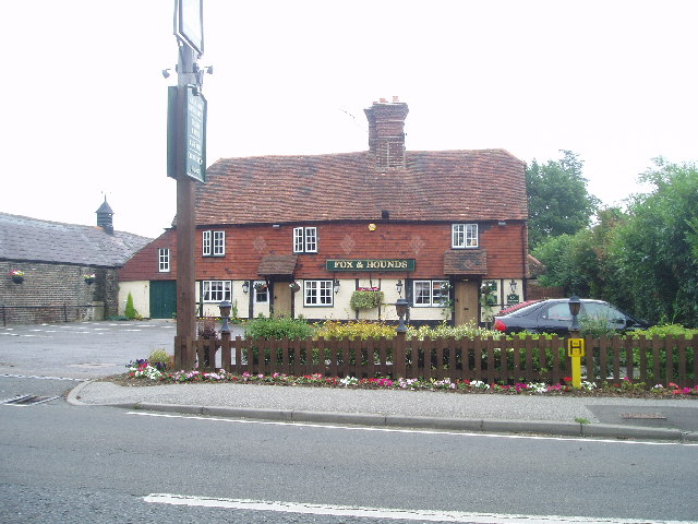
Godstone
Godstone is a village and civil parish in the Tandridge District of Surrey, England. It is 6 miles (9.7 km) east of Reigate, 3 miles (4.8 km) west of Oxted...
Nearby Amenities
Located within 500m of 51.223027,-0.072148748Have you been to Hawksmeet Ghyll?
Leave your review of Hawksmeet Ghyll below (or comments, questions and feedback).