Four Acre Wood

Wood, Forest in Surrey Tandridge

England

Four Acre Wood

Fox and Hounds at South Godstone This building has served ale since the 17th century. On the Tilburstow Hill Road and well worth the diversion !
Fox and Hounds at South Godstone Credit: Nigel Freeman

Four Acre Wood is a charming woodland located in the county of Surrey, England. Situated in the southeastern part of the county, the wood covers an area of approximately four acres, as its name suggests. It is part of the vast network of woodlands that dot the picturesque Surrey landscape.

The wood boasts a rich variety of tree species, including oak, beech, and birch, creating a diverse and enchanting environment. The dense foliage provides a haven for numerous wildlife species, making it a popular destination for nature enthusiasts and birdwatchers.

Visitors to Four Acre Wood can explore its network of walking trails, which meander through the lush greenery and offer breathtaking views of the surrounding countryside. These trails provide an opportunity to immerse oneself in nature and enjoy the peace and tranquility that the wood offers.

In addition to its natural beauty, Four Acre Wood also holds historical significance. It is believed to have been part of the ancient woodland that covered much of Surrey during medieval times. The wood's history can be glimpsed through remnants of old trees and woodland features, connecting visitors to the past.

Four Acre Wood is easily accessible, with a car park located nearby, ensuring convenience for those wishing to visit. Whether it's a leisurely walk, wildlife spotting, or simply a desire to reconnect with nature, Four Acre Wood provides a serene and captivating setting for all who venture into its realm.

If you have any feedback on the listing, please let us know in the comments section below.

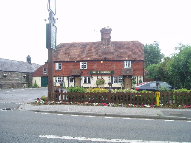
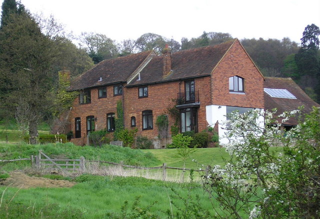
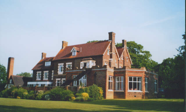
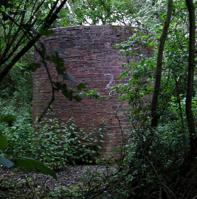
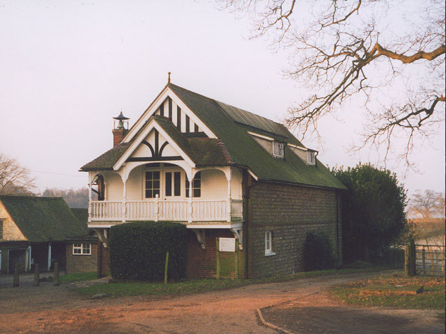
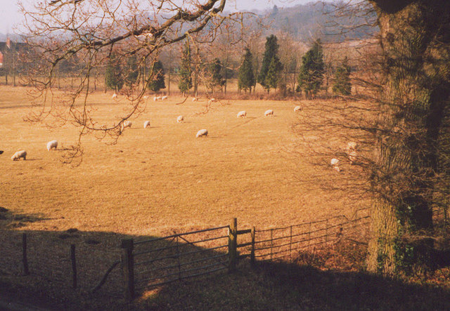
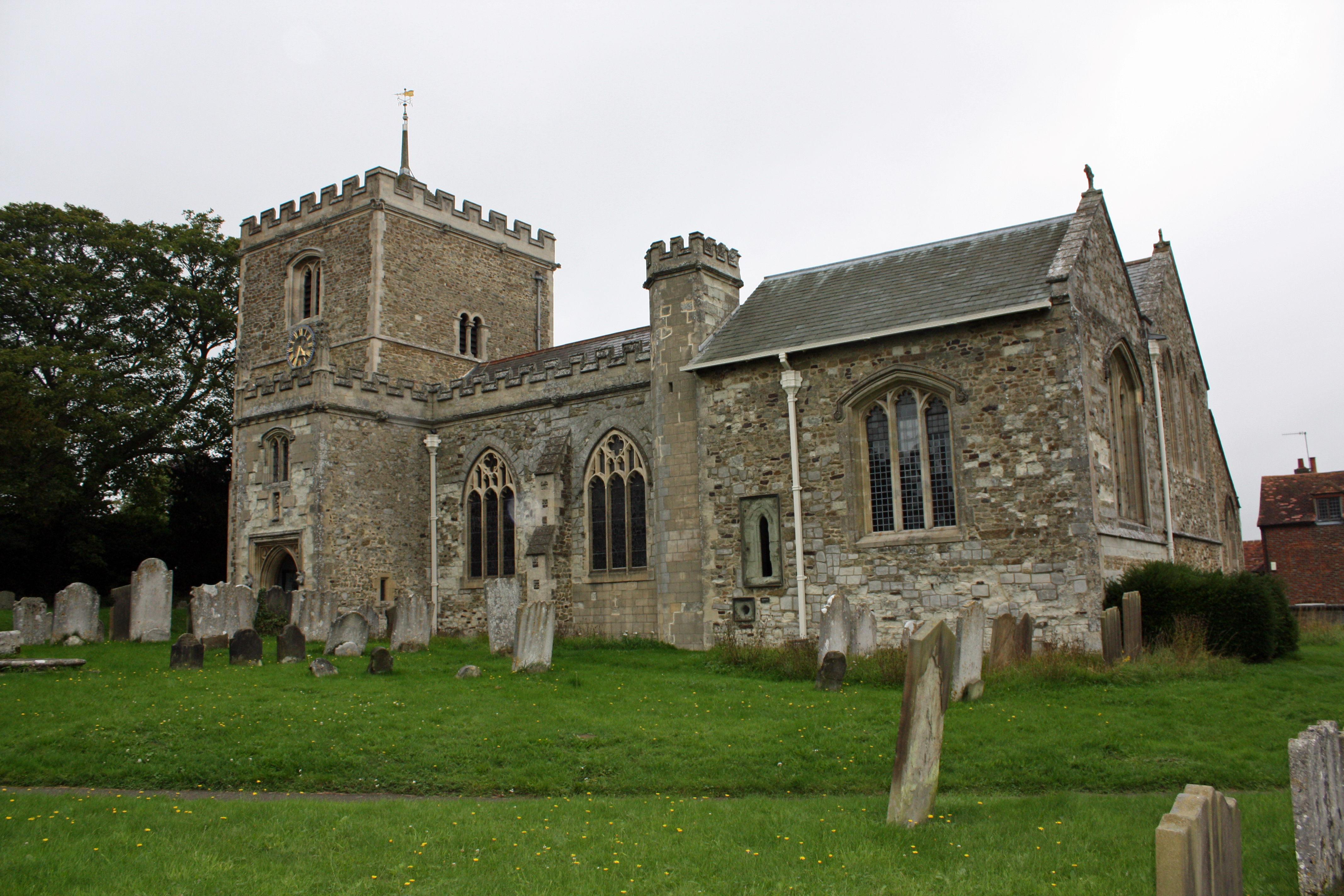
Four Acre Wood Images

Images are sourced within 2km of 51.219396/-0.081579891 or Grid Reference TQ3448. Thanks to Geograph Open Source API. All images are credited.

Fox and Hounds at South Godstone This building has served ale since the 17th century. On the Tilburstow Hill Road and well worth the diversion !
Fox and Hounds at South Godstone
This building has served ale since the 17th century. On the Tilburstow Hill Road and well worth the diversion !
Coldharbour Farm now a private house
Coldharbour Farm
now a private house
from bridge in Outwood Lane Unlikely though it may seem this, the Redhill to Tonbridge Line <span class="nowrap"><a title="http://en.wikipedia.org/wiki/Redhill_to_Tonbridge_Line" rel="nofollow ugc noopener" href="http://en.wikipedia.org/wiki/Redhill_to_Tonbridge_Line">Link</a><img style="margin-left:2px;" alt="External link" title="External link - shift click to open in new window" src="https://s1.geograph.org.uk/img/external.png" width="10" height="10"/></span> , was part of the first rail route from London to Dover. The planners were not interested in serving the settlements en route so it takes a remarkably straight route. The Bletchingley Tunnel can be seen in the background - see <a href="https://www.geograph.org.uk/photo/206453">TQ3348 : Air shaft of Bletchingley Tunnel</a>.
from bridge in Outwood Lane
Unlikely though it may seem this, the Redhill to Tonbridge Line LinkExternal link , was part of the first rail route from London to Dover. The planners were not interested in serving the settlements en route so it takes a remarkably straight route. The Bletchingley Tunnel can be seen in the background - see TQ3348 : Air shaft of Bletchingley Tunnel.
St Mark's Foundation A private chapel at South Park Farm, listed grade II and occasionally used for public services.
St Mark's Foundation
A private chapel at South Park Farm, listed grade II and occasionally used for public services.
Wychcroft Retreat House Anglican Diocese of Southwark Retreat House used for residential training and quiet days
Wychcroft Retreat House
Anglican Diocese of Southwark Retreat House used for residential training and quiet days
Lower South Park A substantial old property near Godstone, connected via a bridleway to South Park itself
Lower South Park
A substantial old property near Godstone, connected via a bridleway to South Park itself
Beside Outwood Lane A lone and rather sick tree in the park land south of Bletchingley
Beside Outwood Lane
A lone and rather sick tree in the park land south of Bletchingley
Air shaft of Bletchingley Tunnel When the Bletchingley railway tunnel <span class="nowrap"><a title="http://en.wikipedia.org/wiki/Redhill_to_Tonbridge_Line" rel="nofollow ugc noopener" href="http://en.wikipedia.org/wiki/Redhill_to_Tonbridge_Line">Link</a><img style="margin-left:2px;" alt="External link" title="External link - shift click to open in new window" src="https://s1.geograph.org.uk/img/external.png" width="10" height="10"/></span> was made in the 1830s trains were steam powered and slow by today's standards. Although the tunnel is just over a kilometre long, eleven air shafts were provided to vent the smoke. This is Shaft No. 2. The tunnel can be seen in <a href="https://www.geograph.org.uk/photo/174476">TQ3248 : from bridge in Outwood Lane</a>.
Air shaft of Bletchingley Tunnel
When the Bletchingley railway tunnel LinkExternal link was made in the 1830s trains were steam powered and slow by today's standards. Although the tunnel is just over a kilometre long, eleven air shafts were provided to vent the smoke. This is Shaft No. 2. The tunnel can be seen in TQ3248 : from bridge in Outwood Lane.
Outwood Lane, Surrey Outwood Lane is not a classified road, but it sees plenty of use as it connects the picture-book village of Outwood with the A25.  It is seen here  looking north in a quiet moment.
Outwood Lane, Surrey
Outwood Lane is not a classified road, but it sees plenty of use as it connects the picture-book village of Outwood with the A25. It is seen here looking north in a quiet moment.
Bridleway alongside an oak wood, Surrey This lane is the western limb of a tangle of bridleways that straggle across country for many miles north and east of the village of Outwood.  This western section probably sees less use by riders than the main network, as it debouches onto the rather busy Outwood Lane, a motor road where, sadly, not all drivers show proper courtesy to equestrians.
Bridleway alongside an oak wood, Surrey
This lane is the western limb of a tangle of bridleways that straggle across country for many miles north and east of the village of Outwood. This western section probably sees less use by riders than the main network, as it debouches onto the rather busy Outwood Lane, a motor road where, sadly, not all drivers show proper courtesy to equestrians.
Lane past Tanglewood Stables, Surrey Go for a ramble or cycle ride in this part of Surrey and you will very likely see more horses than cows, sheep or even motor cars.  And most of the animals will be in first-class condition as befits this important horse-breeding and rearing area.
Lane past Tanglewood Stables, Surrey
Go for a ramble or cycle ride in this part of Surrey and you will very likely see more horses than cows, sheep or even motor cars. And most of the animals will be in first-class condition as befits this important horse-breeding and rearing area.
Houses in Terra Cotta Road, Surrey Terra Cotta Road leads westwards off Tilburstow Hill Road.  It continues past these houses to end in a small business park.  These houses are probably the nearest you will get to 'affordable' houses in the Godstone area - but you will get a shock if you enquire the price.
Houses in Terra Cotta Road, Surrey
Terra Cotta Road leads westwards off Tilburstow Hill Road. It continues past these houses to end in a small business park. These houses are probably the nearest you will get to 'affordable' houses in the Godstone area - but you will get a shock if you enquire the price.
Paddocks, Tanglewood Stables
Grounds of Tanglewood Stables
The chapel at Wychcroft An unusual private chapel, dedicated to the People of God, part of the Southwark diocesan retreat house and training centre.
The chapel at Wychcroft
An unusual private chapel, dedicated to the People of God, part of the Southwark diocesan retreat house and training centre.
Sheep grazing at Wychcroft A pastoral scene near Bletchingley.
Sheep grazing at Wychcroft
A pastoral scene near Bletchingley.
Bridleway towards Lower South Park A well used, fenced bridleway connecting two roads, that could better be described as a green lane, and perhaps surprisingly is not classified as a byway.
Bridleway towards Lower South Park
A well used, fenced bridleway connecting two roads, that could better be described as a green lane, and perhaps surprisingly is not classified as a byway.
Bletchingley 3 natural gas well Inside the small enclosure, seen through the gates to the larger area. Currently operated by Star Energy.
Bletchingley 3 natural gas well
Inside the small enclosure, seen through the gates to the larger area. Currently operated by Star Energy.
Show me another place!

Four Acre Wood is located at Grid Ref: TQ3448 (Lat: 51.219396, Lng: -0.081579891)

Administrative County: Surrey

District: Tandridge

Police Authority: Surrey

What 3 Words

///kinks.notice.senior. Near Bletchingley, Surrey

Related Wikis

Graeme Hendrey Wood

Graeme Hendrey Wood is a 10-hectare (25-acre) nature reserve east of Bletchingley in Surrey. It is managed by the Surrey Wildlife Trust.This former sand...

Tilburstow Hill

Tilburstow Hill is a 9-hectare (22-acre) nature reserve south-east of Godstone in Surrey. It is managed by the Surrey Wildlife Trust.This is a semi-natural...

Godstone railway station

Godstone railway station is on the Redhill to Tonbridge Line and serves Godstone in Surrey, England. It is 28 miles 13 chains (28.16 miles, 45.32 km) measured...

Bletchingley

Bletchingley (historically "Blechingley") is a village in Surrey, England. It is on the A25 road to the east of Redhill and to the west of Godstone, has...

Bletchingley Castle

Bletchingley Castle is a ruined castle and set of earthworks partly occupied by three buildings. The Scheduled Ancient Monument is directly beside the...

Godstone Ponds

Godstone Ponds is a 13.6-hectare (34-acre) biological Site of Special Scientific Interest in Godstone in Surrey. Bay Pond is an educational nature reserve...

Brewing Industry Research Foundation

The Brewing Industry Research Foundation is now part of Campden BRI, a research association serving all sectors of the food and drink industry. The Brewing...

Outwood Windmill

Outwood Windmill is a Grade I listed post mill in Outwood, Surrey. Built in 1665 by Thomas Budgen, a miller from Nutfield in Surrey, it is Britain's oldest...

Related Videos

Walking Bletchingley High St, Surrey, UK - Slow TV

Continuing the High Street series we've in the lovely Surrey village of Bletchingley, east of Redhill. There are a number of 16th ...

Walking around Godstone Farm || Jalan jalan ke peternakan di Inggris || Lolita’s Vlog #30

GODSTONE FARM Farm Limited, Tilburstow hill road Godstone RH9 8LX https://www.godstonefarm.co.uk.

Nearby Amenities

Located within 500m of 51.219396,-0.081579891
South Park Farm
Place: farm
Source: npe
Lat/Long: 51.2222956/-0.0808924
Material: brick
Lat/Long: 51.2228322/-0.0799174
Bench
Backrest: yes
Material: wood
Seats: 2
Lat/Long: 51.2229835/-0.0798963
The data included in this document is from www.openstreetmap.org. The data is made available under ODbL.

Have you been to Four Acre Wood?

Leave your review of Four Acre Wood below (or comments, questions and feedback).