Racehill Valley
Valley in Sussex
England
Racehill Valley
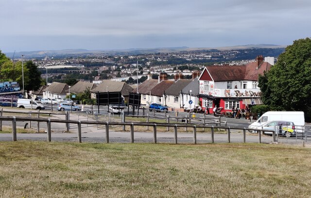
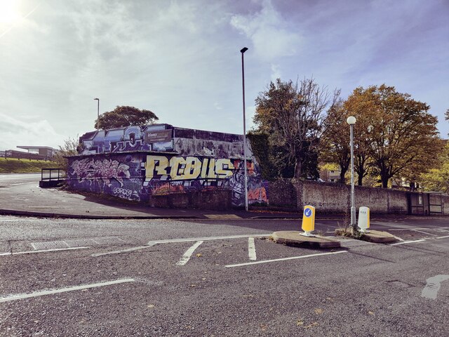
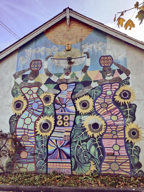
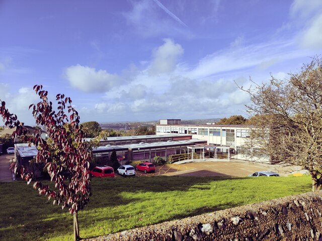
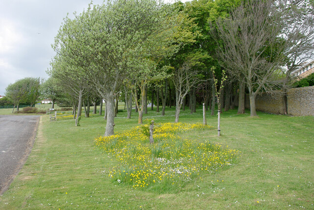
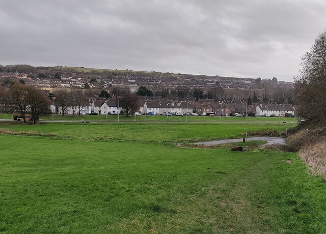
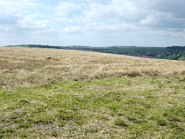
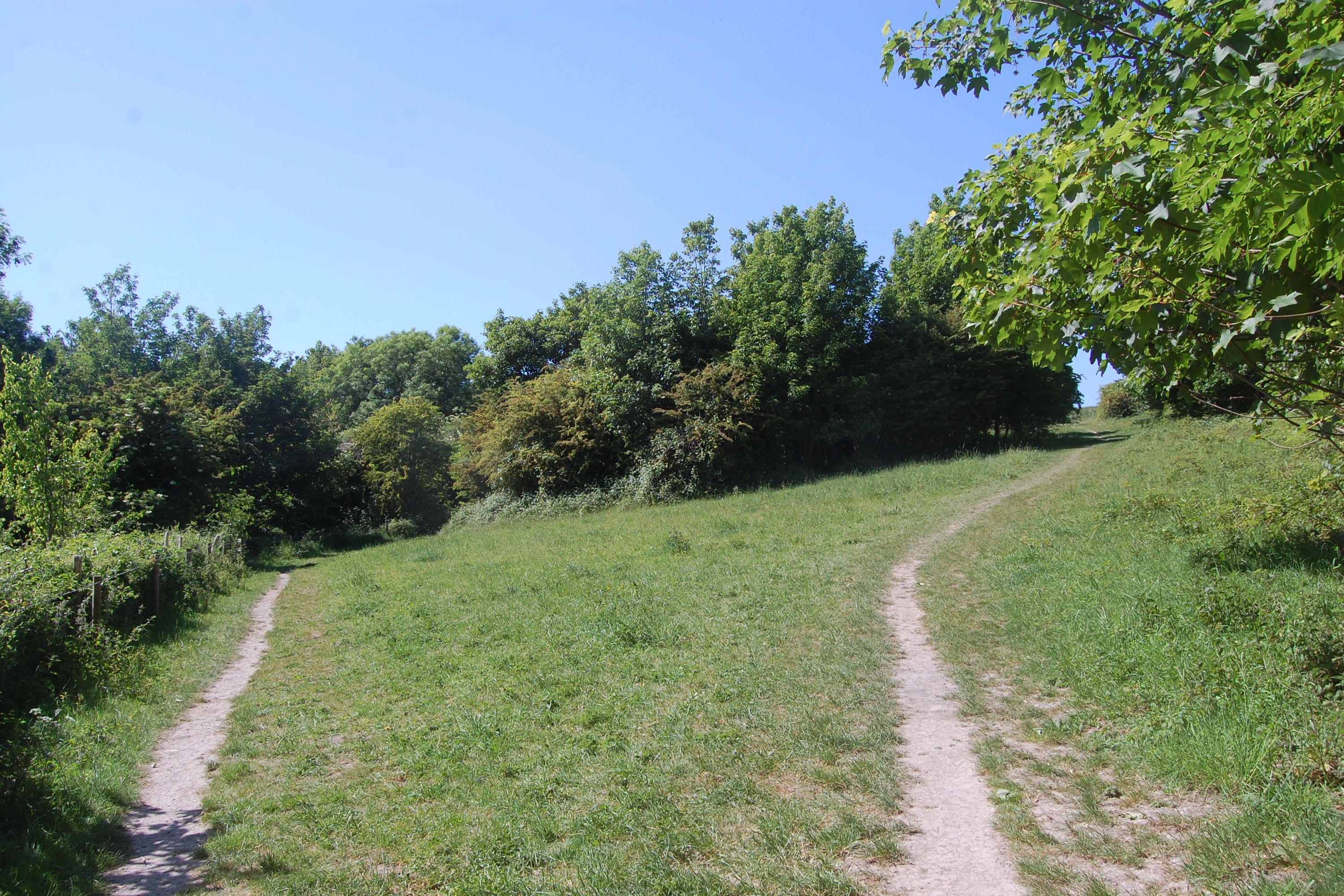
Racehill Valley is a picturesque valley located in the county of Sussex, England. Situated in close proximity to the bustling city of Brighton and Hove, this valley offers a tranquil escape from urban life. With its lush greenery, rolling hills, and meandering streams, Racehill Valley is a haven for nature enthusiasts and outdoor lovers.
The valley is encompassed by a diverse range of flora and fauna, making it a perfect spot for wildlife enthusiasts. The area is home to a variety of bird species, including owls, kestrels, and woodpeckers, making it a popular destination for birdwatchers. Additionally, the valley boasts an array of plant life, with wildflowers and ancient woodland creating a picturesque landscape.
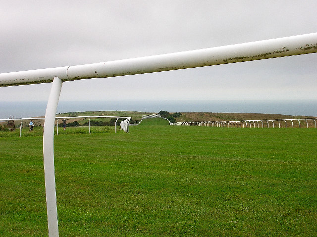
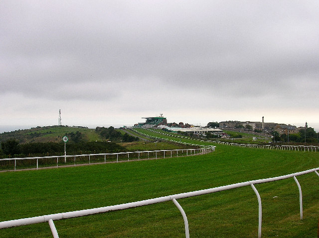
Visitors to Racehill Valley can enjoy a range of recreational activities. The valley offers numerous walking and hiking trails, allowing visitors to explore its natural beauty at their own pace. For those seeking a more adrenaline-fueled experience, the valley also offers opportunities for mountain biking and horseback riding.
In addition to its natural attractions, Racehill Valley is also home to a vibrant community. The valley is dotted with charming villages and hamlets, where visitors can immerse themselves in the local culture and enjoy traditional Sussex hospitality.
Overall, Racehill Valley is a hidden gem in Sussex, offering a unique combination of natural beauty, recreational activities, and a welcoming community. Whether it's a leisurely stroll through the countryside or an adventure-packed day of mountain biking, this valley has something to offer for everyone.
If you have any feedback on the listing, please let us know in the comments section below.
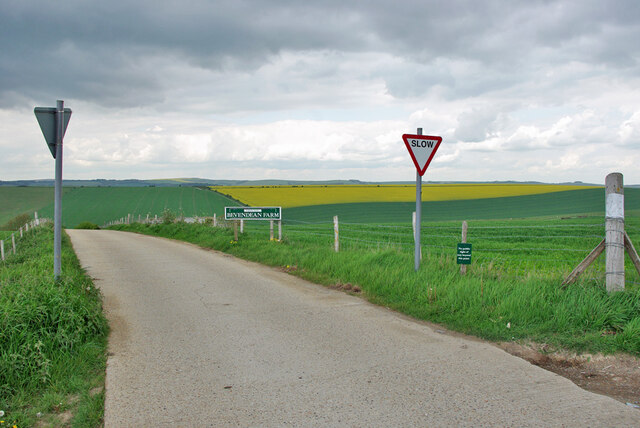
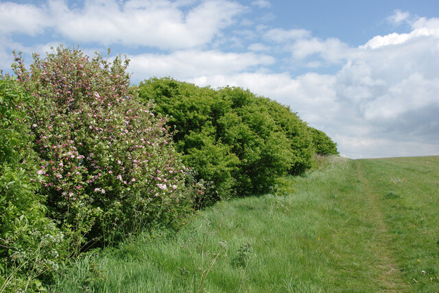
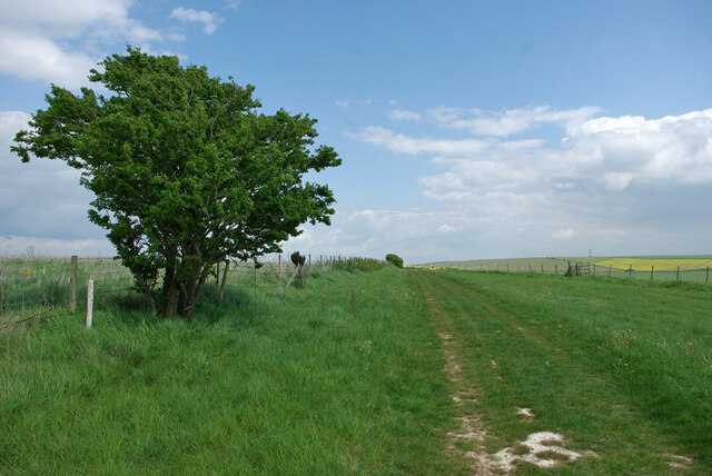
Racehill Valley Images
Images are sourced within 2km of 50.838268/-0.10005027 or Grid Reference TQ3306. Thanks to Geograph Open Source API. All images are credited.
Racehill Valley is located at Grid Ref: TQ3306 (Lat: 50.838268, Lng: -0.10005027)
Unitary Authority: Brighton and Hove
Police Authority: Sussex
What 3 Words
///career.inches.shared. Near Brighton, East Sussex
Nearby Locations
Related Wikis

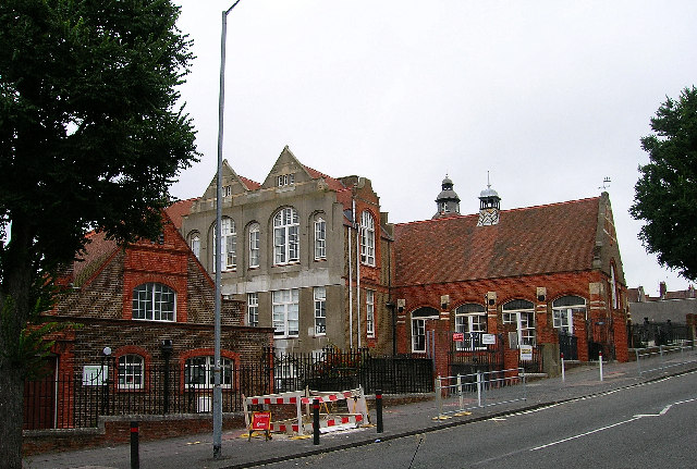
Bevendean
Bevendean is a district of the city of Brighton and Hove, in East Sussex, England. The estate lies to the north-east of central Brighton, and was largely...
Bevendean Down
Bevendean Down is a 64.6-hectare (160-acre) Local Nature Reserve in the Bevendean district in Brighton, East Sussex and is within the boundaries of the...

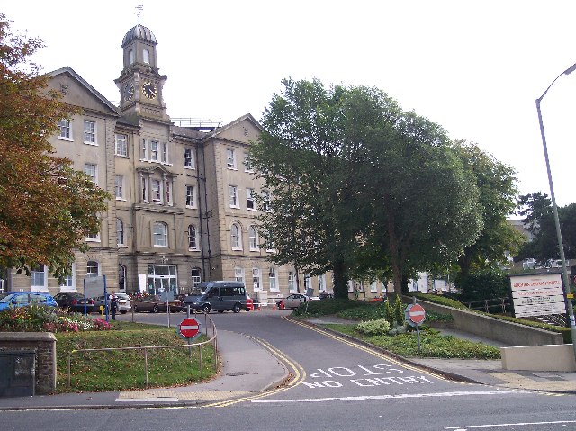
Bear Road, Brighton
The Bear Road area is a largely residential area in the east of Brighton, part of the English city of Brighton and Hove. Centred on the steep west–east...
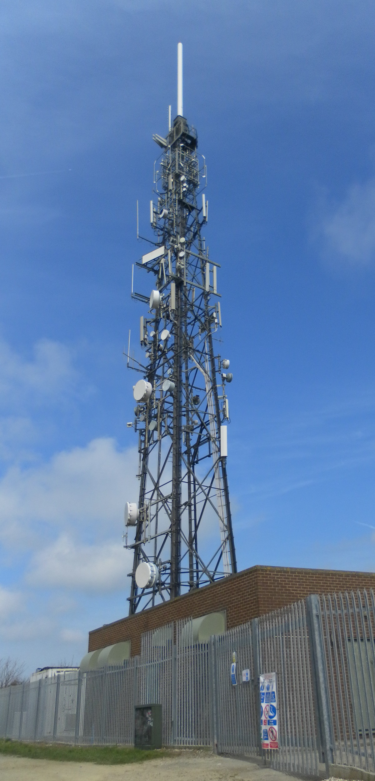
Whitehawk Hill transmitting station
The Whitehawk Hill transmitting station (also known as the Whitehawk transmitting station) is a broadcasting and telecommunications facility located at...
Nearby Amenities
Located within 500m of 50.838268,-0.10005027Have you been to Racehill Valley?
Leave your review of Racehill Valley below (or comments, questions and feedback).