Ham Bottom
Valley in Surrey
England
Ham Bottom

Ham Bottom is a picturesque valley located in Surrey, England. It is nestled amidst the rolling hills and lush greenery of the Surrey countryside. The valley is situated near the village of Ham, which lies just a few miles south of Guildford.
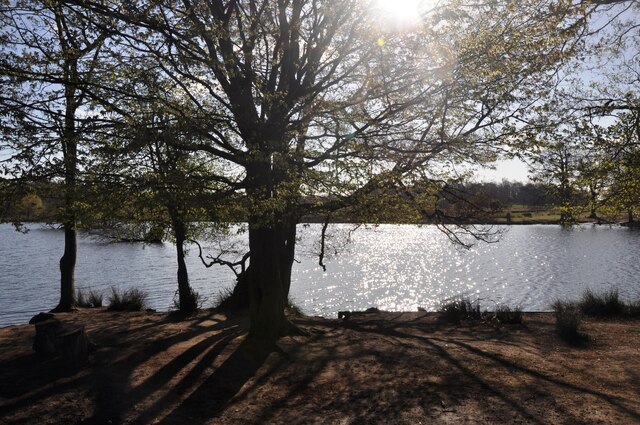
Ham Bottom is characterized by its natural beauty and tranquil atmosphere. The valley is surrounded by woodlands, meadows, and fields, offering a haven for wildlife and nature enthusiasts. It is home to various species of birds, butterflies, and small mammals, making it a popular spot for birdwatching and wildlife observation.
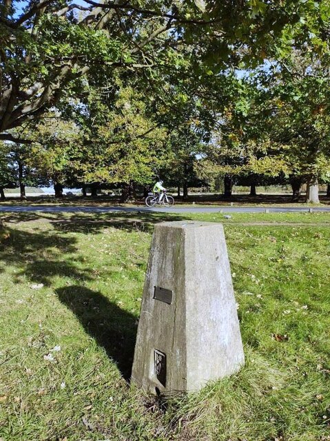
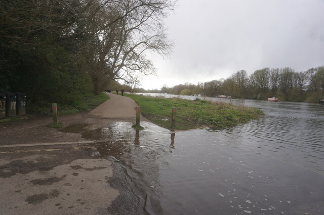
The valley is crisscrossed by a network of walking trails and footpaths, allowing visitors to explore the area and enjoy its stunning vistas. One of the highlights of Ham Bottom is its charming river, which gently flows through the valley, adding to its idyllic charm.
The valley is also known for its historical significance. It has been inhabited for centuries, and archaeological discoveries have revealed traces of human settlement dating back to the Iron Age. The area is dotted with ancient burial mounds and remnants of prehistoric structures, showcasing its rich heritage.
Ham Bottom is a peaceful retreat away from the hustle and bustle of urban life. It offers a serene setting for picnics, leisurely walks, and nature photography. Visitors can soak in the beauty of the surrounding countryside, breathe in the fresh air, and appreciate the simplicity and tranquility of this hidden gem in Surrey.
If you have any feedback on the listing, please let us know in the comments section below.
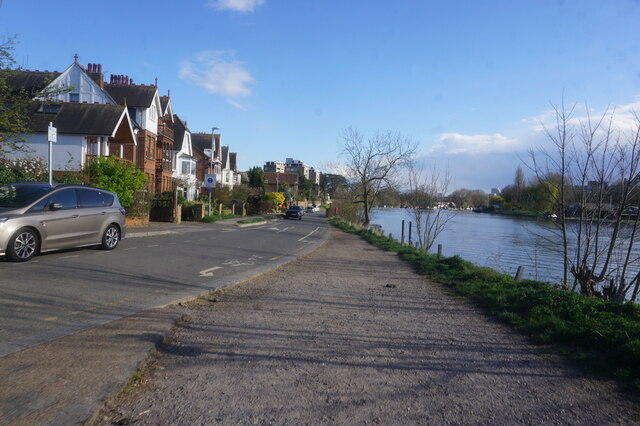
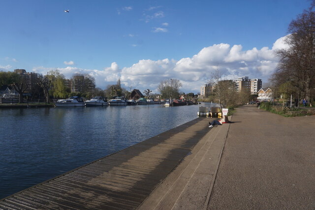
Ham Bottom Images
Images are sourced within 2km of 51.434003/-0.29033551 or Grid Reference TQ1871. Thanks to Geograph Open Source API. All images are credited.


Ham Bottom is located at Grid Ref: TQ1871 (Lat: 51.434003, Lng: -0.29033551)
Unitary Authority: Richmond upon Thames
Police Authority: Metropolitan
What 3 Words
///fund.work.highs. Near Kingston upon Thames, London
Nearby Locations
Related Wikis

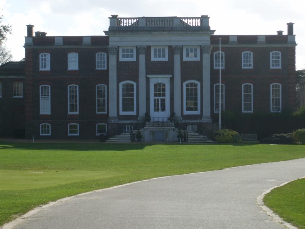
Latchmere House
Latchmere House is a building and grounds southeast of Ham Common in Ham, in the London Borough of Richmond upon Thames, in south west London, England...
Sudbrook Park, Petersham
Sudbrook Park in Petersham (now in the London Borough of Richmond upon Thames) was developed by John Campbell, 2nd Duke of Argyll in the early 18th century...

Richmond Golf Club
The Richmond Golf Club is a private golf club whose 18-hole course now occupies the historic Sudbrook Park adjacent to Richmond Park, in Petersham, south...

Thatched House Lodge
Thatched House Lodge is a Grade II-listed building, dating from the 17th century, in Richmond Park in the London Borough of Richmond upon Thames in London...
Nearby Amenities
Located within 500m of 51.434003,-0.29033551Have you been to Ham Bottom?
Leave your review of Ham Bottom below (or comments, questions and feedback).