Lillington

Settlement in Dorset

England

Lillington

Stockbridge
Stockbridge Credit: Richard Webb

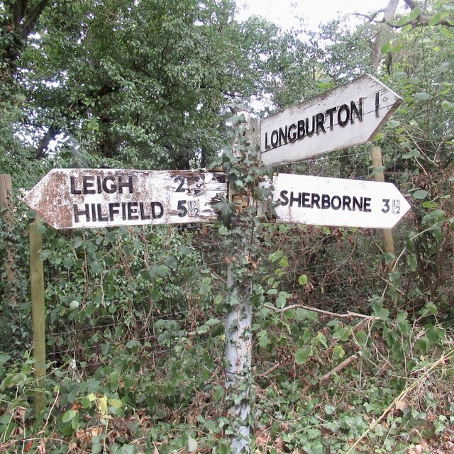
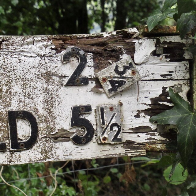
Lillington is a small village located in the county of Dorset, England. Situated approximately 3 miles northwest of the town of Sherborne, Lillington enjoys a picturesque rural setting amidst the rolling countryside of the region. With a population of around 300 residents, the village boasts a tight-knit and friendly community.

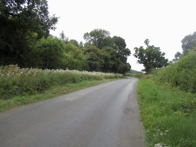
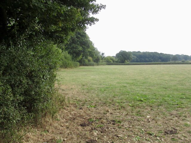
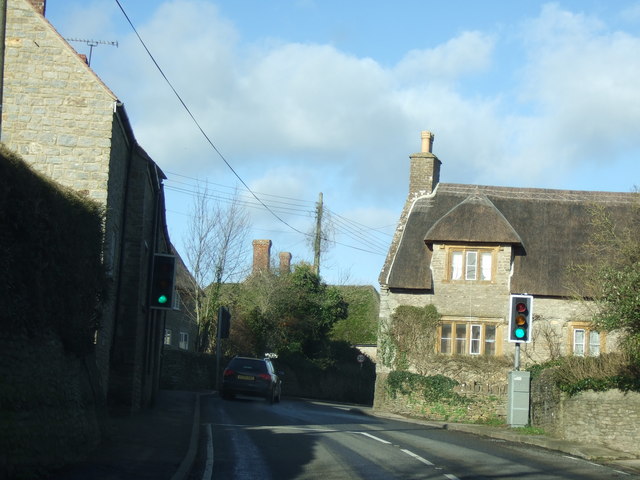
Lillington is characterized by its charming traditional cottages, many of which date back to the 18th and 19th centuries, giving the village a timeless and quaint atmosphere. The village is surrounded by lush green fields and farmland, providing residents with stunning views of the Dorset landscape.

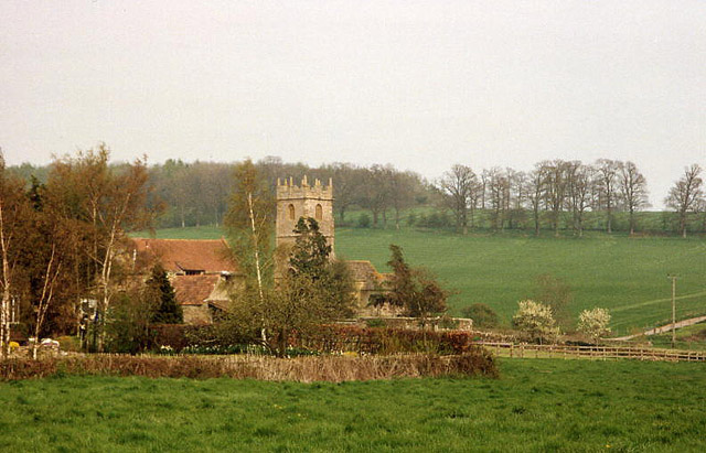
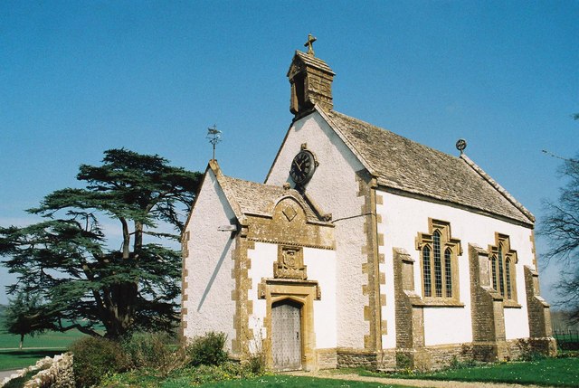
The heart of Lillington is the village church, St. Martin's, which stands as a focal point and a testament to the village's rich history. The church, with its striking architecture and beautiful stained glass windows, offers a place of worship and community gathering.

Despite its small size, Lillington offers a range of amenities to its residents. These include a village hall, where various events and community activities take place, and a local pub where locals and visitors can enjoy a pint and a friendly chat.

Lillington is ideally located for those seeking a peaceful and rural lifestyle, while still having access to nearby towns and cities. With its idyllic setting, strong community spirit, and historical charm, Lillington is a place that captures the essence of rural Dorset.

If you have any feedback on the listing, please let us know in the comments section below.

Lillington Images

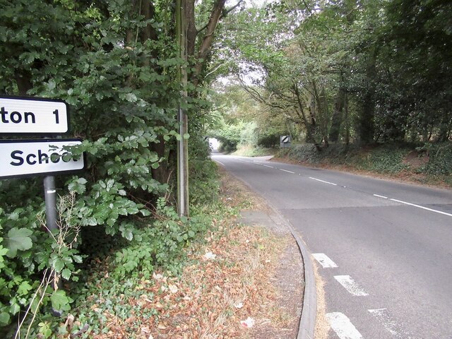
Images are sourced within 2km of 50.91297/-2.5289047 or Grid Reference ST6212. Thanks to Geograph Open Source API. All images are credited.

Stockbridge
Stockbridge
Field, Stockbridge
Field, Stockbridge
Signpost, Dyke Head Plantation It has deteriorated since this: <a href="https://www.geograph.org.uk/photo/1192471">ST6411 : Signpost near Lillington</a> was taken in 2009.
Signpost, Dyke Head Plantation
It has deteriorated since this: ST6411 : Signpost near Lillington was taken in 2009.
Falling a fraction The signpost at Dyke Hill Plantation is in not so good condition as it was in 2009 <a href="https://www.geograph.org.uk/photo/1192471">ST6411 : Signpost near Lillington</a>
Falling a fraction
The signpost at Dyke Hill Plantation is in not so good condition as it was in 2009 ST6411 : Signpost near Lillington
Wait until they find out about wind farms I did not realise that photovoltaics were upsetting. A few weeks later this became a political issue under the short-lived premiership of Ms Truss (look her up*).

They should be grateful that they have so much sun.


*In the time between taking this picture and submitting it, we had lost a monarch and had three Prime Ministers.
Wait until they find out about wind farms
I did not realise that photovoltaics were upsetting. A few weeks later this became a political issue under the short-lived premiership of Ms Truss (look her up*). They should be grateful that they have so much sun. *In the time between taking this picture and submitting it, we had lost a monarch and had three Prime Ministers.
Road, Leweston
Road, Leweston
Dyke Head Plantation and Bradford Lane
Farm buildings, Little Burton
A352 north of Longburton
Stile and gate, Windmill Hill
Fields, Windmill Hill Forage maize in the background.
Fields, Windmill Hill
Forage maize in the background.
Honeycombe Wood A lovely woodland and with complex contours. It has been quarried in the past.
Honeycombe Wood
A lovely woodland and with complex contours. It has been quarried in the past.
Path, Honeycombe Wood
Near the summit, Honeycombe  Tout Complex contouring in what was once a quarry.
Near the summit, Honeycombe Tout
Complex contouring in what was once a quarry.
Honeycombe Wood taken from Lenthay Common, Sherborne
Lillington: church and hamlet The centre of a small parish south of Sherborne; Lower Farm and the church are the main features here. The parish is bordered by the even smaller Leweston, to the east, on the hill
Lillington: church and hamlet
The centre of a small parish south of Sherborne; Lower Farm and the church are the main features here. The parish is bordered by the even smaller Leweston, to the east, on the hill
Longburton traffic lights on the narrow bend The road goes around this lovely house and is so narrow that it is only one lane wide and traffic lights have had to be installed.
Longburton traffic lights on the narrow bend
The road goes around this lovely house and is so narrow that it is only one lane wide and traffic lights have had to be installed.
Road north out of Longburton towards Sherborne
Show me another place!

Lillington is located at Grid Ref: ST6212 (Lat: 50.91297, Lng: -2.5289047)

Unitary Authority: Dorset

Police Authority: Dorset

What 3 Words

///enhances.smoker.relieves. Near Sherborne, Dorset

Nearby Locations

Lillington

Related Wikis

Lillington, Dorset

Lillington is a hamlet and civil parish in north west Dorset, England, situated 3 miles (4.8 km) south of Sherborne. Dorset County Council estimate that...

Leweston School

Leweston School is an independent day and boarding school near Sherborne in Dorset, England. The school is co-educational in the Nursery and Preparatory...

Longburton

Longburton or Long Burton is a village in Dorset, England, three miles (5 km) south of Sherborne. It is sited on a narrow outcrop of Cornbrash limestone...

Thornford

Thornford is a village and civil parish in north west Dorset, England, situated in the Yeo valley 4 miles (6.4 km) southwest of Sherborne. Dorset County...

Nearby Amenities

Located within 500m of 50.91297,-2.5289047
Lillington
Place: village
Source: NPE
Lat/Long: 50.9132533/-2.5316704
Entrance: main
Lat/Long: 50.9126964/-2.5283471
Power: pole
Lat/Long: 50.9119462/-2.5260454
Power: pole
Lat/Long: 50.9120899/-2.5238594
Power: pole
Lat/Long: 50.9121643/-2.5228617
Power: pole
Lat/Long: 50.9122472/-2.5218639
The data included in this document is from www.openstreetmap.org. The data is made available under ODbL.

Have you been to Lillington?

Leave your review of Lillington below (or comments, questions and feedback).