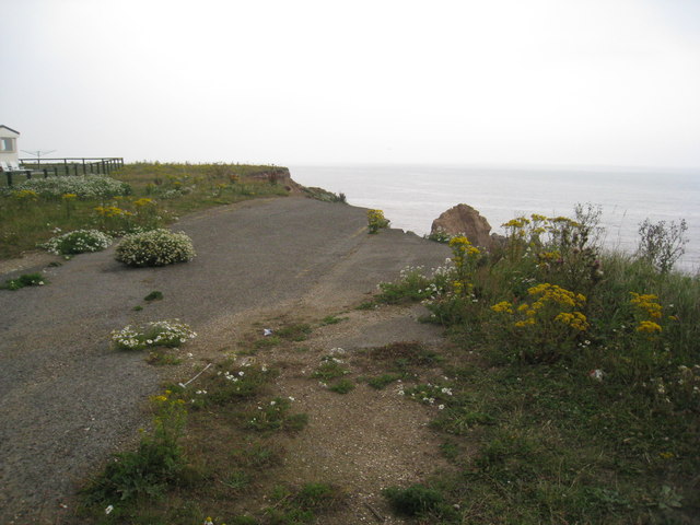
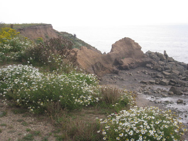
Trusey Bottom
Valley in Yorkshire
England
Trusey Bottom
The requested URL returned error: 429 Too Many Requests
If you have any feedback on the listing, please let us know in the comments section below.
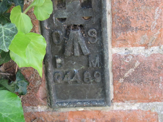
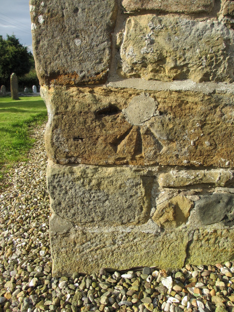
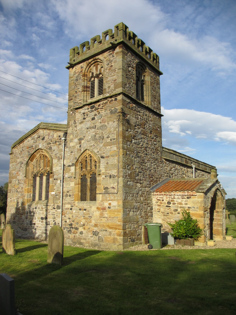
Trusey Bottom Images
Images are sourced within 2km of 54.009542/-0.22430093 or Grid Reference TA1658. Thanks to Geograph Open Source API. All images are credited.


Trusey Bottom is located at Grid Ref: TA1658 (Lat: 54.009542, Lng: -0.22430093)
Division: East Riding
Unitary Authority: East Riding of Yorkshire
Police Authority: Humberside
What 3 Words
///rewriting.detective.restrict. Near Barmston, East Yorkshire
Nearby Locations
Related Wikis

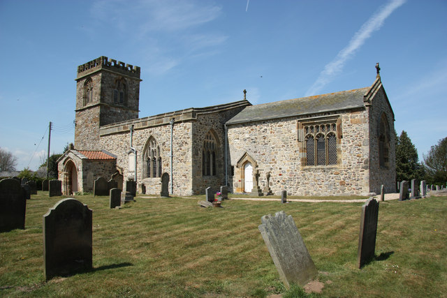
Barmston, East Riding of Yorkshire
Barmston is a village and civil parish in the East Riding of Yorkshire, England. It is situated on the Holderness coast, overlooking the North Sea and...

Ulrome
Ulrome is a village and civil parish in the East Riding of Yorkshire, England. It is situated approximately 6 miles (9.7 km) north of the town of Hornsea...

Lissett
Lissett is a village and former civil parish, now in the parish of Ulrome, in the Holderness area of the East Riding of Yorkshire, England. It is situated...

A165 road
The A165 is a road that links Scarborough and Kingston upon Hull, both in Yorkshire, England. The road is designated as a Primary Route from its junction...
Nearby Amenities
Located within 500m of 54.009542,-0.22430093Have you been to Trusey Bottom?
Leave your review of Trusey Bottom below (or comments, questions and feedback).