Moses Dell
Valley in Hertfordshire Hertsmere
England
Moses Dell
Moses Dell is a picturesque valley located in the county of Hertfordshire in England. Nestled amidst rolling hills and lush greenery, this tranquil and scenic area offers a serene escape from the hustle and bustle of city life.
The valley is named after Moses Dell, a prominent figure in the local community during the late 19th century. Dell was known for his philanthropic activities, and he played a significant role in developing the area into a popular tourist destination. His vision was to create a place where people could connect with nature and enjoy the beauty of the countryside.
Visitors to Moses Dell can explore its meandering walking trails, which wind through the valley and offer breathtaking views of the surrounding landscape. The area is home to a diverse range of flora and fauna, making it a haven for nature lovers and birdwatchers.
In addition to its natural beauty, Moses Dell boasts several amenities for visitors. There are charming picnic areas where families and friends can gather for a leisurely outdoor meal. The valley also features a quaint café that serves delicious homemade treats and refreshments.
Throughout the year, Moses Dell hosts various events and activities to engage the community and attract tourists. These include guided nature walks, art exhibitions, and local festivals that celebrate the area's rich cultural heritage.
Overall, Moses Dell in Hertfordshire is an idyllic retreat that offers a peaceful haven for those seeking a connection with nature and a respite from the hustle of daily life.
If you have any feedback on the listing, please let us know in the comments section below.
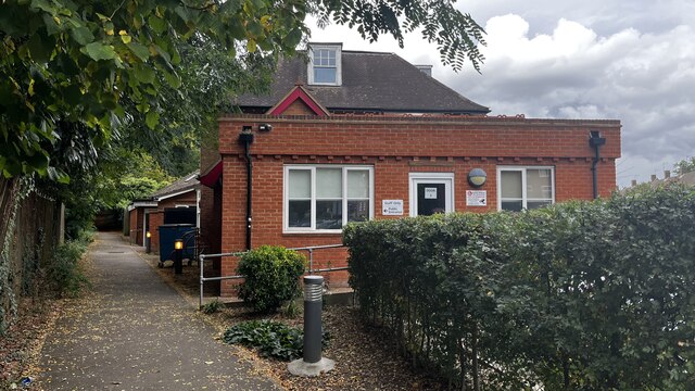
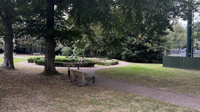
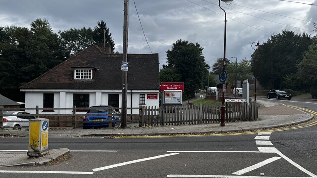
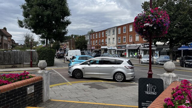
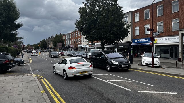
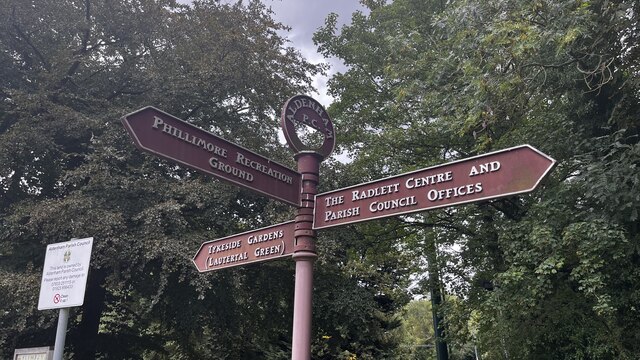
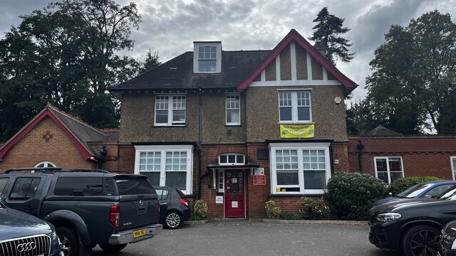
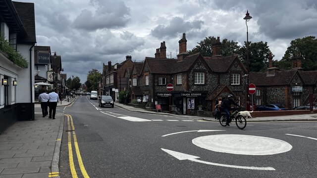
Moses Dell Images
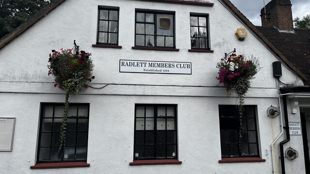
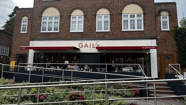
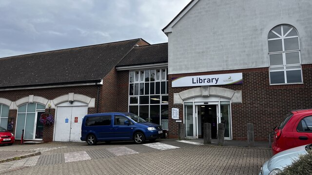
Images are sourced within 2km of 51.673114/-0.32064157 or Grid Reference TQ1698. Thanks to Geograph Open Source API. All images are credited.
Moses Dell is located at Grid Ref: TQ1698 (Lat: 51.673114, Lng: -0.32064157)
Administrative County: Hertfordshire
District: Hertsmere
Police Authority: Hertfordshire
What 3 Words
///system.stick.catch. Near Radlett, Hertfordshire
Nearby Locations
Related Wikis

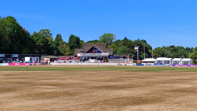
Brunton Memorial Ground
Brunton Memorial Ground is a cricket ground at Radlett in Hertfordshire. The ground is the home of Radlett Cricket Club and, since 2013, has been used...
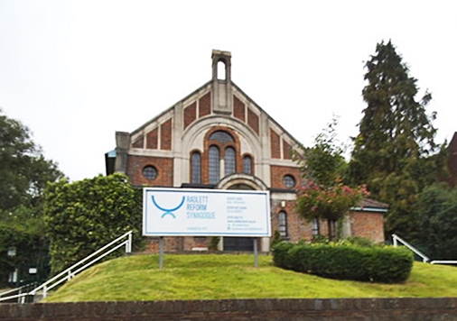
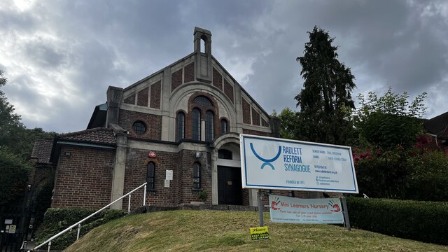
Radlett Reform Synagogue
Radlett Reform Synagogue is a synagogue in Radlett, Hertfordshire, England. It is affiliated to the Movement for Reform Judaism. Its current Senior Rabbi...

Aldenham School
Aldenham School is a co-educational independent school for pupils aged eleven to eighteen, located between Elstree and the village of Aldenham in Hertfordshire...

Letchmore Heath
Letchmore Heath is a village in Hertfordshire in England, situated about three miles east of Watford. == General == The village, consisting of about 150...
Nearby Amenities
Located within 500m of 51.673114,-0.32064157Have you been to Moses Dell?
Leave your review of Moses Dell below (or comments, questions and feedback).