Lillingstone Lovell

Settlement in Buckinghamshire

England

Lillingstone Lovell

A413 County Border Here the A413 passes between Shirehill Wood and Lovel Wood. Where the road exits these two woods (which you can just see) is the boundary between Buckinghamshire to the south and Northamptonshire to the north.
A413 County Border Credit: Rob Farrow

Lillingstone Lovell is a small village located in the county of Buckinghamshire, England. Situated about 5 miles west of Buckingham, the village is nestled in the picturesque countryside of the Aylesbury Vale.

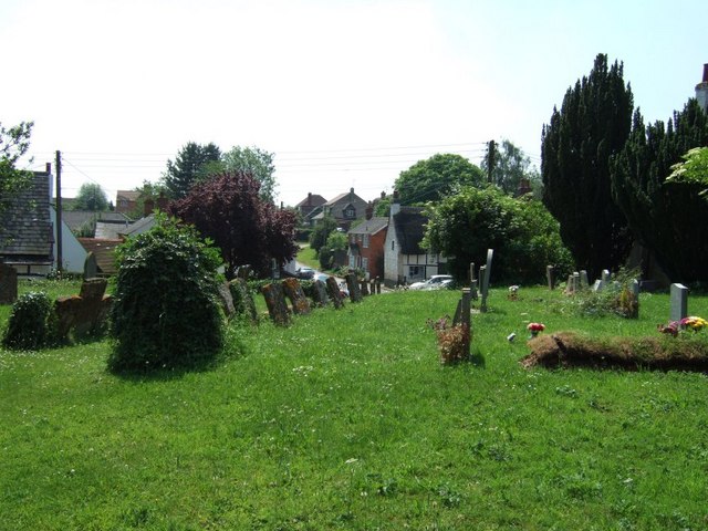
Lillingstone Lovell is known for its charming and idyllic setting. The village is surrounded by open fields, rolling hills, and lush green landscapes, making it a haven for nature lovers and those seeking a peaceful retreat. The River Great Ouse flows nearby, adding to the area's natural beauty.

One of the prominent features of Lillingstone Lovell is the historic Lillingstone Lovell Manor. Dating back to the 13th century, the manor is a Grade I listed building and showcases stunning medieval architecture. It has been remarkably preserved and stands as a testament to the village's rich history.

In addition to its historical significance, Lillingstone Lovell offers amenities for its residents and visitors. The village has a local pub, The White Hart, which serves as a community hub and offers a warm and welcoming atmosphere. There are also several footpaths and bridleways in the area, providing opportunities for outdoor activities such as walking and horse riding.

Although small in size, Lillingstone Lovell has a close-knit community that takes pride in its heritage and natural surroundings. The village's tranquil atmosphere and picturesque setting make it an appealing destination for those looking to escape the hustle and bustle of city life.

If you have any feedback on the listing, please let us know in the comments section below.

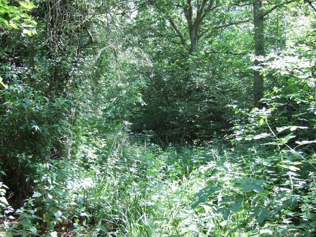
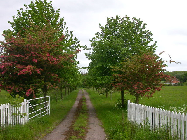
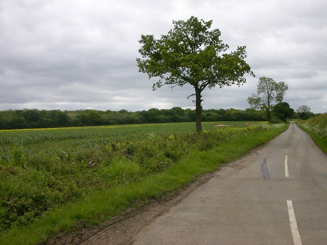
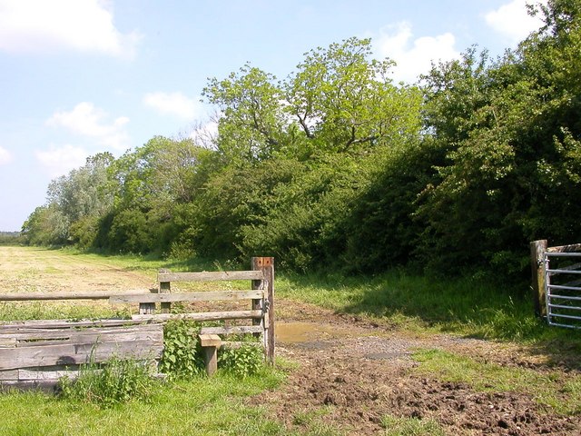
Lillingstone Lovell Images

Images are sourced within 2km of 52.058024/-0.961877 or Grid Reference SP7140. Thanks to Geograph Open Source API. All images are credited.

A413 County Border Here the A413 passes between Shirehill Wood and Lovel Wood. Where the road exits these two woods (which you can just see) is the boundary between Buckinghamshire to the south and Northamptonshire to the north.
A413 County Border
Here the A413 passes between Shirehill Wood and Lovel Wood. Where the road exits these two woods (which you can just see) is the boundary between Buckinghamshire to the south and Northamptonshire to the north.
Lovel Wood Dense undergrowth and trees in Lovel Wood beside the A413 near the Bucks/Northants border.
Lovel Wood
Dense undergrowth and trees in Lovel Wood beside the A413 near the Bucks/Northants border.
Track by Hall Farm, Lillingstone Lovell The track runs across to the A413
Track by Hall Farm, Lillingstone Lovell
The track runs across to the A413
Cottages in Lillingstone Lovell
Lillingstone Lovell church 14th century church, tower built in 1210.
Lillingstone Lovell church
14th century church, tower built in 1210.
Triangle road junction near Lillingstone Lovell The main A413 road from Buckingham to Towcester runs across the photo, the road from Lillingstone Lovell splits into two approaching it and encloses a grassy triangle.
Triangle road junction near Lillingstone Lovell
The main A413 road from Buckingham to Towcester runs across the photo, the road from Lillingstone Lovell splits into two approaching it and encloses a grassy triangle.
Cattle grid, near Lillingstone Dayrell On the track to Hall Farm from the A413 road.
Cattle grid, near Lillingstone Dayrell
On the track to Hall Farm from the A413 road.
Whittlewood Forest The lane to Townsend Nurseries.
Whittlewood Forest
The lane to Townsend Nurseries.
Lillingstone Lovell The Road towards Leckhampstead Wood.
Lillingstone Lovell
The Road towards Leckhampstead Wood.
Lillingstone Lovell The Spinney near the Manor House.
Lillingstone Lovell
The Spinney near the Manor House.
Lillingstone Lovell Thatched Cottages from the meadow.
Lillingstone Lovell
Thatched Cottages from the meadow.
Lillingstone Lovell Cottages near the Church.
Lillingstone Lovell
Cottages near the Church.
Lillingstone Lovell Houses on Brookside.
Lillingstone Lovell
Houses on Brookside.
Lillingstone Lovell The Church of The Assumption of the Blessed Virgin Mary.
Lillingstone Lovell
The Church of The Assumption of the Blessed Virgin Mary.
Lillingstone Lovell The Old School now converted to a house.
Lillingstone Lovell
The Old School now converted to a house.
Path through Shirehill Wood I don't think this path has been used in a very long time. From here you could hear the buzz of cars racing around Silverstone circuit.
Path through Shirehill Wood
I don't think this path has been used in a very long time. From here you could hear the buzz of cars racing around Silverstone circuit.
Field of wheat View to Tile House Farm, Lillingstone Dayrell.
Field of wheat
View to Tile House Farm, Lillingstone Dayrell.
Buckinghamshire border The road from Whittlebury (in Northamptonshire) to  Livingstone Lovell (in Buckinghmashire) passes through Shirehill's Wood at the border.
Buckinghamshire border
The road from Whittlebury (in Northamptonshire) to Livingstone Lovell (in Buckinghmashire) passes through Shirehill's Wood at the border.
Show me another place!

Lillingstone Lovell is located at Grid Ref: SP7140 (Lat: 52.058024, Lng: -0.961877)

Unitary Authority: Buckinghamshire

Police Authority: Thames Valley

What 3 Words

///bake.barbarian.trouble. Near Potterspury, Northamptonshire

Related Wikis

Lillingstone Lovell

Lillingstone Lovell is a village and civil parish in north Buckinghamshire, England. It is located around 4 miles (6.4 km) north of Buckingham and 8 miles...

Lillingstone Dayrell

Lillingstone Dayrell is a village and former civil parish, now in the parish of Lillingstone Dayrell with Luffield Abbey, in Buckinghamshire, England....

Whittlewood Forest

Whittlewood Forest is a former medieval hunting forest east of Silverstone in Northamptonshire in England. It is managed by the Forestry England. There...

Akeley, Buckinghamshire

Akeley is a village and civil parish in north-west Buckinghamshire, England. The village is on the A413 road, between Lillingstone Dayrell and Maids Moreton...

Nearby Amenities

Located within 500m of 52.058024,-0.961877
Lillingstone Lovell
Place: hamlet
Source: OS_OpenData_StreetView
Lat/Long: 52.0581348/-0.9626297
Post Box
Collection Times: Mo-Fr 16:30; Sa 09:30
Operator: Royal Mail
Post Box Type: lamp
Ref: MK18 200
Royal Cypher: EIIR
Royal Cypher Wikidata: Q33102113
Source: survey
Survey Date: 2015-05-02
Lat/Long: 52.0576964/-0.9628636
Place: farm
Lat/Long: 52.060691/-0.9601848
Community Centre
Village Hall
Lat/Long: 52.057478/-0.9630529
Hall Farm Airstrip
Aeroway: airstrip
Lat/Long: 52.0544527/-0.9643187
The data included in this document is from www.openstreetmap.org. The data is made available under ODbL.

Have you been to Lillingstone Lovell?

Leave your review of Lillingstone Lovell below (or comments, questions and feedback).