Rosedale
Valley in Yorkshire Scarborough
England
Rosedale
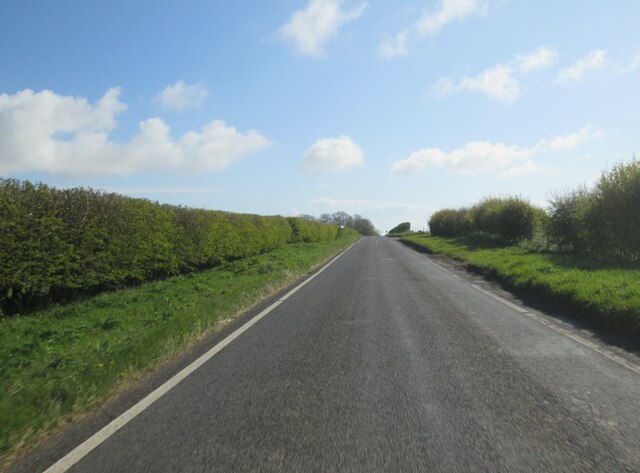
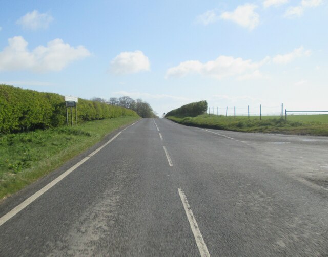
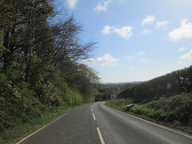
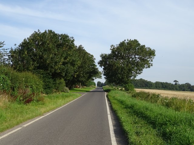
Rosedale is a picturesque valley located in the heart of the North York Moors National Park in Yorkshire, England. Situated in the Ryedale district, it is surrounded by rolling hills and vast expanses of heather moorland, making it a popular destination for nature enthusiasts and hikers.
The valley is known for its rich industrial heritage, particularly in the iron mining industry. In the 19th century, Rosedale was a bustling mining community, with several mines operating in the area. The remnants of these mines, including the iconic Rosedale East and West Kilns, still stand today as a testament to the area's industrial past.
Aside from its historical significance, Rosedale is also renowned for its stunning natural beauty. The valley is adorned with vibrant wildflowers during the summer months, creating a colorful tapestry across the landscape. Additionally, the area is home to a diverse range of wildlife, including birds of prey, deer, and rare species of flora and fauna.
Visitors to Rosedale can explore numerous walking trails that wind through the valley, offering breathtaking views of the surrounding countryside. The Rosedale Railway Trail, for instance, follows the route of an old railway line, providing an opportunity to discover the area's industrial heritage while enjoying the peaceful ambiance.
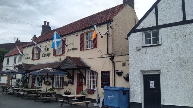
In terms of amenities, Rosedale boasts a charming tearoom and a couple of local pubs, where visitors can indulge in traditional Yorkshire cuisine and soak up the friendly atmosphere. Additionally, the valley hosts various events throughout the year, including a popular agricultural show that celebrates the local farming community.
Overall, Rosedale is a hidden gem in Yorkshire, offering a delightful blend of natural beauty, historical landmarks, and a warm community spirit that is sure to captivate any visitor.
If you have any feedback on the listing, please let us know in the comments section below.
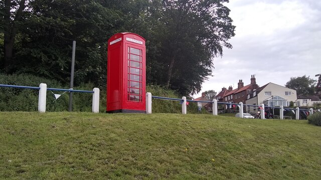
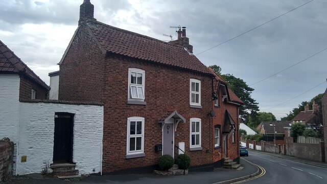
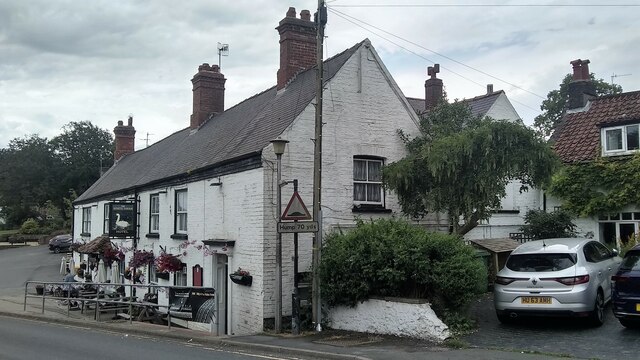
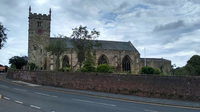
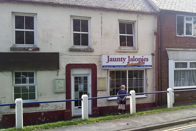
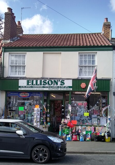
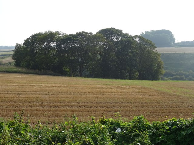
Rosedale Images
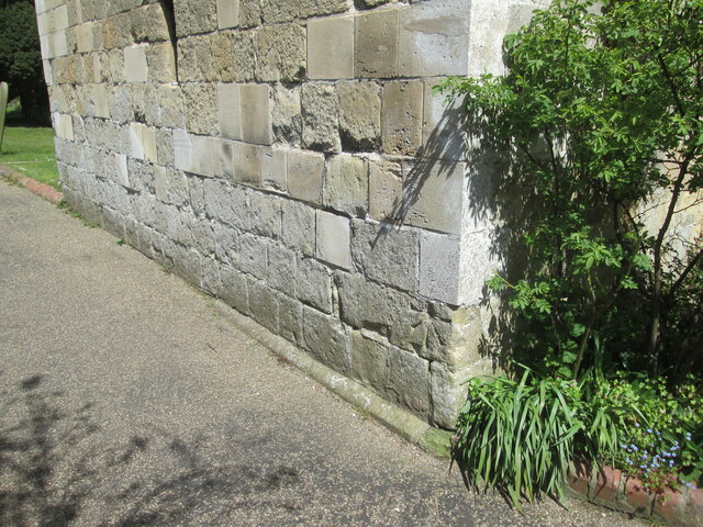
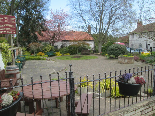
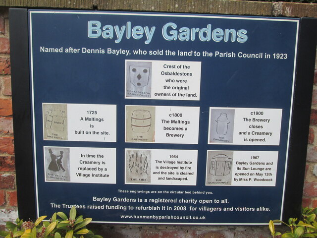
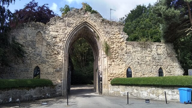
Images are sourced within 2km of 54.173924/-0.29790268 or Grid Reference TA1176. Thanks to Geograph Open Source API. All images are credited.

Rosedale is located at Grid Ref: TA1176 (Lat: 54.173924, Lng: -0.29790268)
Division: East Riding
Administrative County: North Yorkshire
District: Scarborough
Police Authority: North Yorkshire
What 3 Words
///thumps.rave.corded. Near Hunmanby, North Yorkshire
Nearby Locations
Related Wikis

Filey Holiday Camp railway station
Filey Holiday Camp railway station was a railway station built by the London and North Eastern Railway to serve Butlin's Filey Holiday Camp just south...

Hunmanby railway station
Hunmanby railway station serves the large village of Hunmanby in North Yorkshire, England. It is located on the Yorkshire Coast Line and is operated by...

Butlin's Filey
Filey Holiday Camp was a Butlin's holiday camp near Filey, North Yorkshire, England, built for Billy Butlin's holiday organisation. Construction of the...

Hunmanby
Hunmanby is a large village and civil parish in North Yorkshire, England. It was part of the East Riding of Yorkshire until 1974. From 1974 to 2023 it...
Nearby Amenities
Located within 500m of 54.173924,-0.29790268Have you been to Rosedale?
Leave your review of Rosedale below (or comments, questions and feedback).