Bartin Dale
Valley in Yorkshire Scarborough
England
Bartin Dale
Bartin Dale, located in Yorkshire, England, is a picturesque valley renowned for its natural beauty and historical significance. Nestled in the heart of the North York Moors National Park, this idyllic valley offers visitors a tranquil escape from the hustle and bustle of city life.
Characterized by its rolling hills, meandering streams, and lush greenery, Bartin Dale presents an awe-inspiring landscape that attracts nature enthusiasts and hikers from far and wide. The valley is dotted with charming villages and hamlets, providing visitors with a glimpse into the region's rich cultural heritage.
Walking trails crisscross the valley, allowing visitors to explore its diverse flora and fauna. The valley is home to an array of wildlife, including deer, grouse, and various bird species, making it a haven for birdwatchers and wildlife enthusiasts alike.
In addition to its natural beauty, Bartin Dale boasts a fascinating history. The valley is dotted with ancient ruins, including the remnants of prehistoric settlements and medieval castles. These archaeological sites offer a glimpse into the valley's past and provide a unique opportunity for history buffs to delve into the region's rich heritage.
Bartin Dale also offers a range of recreational activities, such as fishing in its crystal-clear streams and picnicking in its scenic meadows. The valley's quaint tea rooms and country pubs provide a perfect spot to relax and enjoy traditional Yorkshire delicacies.
In conclusion, Bartin Dale is a captivating destination that combines breathtaking natural scenery, rich history, and a plethora of outdoor activities. Whether visitors seek solace in nature, delve into history, or simply immerse themselves in the tranquil ambiance, Bartin Dale promises an unforgettable experience for all who venture to this enchanting Yorkshire valley.
If you have any feedback on the listing, please let us know in the comments section below.
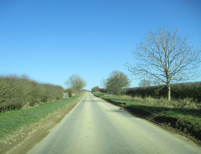
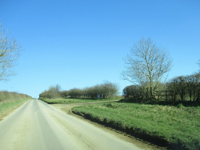
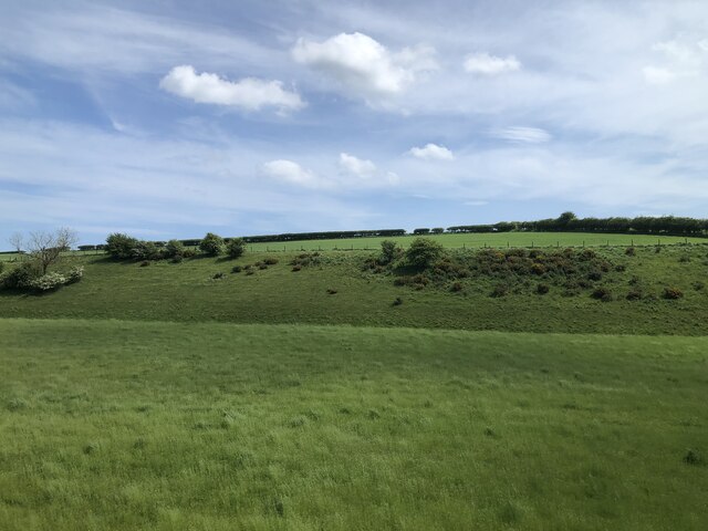
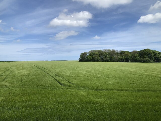
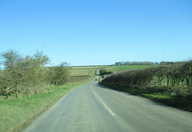
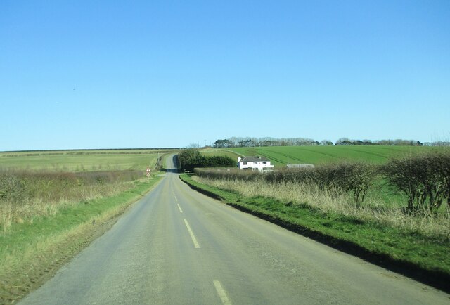
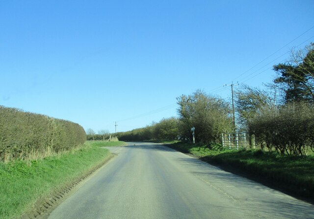
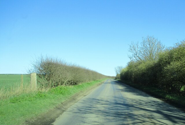
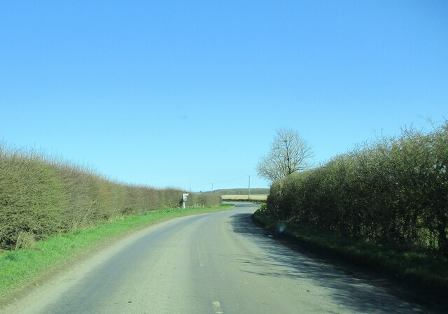
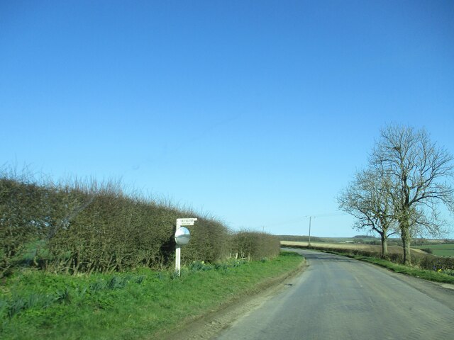
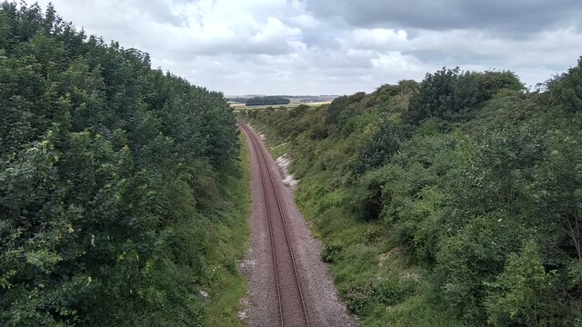
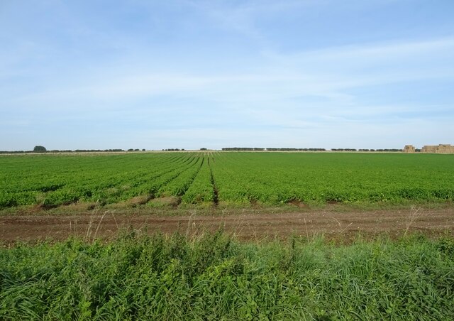
Bartin Dale Images
Images are sourced within 2km of 54.143447/-0.30454204 or Grid Reference TA1073. Thanks to Geograph Open Source API. All images are credited.


Bartin Dale is located at Grid Ref: TA1073 (Lat: 54.143447, Lng: -0.30454204)
Division: East Riding
Administrative County: North Yorkshire
District: Scarborough
Police Authority: North Yorkshire
What 3 Words
///incursion.handwriting.mothering. Near Grindale, East Yorkshire
Nearby Locations
Related Wikis

Argam
Argam, or Argham (sometimes Ergam, or Ergham), was a civil parish and village in the East Riding of Yorkshire, England. The site is listed in many historical...

Burton Fleming
Burton Fleming is a village and civil parish in the East Riding of Yorkshire, England. It lies close to the border with North Yorkshire. The village is...

Reighton
Reighton is a village and civil parish, in North Yorkshire, England. From the mediaeval era until the 19th century Reighton was part of Dickering Wapentake...

Grindale
Grindale is a village and civil parish in the East Riding of Yorkshire, England. It is situated approximately 4 miles (6 km) north-west of Bridlington...
Related Videos

#411 Ella 'Ells Bells' Calvert
Heat 2 Hunmanby Raceway 25/9/22 Junior Bangers.

#411 Ella 'Ells Bells' Calvert
Heat 1 Hunmanby Raceway 25/9/22 Junior Bangers.

Nearby Amenities
Located within 500m of 54.143447,-0.30454204Have you been to Bartin Dale?
Leave your review of Bartin Dale below (or comments, questions and feedback).