Oxdale Slack

Valley in Yorkshire Scarborough

England

Oxdale Slack

Forestry road into Cloughton Woods
Forestry road into Cloughton Woods Credit: Steven Brown

Oxdale Slack is a picturesque valley located in the county of Yorkshire, England. Nestled amidst the rolling hills and lush green landscapes, it is a haven of natural beauty and tranquility. The valley is situated in the district of Calderdale, near the town of Hebden Bridge.

The word "Slack" in the name refers to a shallow valley or depression, which accurately describes the topography of Oxdale Slack. The valley is surrounded by towering hills covered in heather and bracken, providing a stunning backdrop to the area. The River Calder flows through the valley, adding to its charm and contributing to the fertile soil that supports a variety of flora and fauna.

Oxdale Slack is known for its rich biodiversity. The valley is home to a diverse range of plant species, including wildflowers, ferns, and mosses. It also provides a habitat for various bird species, such as curlews, lapwings, and skylarks. The river is teeming with fish, making it a popular spot for anglers.

The valley is a haven for outdoor enthusiasts, offering numerous walking trails and cycling routes. Visitors can explore the picturesque countryside, taking in the breathtaking views and immersing themselves in nature. The peaceful atmosphere of Oxdale Slack makes it an ideal destination for those seeking a quiet retreat or a place to reconnect with nature.

Overall, Oxdale Slack is a hidden gem in Yorkshire, offering a unique blend of natural beauty, tranquility, and outdoor recreational opportunities. It is a place where visitors can escape the hustle and bustle of everyday life and immerse themselves in the splendor of the Yorkshire countryside.

If you have any feedback on the listing, please let us know in the comments section below.
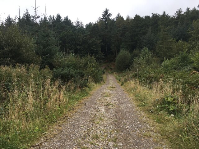
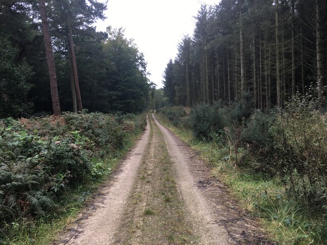
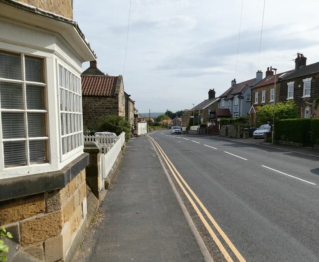
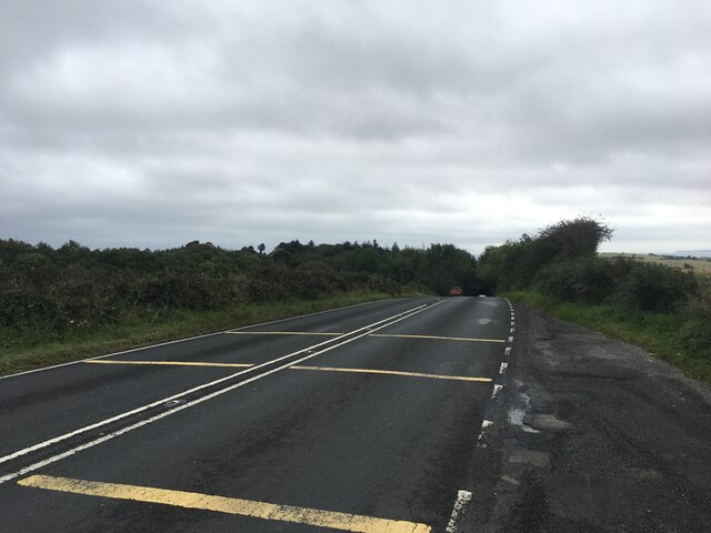
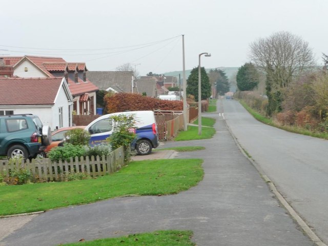
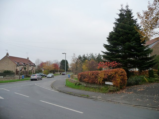
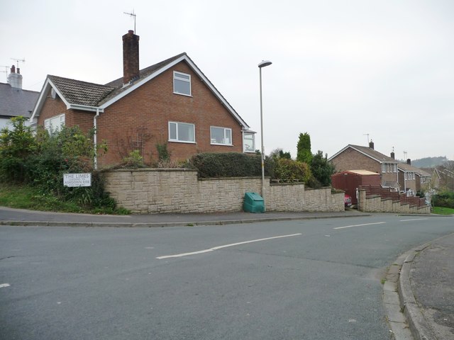
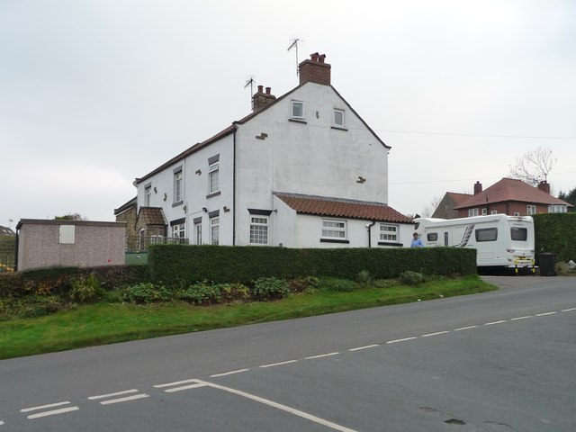
Oxdale Slack Images

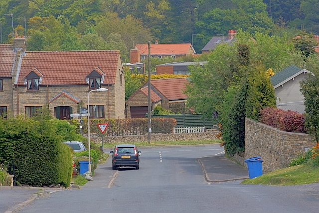
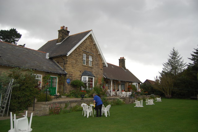
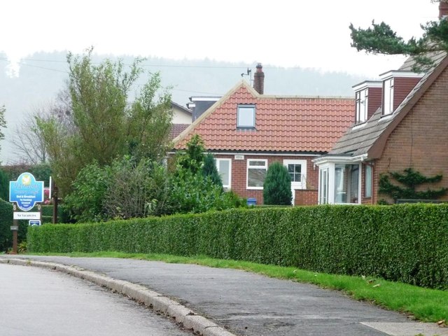
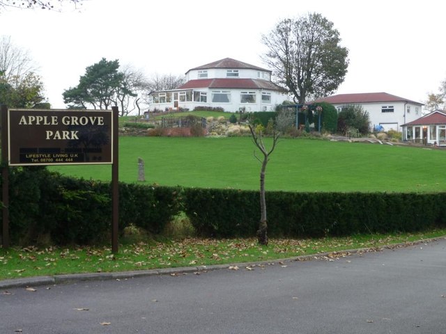
Images are sourced within 2km of 54.339246/-0.46945505 or Grid Reference SE9994. Thanks to Geograph Open Source API. All images are credited.

Forestry road into Cloughton Woods
Forestry road in Cloughton Woods
Bryherstones Country Inn, Cloughton Newlands Popular food-orientated pub on the road out of Cloughton towards Staintondale.
Bryherstones Country Inn, Cloughton Newlands
Popular food-orientated pub on the road out of Cloughton towards Staintondale.
Cloughton Newlands The board advertises the Bryherstones Country Inn, opposite the entrance to its car park, 'real ale, real food, real people'.
Cloughton Newlands
The board advertises the Bryherstones Country Inn, opposite the entrance to its car park, 'real ale, real food, real people'.
Cloughton High Street The main A171 Whitby to Scarborough road.
Cloughton High Street
The main A171 Whitby to Scarborough road.
Pond beside Salt Pans Road Occupied by two Shelduck. The line of trees beyond flanks the Cinder Path (the railway path from Scarborough to Whitby). Houses on Hood Lane <a href="https://www.geograph.org.uk/gridref/TA0195">TA0195</a> in the background.
Pond beside Salt Pans Road
Occupied by two Shelduck. The line of trees beyond flanks the Cinder Path (the railway path from Scarborough to Whitby). Houses on Hood Lane TA0195 in the background.
A171 towards Cloughton
Limestone Road Junction with Lindhead Road.
Limestone Road
Junction with Lindhead Road.
Bryherstones Country Inn, Cloughton Newlands
Reused railway station at Cloughton
Limestone Road, on the edge of Burniston Suburban bungalows and the signed entrance to holiday accommodation.
Limestone Road, on the edge of Burniston
Suburban bungalows and the signed entrance to holiday accommodation.
Harmony Country Lodge, off Limehouse Road Despite the sign, the octagonal building is 'a unique and octagonally designed, peaceful countryside guest house and retreat'called Harmony Country Lodge.
Harmony Country Lodge, off Limehouse Road
Despite the sign, the octagonal building is 'a unique and octagonally designed, peaceful countryside guest house and retreat'called Harmony Country Lodge.
Limestone Road, Burniston A line of housing running into the countryside.
Limestone Road, Burniston
A line of housing running into the countryside.
Autumn colour at the foot of Limestone Road At the junction with Stone Quarry Road. The street names are a clue to Burniston's industrial heritage.
Autumn colour at the foot of Limestone Road
At the junction with Stone Quarry Road. The street names are a clue to Burniston's industrial heritage.
The Limes, Burniston Off Limestone Road.
The Limes, Burniston
Off Limestone Road.
One of the oldest houses along Limestone Road Like many older village houses, but few newer ones, it is at right angles to the road.
One of the oldest houses along Limestone Road
Like many older village houses, but few newer ones, it is at right angles to the road.
Star over Dale Rise, Burniston The first house has almost doubled in size with an extension.
Star over Dale Rise, Burniston
The first house has almost doubled in size with an extension.
Over  fields  to  Cloughton  Village
Over fields to Cloughton Village
Show me another place!

Oxdale Slack is located at Grid Ref: SE9994 (Lat: 54.339246, Lng: -0.46945505)

Division: North Riding

Administrative County: North Yorkshire

District: Scarborough

Police Authority: North Yorkshire

What 3 Words

///vaulting.gravest.louder. Near Burniston, North Yorkshire

Nearby Locations

Oxdale Slack Lind Head

Related Wikis

Cloughton

Cloughton (pronounced Clow-tun) is a small village and civil parish in the Scarborough district of North Yorkshire, England. == Description == It is situated...

Cloughton railway station

Cloughton railway station was a railway station on the Scarborough & Whitby Railway. It opened on 16 July 1885, and served the North Yorkshire village...

Hayburn Wyke railway station

Hayburn Wyke railway station was a railway station on the Scarborough & Whitby Railway, 7 miles from Scarborough. It opened on 16 July 1885, and served...

Burniston

Burniston is a village and civil parish in the Scarborough borough of North Yorkshire, England. It is situated about four miles north of Scarborough itself...

Nearby Amenities

Located within 500m of 54.339246,-0.46945505
Ripley's Farm
Place: farm
Lat/Long: 54.3382891/-0.4669075
Natural: spring
Lat/Long: 54.3382645/-0.4716002
The data included in this document is from www.openstreetmap.org. The data is made available under ODbL.

Have you been to Oxdale Slack?

Leave your review of Oxdale Slack below (or comments, questions and feedback).