Lind Head
Settlement in Yorkshire Scarborough
England
Lind Head
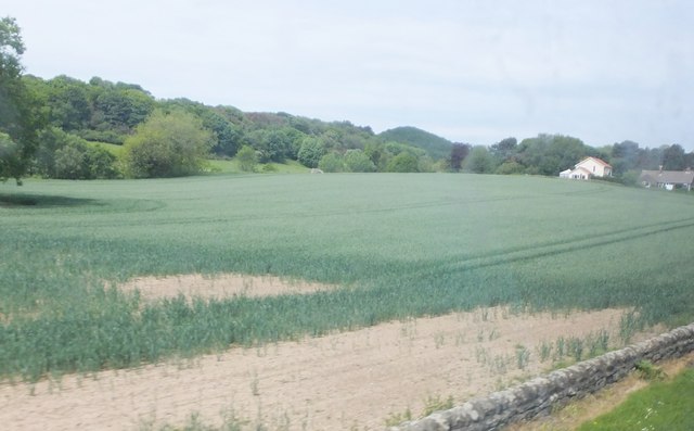
Lind Head is a small village located in the county of Yorkshire, England. Nestled amidst the picturesque landscape of the North York Moors National Park, Lind Head offers a tranquil and idyllic setting for residents and visitors alike. The village can be found approximately 6 miles southwest of the town of Whitby, renowned for its historic abbey and stunning coastline.
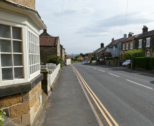
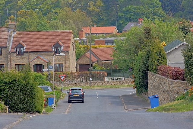
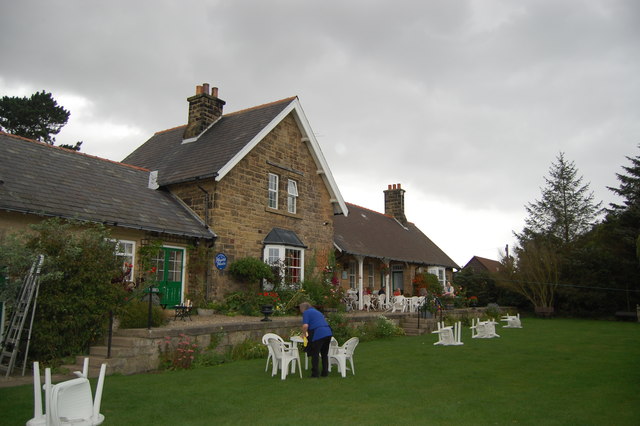
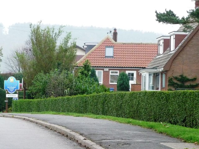
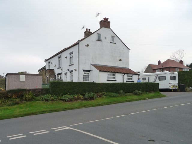
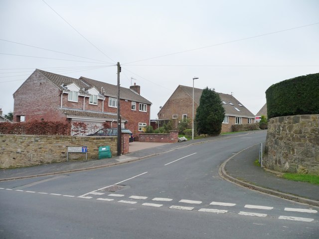
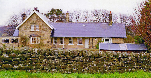
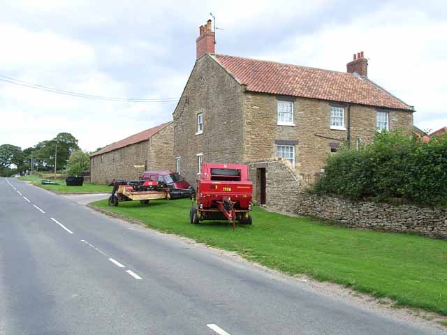
Lind Head is characterized by its charming stone-built houses, which exude a traditional and rustic charm. The village boasts a close-knit community, with a population of around 200 residents. Its peaceful atmosphere and friendly locals make it an appealing destination for those seeking a retreat from the hustle and bustle of city life.
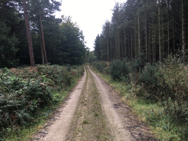
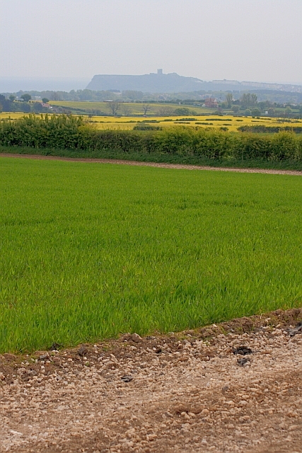
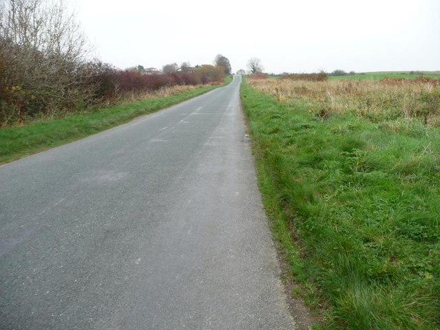
Surrounded by rolling hills and vast expanses of moorland, Lind Head is a paradise for nature enthusiasts and outdoor adventurers. The area offers numerous walking and hiking trails, providing breathtaking views of the surrounding countryside. The nearby Lythe Beck offers a delightful spot for picnics or leisurely strolls along its banks.
Although Lind Head is a small village, it benefits from its close proximity to Whitby. Residents have easy access to a range of amenities, including shops, restaurants, and recreational facilities. The village also benefits from regular public transportation links, allowing for convenient travel to nearby towns and cities.
In conclusion, Lind Head is a charming and picturesque village nestled in the heart of the North York Moors National Park. Its scenic surroundings, close-knit community, and convenient location make it an appealing place to live or visit for those seeking a peaceful retreat in the Yorkshire countryside.
If you have any feedback on the listing, please let us know in the comments section below.
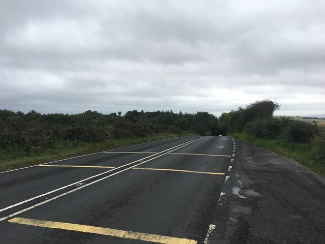
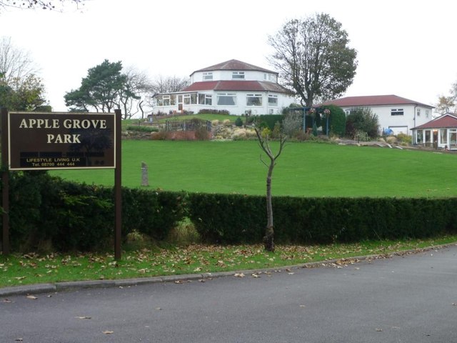
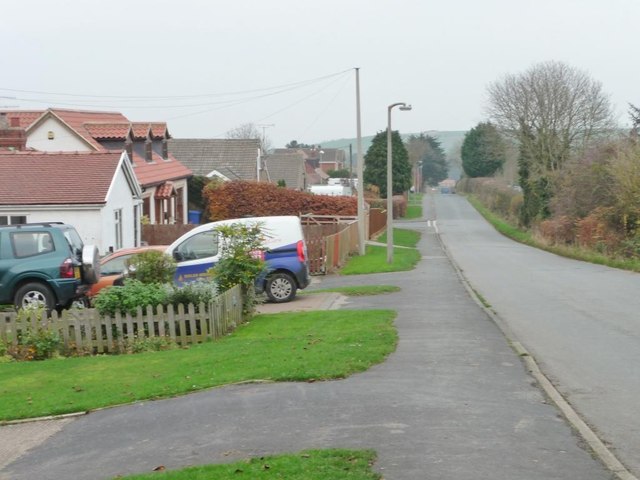
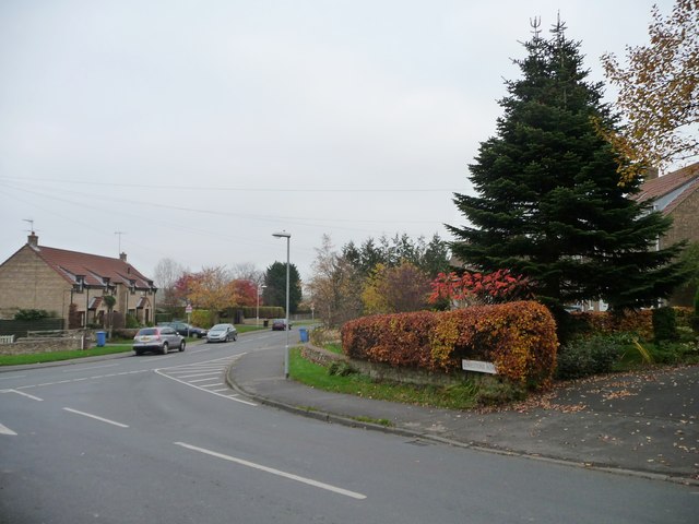
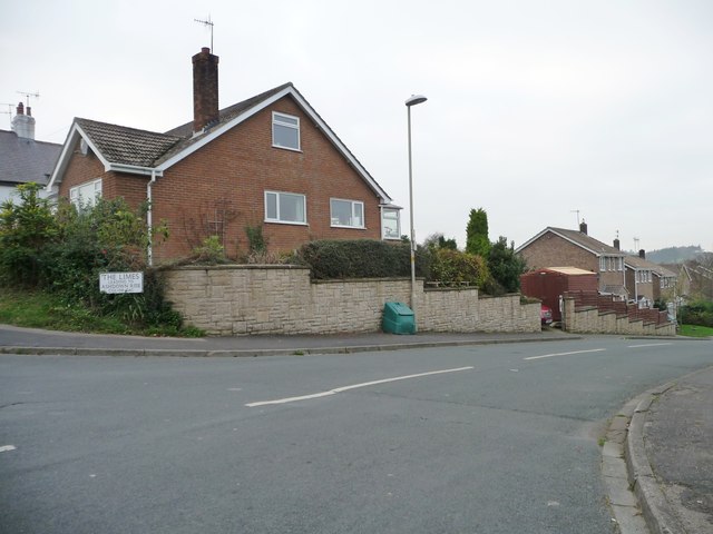
Lind Head Images
Images are sourced within 2km of 54.333003/-0.47465466 or Grid Reference SE9994. Thanks to Geograph Open Source API. All images are credited.

Lind Head is located at Grid Ref: SE9994 (Lat: 54.333003, Lng: -0.47465466)
Division: North Riding
Administrative County: North Yorkshire
District: Scarborough
Police Authority: North Yorkshire
What 3 Words
///readers.unsigned.victory. Near Burniston, North Yorkshire
Nearby Locations
Related Wikis

Cloughton
Cloughton (pronounced Clow-tun) is a small village and civil parish in the Scarborough district of North Yorkshire, England. == Description == It is situated...

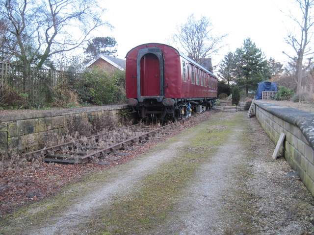
Cloughton railway station
Cloughton railway station was a railway station on the Scarborough & Whitby Railway. It opened on 16 July 1885, and served the North Yorkshire village...

Burniston
Burniston is a village and civil parish in the Scarborough borough of North Yorkshire, England. It is situated about four miles north of Scarborough itself...

Hayburn Wyke railway station
Hayburn Wyke railway station was a railway station on the Scarborough & Whitby Railway, 7 miles from Scarborough. It opened on 16 July 1885, and served...

Silpho
Silpho is a village and civil parish in the Scarborough district of the county of North Yorkshire, England. According to the 2001 UK census, Silpho parish...

Crowdon
Crowdon is a village in the Scarborough district of North Yorkshire, England. == References == The geographic coordinates are from the Ordnance Survey...

Harwood Dale
Harwood Dale is a village and civil parish in the Scarborough district of North Yorkshire, England. It lies within the North York Moors National Park...
Suffield, North Yorkshire
Suffield is a hamlet in the parish of Suffield-cum-Everley in the Scarborough district of North Yorkshire, England. the hamlet is 4.5 miles (7.2 km) north...
Nearby Amenities
Located within 500m of 54.333003,-0.47465466Have you been to Lind Head?
Leave your review of Lind Head below (or comments, questions and feedback).