Lightwood
Settlement in Staffordshire Staffordshire Moorlands
England
Lightwood
Lightwood is a small village located in the county of Staffordshire, England. Situated approximately 3 miles to the west of Stoke-on-Trent, it falls within the Stoke-on-Trent City Council area. The village is nestled within a picturesque countryside setting and is surrounded by lush green fields and woodland.
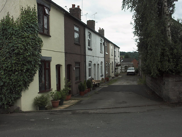
Lightwood has a rich history, dating back to medieval times when it was primarily an agricultural community. Over the years, it has grown into a residential area, consisting mainly of detached and semi-detached houses. The village retains its rural charm, with many of the properties boasting large gardens and open spaces.
Despite its tranquil setting, Lightwood benefits from excellent transport links. The A50 road runs adjacent to the village, providing easy access to the nearby towns and cities. The village is also well-served by public transport, with regular bus services connecting Lightwood to Stoke-on-Trent and surrounding areas.
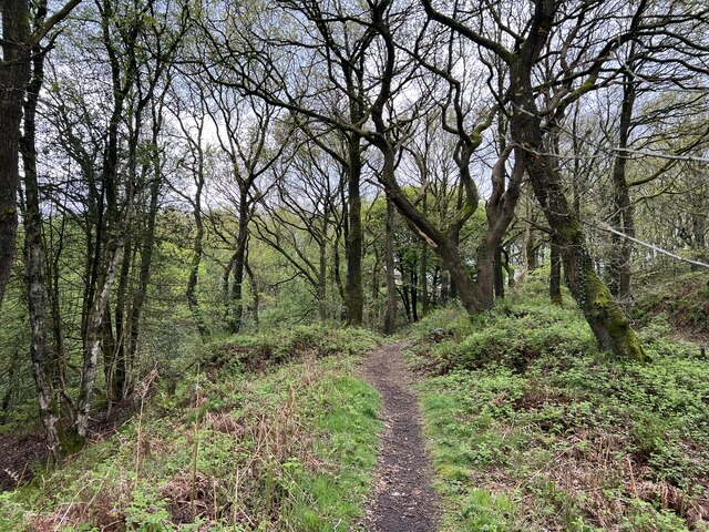
Residents of Lightwood enjoy a range of amenities and facilities. There is a primary school within the village, catering to the educational needs of local children. Nearby, there are several shops, including convenience stores and small businesses. For leisure activities, residents can take advantage of the beautiful countryside surroundings, with numerous walking and cycling trails to explore.
In summary, Lightwood is a charming village in Staffordshire, offering a peaceful and idyllic lifestyle. With its historical roots, scenic countryside, and convenient location, it is a desirable place to live for those seeking a tranquil yet well-connected community.
If you have any feedback on the listing, please let us know in the comments section below.
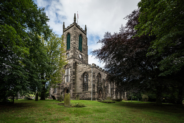
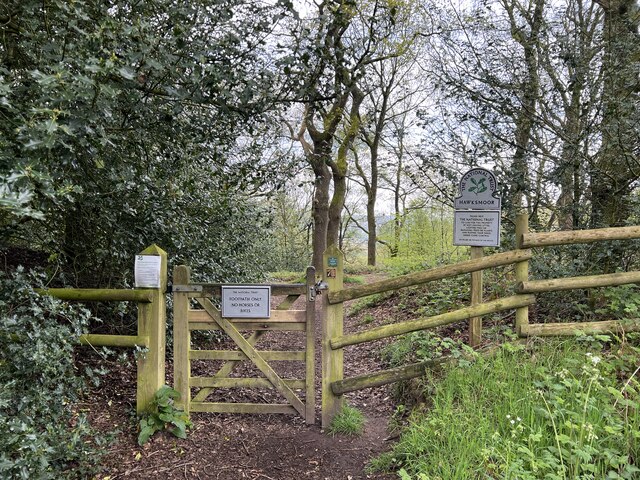
Lightwood Images
Images are sourced within 2km of 52.985038/-1.976134 or Grid Reference SK0143. Thanks to Geograph Open Source API. All images are credited.


Lightwood is located at Grid Ref: SK0143 (Lat: 52.985038, Lng: -1.976134)
Administrative County: Staffordshire
District: Staffordshire Moorlands
Police Authority: Staffordshire
What 3 Words
///budgeted.pleasing.love. Near Cheadle, Staffordshire
Related Wikis

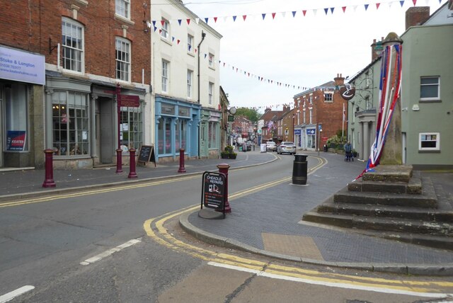
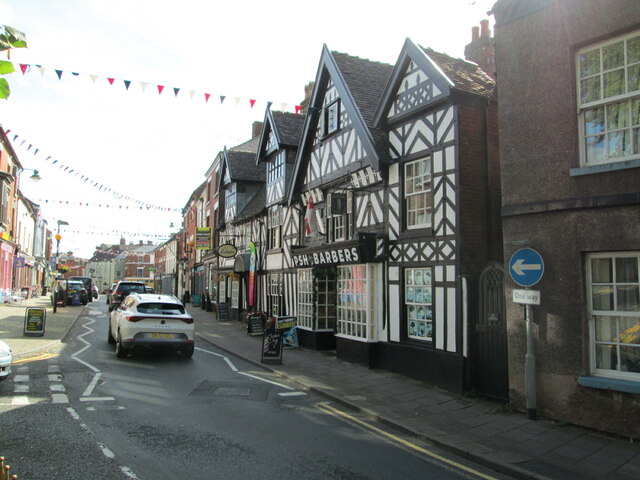
Cheadle, Staffordshire
Cheadle is a market town and civil parish in the Staffordshire Moorlands District of Staffordshire, England, with a population of 12,000 at the 2021 census...
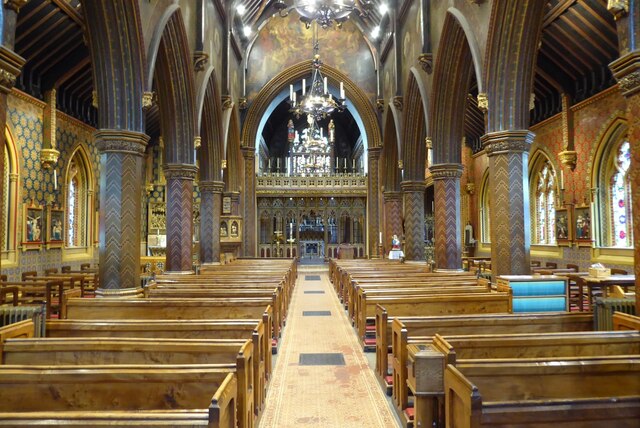
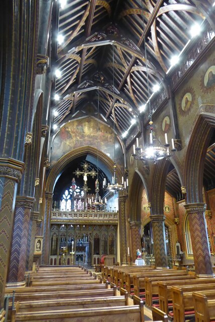
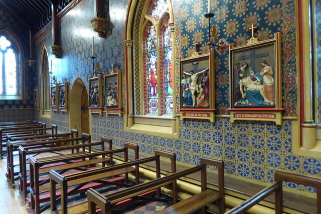
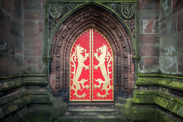
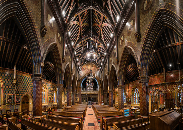
St Giles' Catholic Church, Cheadle
St. Giles' Church is a Roman Catholic church in the town of Cheadle, Staffordshire, England. The Grade I listed Gothic Revival church was designed by Augustus...

Tean Road Sports Ground
Tean Road Sports Ground is a cricket ground in Cheadle, Staffordshire. The ground is located south of the town centre along the Tean Road, which itself...
Painsley Catholic College
Painsley Catholic College is a Roman Catholic secondary school with academy status in Cheadle, Staffordshire, England. The name comes from Painsley Hall...
The Cheadle Academy
The Cheadle Academy (formerly Cheadle High School) is a coeducational secondary school with academy status located in Cheadle, Staffordshire in the Midlands...
Moorlands Sixth Form College
The Moorlands Sixth Form College is a Sixth Form College located in Cheadle, a historic market town in Staffordshire, England. The college caters for years...

Cheadle railway station
Cheadle railway station served the town of Cheadle, Staffordshire, England. It was the terminus of a branch line from Cresswell and opened in 1901. �...
Freehay
Freehay is a small village located 2 miles from the centre of Cheadle in Staffordshire, England. The village centre is at the main Freehay Bank (or Church...
Nearby Amenities
Located within 500m of 52.985038,-1.976134Have you been to Lightwood?
Leave your review of Lightwood below (or comments, questions and feedback).