Penslade Bottom

Valley in Berkshire

England

Penslade Bottom

The Forge 86a Upper Village Road Sunninghill The house was built 25 years ago following demolition of the original factory (The Forge). The climber on the right is Solanum jasminoides 'Album', still flowering profusely in October.
The Forge 86a Upper Village Road Sunninghill Credit: Mick Crawley

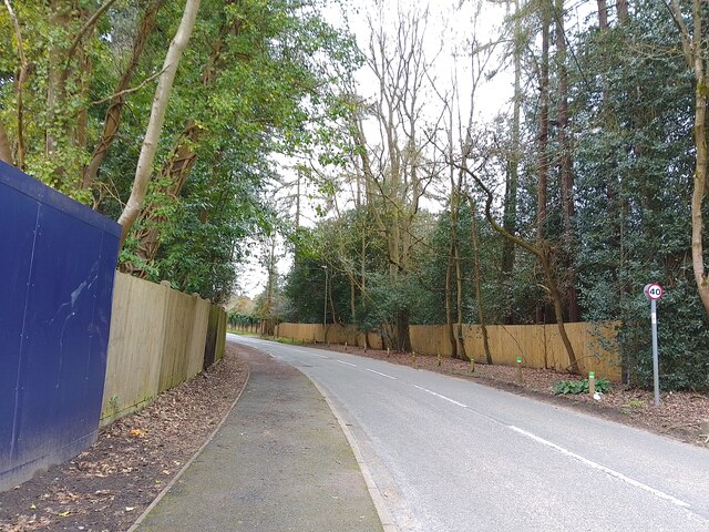
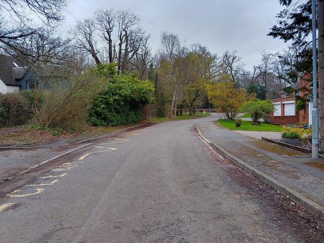
Penslade Bottom, located in Berkshire, is a picturesque valley that spans approximately 2 miles in length. Nestled in the heart of the English countryside, this serene landscape offers visitors a tranquil escape from the hustle and bustle of nearby towns and cities.

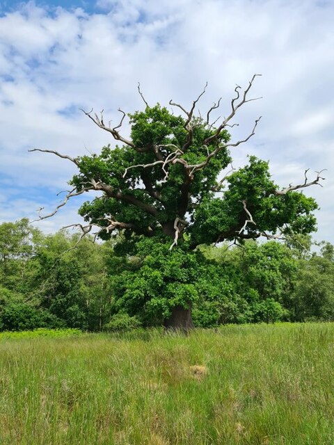
The valley is characterized by its rolling green hills and meandering streams, creating an idyllic setting for outdoor enthusiasts and nature lovers. The area is abundant in flora and fauna, with a diverse range of plant species and wildlife calling it home. Visitors can often observe deer, rabbits, and various bird species in their natural habitat.

Penslade Bottom is also known for its charming footpaths and walking trails, making it a popular destination for hikers and ramblers. These paths offer breathtaking views of the surrounding countryside, allowing visitors to immerse themselves in the beauty of the valley.

In addition to its natural beauty, Penslade Bottom is steeped in history. The valley has ancient origins and has been inhabited by humans for thousands of years. Archaeological remains, such as burial mounds and ancient settlements, can be found in the area, providing a glimpse into the valley's rich past.

Overall, Penslade Bottom in Berkshire offers a serene and picturesque retreat for those seeking a peaceful escape in nature. Its stunning landscapes, diverse wildlife, and historical significance make it a must-visit destination for both locals and tourists alike.

If you have any feedback on the listing, please let us know in the comments section below.

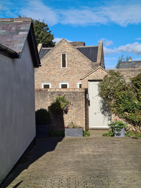
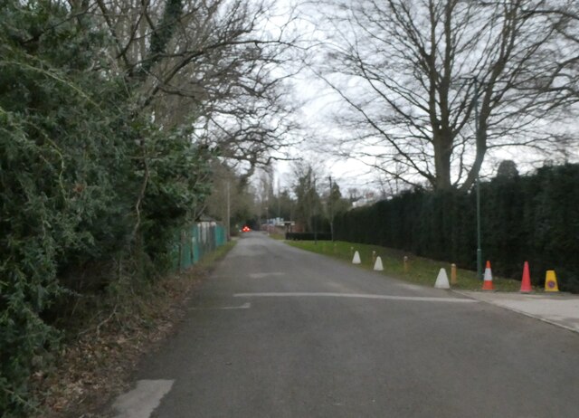
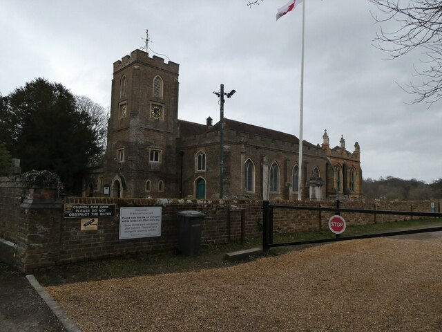
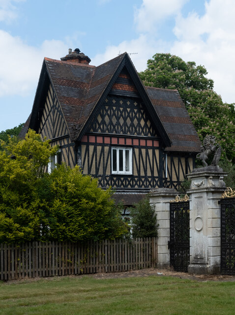
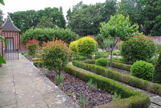
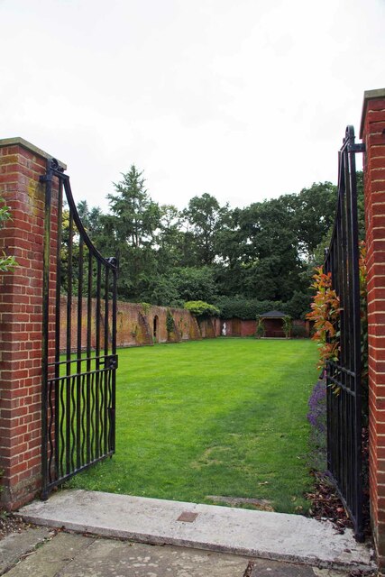
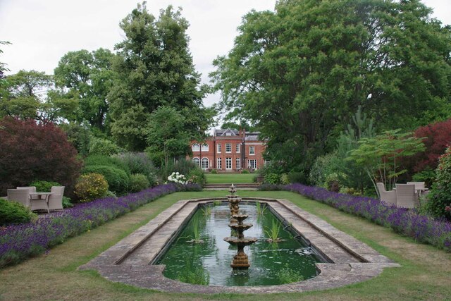
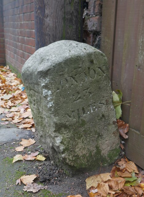
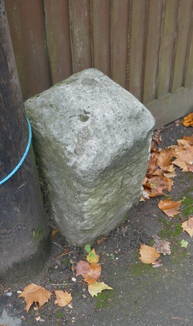
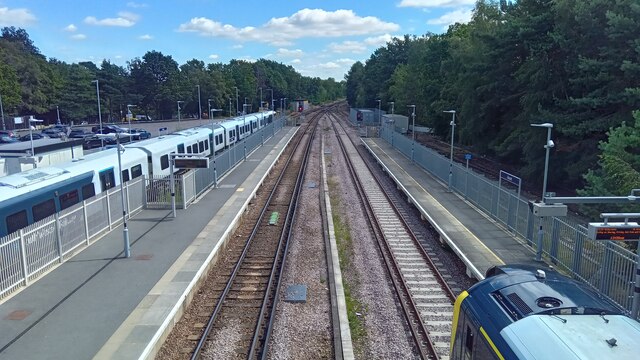
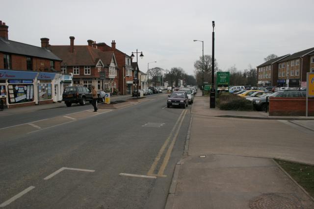
Penslade Bottom Images

Images are sourced within 2km of 51.417415/-0.65488804 or Grid Reference SU9369. Thanks to Geograph Open Source API. All images are credited.

The Forge 86a Upper Village Road Sunninghill The house was built 25 years ago following demolition of the original factory (The Forge). The climber on the right is Solanum jasminoides 'Album', still flowering profusely in October.
The Forge 86a Upper Village Road Sunninghill
The house was built 25 years ago following demolition of the original factory (The Forge). The climber on the right is Solanum jasminoides 'Album', still flowering profusely in October.
Looking south-southwest along Church Lane
St Michael & All Angels, Sunninghill: early February 2022
Stag-headed Quercus robur in Church Field Silwood Park As the tree ages,  there comes a point when the canopy starts to contract each year  leaving the resilient but now dead limbs behind.
Stag-headed Quercus robur in Church Field Silwood Park
As the tree ages, there comes a point when the canopy starts to contract each year leaving the resilient but now dead limbs behind.
Larch Avenue A road between Silwood Road (the B383) and Rise Road.
Larch Avenue
A road between Silwood Road (the B383) and Rise Road.
Ascot High Street The high street in Ascot on race day - a place to avoid if you aren't heading to the races yourself, viewed from the petrol station. Lots of illegal parking and thousands of cars flocking everywhere.
Ascot High Street
The high street in Ascot on race day - a place to avoid if you aren't heading to the races yourself, viewed from the petrol station. Lots of illegal parking and thousands of cars flocking everywhere.
Dorian Drive A road leading to Green Lane off Watersplash Lane. To the left are road markings for Cheapside C of E Primary School.
Dorian Drive
A road leading to Green Lane off Watersplash Lane. To the left are road markings for Cheapside C of E Primary School.
Dorian Drive A road leading to Green Lane off Watersplash Lane. The houses are all in a typical Ascot style, but not particularly large.
Dorian Drive
A road leading to Green Lane off Watersplash Lane. The houses are all in a typical Ascot style, but not particularly large.
Ascot : Old Golden Gates Lodge At the former entrance to Ascot race-course. Grade II listed lodge - <span class="nowrap"><a title="https://historicengland.org.uk/listing/the-list/list-entry/1119816?section=official-list-entry" rel="nofollow ugc noopener" href="https://historicengland.org.uk/listing/the-list/list-entry/1119816?section=official-list-entry">Link</a><img style="margin-left:2px;" alt="External link" title="External link - shift click to open in new window" src="https://s1.geograph.org.uk/img/external.png" width="10" height="10"/></span>
Ascot : Old Golden Gates Lodge
At the former entrance to Ascot race-course. Grade II listed lodge - LinkExternal link
Royal Berkshire Hotel Once owned by the Spencer Family (Winston Spencer Churchill) the building was later  used as a School for the blind and since the early 1970's has been a hotel. An ideal billet for the  Ascot races or Sunningdale Golf.
Royal Berkshire Hotel
Once owned by the Spencer Family (Winston Spencer Churchill) the building was later used as a School for the blind and since the early 1970's has been a hotel. An ideal billet for the Ascot races or Sunningdale Golf.
Walled Garden for The Oaks The Oaks was the name of Charles Churchill's 1705 mansion. Now the <a href="https://www.geograph.org.uk/photo/7542840">SU9468 : Royal Berkshire Hotel</a>
Walled Garden for The Oaks
The Oaks was the name of Charles Churchill's 1705 mansion. Now the SU9468 : Royal Berkshire Hotel
Gates to a Walled Garden These days more a walled lawn than a garden. You can see a recreation of what  the eighteenth century gardens may have looked like at <a href="https://www.geograph.org.uk/photo/7542843">SU9468 : Walled Garden for The Oaks</a>
Gates to a Walled Garden
These days more a walled lawn than a garden. You can see a recreation of what the eighteenth century gardens may have looked like at SU9468 : Walled Garden for The Oaks
Sadly Not Longer a Fish Pond I am fairly sure a combination of Herons and a bloom of  blue green algae have put paid to any fish that lived in the pond of the <a href="https://www.geograph.org.uk/photo/7542840">SU9468 : Royal Berkshire Hotel</a>.
Sadly Not Longer a Fish Pond
I am fairly sure a combination of Herons and a bloom of blue green algae have put paid to any fish that lived in the pond of the SU9468 : Royal Berkshire Hotel.
Old Milestone by the A329 and B383 in Sunninghill
Ascot station - looking east On the left is a Reading - London Waterloo service; on the right an Ascot - Aldershot train.
Ascot station - looking east
On the left is a Reading - London Waterloo service; on the right an Ascot - Aldershot train.
Ascot station - platform 3 The 13.23 train for Aldershot is at the platform.
Ascot station - platform 3
The 13.23 train for Aldershot is at the platform.
SU9268 Ascot Ascot High Street looking east.
SU9268 Ascot
Ascot High Street looking east.
Show me another place!

Penslade Bottom is located at Grid Ref: SU9369 (Lat: 51.417415, Lng: -0.65488804)

Unitary Authority: Windsor and Maidenhead

Police Authority: Thames Valley

What 3 Words

///firmly.modern.ranks. Near Ascot, Berkshire

Related Wikis

Tetworth Hall

Tetworth Hall is a large country house between Ascot and Sunninghill in the English county of Berkshire. It has been listed Grade II on the National Heritage...

Ascot United F.C.

Ascot United Football Club is a football club based in Ascot, Berkshire, England. They are currently members of the Isthmian League South Central Division...

Cheapside, Berkshire

Cheapside describes a close triangle of roads in the civil parish of Sunninghill and Ascot and ecclesiastical parish of Sunninghill in the Royal Borough...

Royal Ascot Golf Club

The Ascot Golf Club was founded in 1887, and became a Royal Club by command of Queen Victoria later that year. It is the second oldest, and the only Royal...

Nearby Amenities

Located within 500m of 51.417415,-0.65488804
Bus Stop
Hilltop Close
Naptan AtcoCode: 036006001308
Naptan Bearing: W
Naptan CommonName: Hilltop Close
Naptan Indicator: adj
Naptan Landmark: Hilltop Close
Naptan NaptanCode: winapdt
Naptan Street: Cheapside Road
Naptan Verified: no
Public Transport: platform
Shelter: yes
Source: naptan_import
Lat/Long: 51.41665/-0.64822
Barrier: bollard
Lat/Long: 51.4132669/-0.6571389
Fireball Hill
Natural: peak
Lat/Long: 51.4161421/-0.6577471
Penslade Bottom
Place: locality
Lat/Long: 51.4168448/-0.6546394
Platt's Firs
Place: locality
Lat/Long: 51.4177061/-0.6600006
The Rookery
Place: locality
Lat/Long: 51.42133/-0.653424
Street Lamp
Lat/Long: 51.4145915/-0.6560198
Man Made: tower
Tower Construction: lattice
Tower Type: communication
Lat/Long: 51.4147447/-0.6521739
Area: yes
Landuse: plant_nursery
Lat/Long: 51.414376/-0.6558149
Direction: 165
Generator Method: photovoltaic
Generator Output Electricity: yes
Generator Solar Modules: 12
Generator Source: solar
Generator Type: solar_photovoltaic_panel
Location: roof
Power: generator
Lat/Long: 51.4132607/-0.6546746
1500m
Leisure: track
Sport: horse_racing
Surface: turf
Lat/Long: 51.4146692/-0.6588795
1600m
Leisure: track
Sport: horse_racing
Surface: turf
Lat/Long: 51.4148232/-0.6567722
Colour: yellow
Marker: post
Material: concrete
Utility: gas
Lat/Long: 51.4160391/-0.6531016
Colour: yellow
Marker: post
Material: concrete
Utility: gas
Lat/Long: 51.4161285/-0.6532541
Colour: yellow
Marker: aerial
Utility: gas
Lat/Long: 51.4160345/-0.6531014
The data included in this document is from www.openstreetmap.org. The data is made available under ODbL.

Have you been to Penslade Bottom?

Leave your review of Penslade Bottom below (or comments, questions and feedback).