Platt's Firs

Wood, Forest in Berkshire

England

Platt's Firs

The Forge 86a Upper Village Road Sunninghill The house was built 25 years ago following demolition of the original factory (The Forge). The climber on the right is Solanum jasminoides 'Album', still flowering profusely in October.
The Forge 86a Upper Village Road Sunninghill Credit: Mick Crawley

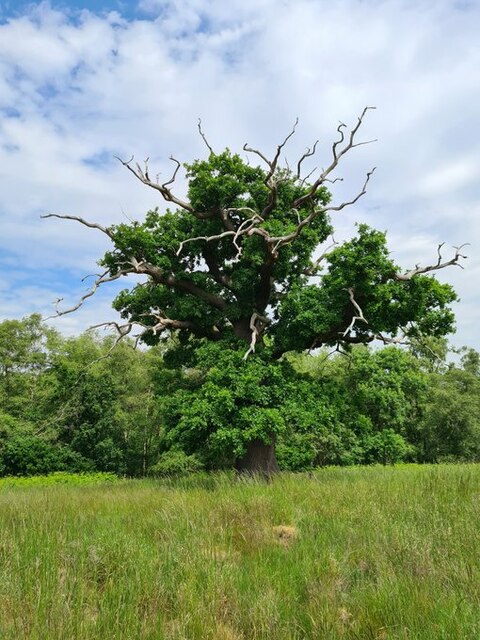
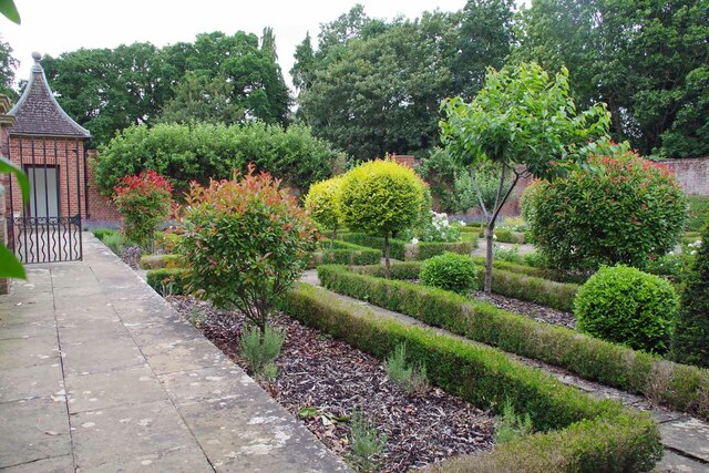
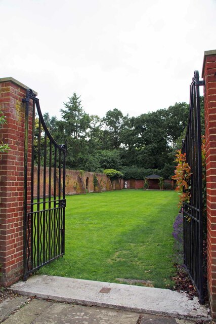
Platt's Firs, located in Berkshire, England, is a stunning woodland area known for its dense forest and natural beauty. Covering an area of approximately 100 acres, this ancient woodland is a haven for nature enthusiasts and outdoor lovers alike.

The forest is primarily composed of tall, majestic fir trees, which give the woodland its name. These evergreen trees create a lush and vibrant canopy that provides shade and protection for the abundant flora and fauna that call Platt's Firs home.

The forest floor is covered with a rich carpet of moss, ferns, and wildflowers, creating a picturesque and serene atmosphere. Walking through the woodland, visitors can admire the diverse range of plant species, including bluebells, primroses, and wood anemones, depending on the season.

Platt's Firs is also home to a variety of wildlife, making it an excellent spot for birdwatching and nature photography. Bird species such as woodpeckers, owls, and warblers can often be spotted among the treetops, while small mammals like deer, foxes, and squirrels roam the forest floor.

For those seeking a peaceful retreat or a place for outdoor activities, Platt's Firs offers several well-maintained trails and paths suitable for walking, jogging, or cycling. The forest's serene atmosphere and breathtaking scenery make it an ideal destination for nature lovers seeking solace and tranquility.

Overall, Platt's Firs in Berkshire is a remarkable woodland area that showcases the beauty of nature, providing a peaceful escape from the hustle and bustle of everyday life.

If you have any feedback on the listing, please let us know in the comments section below.
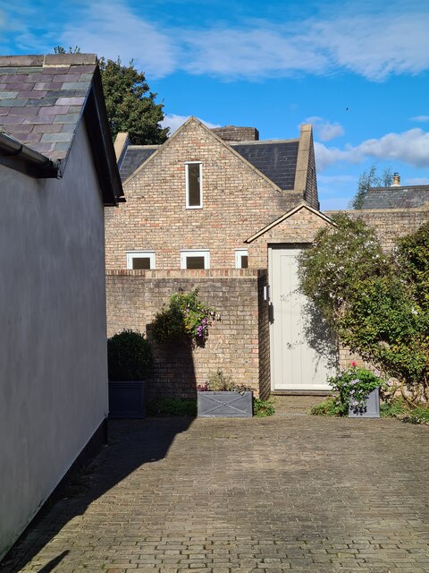
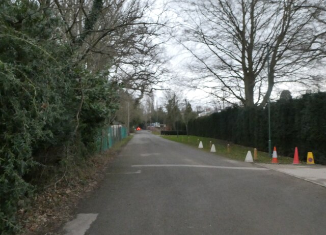
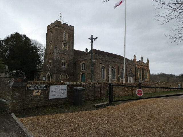
Platt's Firs Images

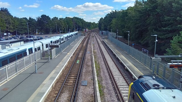
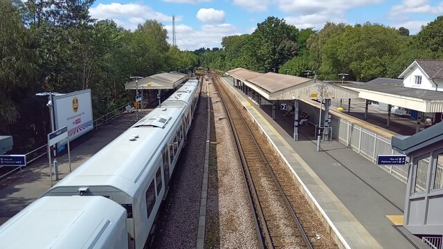
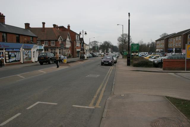
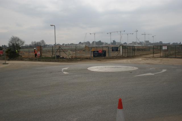
Images are sourced within 2km of 51.417714/-0.6606317 or Grid Reference SU9369. Thanks to Geograph Open Source API. All images are credited.

The Forge 86a Upper Village Road Sunninghill The house was built 25 years ago following demolition of the original factory (The Forge). The climber on the right is Solanum jasminoides 'Album', still flowering profusely in October.
The Forge 86a Upper Village Road Sunninghill
The house was built 25 years ago following demolition of the original factory (The Forge). The climber on the right is Solanum jasminoides 'Album', still flowering profusely in October.
Looking south-southwest along Church Lane
St Michael & All Angels, Sunninghill: early February 2022
Stag-headed Quercus robur in Church Field Silwood Park As the tree ages,  there comes a point when the canopy starts to contract each year  leaving the resilient but now dead limbs behind.
Stag-headed Quercus robur in Church Field Silwood Park
As the tree ages, there comes a point when the canopy starts to contract each year leaving the resilient but now dead limbs behind.
Ascot High Street The high street in Ascot on race day - a place to avoid if you aren't heading to the races yourself, viewed from the petrol station. Lots of illegal parking and thousands of cars flocking everywhere.
Ascot High Street
The high street in Ascot on race day - a place to avoid if you aren't heading to the races yourself, viewed from the petrol station. Lots of illegal parking and thousands of cars flocking everywhere.
Dorian Drive A road leading to Green Lane off Watersplash Lane. To the left are road markings for Cheapside C of E Primary School.
Dorian Drive
A road leading to Green Lane off Watersplash Lane. To the left are road markings for Cheapside C of E Primary School.
Dorian Drive A road leading to Green Lane off Watersplash Lane. The houses are all in a typical Ascot style, but not particularly large.
Dorian Drive
A road leading to Green Lane off Watersplash Lane. The houses are all in a typical Ascot style, but not particularly large.
Ascot : Old Golden Gates Lodge At the former entrance to Ascot race-course. Grade II listed lodge - <span class="nowrap"><a title="https://historicengland.org.uk/listing/the-list/list-entry/1119816?section=official-list-entry" rel="nofollow ugc noopener" href="https://historicengland.org.uk/listing/the-list/list-entry/1119816?section=official-list-entry">Link</a><img style="margin-left:2px;" alt="External link" title="External link - shift click to open in new window" src="https://s1.geograph.org.uk/img/external.png" width="10" height="10"/></span>
Ascot : Old Golden Gates Lodge
At the former entrance to Ascot race-course. Grade II listed lodge - LinkExternal link
Walled Garden for The Oaks The Oaks was the name of Charles Churchill's 1705 mansion. Now the <a href="https://www.geograph.org.uk/photo/7542840">SU9468 : Royal Berkshire Hotel</a>
Walled Garden for The Oaks
The Oaks was the name of Charles Churchill's 1705 mansion. Now the SU9468 : Royal Berkshire Hotel
Gates to a Walled Garden These days more a walled lawn than a garden. You can see a recreation of what  the eighteenth century gardens may have looked like at <a href="https://www.geograph.org.uk/photo/7542843">SU9468 : Walled Garden for The Oaks</a>
Gates to a Walled Garden
These days more a walled lawn than a garden. You can see a recreation of what the eighteenth century gardens may have looked like at SU9468 : Walled Garden for The Oaks
Old Milestone by the A329 in Ascot Opposite Ascot race course
Old Milestone by the A329 in Ascot
Opposite Ascot race course
Old Milestone by the A329 in Ascot Opposite Ascot race course
Old Milestone by the A329 in Ascot
Opposite Ascot race course
Ascot station - looking east On the left is a Reading - London Waterloo service; on the right an Ascot - Aldershot train.
Ascot station - looking east
On the left is a Reading - London Waterloo service; on the right an Ascot - Aldershot train.
Ascot station - looking west
Ascot station - platform 3 The 13.23 train for Aldershot is at the platform.
Ascot station - platform 3
The 13.23 train for Aldershot is at the platform.
SU9268 Ascot Ascot High Street looking east.
SU9268 Ascot
Ascot High Street looking east.
Ascot Major works in progress at Ascot Racecourse.
Ascot
Major works in progress at Ascot Racecourse.
Church of St Michael and All Angels, Sunninghill The church was built between 1808 and 1827 (incorporating a Norman doorway from the previous church) with the chancel and south chapel added in 1888 by W.H. Crossland (architect of Royal Holloway College), all in yellow brick.
Church of St Michael and All Angels, Sunninghill
The church was built between 1808 and 1827 (incorporating a Norman doorway from the previous church) with the chancel and south chapel added in 1888 by W.H. Crossland (architect of Royal Holloway College), all in yellow brick.
Show me another place!

Platt's Firs is located at Grid Ref: SU9369 (Lat: 51.417714, Lng: -0.6606317)

Unitary Authority: Windsor and Maidenhead

Police Authority: Thames Valley

What 3 Words

///trader.vivid.beams. Near Ascot, Berkshire

Related Wikis

Ascot United F.C.

Ascot United Football Club is a football club based in Ascot, Berkshire, England. They are currently members of the Isthmian League South Central Division...

Royal Ascot Golf Club

The Ascot Golf Club was founded in 1887, and became a Royal Club by command of Queen Victoria later that year. It is the second oldest, and the only Royal...

Tetworth Hall

Tetworth Hall is a large country house between Ascot and Sunninghill in the English county of Berkshire. It has been listed Grade II on the National Heritage...

Cheapside, Berkshire

Cheapside describes a close triangle of roads in the civil parish of Sunninghill and Ascot and ecclesiastical parish of Sunninghill in the Royal Borough...

Nearby Amenities

Located within 500m of 51.417714,-0.6606317
Ascot Farm House
Alt Name: Brick Kiln Farm
Place: isolated_dwelling
Lat/Long: 51.416536/-0.6672304
Fireball Hill
Natural: peak
Lat/Long: 51.4161421/-0.6577471
Penslade Bottom
Place: locality
Lat/Long: 51.4168448/-0.6546394
Platt's Firs
Place: locality
Lat/Long: 51.4177061/-0.6600006
South Lodge
Place: isolated_dwelling
Lat/Long: 51.4139178/-0.6609061
The Dawrey
Place: locality
Lat/Long: 51.4217634/-0.6581832
Street Lamp
Lat/Long: 51.4145915/-0.6560198
Area: yes
Landuse: plant_nursery
Lat/Long: 51.414376/-0.6558149
1300m
Marker: yes
Lat/Long: 51.4143431/-0.6625037
1400m
Marker: yes
Lat/Long: 51.4144892/-0.6607872
1500m
Marker: yes
Lat/Long: 51.4146692/-0.6588795
1600m
Marker: yes
Lat/Long: 51.4148232/-0.6567722
1200m
Marker: yes
Lat/Long: 51.4141764/-0.6643892
4000m
Marker: yes
Lat/Long: 51.4142742/-0.6634475
Golf: pin
Lat/Long: 51.4155027/-0.6656336
Golf: pin
Lat/Long: 51.4180837/-0.6611052
Golf: pin
Lat/Long: 51.4203654/-0.6649523
Golf: pin
Lat/Long: 51.4200057/-0.6620112
Golf: pin
Lat/Long: 51.4184194/-0.6627955
Golf: pin
Lat/Long: 51.4186889/-0.6647934
Golf: pin
Lat/Long: 51.415938/-0.6669323
Golf: pin
Lat/Long: 51.4173008/-0.6670501
The data included in this document is from www.openstreetmap.org. The data is made available under ODbL.

Have you been to Platt's Firs?

Leave your review of Platt's Firs below (or comments, questions and feedback).