Barley Carr Slack

Valley in Yorkshire Scarborough

England

Barley Carr Slack

Forestry road, Langdale Forest
Forestry road, Langdale Forest Credit: Steven Brown

Barley Carr Slack is a charming valley located in the county of Yorkshire, England. Nestled amidst the picturesque landscape, it is surrounded by rolling hills and lush greenery, offering visitors a tranquil and idyllic escape from the hustle and bustle of city life.

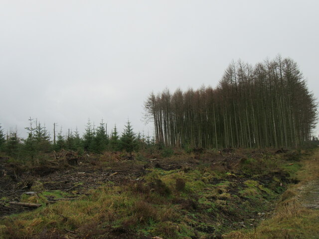
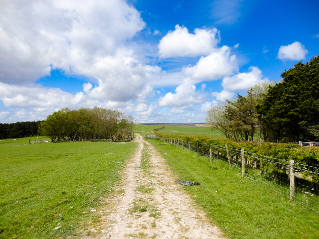
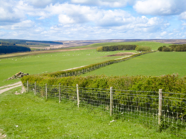
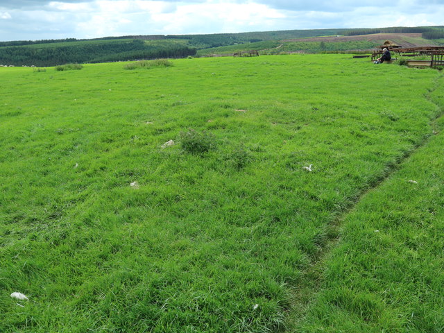
The valley is known for its natural beauty and is a popular destination for nature enthusiasts and hikers. It boasts a diverse range of flora and fauna, with numerous walking trails and paths that allow visitors to explore and admire the stunning scenery. From wildflowers and ancient woodlands to babbling brooks and cascading waterfalls, Barley Carr Slack offers a haven for those seeking outdoor adventures.

The area is also home to a variety of wildlife, including deer, foxes, and a wide array of bird species, making it a paradise for birdwatchers and wildlife enthusiasts. Nature lovers can spend hours observing and capturing the beauty of the valley's inhabitants.

In addition to its natural wonders, Barley Carr Slack is dotted with quaint villages and charming cottages, providing a glimpse into traditional Yorkshire life. The locals are known for their warm hospitality, and visitors can experience authentic Yorkshire cuisine and hospitality in the local pubs and restaurants.

Overall, Barley Carr Slack, Yorkshire, is a hidden gem that offers a perfect blend of natural beauty, outdoor activities, and cultural experiences. Whether it's a peaceful walk in nature or immersing oneself in the local culture, visitors to Barley Carr Slack are sure to find a memorable and enriching experience in this enchanting valley.

If you have any feedback on the listing, please let us know in the comments section below.

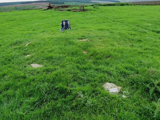
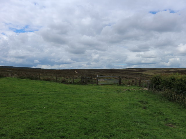
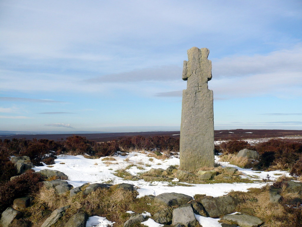
Barley Carr Slack Images

Images are sourced within 2km of 54.352997/-0.58039409 or Grid Reference SE9296. Thanks to Geograph Open Source API. All images are credited.

Forestry road, Langdale Forest
Lun Rigg Looking towards Langdale Rigg.
Lun Rigg
Looking towards Langdale Rigg.
Larch trees on Lun Rigg In Langdale Forest.
Larch trees on Lun Rigg
In Langdale Forest.
The upper Derwent valley Looking north.
The upper Derwent valley
Looking north.
Near Barley Carr Dike Looking SE.
Near Barley Carr Dike
Looking SE.
Barley Carr Tongue Looking NW.
Barley Carr Tongue
Looking NW.
Barley Carr Rigg A vulnerable looking stand of Larch trees on Barley Carr Rigg.
Barley Carr Rigg
A vulnerable looking stand of Larch trees on Barley Carr Rigg.
Forest track, Langdale Forest This was junction 11 of the Langdale stage, Malton Forest Rally 2023.
Forest track, Langdale Forest
This was junction 11 of the Langdale stage, Malton Forest Rally 2023.
Langdale Forest
Langdale Forest
Grassland, Low North Moor This area has a series of grassland fields for grazing, mainly of sheep.
Grassland, Low North Moor
This area has a series of grassland fields for grazing, mainly of sheep.
Farmland, Pike Rigg The area of trees shown at Pike Rigg on the OS Map has now disappeared.
Farmland, Pike Rigg
The area of trees shown at Pike Rigg on the OS Map has now disappeared.
Lownorth Moor View Looking in a westerly direction across farmland and moor towards Lilla Cross.
Lownorth Moor View
Looking in a westerly direction across farmland and moor towards Lilla Cross.
Brown Hill round cairn This is all that remains of the round cairn near Brown Hill on Harwood Dale Moor. In 1968 it was reported as being 4' high and 50' in diameter, but at that time the moor had probably not been ploughed and converted ie it was heather moor
Brown Hill round cairn
This is all that remains of the round cairn near Brown Hill on Harwood Dale Moor. In 1968 it was reported as being 4' high and 50' in diameter, but at that time the moor had probably not been ploughed and converted ie it was heather moor
Brown Hill round cairn 2 Another view of the Brown Hill round cairn seen in <a href="https://www.geograph.org.uk/photo/5422207">SE9197 : Brown Hill round cairn</a> showing the stones which form the kerb
Brown Hill round cairn 2
Another view of the Brown Hill round cairn seen in SE9197 : Brown Hill round cairn showing the stones which form the kerb
Track on Harwood Dale moor Beyond the gate the track crosses traditional heather moor, nearer the camera it is passing over land that was converted from heather moor to pasture in the late 1960s or early 1970s
Track on Harwood Dale moor
Beyond the gate the track crosses traditional heather moor, nearer the camera it is passing over land that was converted from heather moor to pasture in the late 1960s or early 1970s
Man made pond on Lownorth Moor In the background the hedge and track show the position of the bridleway which runs on to Harwood Dale and Fylingdales moors
Man made pond on Lownorth Moor
In the background the hedge and track show the position of the bridleway which runs on to Harwood Dale and Fylingdales moors
Trees beside the pond, Lownorth Moor These trees have been planted on the man made embankment which forms the southern side of the pond shown in <a href="https://www.geograph.org.uk/photo/5422237">SE9297 : Man made pond on Lownorth Moor</a>
Trees beside the pond, Lownorth Moor
These trees have been planted on the man made embankment which forms the southern side of the pond shown in SE9297 : Man made pond on Lownorth Moor
View towards River Head Farm Taken from the bridleway crossing Pike Rigg and Lownorth Moor.On the left horizon the keep to Scarborough Castle can just be seen. 
This land has been converted from heather moor.
View towards River Head Farm
Taken from the bridleway crossing Pike Rigg and Lownorth Moor.On the left horizon the keep to Scarborough Castle can just be seen. This land has been converted from heather moor.
Show me another place!

Barley Carr Slack is located at Grid Ref: SE9296 (Lat: 54.352997, Lng: -0.58039409)

Division: North Riding

Administrative County: North Yorkshire

District: Scarborough

Police Authority: North Yorkshire

What 3 Words

///scarves.outbid.viewer. Near Burniston, North Yorkshire

Related Wikis

Langdale Forest

Langdale Forest is an area of primarily coniferous woodland at the southern end of the North York Moors National Park, in North Yorkshire, England. The...

Harwood Dale

Harwood Dale is a village and civil parish in the Scarborough district of North Yorkshire, England. It lies within the North York Moors National Park...

Lilla Cross

Lilla Cross is a marker on Lilla's Howe, Fylingdales Moor, in North Yorkshire, England. A story relates how King Edwin of Northumbria placed the cross...

Darncombe-cum-Langdale End

Darncombe-cum-Langdale End is a civil parish in the former Scarborough district of North Yorkshire, England. According to the 2001 UK census, Darncombe...

Nearby Amenities

Located within 500m of 54.352997,-0.58039409
Langdale Moor
Natural: moor
Source: OS 1:25k
Lat/Long: 54.3542423/-0.5864822
The data included in this document is from www.openstreetmap.org. The data is made available under ODbL.

Have you been to Barley Carr Slack?

Leave your review of Barley Carr Slack below (or comments, questions and feedback).