Barley Carr Tongue
Wood, Forest in Yorkshire Scarborough
England
Barley Carr Tongue

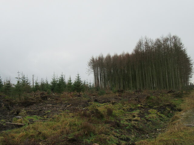
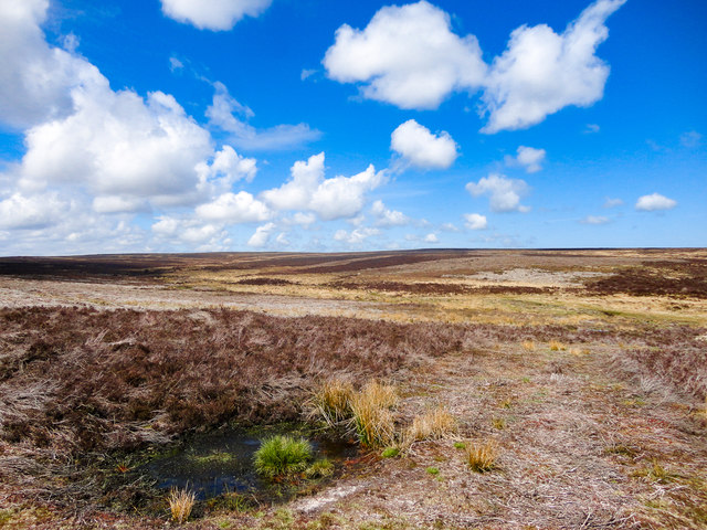
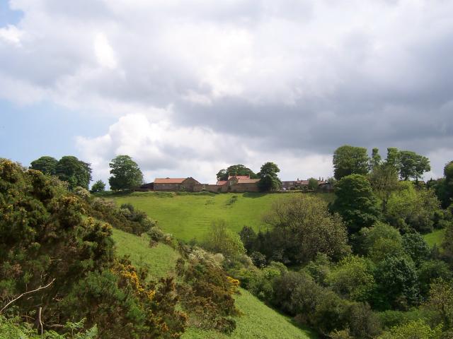
Barley Carr Tongue is a serene woodland area located in the picturesque region of Yorkshire, England. Nestled amidst rolling hills and lush greenery, this enchanting forest offers a tranquil retreat from the bustling city life. Spanning over acres of land, Barley Carr Tongue is a nature lover's paradise.
The woodland is predominantly composed of towering oak and birch trees, their branches forming a dense canopy that filters sunlight, casting a dappled glow on the forest floor. The undergrowth is adorned with an array of wildflowers, creating a vibrant tapestry of colors during the spring and summer months.
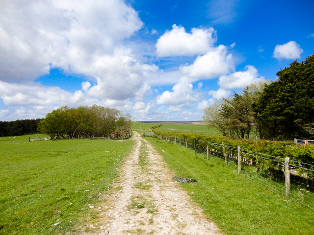
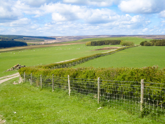
Barley Carr Tongue is intersected by a meandering stream, which adds to the area's allure. The babbling brook provides a soothing soundtrack to visitors as they explore the woodland trails that wind their way through the forest. The trails cater to all levels of hikers, offering both easy strolls and more challenging treks for the adventurous.
The forest is home to a diverse array of wildlife. Birdwatchers will delight in spotting various species, including woodpeckers, owls, and the occasional elusive kingfisher. Squirrels scurry through the branches, while rabbits and deer can be spotted grazing in the clearings.
For those seeking solitude and relaxation, Barley Carr Tongue provides several secluded picnic spots, allowing visitors to immerse themselves in the natural beauty while enjoying a picnic amidst the serene surroundings.
Overall, Barley Carr Tongue is a hidden gem within Yorkshire, offering a peaceful respite for nature enthusiasts and adventurers alike. Its captivating beauty and abundant wildlife make it a must-visit destination for anyone seeking a true woodland escape.
If you have any feedback on the listing, please let us know in the comments section below.
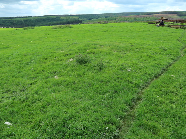
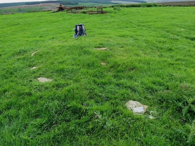
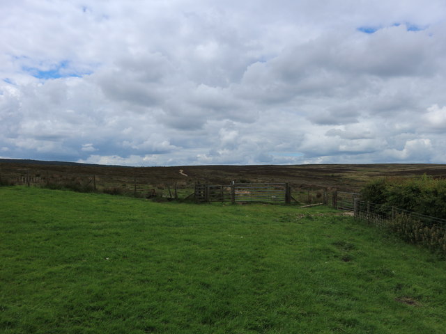
Barley Carr Tongue Images
Images are sourced within 2km of 54.356127/-0.57980916 or Grid Reference SE9296. Thanks to Geograph Open Source API. All images are credited.


Barley Carr Tongue is located at Grid Ref: SE9296 (Lat: 54.356127, Lng: -0.57980916)
Division: North Riding
Administrative County: North Yorkshire
District: Scarborough
Police Authority: North Yorkshire
What 3 Words
///quietest.blockage.below. Near Burniston, North Yorkshire
Nearby Locations
Related Wikis

Langdale Forest
Langdale Forest is an area of primarily coniferous woodland at the southern end of the North York Moors National Park, in North Yorkshire, England. The...

Harwood Dale
Harwood Dale is a village and civil parish in the Scarborough district of North Yorkshire, England. It lies within the North York Moors National Park...
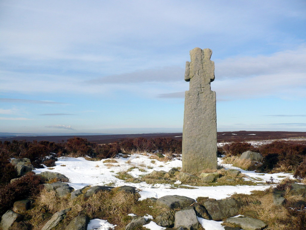
Lilla Cross
Lilla Cross is a marker on Lilla's Howe, Fylingdales Moor, in North Yorkshire, England. A story relates how King Edwin of Northumbria placed the cross...

Darncombe-cum-Langdale End
Darncombe-cum-Langdale End is a civil parish in the Scarborough district of North Yorkshire, England. According to the 2001 UK census, Darncombe-cum-Langdale...
Broxa, North Yorkshire
Broxa is a village in the Scarborough district of North Yorkshire, England, within the North York Moors National Park. The village is 6.2 miles (10 km...

Broxa-cum-Troutsdale
Broxa-cum-Troutsdale is a civil parish in the Scarborough district of North Yorkshire, England. The population as of the 2011 census remained less than...
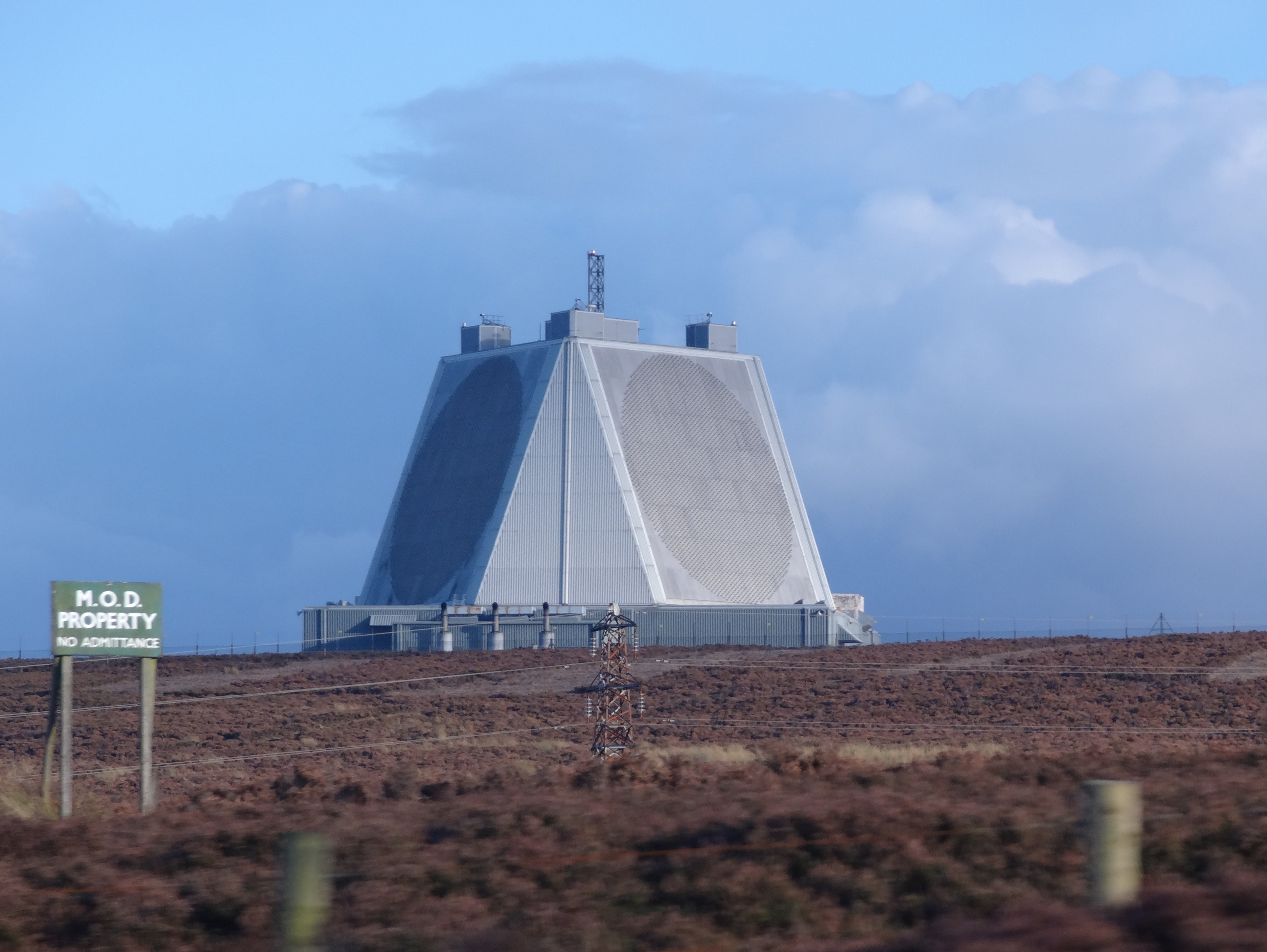
RAF Fylingdales
Royal Air Force Fylingdales or more simply RAF Fylingdales is a Royal Air Force station on Snod Hill in the North York Moors, England. Its motto is "Vigilamus...

Silpho
Silpho is a village and civil parish in the Scarborough district of the county of North Yorkshire, England. According to the 2001 UK census, Silpho parish...
Related Videos

Robin Hoods Bay, Fylingdales Moor and Ravenscar
24/07/2022.

Fylingdales Moor & Lilla Cross, North York Moors - 1 October 2022
An 11.4 mile walk from Jugger Howe on the A171. The route first heads west directly to Lilla Cross before turning north towards ...
Jugger Howe WW2 Tank Range
For this video we made the trip to Jugger Howe WW2 Tank Range which is situated on Fylingdales Moor between Scarborough ...
Nearby Amenities
Located within 500m of 54.356127,-0.57980916Have you been to Barley Carr Tongue?
Leave your review of Barley Carr Tongue below (or comments, questions and feedback).