Egg Dale
Valley in Yorkshire
England
Egg Dale
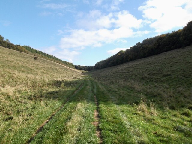
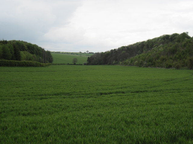
Egg Dale, located in the picturesque region of Yorkshire, England, is a stunning valley that enchants visitors with its natural beauty and tranquil atmosphere. Nestled amidst rolling green hills and surrounded by dense woodland, this idyllic valley offers a peaceful retreat away from the hustle and bustle of city life.
The name "Egg Dale" is derived from the Old English word "egg," meaning "edge" or "boundary," and "dale," which refers to a valley or dell. This aptly describes the location, as Egg Dale is situated on the edge of the expansive Peak District National Park, showcasing the stunning boundary between the park and the surrounding countryside.
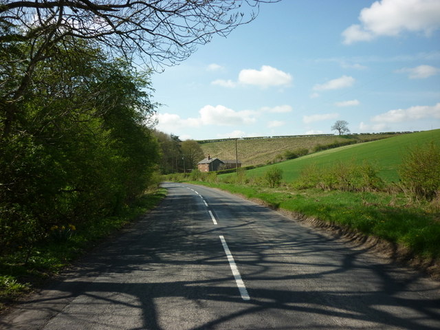
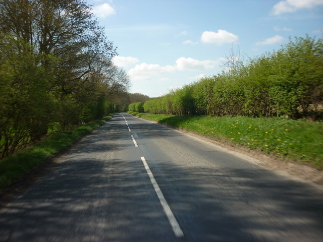
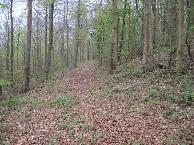
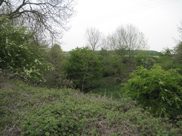
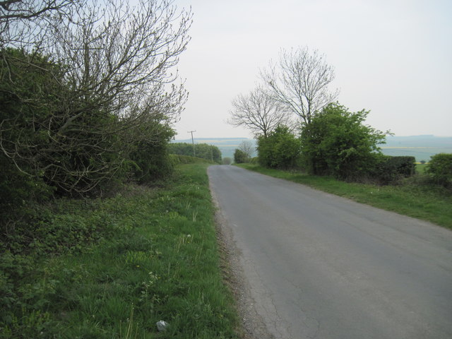
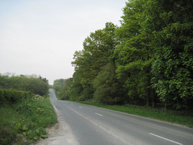
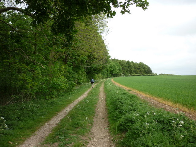
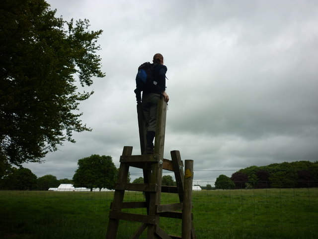
The valley is famous for its lush meadows, dotted with grazing sheep and picturesque farmhouses. The meandering River Derwent flows through the dale, adding to its charm and providing a haven for wildlife and waterfowl. Walking trails and footpaths crisscross the area, allowing visitors to explore the valley at their own pace and immerse themselves in its unspoiled natural beauty.
Egg Dale is also renowned for its vibrant flora, particularly during the spring and summer seasons when the valley bursts with colorful wildflowers, including bluebells, primroses, and buttercups. This makes it a haven for nature enthusiasts, photographers, and artists seeking inspiration in its breathtaking landscapes.
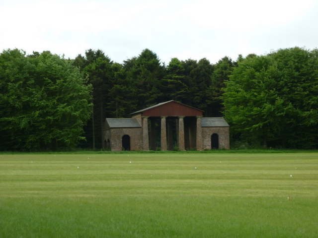
In addition to its natural wonders, Egg Dale is also home to several historic landmarks, including the ruins of Egton Bridge Castle, a 14th-century fortified manor house that provides a glimpse into the region's rich history.
Overall, Egg Dale offers a unique and enchanting experience, where visitors can immerse themselves in the tranquility of nature and discover the hidden gems of Yorkshire's stunning countryside.
If you have any feedback on the listing, please let us know in the comments section below.
Egg Dale Images
Images are sourced within 2km of 54.05213/-0.59535971 or Grid Reference SE9262. Thanks to Geograph Open Source API. All images are credited.


Egg Dale is located at Grid Ref: SE9262 (Lat: 54.05213, Lng: -0.59535971)
Division: East Riding
Unitary Authority: East Riding of Yorkshire
Police Authority: Humberside
What 3 Words
///idea.overcomes.backers. Near Fimber, East Yorkshire
Nearby Locations
Related Wikis

Towthorpe, East Riding of Yorkshire
Towthorpe is a hamlet and former civil parish, now in the parish of Fimber, in the East Riding of Yorkshire, England. It is situated in the Yorkshire...
Sledmere and Fimber railway station
Sledmere and Fimber railway station was a railway station on the Malton & Driffield Railway in the East Riding of Yorkshire, England. == History == The...

Eleanor Cross, Sledmere
A replica Eleanor Cross was erected in Sledmere, East Riding of Yorkshire, in 1896–98. The tall stone structure was constructed by the Sykes family of...

Yorkshire Wolds Railway
The Yorkshire Wolds Railway is a preserved railway in the East Riding of Yorkshire, England. It is located on a section of the Malton and Driffield Junction...
Nearby Amenities
Located within 500m of 54.05213,-0.59535971Have you been to Egg Dale?
Leave your review of Egg Dale below (or comments, questions and feedback).