Biller Howe Dale

Valley in Yorkshire Scarborough

England

Biller Howe Dale

John Cross The 'stump' that is called John Cross.
John Cross Credit: T Eyre

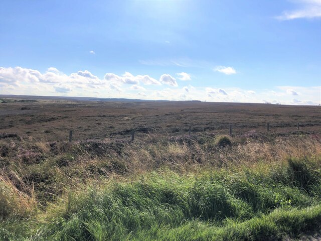
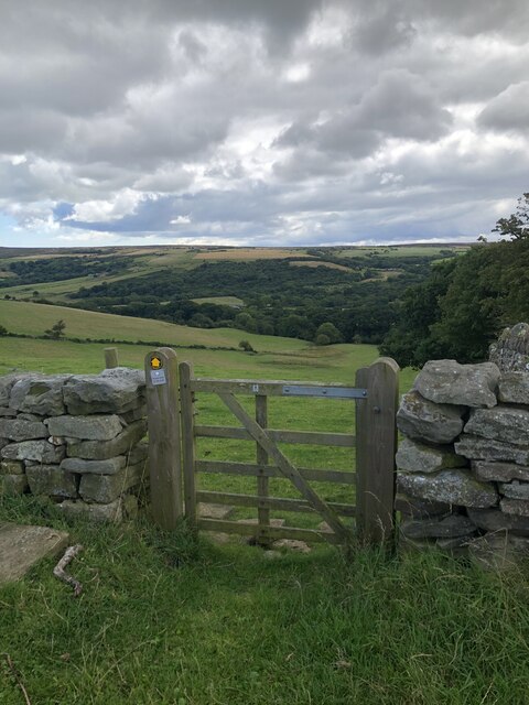
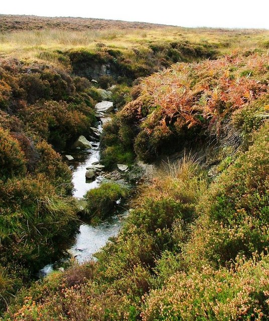
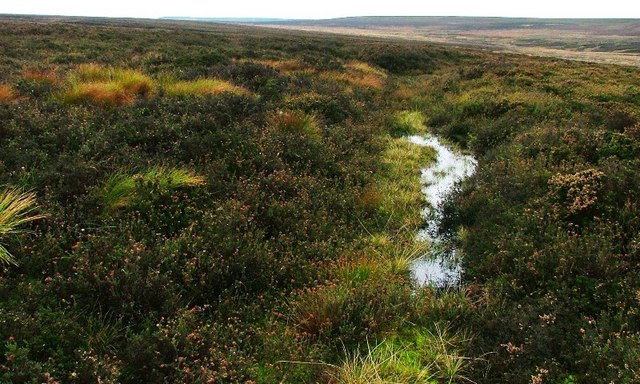
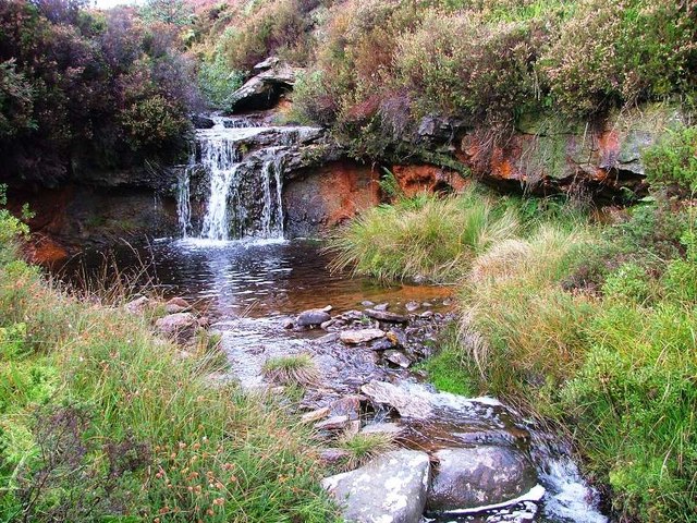
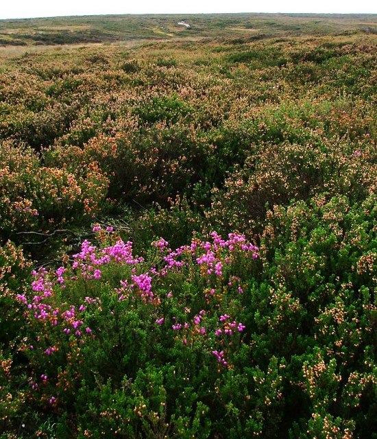
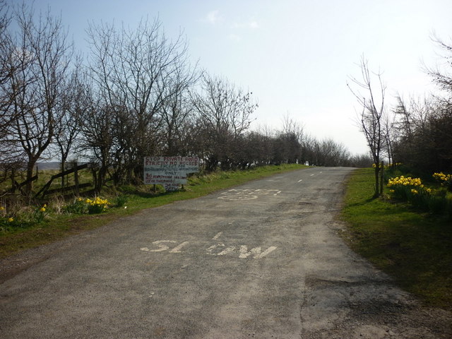
Biller Howe Dale is a picturesque valley located in the county of Yorkshire, England. Nestled between rolling hills and lush greenery, this valley is known for its stunning natural beauty and tranquil atmosphere. The valley is home to a variety of wildlife, including deer, birds, and other small animals.

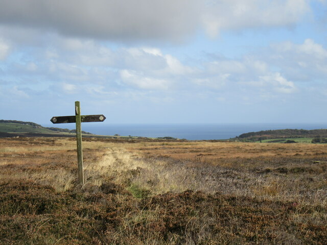
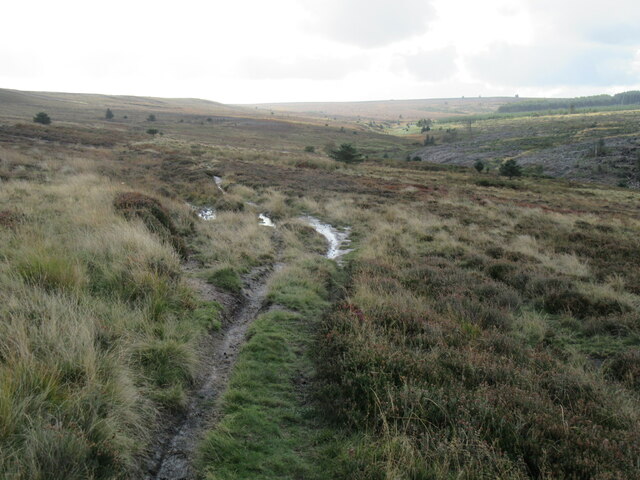
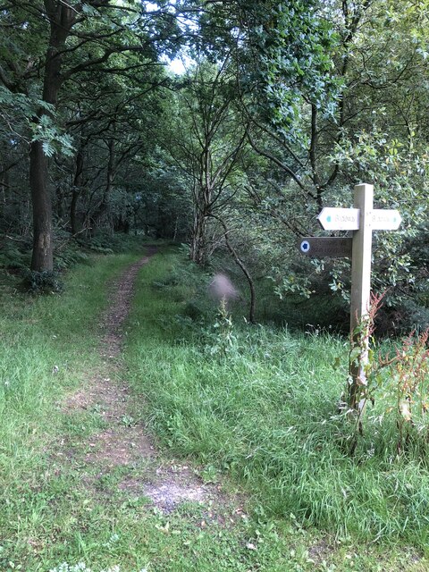
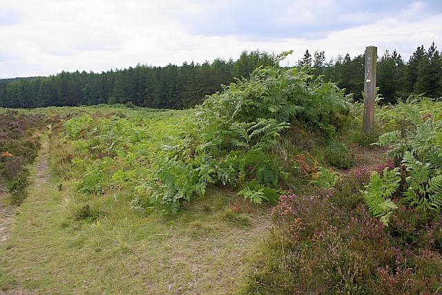
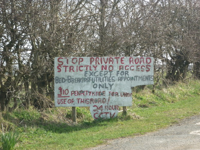
Biller Howe Dale is a popular destination for hikers and nature enthusiasts, with a network of walking trails that wind through the valley and offer breathtaking views of the surrounding countryside. The valley is also dotted with charming villages and historic buildings, adding to its charm and appeal.

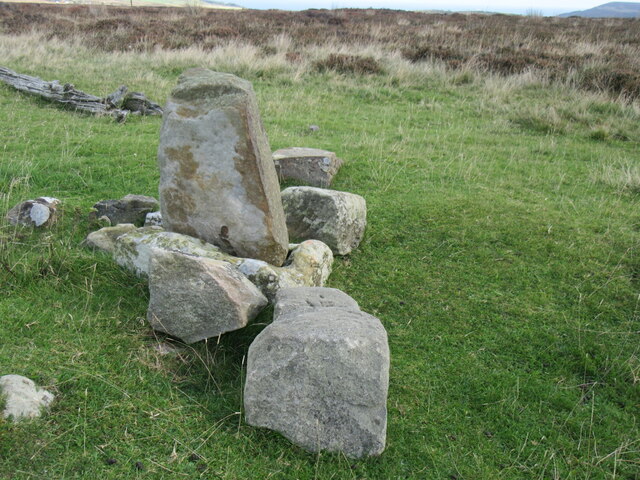
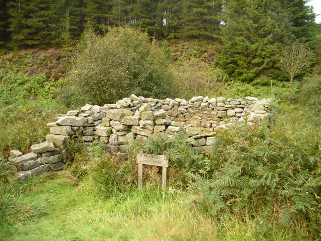
In addition to its natural beauty, Biller Howe Dale has a rich history dating back centuries. The valley was once home to a thriving mining industry, and remnants of this industrial past can still be seen in the form of old mine shafts and buildings.

Overall, Biller Howe Dale is a truly special place, offering visitors the opportunity to immerse themselves in nature, explore its history, and enjoy the peaceful surroundings of this idyllic valley in Yorkshire.

If you have any feedback on the listing, please let us know in the comments section below.

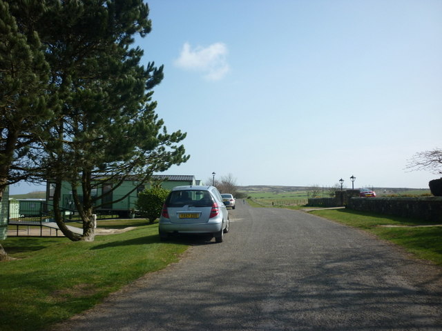
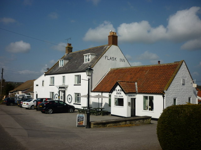
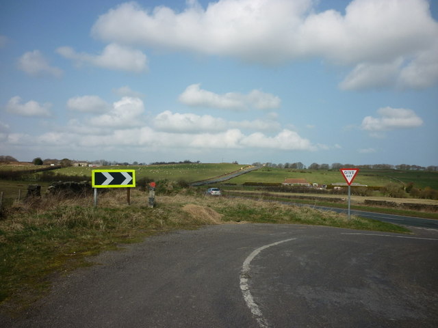
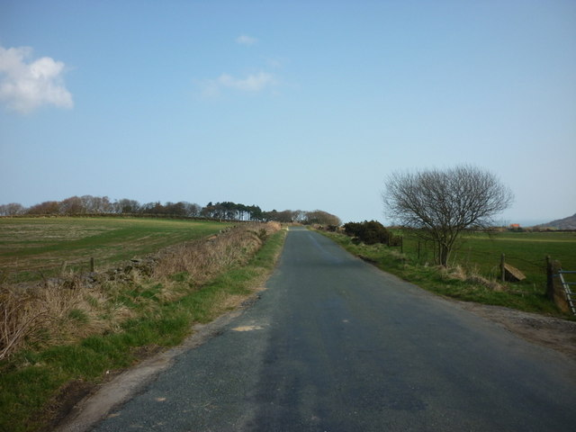
Biller Howe Dale Images

Images are sourced within 2km of 54.401789/-0.59081838 or Grid Reference NZ9101. Thanks to Geograph Open Source API. All images are credited.

John Cross The 'stump' that is called John Cross.
John Cross
The 'stump' that is called John Cross.
Shooting House Rigg Looking east to the east of John Cross.
Shooting House Rigg
Looking east to the east of John Cross.
Robin Hood's Bay Road Now just a muddy path.
Robin Hood's Bay Road
Now just a muddy path.
Low Moor Moorland south of the B1416
Low Moor
Moorland south of the B1416
Bridleway through woodland to Ramsdale
Gate on footpath to Kettle Well Cottage
Mucky Hole Slack, Fylingdales Moor
Old Track Between Ewe Pond Slack and Mucky Hole Slack A long gulley follows the 220m contour between these two streams descending slightly to cross them. I can only assume it's a section of an ancient track possibly for the transport of peat and heather.
Old Track Between Ewe Pond Slack and Mucky Hole Slack
A long gulley follows the 220m contour between these two streams descending slightly to cross them. I can only assume it's a section of an ancient track possibly for the transport of peat and heather.
Waterfall, Mucky Hole Slack A bit of a dilemma this one. My GPS said I was 2 metres inside SE9199 at the top of the fall. Moving into position it then said 5 metres inside NZ9100. As it was stating an accuracy was of 8 metres it could be in either.
Waterfall, Mucky Hole Slack
A bit of a dilemma this one. My GPS said I was 2 metres inside SE9199 at the top of the fall. Moving into position it then said 5 metres inside NZ9100. As it was stating an accuracy was of 8 metres it could be in either.
Fylingdales Moor October and most of the heather has now died off but this variety persists leaving a touch of colour in an otherwise gloomy scene.
Fylingdales Moor
October and most of the heather has now died off but this variety persists leaving a touch of colour in an otherwise gloomy scene.
John Bonds Sheep House An old sheep pen
John Bonds Sheep House
An old sheep pen
Bridleway/Footpath Junction Near to the head of Biller Howe Dale Slack.
Bridleway/Footpath Junction
Near to the head of Biller Howe Dale Slack.
The caravan site next to the Flask Inn
The Flask Inn, on the A171
Joining the A171 from the Flask Inn layby
Bridge Holm Lane, to Boggle Hole Youth Hostel
The way to HoGarth Hill #1
The way to HoGarth Hill #2
Show me another place!

Biller Howe Dale is located at Grid Ref: NZ9101 (Lat: 54.401789, Lng: -0.59081838)

Division: North Riding

Administrative County: North Yorkshire

District: Scarborough

Police Authority: North Yorkshire

What 3 Words

///constrain.shows.amicably. Near Sleights, North Yorkshire

Related Wikis

Fyling Hall railway station

Fyling Hall railway station was a railway station on the Scarborough & Whitby Railway. It opened on 16 July 1885, and was named after Fyling Hall, near...

The Pigsty

The Pigsty is a folly located next to Fyling Hall School, near Robin Hood's Bay, North Yorkshire, England. It is a Grade II* listed wooden building that...
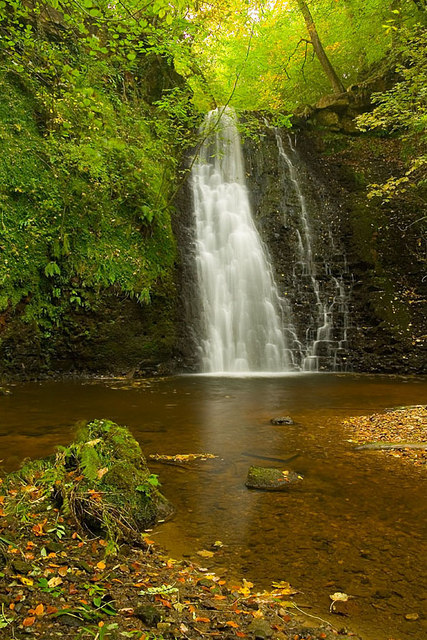
Falling Foss

Falling Foss is a waterfall that lies in the north-east section of The North York Moors National Park and is a popular spot for walking. It is 5 miles...

Fyling Hall School

Fyling Hall is a private, co-educational day and boarding school situated near the small village of Fylingthorpe, near Robin Hood's Bay, 7 miles (11 km...

Nearby Amenities

Located within 500m of 54.401789,-0.59081838
Archaeological Site: tumulus
Historic: archaeological_site
Source: OS 1:25k
Lat/Long: 54.40462/-0.5889241
Archaeological Site: tumulus
Historic: archaeological_site
Source: OS 1:25k
Lat/Long: 54.4053444/-0.5881538
Archaeological Site: tumulus
Historic: archaeological_site
Source: OS 1:25k
Lat/Long: 54.404369/-0.5885808
Archaeological Site: tumulus
Historic: archaeological_site
Source: OS 1:25k
Lat/Long: 54.4052945/-0.5866947
Archaeological Site: tumulus
Historic: archaeological_site
Source: OS 1:25k
Lat/Long: 54.4047699/-0.5877246
Archaeological Site: tumulus
Historic: archaeological_site
Source: OS 1:25k
Lat/Long: 54.4043965/-0.5881967
Archaeological Site: tumulus
Historic: archaeological_site
Source: OS 1:25k
Lat/Long: 54.4040467/-0.5882396
Archaeological Site: tumulus
Historic: archaeological_site
Source: OS 1:25k
Lat/Long: 54.4050447/-0.5882396
Archaeological Site: tumulus
Historic: archaeological_site
Source: OS 1:25k
Lat/Long: 54.4041217/-0.5888812
Archaeological Site: tumulus
Historic: archaeological_site
Source: OS 1:25k
Lat/Long: 54.4054206/-0.5872955
The data included in this document is from www.openstreetmap.org. The data is made available under ODbL.

Have you been to Biller Howe Dale?

Leave your review of Biller Howe Dale below (or comments, questions and feedback).