Netherby Dale

Valley in Yorkshire Ryedale

England

Netherby Dale

View down Oxdale The final Geograph to complete Hectad SE88.
View down Oxdale Credit: Phil Catterall

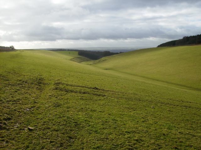
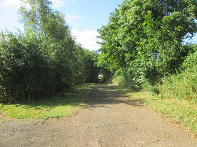
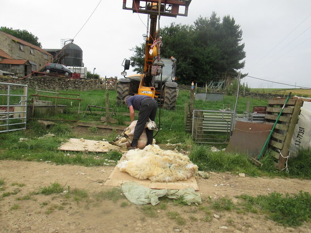
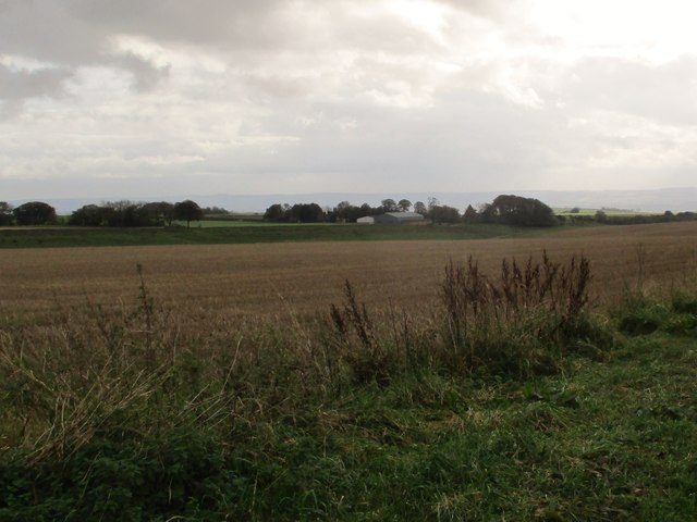
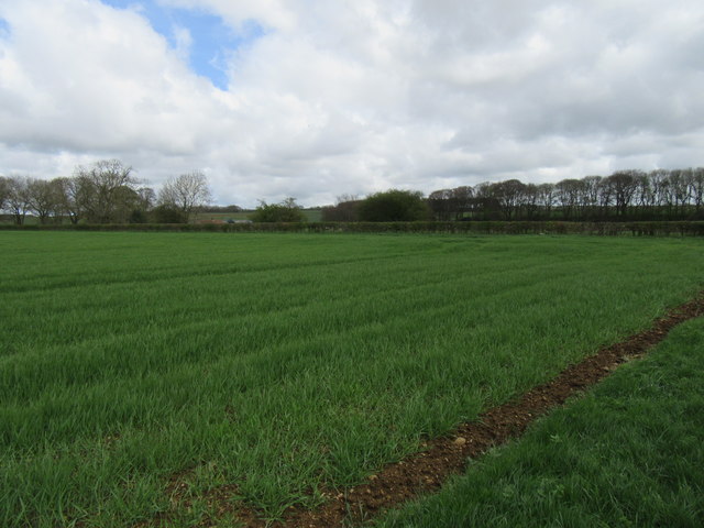
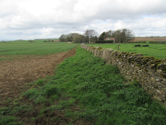
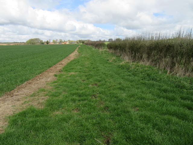
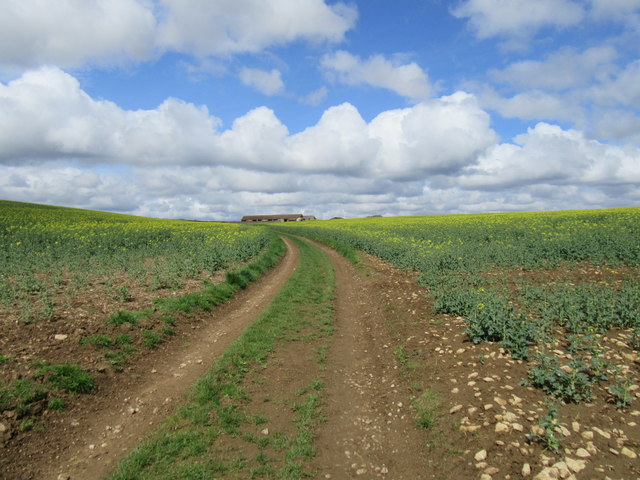
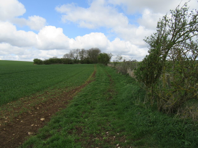
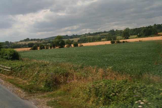
Nestled in the heart of Yorkshire, Netherby Dale is a picturesque valley that showcases the stunning natural beauty of the region. Located in the north of England, this idyllic dale is surrounded by rolling hills, lush green meadows, and meandering streams, offering a tranquil escape from the hustle and bustle of city life.

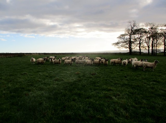
Netherby Dale is renowned for its diverse wildlife and rich biodiversity. The valley is home to a wide range of flora and fauna, including rare wildflowers, birds, and mammals. Nature lovers and birdwatchers flock to the area to catch a glimpse of the elusive species that call this valley their home.

The dale is crisscrossed by numerous walking trails, allowing visitors to explore its hidden gems. From leisurely strolls to challenging hikes, there is something for everyone in Netherby Dale. As you wander through the valley, you will be greeted by breathtaking panoramic views at every turn, with the rolling hills providing a stunning backdrop.

Aside from its natural beauty, Netherby Dale also boasts a rich history. The valley is dotted with ancient ruins, including old stone cottages and remnants of a medieval castle. These historical sites offer a glimpse into the past and the lives of those who once inhabited this charming area.

Whether you are a nature enthusiast, history buff, or simply seeking solace in a serene environment, Netherby Dale is a must-visit destination. Its unspoiled beauty, diverse wildlife, and rich history make it a truly captivating place to explore in the heart of Yorkshire.

If you have any feedback on the listing, please let us know in the comments section below.

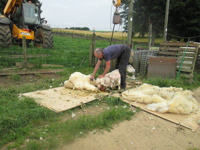
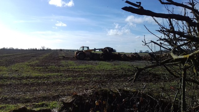
Netherby Dale Images

Images are sourced within 2km of 54.243657/-0.61829611 or Grid Reference SE9083. Thanks to Geograph Open Source API. All images are credited.

View down Oxdale The final Geograph to complete Hectad SE88.
View down Oxdale
The final Geograph to complete Hectad SE88.
Tree beside the A170 at the crest of Coulton Cliff
A170 heads east near Hazel Hall Farm
A170 at Borough of Scarborough boundary
Cliff  Lane  (Track)  which goes into Snainton It enters Snainton by the Pinfold
Cliff Lane (Track) which goes into Snainton
It enters Snainton by the Pinfold
A170 entering the District of Rydale West of Snainton.
A170 entering the District of Rydale
West of Snainton.
A170 rising towards Ebberston The road subsequently drops down into the village.
A170 rising towards Ebberston
The road subsequently drops down into the village.
Sheep  shearing  at  Moorsome  Farm  (1) The motor for the clippers is hung overhead from the arm of the JCB
Sheep shearing at Moorsome Farm (1)
The motor for the clippers is hung overhead from the arm of the JCB
Sheep  shearing  at  Moorsome  Farm  (2) Fleece almost off
Sheep shearing at Moorsome Farm (2)
Fleece almost off
The Ram is now earning his keep The ram is centre stage in this flock at Moorsome Farm, he has his harness on with marker pad which informs the farmer which ewes he has covered, five in this photo have a red patch on their fleece.
The Ram is now earning his keep
The ram is centre stage in this flock at Moorsome Farm, he has his harness on with marker pad which informs the farmer which ewes he has covered, five in this photo have a red patch on their fleece.
Stubble  field  on  Scamridge  toward  Scamridge  Slack On the far side of the slack are the barns of Malton Cote Farm. In the distance over the Vale of Pickering are the Yorkshire Wolds
Stubble field on Scamridge toward Scamridge Slack
On the far side of the slack are the barns of Malton Cote Farm. In the distance over the Vale of Pickering are the Yorkshire Wolds
Near Malton Cote Looking NE from the bridleway.
Near Malton Cote
Looking NE from the bridleway.
Malton Cote bridleway A very bumpy cycle route.
Malton Cote bridleway
A very bumpy cycle route.
Fieldside bridleway Looking north.
Fieldside bridleway
Looking north.
Hog Pasture Buildings Hog Pasture Buildings ahead.
Hog Pasture Buildings
Hog Pasture Buildings ahead.
Near Well Dale Bridleway near Well Dale.
Near Well Dale
Bridleway near Well Dale.
North of the B1258 leaving Snainton
Muck spreading near Thorn Dikes
Show me another place!

Netherby Dale is located at Grid Ref: SE9083 (Lat: 54.243657, Lng: -0.61829611)

Division: North Riding

Administrative County: North Yorkshire
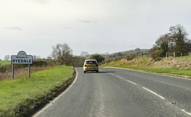
District: Ryedale

Police Authority: North Yorkshire

What 3 Words

///crinkled.jammy.running. Near Thornton Dale, North Yorkshire

Nearby Locations

Beech Plump Netherby Dale

Related Wikis

Ebberston Hall

Ebberston Hall is a Grade II* listed country house in Ebberston, North Yorkshire, England. It was constructed during 18th century for William Thompson...

Marske Hall, Richmondshire

Marske Hall is a Grade II* listed country house in Marske, North Yorkshire, England. == History == Markse Hall was bought in 1596 by the then Archbishop...

Ebberston

Ebberston is a village and former civil parish, now in the parish of Ebberston and Yedingham in North Yorkshire, England, and is 34 miles (55 km) east...

St John's Church, Allerston

St John's Church, Allerston is a Grade II* listed Parish church in Allerston, North Yorkshire, England.The building dates back to the early 14th century...

Nearby Amenities

Located within 500m of 54.243657,-0.61829611
Passing Place
Lat/Long: 54.2397548/-0.6195923
Passing Place
Lat/Long: 54.2406345/-0.6190451
Passing Place
Lat/Long: 54.2422825/-0.6184229
Passing Place
Lat/Long: 54.2454326/-0.6169145
Passing Place
Lat/Long: 54.2471649/-0.6161052
Passing Place
Lat/Long: 54.2441664/-0.6175645
The data included in this document is from www.openstreetmap.org. The data is made available under ODbL.

Have you been to Netherby Dale?

Leave your review of Netherby Dale below (or comments, questions and feedback).