Beech Plump
Wood, Forest in Yorkshire Ryedale
England
Beech Plump
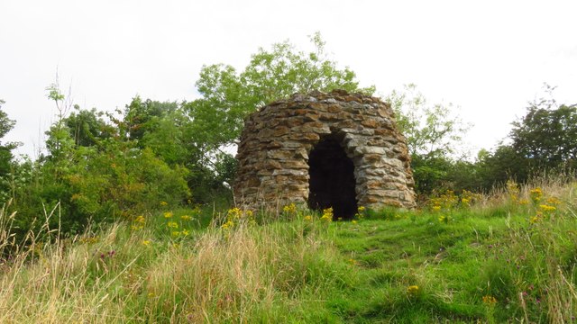
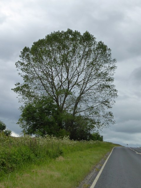
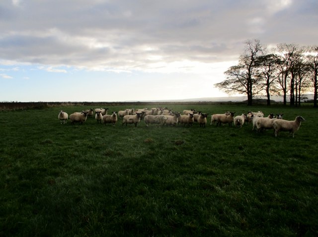
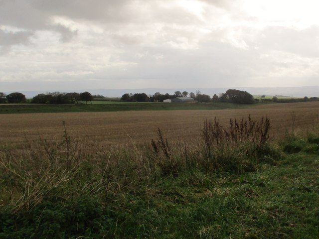
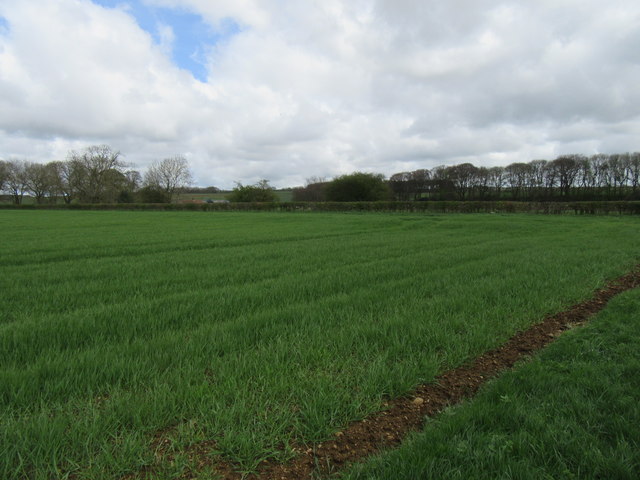
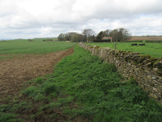
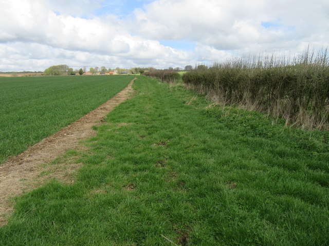
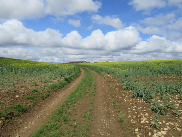
Beech Plump, located in Yorkshire, is a picturesque woodland area renowned for its dense beech forest. Situated in the heart of Yorkshire, it covers a vast expanse of land, making it a popular destination for nature enthusiasts and hikers alike.
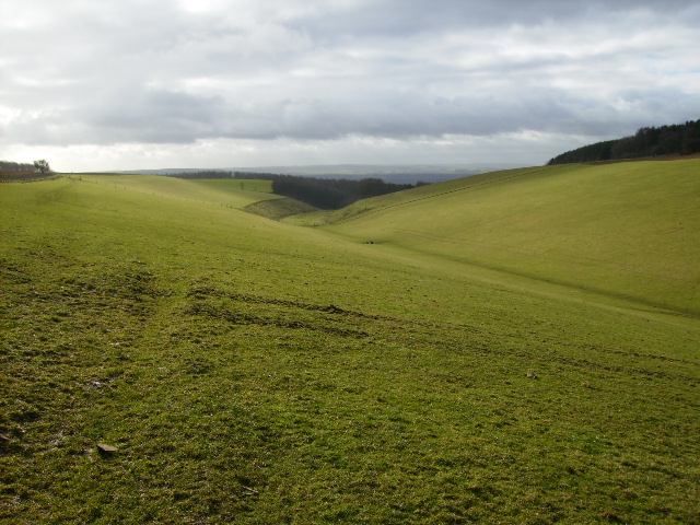
The forest of Beech Plump is characterized by its towering beech trees, which provide a serene and enchanting atmosphere. The dense canopy created by these trees filters sunlight, casting a beautiful dappled light across the forest floor. The woodland is home to an array of wildlife, including birds, deer, and various small mammals, adding to its natural charm.
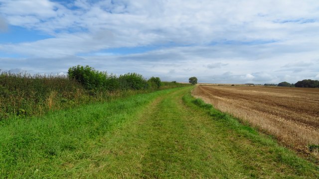
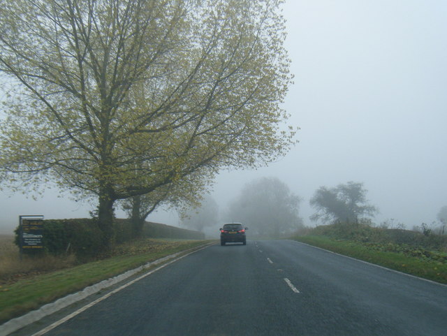
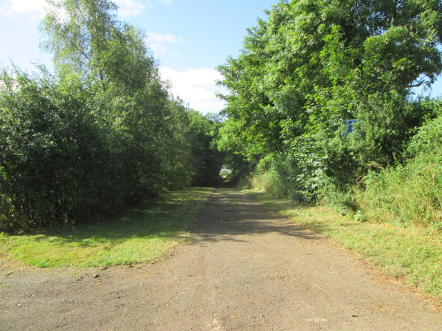
The woodland trails in Beech Plump offer visitors the opportunity to explore and immerse themselves in the tranquility of nature. The paths wind through the forest, meandering past babbling brooks and offering breathtaking views of the surrounding landscape. These trails cater to both casual strollers and experienced hikers, with varying degrees of difficulty to suit different preferences.
Beech Plump is also known for its vibrant flora, with a diverse range of wildflowers and plants scattered throughout the forest. In spring, the forest floor is carpeted with bluebells, creating a stunning display of color. The changing seasons bring their own unique charm, with autumn painting the woodland in vibrant hues of red, orange, and gold.
For those seeking a peaceful retreat or a connection with nature, Beech Plump in Yorkshire offers an idyllic setting. Its lush beech forest, abundant wildlife, and well-maintained trails make it a must-visit destination for nature lovers and outdoor enthusiasts.
If you have any feedback on the listing, please let us know in the comments section below.
Beech Plump Images
Images are sourced within 2km of 54.242819/-0.61422671 or Grid Reference SE9083. Thanks to Geograph Open Source API. All images are credited.
Beech Plump is located at Grid Ref: SE9083 (Lat: 54.242819, Lng: -0.61422671)
Division: North Riding
Administrative County: North Yorkshire
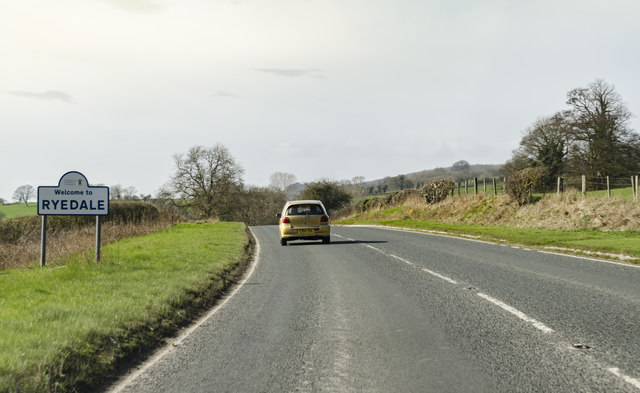
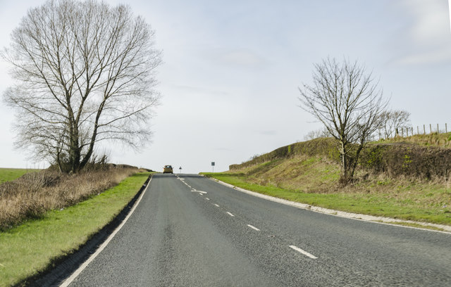
District: Ryedale
Police Authority: North Yorkshire
What 3 Words
///adopters.satellite.nurture. Near Thornton Dale, North Yorkshire
Nearby Locations
Related Wikis

Ebberston Hall
Ebberston Hall is a Grade II* listed country house in Ebberston, North Yorkshire, England. It was constructed during 18th century for William Thompson...

Marske Hall, Richmondshire
Marske Hall is a Grade II* listed country house in Marske, North Yorkshire, England. == History == Markse Hall was bought in 1596 by the then Archbishop...

Ebberston
Ebberston is a village and former civil parish, now in the parish of Ebberston and Yedingham in North Yorkshire, England, and is 34 miles (55 km) east...

Snainton
Snainton is a village and civil parish in North Yorkshire, England. According to the 2011 UK Census, Snainton parish had a population of 754, a decrease...

Wydale Hall
Wydale Hall is a Christian Conference centre run by the Diocese of York. The house is located near Brompton-by-Sawdon in the foothills of the North York...

Snainton railway station
Snainton railway station was situated on the North Eastern Railway's Pickering to Seamer branch line. It served the village of Snainton, North Yorkshire...

Allerston
Allerston is a village and civil parish in North Yorkshire, England, about 5 miles (8 km) east of Pickering. According to the 2001 census, the parish had...
Ebberston railway station
Ebberston railway station was situated on the North Eastern Railway's Pickering to Seamer branch line. It served the villages of Allerston, Ebberston...
Nearby Amenities
Located within 500m of 54.242819,-0.61422671Have you been to Beech Plump?
Leave your review of Beech Plump below (or comments, questions and feedback).