Middle Dale

Valley in Yorkshire

England

Middle Dale

Sancton Village Hall
Sancton Village Hall Credit: JThomas

Middle Dale is a picturesque valley located in Yorkshire, England. Nestled within the Yorkshire Dales National Park, this idyllic rural landscape is known for its stunning natural beauty and tranquil atmosphere. Middle Dale is situated between two larger dales, Upper Dale and Lower Dale, and is renowned for its rolling hills, lush green meadows, and meandering streams.

The valley is scattered with charming stone cottages, traditional farmhouses, and quaint villages, showcasing the region's rich history and heritage. Middle Dale's landscape is dominated by dry-stone walls, which have been meticulously crafted by generations of farmers to divide the land and enclose the fields. These walls not only add to the area's unique character but also serve as a reminder of the traditional agricultural practices that have shaped the valley over the centuries.

The valley is a haven for outdoor enthusiasts and nature lovers alike. With an extensive network of footpaths and bridleways, Middle Dale offers ample opportunities for walking, hiking, and cycling, allowing visitors to explore its breathtaking scenery at their own pace. Wildlife enthusiasts will be delighted by the diverse range of species that call this valley home, including red squirrels, roe deer, and a variety of bird species.

Middle Dale's charm extends beyond its natural beauty. The local community is warm and welcoming, with traditional pubs and tearooms offering a taste of Yorkshire hospitality. The valley also hosts a range of events throughout the year, including agricultural shows and traditional festivals, providing visitors with a glimpse into the vibrant local culture.

In conclusion, Middle Dale in Yorkshire is a captivating valley, boasting stunning landscapes, rich history, and a close-knit community. It is a destination that offers a peaceful retreat for those seeking to immerse themselves in the beauty of the Yorkshire Dales.

If you have any feedback on the listing, please let us know in the comments section below.
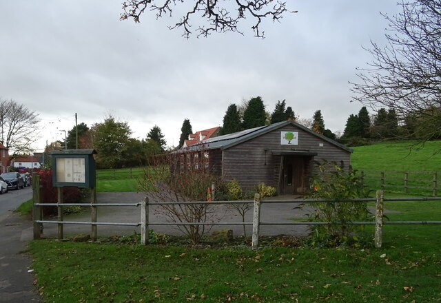
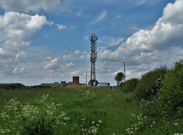
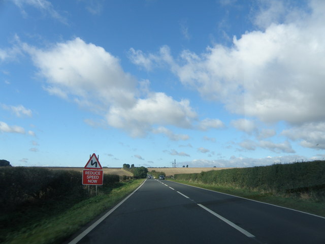
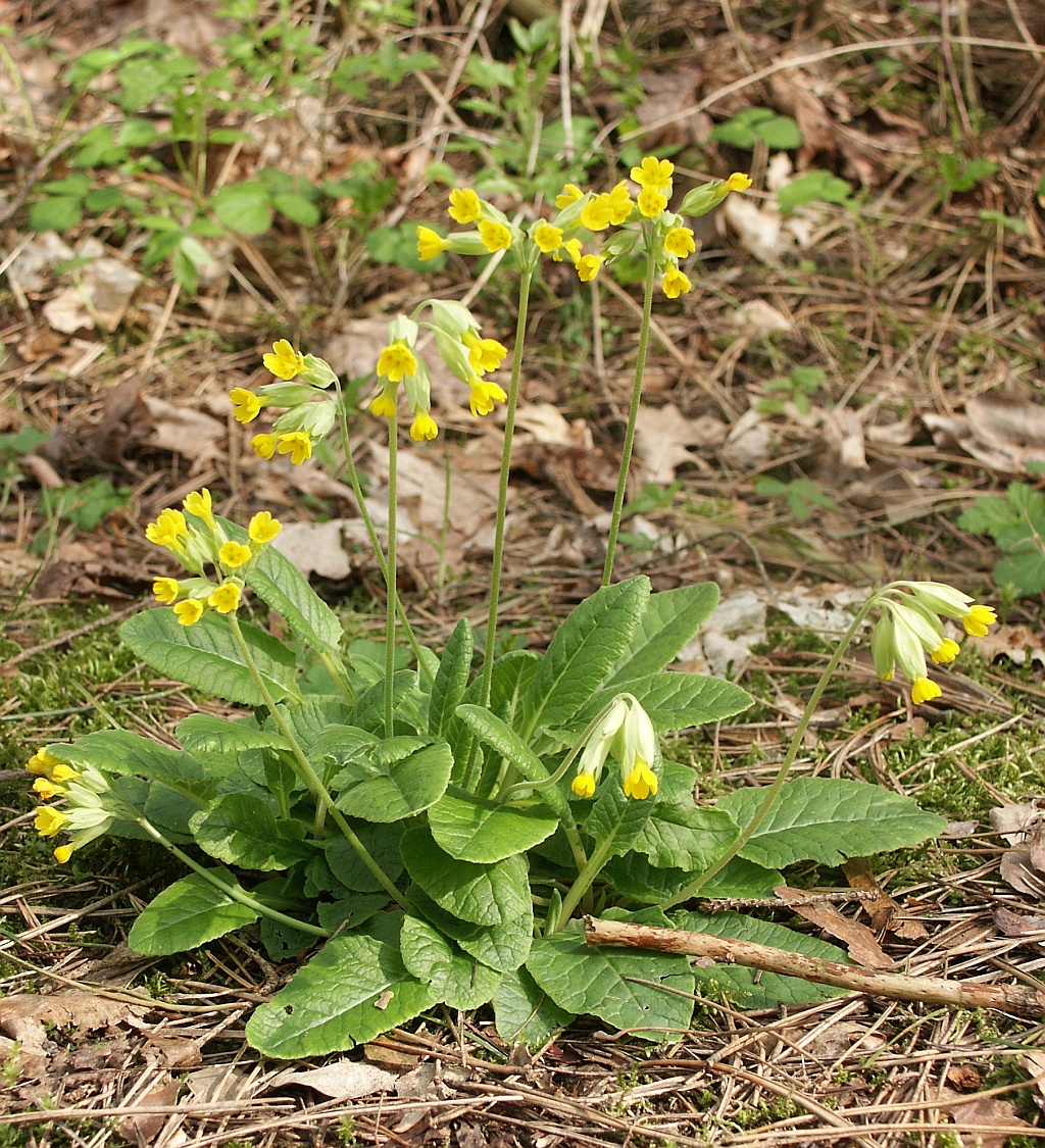
Middle Dale Images

Images are sourced within 2km of 53.860404/-0.63740076 or Grid Reference SE8941. Thanks to Geograph Open Source API. All images are credited.

Sancton Village Hall
Telecommunications mast at Arras Reservoir
Hudson Way east of a road to Goodmanham The Hudson Way runs along the former York to Hull via Market Weighton railway line between Beverley and Market Weighton.
Hudson Way east of a road to Goodmanham
The Hudson Way runs along the former York to Hull via Market Weighton railway line between Beverley and Market Weighton.
Goat along the Hudson Way A friendly goat looking over a gate onto the Hudson Way.
Goat along the Hudson Way
A friendly goat looking over a gate onto the Hudson Way.
Cattle field beside the Hudson Way Looking over a gate into a field to the north of the Hudson Way.
Cattle field beside the Hudson Way
Looking over a gate into a field to the north of the Hudson Way.
Gate on the Hudson Way The Hudson Way runs along the former York to Hull via Market Weighton railway line between Beverley and Market Weighton.
Gate on the Hudson Way
The Hudson Way runs along the former York to Hull via Market Weighton railway line between Beverley and Market Weighton.
Field beside Spring Road Compare with <a href="https://www.geograph.org.uk/photo/32311">SE9042 : Near Goodmanham</a> from 19 years earlier.
Field beside Spring Road
Compare with SE9042 : Near Goodmanham from 19 years earlier.
Track crossing the Hudson Way A track connects Spring Road to a field crossing the Hudson Way cycle path.
Track crossing the Hudson Way
A track connects Spring Road to a field crossing the Hudson Way cycle path.
Hudson Way north of Spring Road The Hudson Way runs along the former York to Hull via Market Weighton railway line between Beverley and Market Weighton.
Hudson Way north of Spring Road
The Hudson Way runs along the former York to Hull via Market Weighton railway line between Beverley and Market Weighton.
Along Spring Road National Cycle Network route 66 runs along here.
Along Spring Road
National Cycle Network route 66 runs along here.
Road through Springwell Field
The masts on top of Arras Hill
A layby on the A1079 at Arras Hill
Heading down hill on Arras Hill
Approaching  Arras  Hill  on  the  A1079 The top of Arras Hill is at the masts before that the A1079 goes into a dip and two corners, this is the usual place for the road to be closed in snow or ice. I have seen five cars off the road on the left hand side at one time, this was my commute to work for nine years
Approaching Arras Hill on the A1079
The top of Arras Hill is at the masts before that the A1079 goes into a dip and two corners, this is the usual place for the road to be closed in snow or ice. I have seen five cars off the road on the left hand side at one time, this was my commute to work for nine years
From  Wold  to  Vale The A1079 dropping down from the Yorkshire Wolds into the Vale of York.Wonderful views from here on a clear day right across to the Pennines.
From Wold to Vale
The A1079 dropping down from the Yorkshire Wolds into the Vale of York.Wonderful views from here on a clear day right across to the Pennines.
Layby  on  Weighton  Hill The map states Weighton but it is known to all as Arras Hill, after the wold, farm and reservoir at the top.The layby is a busy place during the week with a mobile cafe.
Layby on Weighton Hill
The map states Weighton but it is known to all as Arras Hill, after the wold, farm and reservoir at the top.The layby is a busy place during the week with a mobile cafe.
View from Weighton Wold Left of centre is the trig point (no. BM S6291), to the right is an apparently redundant installation which looks as if it had something to do with the reservoir up here.
View from Weighton Wold
Left of centre is the trig point (no. BM S6291), to the right is an apparently redundant installation which looks as if it had something to do with the reservoir up here.
Show me another place!

Middle Dale is located at Grid Ref: SE8941 (Lat: 53.860404, Lng: -0.63740076)

Division: East Riding

Unitary Authority: East Riding of Yorkshire

Police Authority: Humberside

What 3 Words

///flat.pavilions.flukes. Near Market Weighton, East Yorkshire

Nearby Locations

Middle Dale

Related Wikis

Rifle Butts Quarry

Rifle Butts Quarry is a Site of Special Scientific Interest (SSSI) in the East Riding of Yorkshire, England. The particular interest of this reserve is...

The Market Weighton School

The Market Weighton School is a coeducational secondary school located in Market Weighton in the East Riding of Yorkshire, England.It is a community school...

Market Weighton

Market Weighton ( WEE-tən) is a town and civil parish in the East Riding of Yorkshire, England. It is one of the main towns in the East Yorkshire Wolds...

Vixen 101

Vixen 101 (or Vixen 87 as it was originally known) is a community radio organisation based in the town of Market Weighton, East Riding of Yorkshire, England...

Nearby Amenities

Located within 500m of 53.860404,-0.63740076
Middledale Farm Fuse
Material: wood
Power: pole
Ref: L809-1
Switch: circuit_breaker
Lat/Long: 53.8580545/-0.6438595
Material: wood
Power: pole
Ref: L809-2
Lat/Long: 53.858248/-0.6424572
Material: wood
Power: pole
Ref: L809-3
Lat/Long: 53.8584337/-0.6411026
Material: wood
Power: pole
Ref: L809-4
Lat/Long: 53.8586197/-0.6397661
Middledale Farm SS 557
Material: wood
Power: pole
Ref: L809-5
Transformer: distribution
Lat/Long: 53.8588061/-0.6384145
Material: wood
Power: pole
Ref: L809-6
Lat/Long: 53.8590139/-0.6368028
Wold Cottages
Material: wood
Power: pole
Ref: L809-7
Transformer: distribution
Lat/Long: 53.8592345/-0.6352281
Material: wood
Power: pole
Lat/Long: 53.8598327/-0.6345585
Material: wood
Power: pole
Lat/Long: 53.860466/-0.6338672
Material: wood
Power: pole
Lat/Long: 53.8610514/-0.6332206
Material: wood
Power: pole
Lat/Long: 53.861722/-0.6324896
Material: wood
Power: pole
Lat/Long: 53.860725/-0.6326672
Material: wood
Power: pole
Lat/Long: 53.8604204/-0.6321304
Material: wood
Power: pole
Lat/Long: 53.8601661/-0.6308728
The data included in this document is from www.openstreetmap.org. The data is made available under ODbL.

Have you been to Middle Dale?

Leave your review of Middle Dale below (or comments, questions and feedback).