Bartlow
Settlement in Cambridgeshire South Cambridgeshire
England
Bartlow
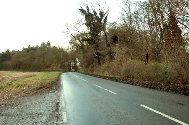
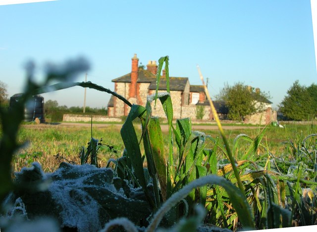
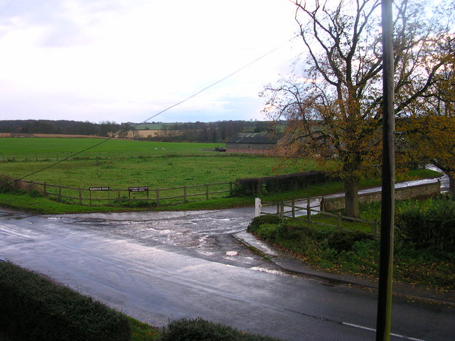
Bartlow is a small village located in the county of Cambridgeshire, England. Situated approximately 14 miles southeast of the city of Cambridge, Bartlow is a rural settlement with a population of around 200 residents. The village is nestled in the picturesque countryside, surrounded by rolling hills and farmland.
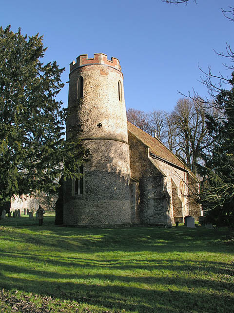
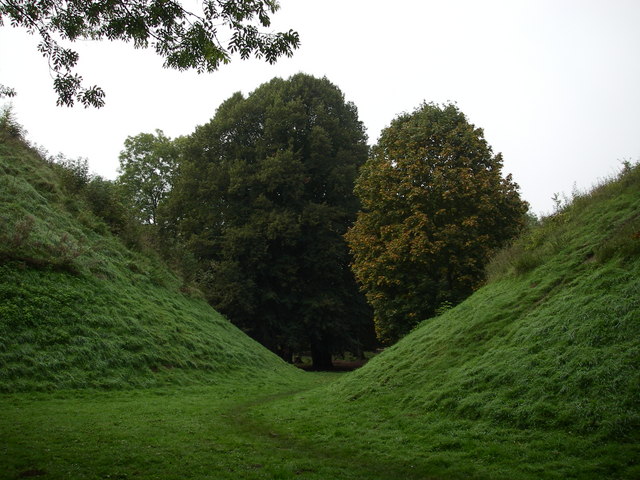
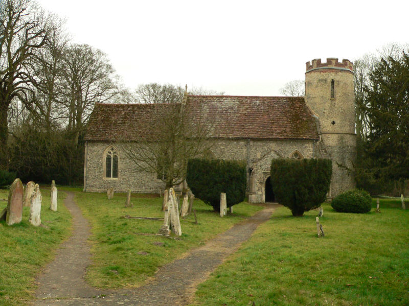
One of the notable features of Bartlow is its historic significance. The village is home to the Bartlow Hills, which are a group of four Roman burial mounds dating back to the 1st century AD. These mounds are the largest of their kind in the country and provide a glimpse into the area's rich history.
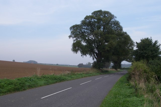
In addition to its historical heritage, Bartlow is known for its tranquil atmosphere and natural beauty. The village is surrounded by lush green fields and offers stunning views of the countryside. It is a popular destination for those seeking a peaceful retreat from the hustle and bustle of city life.
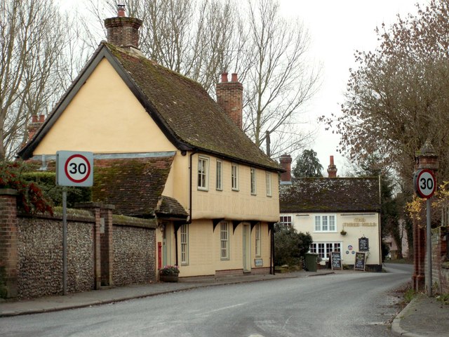
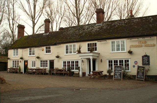
Despite its small size, Bartlow offers a few amenities to its residents and visitors. The village has a local pub, The Three Hills, which provides a cozy and friendly atmosphere. The pub also serves as a hub for community events and gatherings.
Overall, Bartlow is a charming village that offers a glimpse into both its historical past and the natural beauty of the Cambridgeshire countryside. Its peaceful ambiance and picturesque surroundings make it an ideal destination for those seeking tranquility and a connection to England's rich heritage.
If you have any feedback on the listing, please let us know in the comments section below.
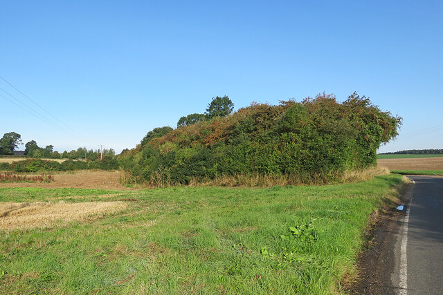
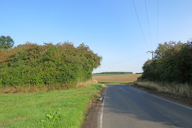
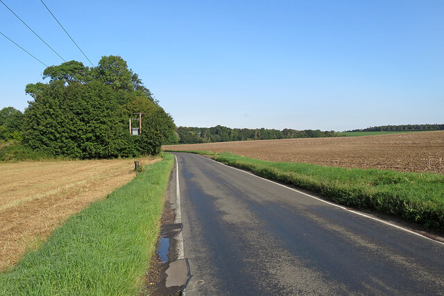
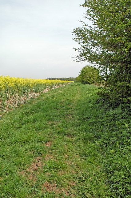
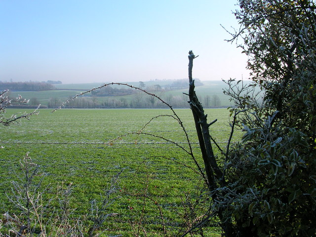
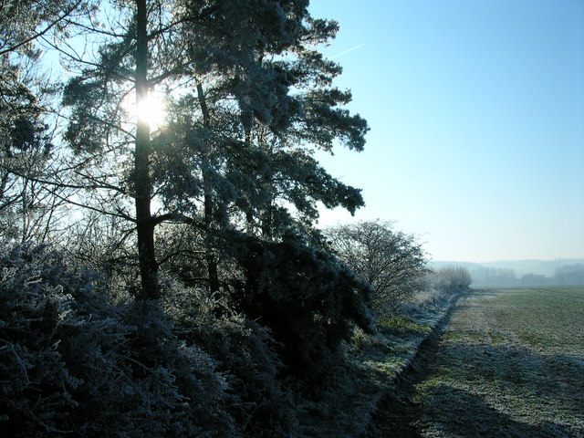
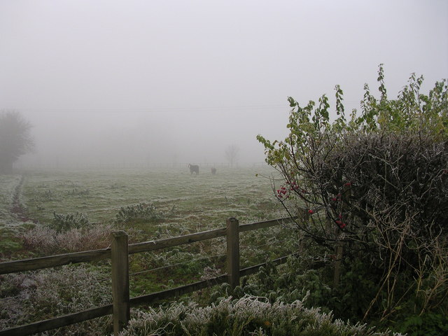
Bartlow Images
Images are sourced within 2km of 52.082973/0.31083 or Grid Reference TL5845. Thanks to Geograph Open Source API. All images are credited.


Bartlow is located at Grid Ref: TL5845 (Lat: 52.082973, Lng: 0.31083)
Administrative County: Cambridgeshire
District: South Cambridgeshire
Police Authority: Cambridgeshire
What 3 Words
///notch.maker.goggle. Near Linton, Cambridgeshire
Nearby Locations
Related Wikis
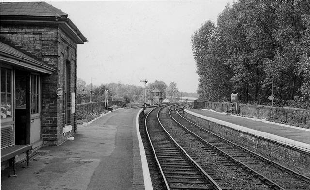
Bartlow railway station
Bartlow railway station was a station in Bartlow, Cambridgeshire on the Stour Valley Railway at the junction with the Saffron Walden Railway. There were...
Bartlow
Bartlow is a small village and civil parish in the South Cambridgeshire district of Cambridgeshire, England, about 12 miles (19 km) south-east of Cambridge...
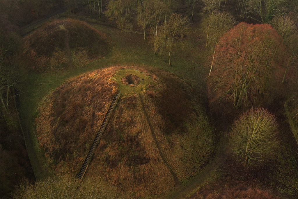
Bartlow Hills
Bartlow Hills is a Roman tumuli cemetery in Bartlow, Cambridgeshire, England. The site was in Essex until a boundary alteration in 1990. Four of the original...

Barham Friary
Barham Friary was a Crutched Friars friary in Linton, Cambridgeshire, England. It was established around 1272 and was dissolved in 1538. == References ==
Nearby Amenities
Located within 500m of 52.082973,0.31083Have you been to Bartlow?
Leave your review of Bartlow below (or comments, questions and feedback).