Bartley Green
Settlement in Worcestershire
England
Bartley Green
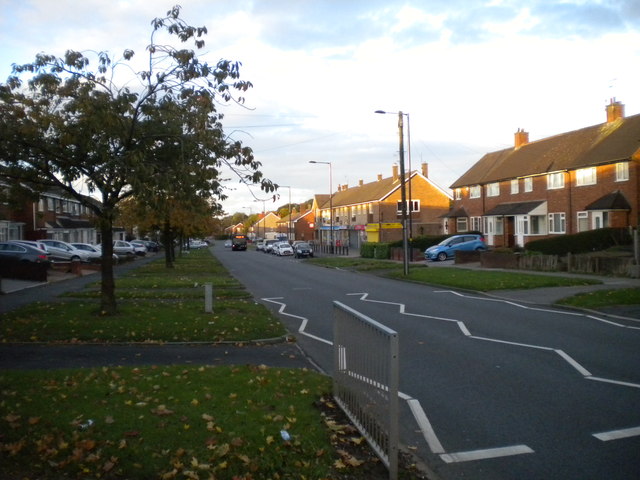
Bartley Green is a suburban area located in the southwestern part of Birmingham, West Midlands, England. It falls within the boundaries of Worcestershire County. This residential district is situated about 6 miles from Birmingham city center and is bordered by the neighborhoods of Quinton, Woodgate, and Weoley Castle.
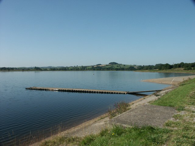
The area is known for its peaceful and tranquil atmosphere, making it a popular choice among families and professionals seeking a quieter environment. Bartley Green is characterized by a mix of housing options, including post-war council estates, semi-detached houses, and newer developments. The presence of several green spaces, such as Bartley Reservoir and Woodgate Valley Country Park, adds to the appeal of the area, providing residents with opportunities for recreational activities and leisurely walks.
Bartley Green benefits from good transportation links, with regular bus services connecting the area to Birmingham city center and surrounding regions. The nearby A456 road also provides easy access to the city and other major routes.
In terms of amenities, the area offers a range of local facilities, including a shopping precinct, supermarkets, restaurants, and pubs. Educational institutions in Bartley Green include Bartley Green School and Woodgate Primary School, catering to the educational needs of local children.
Overall, Bartley Green presents a pleasant and family-friendly environment, combining the convenience of suburban living with easy access to the bustling city of Birmingham.
If you have any feedback on the listing, please let us know in the comments section below.
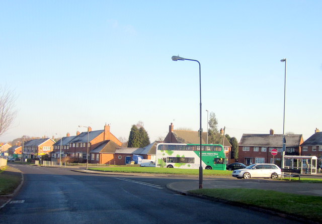
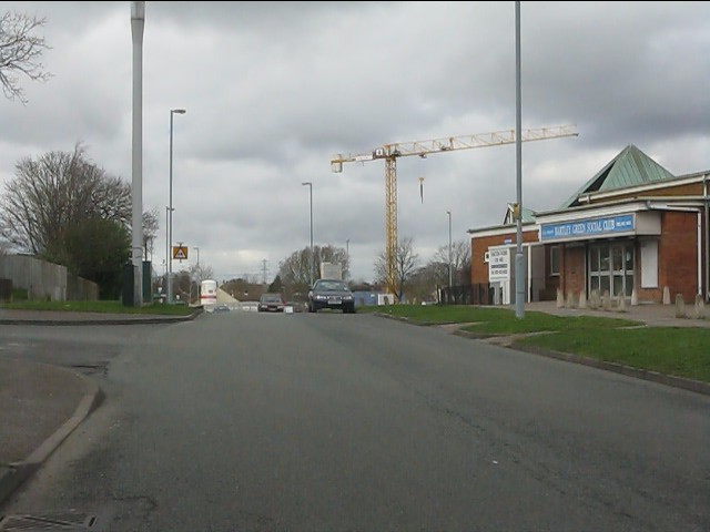
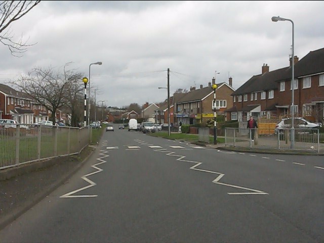
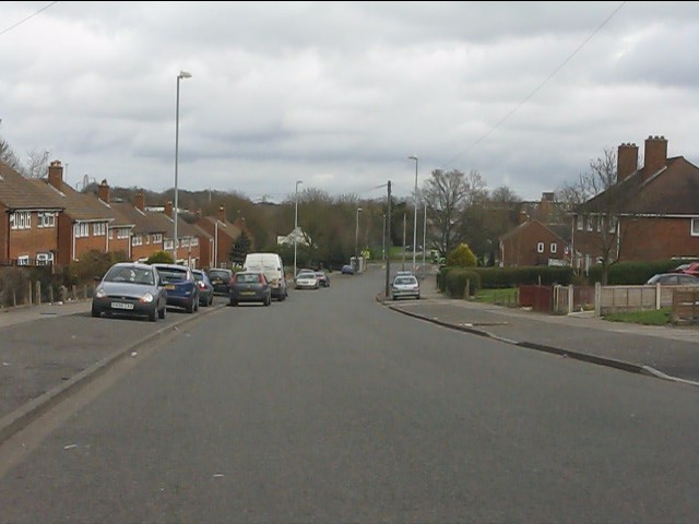
Bartley Green Images
Images are sourced within 2km of 52.435224/-1.985994 or Grid Reference SP0181. Thanks to Geograph Open Source API. All images are credited.


Bartley Green is located at Grid Ref: SP0181 (Lat: 52.435224, Lng: -1.985994)
Unitary Authority: Birmingham
Police Authority: West Midlands
What 3 Words
///years.debit.speak. Near Bartley Green, West Midlands
Nearby Locations
Related Wikis

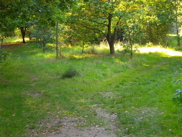
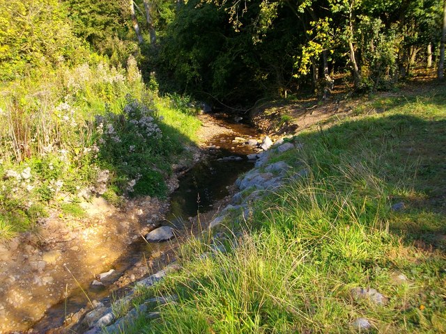
Senneleys Park
Senneleys Park is a public park located in Bartley Green, Birmingham, containing large open spaces, hedgerows and a tree-lined stream. Attractions include...

Birmingham Newman University
Birmingham Newman University is a public university based in the suburb of Bartley Green in Birmingham, England. The university was founded in 1968 as...
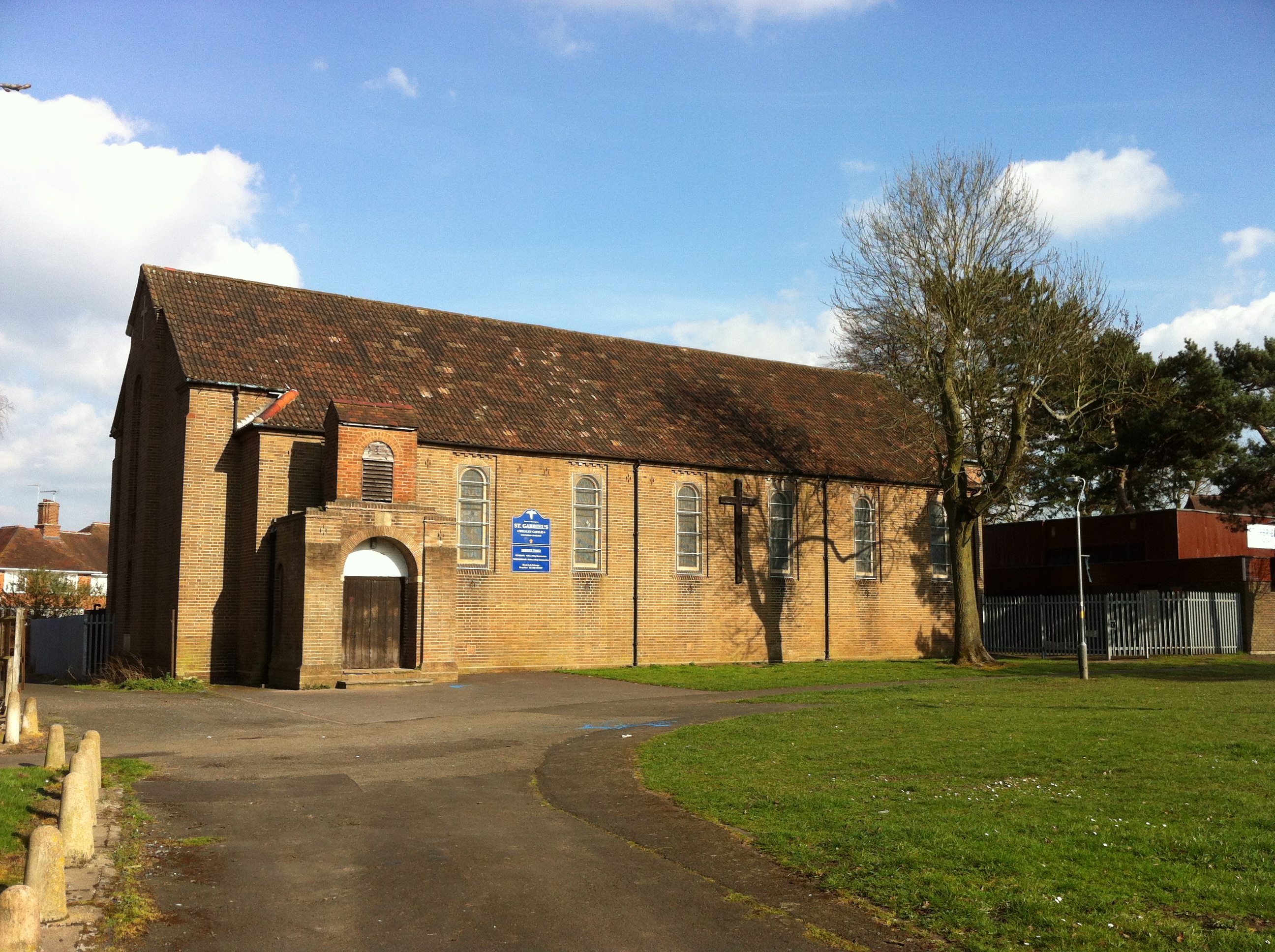
St Gabriel's Church, Weoley Castle
St. Gabriel's Church, Weoley Castle is a parish church in the Church of England located in Weoley Castle, Birmingham. == History == Neville Chamberlain...
Bartley Green
Bartley Green is a residential suburban area and electoral ward in Birmingham, England, 5 miles (8 km) south west of the city centre. The ward is part...
Nearby Amenities
Located within 500m of 52.435224,-1.985994Have you been to Bartley Green?
Leave your review of Bartley Green below (or comments, questions and feedback).