Long Bottom
Valley in Hampshire Rushmoor
England
Long Bottom
Long Bottom, Hampshire (Valley) is a picturesque rural village located in the county of Hampshire, England. Situated in the heart of the Hampshire Downs, it is surrounded by rolling hills, lush meadows, and charming countryside, making it an idyllic destination for nature lovers and outdoor enthusiasts.
The village is known for its tranquil atmosphere and close-knit community. With a population of around 500 residents, it retains a peaceful and unhurried pace of life. The architecture in Long Bottom is predominantly traditional, featuring charming thatched cottages and historic buildings that add to its quaint charm.
Long Bottom boasts a range of amenities that cater to the needs of its residents and visitors. The village is home to a well-stocked local store, a cozy pub serving delicious traditional fare, and a small primary school that serves the surrounding area. Additionally, the village hall hosts various community events, including fairs, exhibitions, and social gatherings, fostering a strong sense of community spirit.
Nature lovers will find plenty to explore in and around Long Bottom. The village is surrounded by beautiful countryside, offering numerous walking trails and scenic viewpoints. The nearby Hampshire Downs provide opportunities for hiking, cycling, and horse riding, allowing visitors to immerse themselves in the stunning natural beauty of the area.
Overall, Long Bottom, Hampshire (Valley) is a charming rural village that offers a peaceful retreat from the hustle and bustle of city life. With its breathtaking landscapes, friendly community, and range of amenities, it is an ideal destination for those seeking a quintessential English countryside experience.
If you have any feedback on the listing, please let us know in the comments section below.
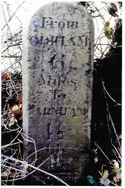
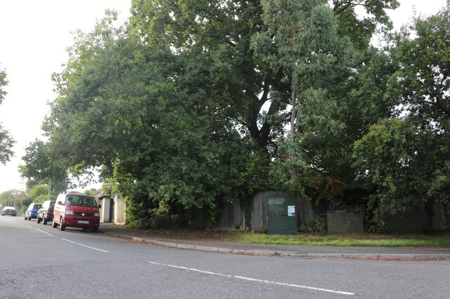
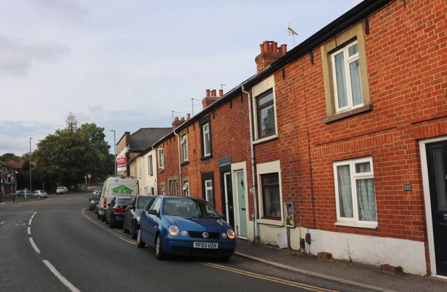
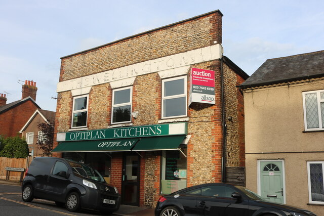
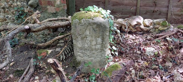
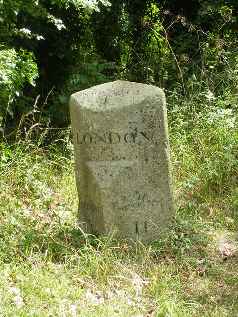
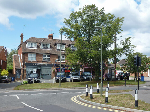
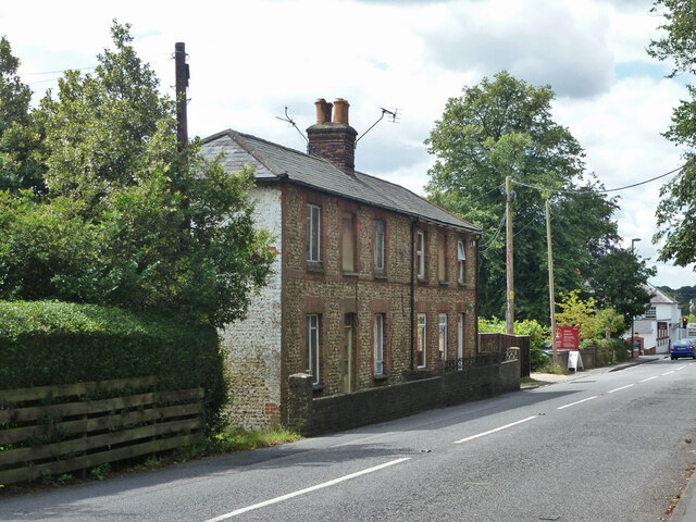
Long Bottom Images
Images are sourced within 2km of 51.240221/-0.79869113 or Grid Reference SU8349. Thanks to Geograph Open Source API. All images are credited.


Long Bottom is located at Grid Ref: SU8349 (Lat: 51.240221, Lng: -0.79869113)
Administrative County: Hampshire
District: Rushmoor
Police Authority: Hampshire
What 3 Words
///pipeline.memory.radically. Near Hale, Surrey
Nearby Locations
Related Wikis

Caesar's Camp, Rushmoor and Waverley
Caesar's Camp is an Iron Age hill fort straddling the border of the counties of Surrey and Hampshire in southern England. The fort straddles the borough...

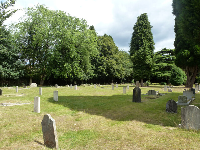
Upper Hale Cemetery, Farnham
Upper Hale Cemetery (also known as Hale Cemetery) is the burial ground for the district of Hale in Farnham in Surrey. Hale grew rapidly after 1854 when...

Heath End, Surrey
Heath End is a village in the Waverley district of Surrey, England, traditionally part of the large town parish of Farnham. Heath End is smaller in area...
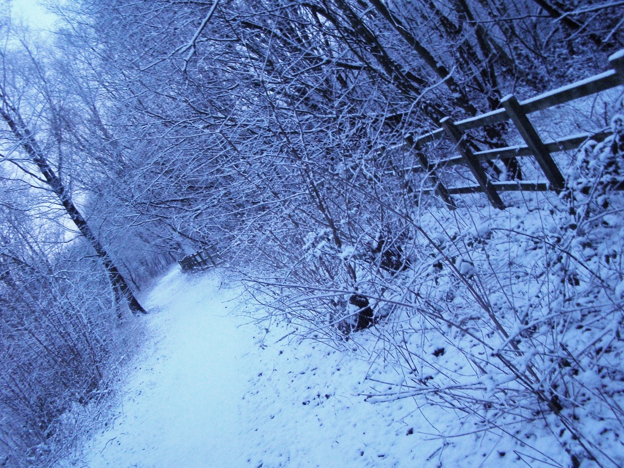
Blackwater Valley Path
The Blackwater Valley Path follows the River Blackwater from its source in the Rowhill Nature Reserve in Aldershot to just beyond the point where it...
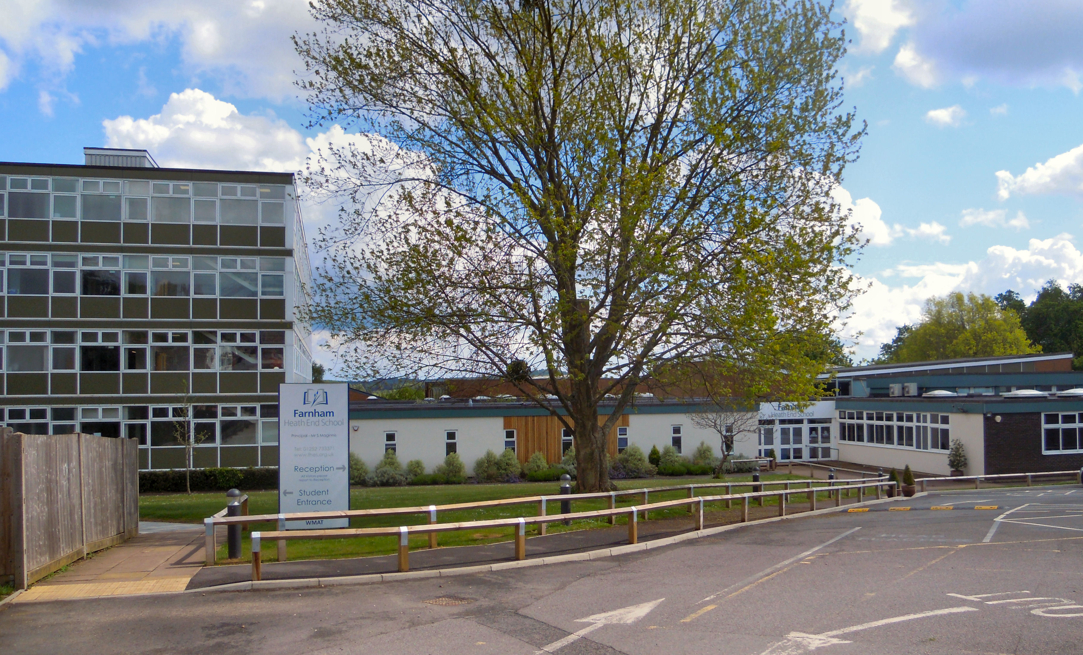
Farnham Heath End School
Farnham Heath End School is a mixed coeducational secondary school with academy status, in Heath End, Surrey, with roughly 900 pupils (987 as of 2021)...
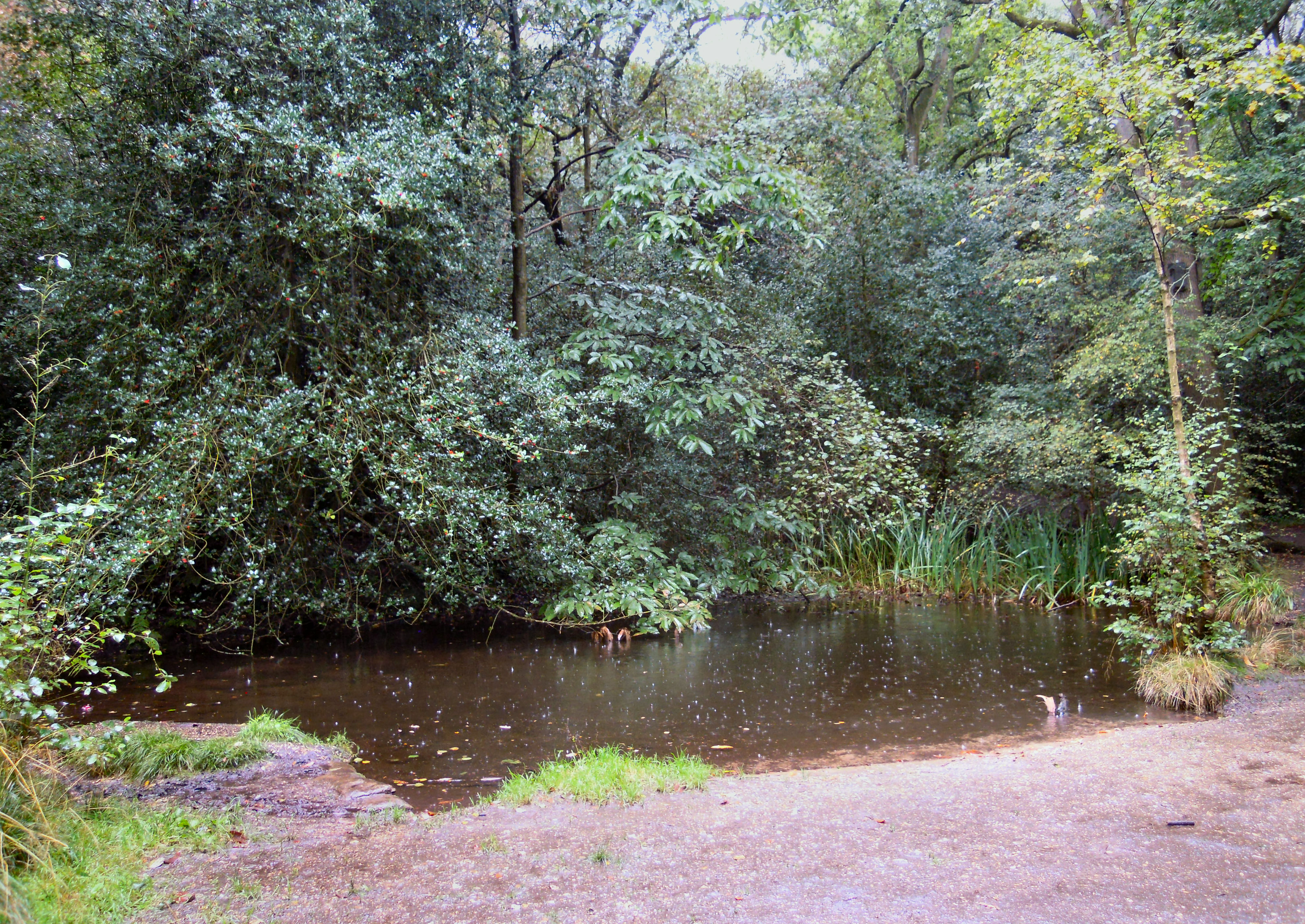
Rowhill Nature Reserve
Rowhill Nature Reserve or Rowhill Copse is a 26.6-hectare (66-acre) Local Nature Reserve (LNR) which straddles the border between Aldershot in Hampshire...

Royal Pavilion, Aldershot
The Royal Pavilion, also known as the Queen's Pavilion, was a royal residence located at Aldershot in Hampshire. The most unpretentious of all royal residences...

St John the Evangelist Church, Hale, Surrey
St John the Evangelist Church is a Church of England parish church in Hale, Surrey. Consecrated in 1844, the church is now a Grade II listed building....
Nearby Amenities
Located within 500m of 51.240221,-0.79869113Have you been to Long Bottom?
Leave your review of Long Bottom below (or comments, questions and feedback).