Bricksbury Hill

Hill, Mountain in Surrey Waverley

England

Bricksbury Hill

Old Milestone, A287, Folly Hill, Upper Hale The milestone is located 50m north of the junction with Heathyfields Road on the West side of the road in the hedge. Parish of Farnham (Waverley district). Carved stone post, Odiham stone design, erected by the Odiham & Farnham turnpike trust in the 18th century.

Inscription reads:-          FROM / ODIHAM / 6 / MILES / TO / FARNHAM / 1½ / MILES

The date of the image is not known but is probably before 2001.

Milestone Society National ID: SY_ODFA06
Old Milestone, A287, Folly Hill, Upper Hale Credit: Derek Renn

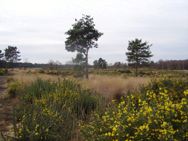
Bricksbury Hill, located in the county of Surrey, England, is a prominent hill that forms part of the beautiful North Downs range. Standing at an elevation of approximately 190 meters (623 feet), it offers breathtaking panoramic views of the surrounding countryside, making it a popular destination for nature enthusiasts and outdoor enthusiasts alike.

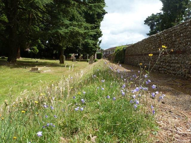
The hill is characterized by its gently sloping sides and lush green pastures, which are dotted with ancient oak trees and wildflowers, creating a picturesque and serene atmosphere. The summit of Bricksbury Hill provides a vantage point from which visitors can admire the stunning vistas of the rolling hills, meandering rivers, and charming villages that define the Surrey landscape.

Bricksbury Hill is also renowned for its rich historical significance. The area has been inhabited since ancient times, with evidence of human activity dating back to the Neolithic period. Archaeological findings have revealed Iron Age settlements on the hill, highlighting its importance as a strategic location in the past.

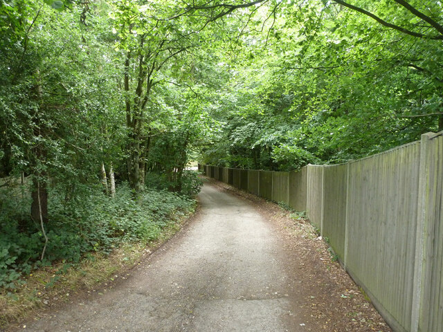
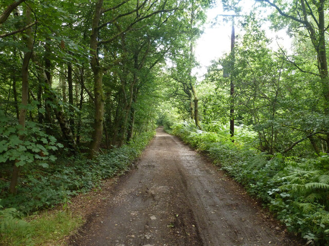
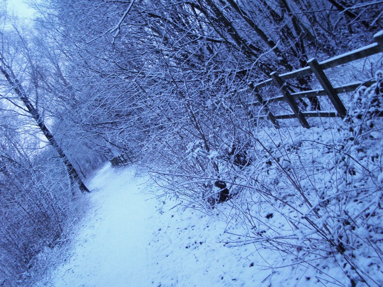
Today, Bricksbury Hill attracts hikers, walkers, and cyclists who explore its well-maintained trails, allowing them to immerse themselves in the natural beauty of the area. The hill is also home to a diverse range of wildlife, including various bird species, rabbits, and foxes, making it an ideal spot for birdwatching and wildlife observation.

With its stunning vistas, historical significance, and abundant natural beauty, Bricksbury Hill stands as a cherished landmark and testament to the captivating allure of Surrey's countryside.

If you have any feedback on the listing, please let us know in the comments section below.

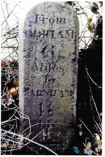
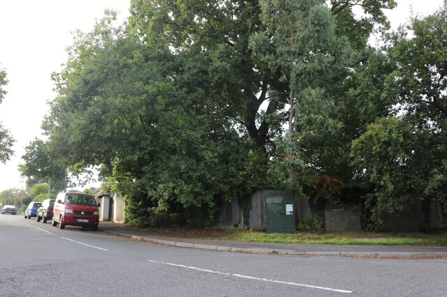
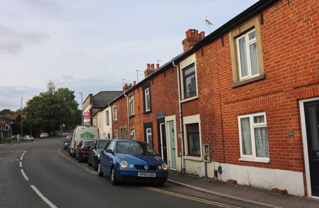
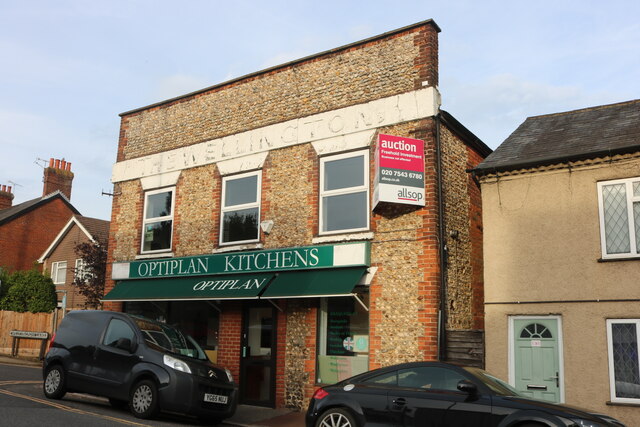
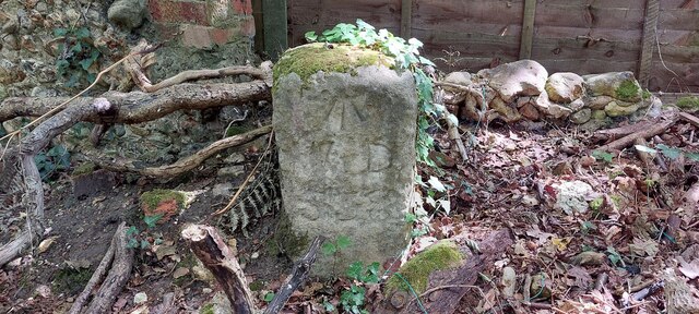
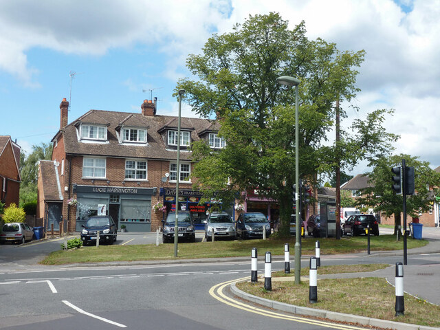
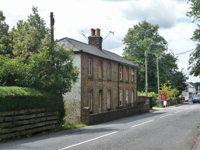
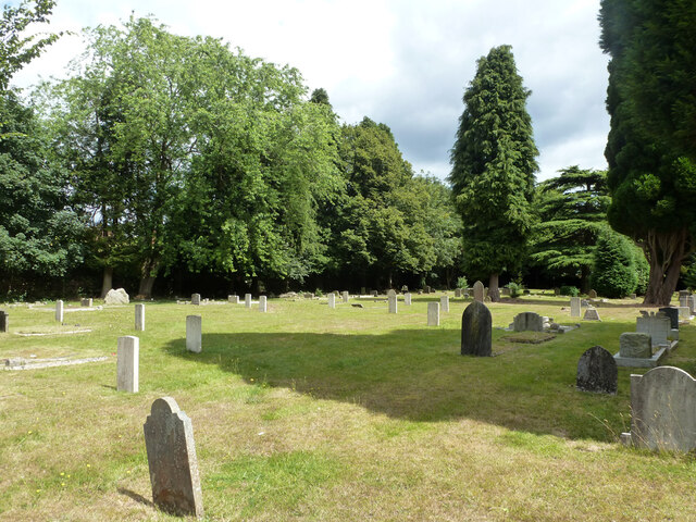
Bricksbury Hill Images

Images are sourced within 2km of 51.241504/-0.80632209 or Grid Reference SU8349. Thanks to Geograph Open Source API. All images are credited.

Old Milestone, A287, Folly Hill, Upper Hale The milestone is located 50m north of the junction with Heathyfields Road on the West side of the road in the hedge. Parish of Farnham (Waverley district). Carved stone post, Odiham stone design, erected by the Odiham & Farnham turnpike trust in the 18th century.

Inscription reads:-          FROM / ODIHAM / 6 / MILES / TO / FARNHAM / 1½ / MILES

The date of the image is not known but is probably before 2001.

Milestone Society National ID: SY_ODFA06
Old Milestone, A287, Folly Hill, Upper Hale
The milestone is located 50m north of the junction with Heathyfields Road on the West side of the road in the hedge. Parish of Farnham (Waverley district). Carved stone post, Odiham stone design, erected by the Odiham & Farnham turnpike trust in the 18th century. Inscription reads:- FROM / ODIHAM / 6 / MILES / TO / FARNHAM / 1½ / MILES The date of the image is not known but is probably before 2001. Milestone Society National ID: SY_ODFA06
South Avenue at the junction of Farnborough Road
South Avenue, Hale
South Avenue, Hale
Farnborough Road, Heath End
Optiplan Kitchens on Farnborough Road, Heath End With a nice ghost sign above it.
Optiplan Kitchens on Farnborough Road, Heath End
With a nice ghost sign above it.
Pasture, Farnham Looking down from the bridleway below Upper Old Park.
Pasture, Farnham
Looking down from the bridleway below Upper Old Park.
Armsworth Way, Farnham Viewed from Reeve Drive, part of a new development on the edge of Hale.
Armsworth Way, Farnham
Viewed from Reeve Drive, part of a new development on the edge of Hale.
Old Boundary Marker on Hungry Hill, Heath End War Department Boundary Marker on Hungry Hill, heathland behind The Crescent, Heath End. Farnham parish. Inscribed (arrow) / W D / 538. One of 546 numbered boundary markers marked on old OS maps around War Department land on the Hampshire/Surrey border.

Milestone Society National ID: SY_WDFARN538em
Old Boundary Marker on Hungry Hill, Heath End
War Department Boundary Marker on Hungry Hill, heathland behind The Crescent, Heath End. Farnham parish. Inscribed (arrow) / W D / 538. One of 546 numbered boundary markers marked on old OS maps around War Department land on the Hampshire/Surrey border. Milestone Society National ID: SY_WDFARN538em
Shops, Farnborough Road, Hale
Brooklands Road, unadopted part The road name is continuous, but a barrier ahead divides unadopted from adopted parts.
Brooklands Road, unadopted part
The road name is continuous, but a barrier ahead divides unadopted from adopted parts.
The Alma, Alma Lane, Hale Several pubs are named after the Alma, which is a river that figured prominently in the Crimean War.
The Alma, Alma Lane, Hale
Several pubs are named after the Alma, which is a river that figured prominently in the Crimean War.
Cottages on Alma Lane, Hale
In Hale Cemetery
In Hale Cemetery
In Hale Cemetery
In Hale Cemetery
In Hale Cemetery
In Hale Cemetery
Harebells, Hale Cemetery
Old Park Lane A public bridleway, also vehicle access to a few properties.
Old Park Lane
A public bridleway, also vehicle access to a few properties.
Old Park Lane A public bridleway, also vehicle access to a few properties.
Old Park Lane
A public bridleway, also vehicle access to a few properties.
Show me another place!

Bricksbury Hill is located at Grid Ref: SU8349 (Lat: 51.241504, Lng: -0.80632209)

Administrative County: Surrey

District: Waverley

Police Authority: Surrey

What 3 Words

///taken.mainly.promoted. Near Hale, Surrey

Related Wikis

Caesar's Camp, Rushmoor and Waverley

Caesar's Camp is an Iron Age hill fort straddling the border of the counties of Surrey and Hampshire in southern England. The fort straddles the borough...

Upper Hale Cemetery, Farnham

Upper Hale Cemetery (also known as Hale Cemetery) is the burial ground for the district of Hale in Farnham in Surrey. Hale grew rapidly after 1854 when...

Heath End, Surrey

Heath End is a village in the Waverley district of Surrey, England, traditionally part of the large town parish of Farnham. Heath End is smaller in area...

Blackwater Valley Path

The Blackwater Valley Path follows the River Blackwater from its source in the Rowhill Nature Reserve in Aldershot to just beyond the point where it...

Bourley and Long Valley

Bourley and Long Valley is a 823.5-hectare (2,035-acre) biological Site of Special Scientific Interest between Fleet and Aldershot in Hampshire. It is...

Royal Pavilion, Aldershot

The Royal Pavilion, also known as the Queen's Pavilion, was a royal residence located at Aldershot in Hampshire. The most unpretentious of all royal residences...

Ewshot

Ewshot is a village and civil parish in Hampshire, England. It lies in the north east of the county, close to the Surrey border. The name Ewshot comes...

Castle Bottom to Yateley and Hawley Commons

Castle Bottom to Yateley and Hawley Commons is a 922.7-hectare (2,280-acre) biological Site of Special Scientific Interest north of Fleet in Hampshire...

Nearby Amenities

Located within 500m of 51.241504,-0.80632209
Bricksbury Hill
Ele: 180
Natural: peak
Source: npe
Lat/Long: 51.2414817/-0.8085226
Bus Stop
Eton Place
Bench: no
Bin: yes
Bus: yes
Departures Board: timetable
Lit: yes
Naptan AtcoCode: 40004411392C
Naptan Bearing: SW
Naptan CommonName: Eton Place
Naptan Indicator: Just after
Naptan Landmark: Sandy Hill / Eton Place
Naptan NaptanCode: surgjgwj
Naptan PlusbusZoneRef: ALDRSHT
Naptan Street: Sandy Hill Road
Naptan Verified: no
Public Transport: platform
Shelter: yes
Source: naptan_import
Tactile Paving: no
Lat/Long: 51.2371445/-0.8047417
Bus Stop
Eton Place
Bench: yes
Bin: yes
Bus: yes
Departures Board: timetable
Lit: yes
Naptan AtcoCode: 40004411392D
Naptan Bearing: NE
Naptan CommonName: Eton Place
Naptan Indicator: Opp
Naptan Landmark: Sandy Hill / Eton Place
Naptan NaptanCode: surgjgwm
Naptan PlusbusZoneRef: ALDRSHT
Naptan Street: Sandy Hill Road
Naptan Verified: no
Public Transport: platform
Shelter: yes
Source: naptan_import
Tactile Paving: no
Lat/Long: 51.2373463/-0.8041108
Bench
Backrest: yes
Colour: black;blue;silver
Direction: 70
Inscription: PREPARE TO DOUBLE
Material: steel
Seats: 2
Lat/Long: 51.2439179/-0.8009112
Life Ring
Emergency: life_ring
Lat/Long: 51.2402/-0.8070357
Life Ring
Emergency: life_ring
Lat/Long: 51.2401339/-0.810048
Give Way
Source: Bing
Lat/Long: 51.2372824/-0.8041206
Give Way
Source: Bing
Lat/Long: 51.2371127/-0.8052178
Life Ring
Emergency: life_ring
Lat/Long: 51.2394899/-0.8090818
Historic: memorial
Inscription: X Vig Pl 24324835 Pte Colin Stacey 22/4/1956 - 21/10/1993 Utrinque Paratus Sleep Well Brother
Material: metal
Memorial: plaque
Lat/Long: 51.2439764/-0.8008346
The data included in this document is from www.openstreetmap.org. The data is made available under ODbL.

Have you been to Bricksbury Hill?

Leave your review of Bricksbury Hill below (or comments, questions and feedback).