Dunsley Dale

Valley in Yorkshire Scarborough

England

Dunsley Dale

Fields near Ellerby The footpath from Ellerby to the B1266 is not well waymarked but it is walkable exactly as it says on the map.
Fields near Ellerby Credit: T Eyre

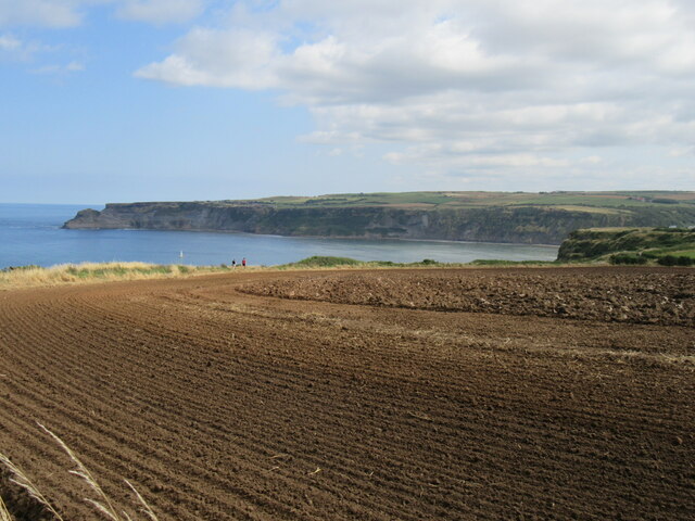
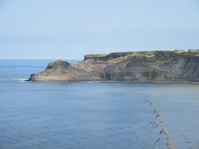
Dunsley Dale is a picturesque valley located in the county of Yorkshire, England. Nestled in the heart of the North York Moors National Park, this idyllic countryside retreat offers stunning natural beauty and a serene atmosphere.

Surrounded by rolling hills and dense forests, Dunsley Dale is a haven for outdoor enthusiasts and nature lovers. The valley is adorned with vibrant wildflowers during the spring and summer months, creating a kaleidoscope of colors. The meandering river that runs through the valley adds to its charm, providing a soothing soundtrack to accompany leisurely walks or hikes along the numerous trails.

The valley is dotted with traditional stone cottages and farmhouses, giving visitors a glimpse into the region's rich history and heritage. The local community is known for its warm hospitality, welcoming visitors with open arms and offering a taste of traditional Yorkshire culture.

In addition to its natural beauty, Dunsley Dale is also home to several attractions and activities. The nearby Dunsley Hall, a historic mansion turned hotel, offers luxurious accommodation and fine dining experiences. The valley is also a popular destination for birdwatching, with a variety of species calling it home throughout the year.

Whether it's exploring the scenic landscapes, immersing oneself in the local history, or simply enjoying the tranquility of the countryside, Dunsley Dale is a hidden gem in Yorkshire that captivates the hearts of all who visit.

If you have any feedback on the listing, please let us know in the comments section below.
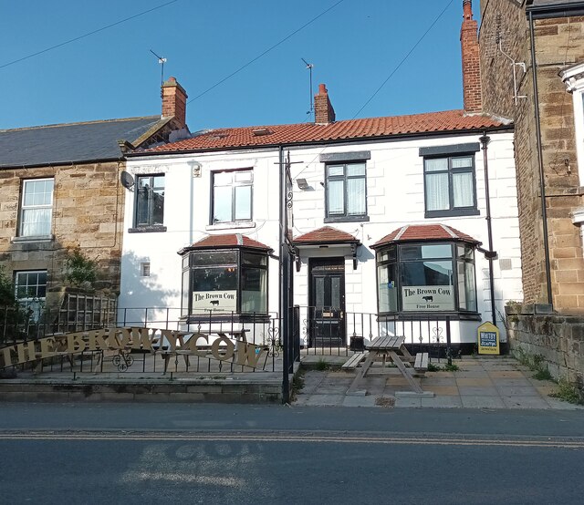
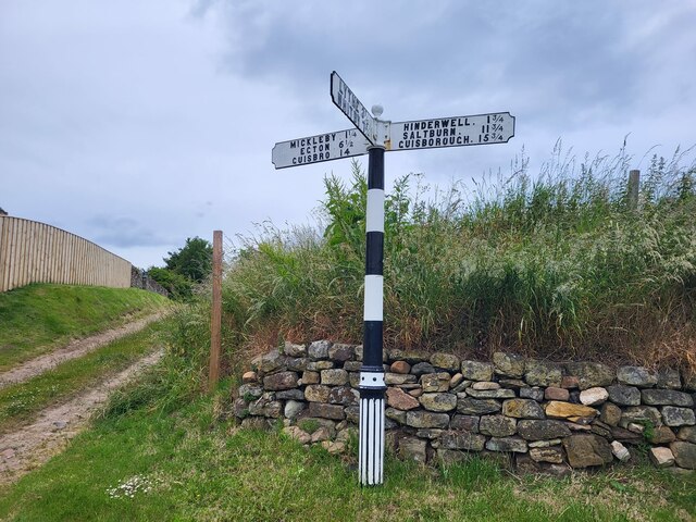
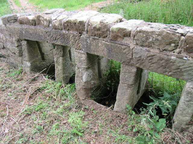
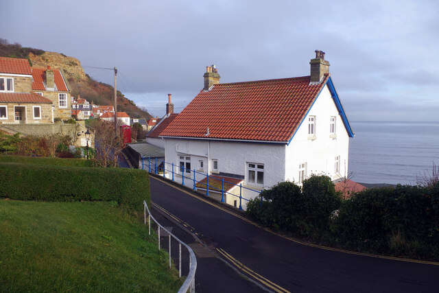
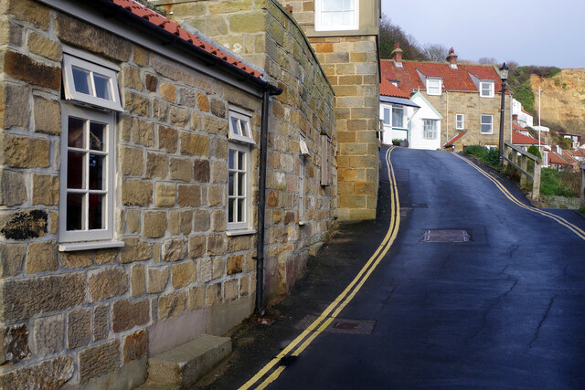
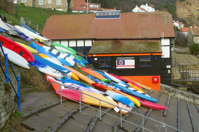
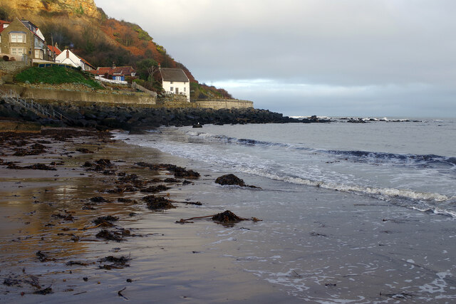
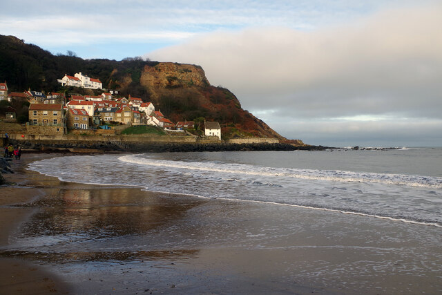
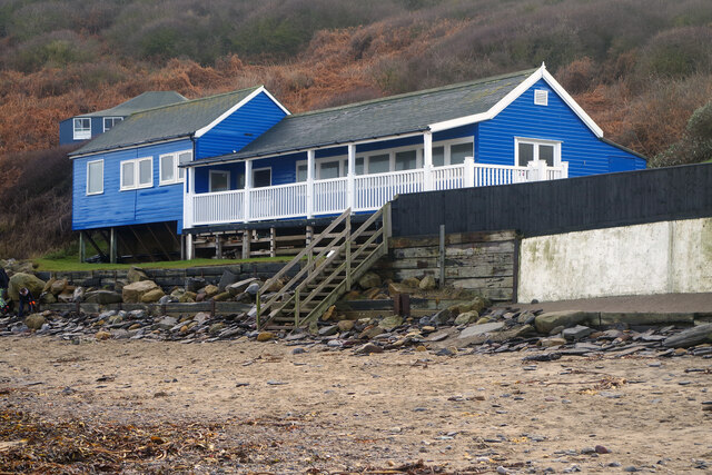
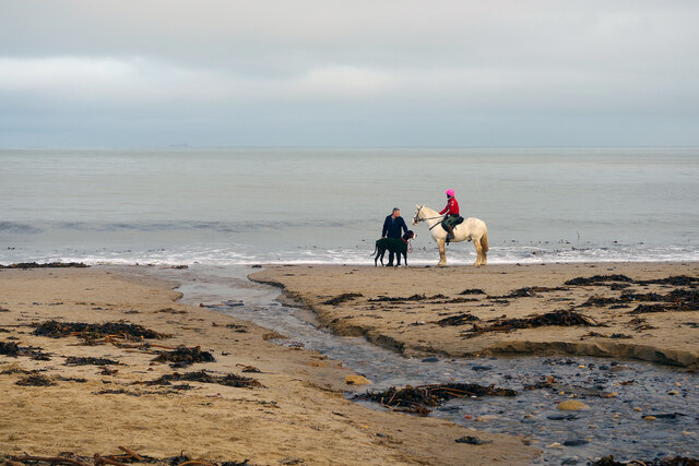
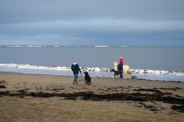
Dunsley Dale Images

Images are sourced within 2km of 54.527964/-0.7524078 or Grid Reference NZ8015. Thanks to Geograph Open Source API. All images are credited.

Fields near Ellerby The footpath from Ellerby to the B1266 is not well waymarked but it is walkable exactly as it says on the map.
Fields near Ellerby
The footpath from Ellerby to the B1266 is not well waymarked but it is walkable exactly as it says on the map.
Hinderwell-The Brown Cow Public House on High Street.
Hinderwell-The Brown Cow
Public House on High Street.
Direction Sign – Signpost on Ryeland Lane in Ellerby Located on the west side of the T junction of Ryeland Lane and Ellerby Bank in Ellerby parish. 3 arms and ball finial. See also <a title="https://www.geograph.org.uk/photo/3434355" href="https://www.geograph.org.uk/photo/3434355">Link</a>.

Milestone Society National ID: YN_NZ7914
Direction Sign – Signpost on Ryeland Lane in Ellerby
Located on the west side of the T junction of Ryeland Lane and Ellerby Bank in Ellerby parish. 3 arms and ball finial. See also Link. Milestone Society National ID: YN_NZ7914
Ellerby Bank Top Looking NE.
Ellerby Bank Top
Looking NE.
Water troughs in Ellerby Unusual water troughs in Ellerby.
Water troughs in Ellerby
Unusual water troughs in Ellerby.
Lingrow Cliffs Looking east on Lingrow Cliffs.
Lingrow Cliffs
Looking east on Lingrow Cliffs.
Looking towards Kettleness From the Cleveland Way near Runswick Bay.
Looking towards Kettleness
From the Cleveland Way near Runswick Bay.
Runswick Bay Sailing Club Next to Calais Beck.
Runswick Bay Sailing Club
Next to Calais Beck.
Runswick Bay Public Comveniences The Car Park in Bank Top Lane.
Runswick Bay Public Comveniences
The Car Park in Bank Top Lane.
Lane up from the beach at Runswick Bay The lane becomes steep as it heads for the upper part of the village. The entrance to a public car park (pay and display in summer, free in winter) can be seen on the left; this is the only facility for visitors but there are also car parks for residents and members of the sailing club. Parking is not allowed on the road, enforced with double yellow lines.
Lane up from the beach at Runswick Bay
The lane becomes steep as it heads for the upper part of the village. The entrance to a public car park (pay and display in summer, free in winter) can be seen on the left; this is the only facility for visitors but there are also car parks for residents and members of the sailing club. Parking is not allowed on the road, enforced with double yellow lines.
Runswick Bay A former fishing village, now very much a holiday destination (many of the properties here are holiday lets), the village at Runswick Bay huddles around the north end of the beach. It was in fact relocated to this site in 1682 after the original village was destroyed in a landslip. This is one of the best-loved locations on the Yorkshire coast.
Runswick Bay
A former fishing village, now very much a holiday destination (many of the properties here are holiday lets), the village at Runswick Bay huddles around the north end of the beach. It was in fact relocated to this site in 1682 after the original village was destroyed in a landslip. This is one of the best-loved locations on the Yorkshire coast.
Runswick Bay This narrow lane passes through the lower village above the beach. The Royal Hotel, actually the village pub, is just ahead on the left (but out of shot).
Runswick Bay
This narrow lane passes through the lower village above the beach. The Royal Hotel, actually the village pub, is just ahead on the left (but out of shot).
Runswick Bay: Kayaks and Rescue Boat Station A number of colourful kayaks are stored here just above the beach and behind them is the Runswick Bay Rescue Boat Station. This inshore facility operates independently of the RNLI and was established in 1982 after the lifeboat was moved to Staithes.
Runswick Bay: Kayaks and Rescue Boat Station
A number of colourful kayaks are stored here just above the beach and behind them is the Runswick Bay Rescue Boat Station. This inshore facility operates independently of the RNLI and was established in 1982 after the lifeboat was moved to Staithes.
Runswick Bay Showing the north end of the beach where the village tumbles down to the sea.
Runswick Bay
Showing the north end of the beach where the village tumbles down to the sea.
Runswick Bay Beach The tide is out making it easy to walk the full length of the beach. Runswick Bay village can be seen in the background.
Runswick Bay Beach
The tide is out making it easy to walk the full length of the beach. Runswick Bay village can be seen in the background.
Runswick Bay Beach and Sailing Club Runswick Bay Sailing Club was formed in 1953, becoming the Beach and Sailing Club in 1998. This is the clubhouse, at the back of the beach about half a mile from the village.
Runswick Bay Beach and Sailing Club
Runswick Bay Sailing Club was formed in 1953, becoming the Beach and Sailing Club in 1998. This is the clubhouse, at the back of the beach about half a mile from the village.
Runswick Bay Beach The water in the foreground comes from the Calais Beck which empties into Runswick Bay here. To the right of that a small horse and a very large dog enjoy themselves on the sand.
Runswick Bay Beach
The water in the foreground comes from the Calais Beck which empties into Runswick Bay here. To the right of that a small horse and a very large dog enjoy themselves on the sand.
Runswick Bay Beach Horses, dogs and people are out and about just after Christmas on this fine beach.
Runswick Bay Beach
Horses, dogs and people are out and about just after Christmas on this fine beach.
Show me another place!

Dunsley Dale is located at Grid Ref: NZ8015 (Lat: 54.527964, Lng: -0.7524078)

Division: North Riding

Administrative County: North Yorkshire

District: Scarborough

Police Authority: North Yorkshire

What 3 Words

///breached.navy.respects. Near Loftus, North Yorkshire

Nearby Locations

Dunsley Dale Nettle Dale

Related Wikis

Runswick Bay Lifeboat Station

Runswick Bay Lifeboat Station was a Royal National Lifeboat Institution (RNLI) lifeboat station located in Runswick Bay in North Yorkshire, England. The...

Hob Holes

The Hob Holes are caves in the cliffs of Runswick Bay, Scarborough, England which resulted from mining for jet – fossilised wood which is valuable as a...

Runswick Bay

Runswick Bay is a bay in the Scarborough Borough of North Yorkshire, England. It is also the name of a village located on the western edge of the bay...

Ellerby, North Yorkshire

Ellerby is a village and civil parish in the Scarborough district of North Yorkshire, England, located within the North York Moors National Park. According...

Hinderwell railway station

Hinderwell railway station was a railway station on the Whitby Redcar and Middlesbrough Union Railway. It was opened on 3 December 1883, and served the...

Newton Mulgrave

Newton Mulgrave is a village and civil parish in the Scarborough district of North Yorkshire, England. The population of the civil parish was estimated...

Hinderwell

Hinderwell is a village and civil parish in the Scarborough district of North Yorkshire, England which lies within the North York Moors National Park,...

Kettleness

Kettleness, is a hamlet in the Scarborough District of North Yorkshire, England. The settlement only consists of half-a-dozen houses, but up until the...

Nearby Amenities

Located within 500m of 54.527964,-0.7524078
Source: PGS
Lat/Long: 54.5293892/-0.7461453
Source: PGS
Lat/Long: 54.5297372/-0.7466332
Source: PGS
Lat/Long: 54.530258/-0.7473155
Source: PGS
Lat/Long: 54.531937/-0.7491233
Ford: yes
Lat/Long: 54.5293551/-0.7466399
Ford: yes
Lat/Long: 54.5284633/-0.7448616
The data included in this document is from www.openstreetmap.org. The data is made available under ODbL.

Have you been to Dunsley Dale?

Leave your review of Dunsley Dale below (or comments, questions and feedback).