Whitcombe Bottom
Valley in Sussex Chichester
England
Whitcombe Bottom
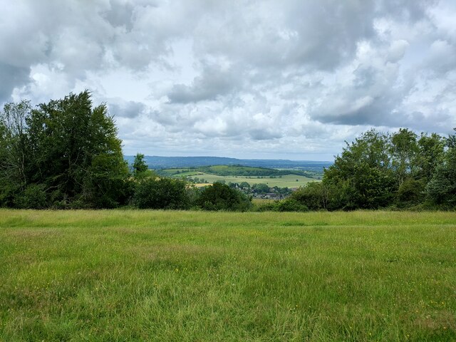
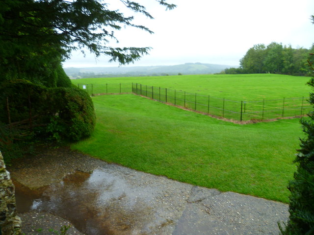
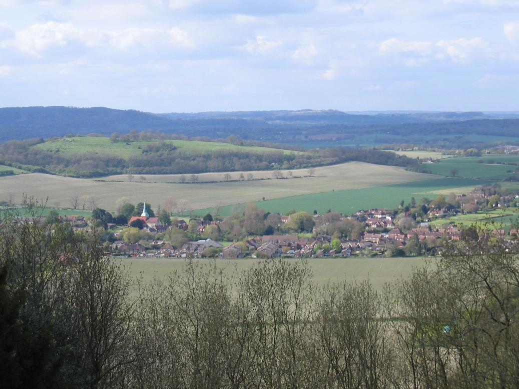
Whitcombe Bottom is a picturesque valley located in Sussex, England. Nestled in the South Downs National Park, this idyllic spot is known for its natural beauty and tranquil surroundings.
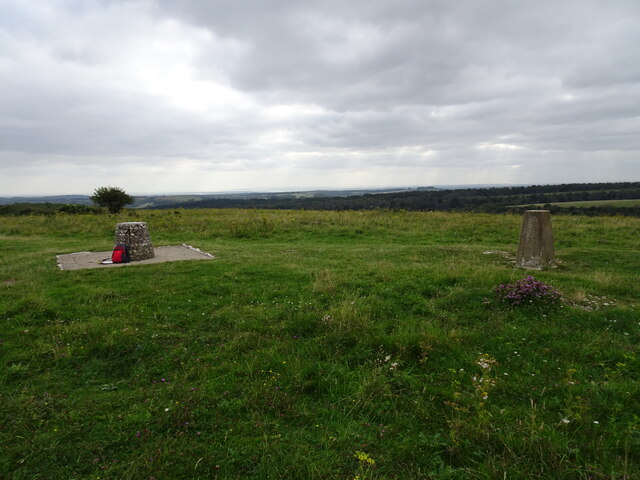
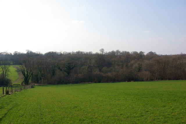
The valley is characterized by its rolling hills, lush meadows, and meandering streams. It is home to a diverse range of flora and fauna, making it a haven for nature lovers and wildlife enthusiasts. Visitors can spot a variety of bird species, including skylarks and buzzards, as well as wildflowers such as bluebells and primroses during the spring season.
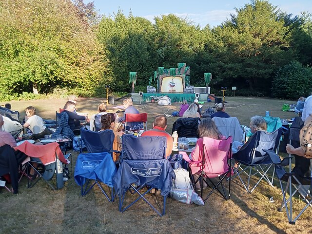
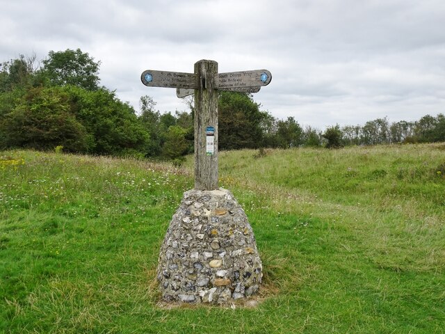
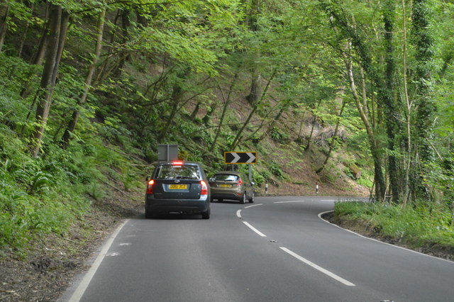
The area is a popular destination for outdoor activities, with numerous walking trails and cycling routes crisscrossing the valley. One of the most notable trails is the South Downs Way, which passes through Whitcombe Bottom, offering breathtaking views of the surrounding countryside.
Historically, Whitcombe Bottom has been an agricultural area, with farming playing a significant role in the local economy. Traditional farming methods are still practiced today, and visitors can often see livestock grazing in the fields.
Despite its rural charm, Whitcombe Bottom is conveniently located close to several towns and villages, including Lewes and Brighton, which offer a range of amenities and attractions. This makes it an ideal destination for those seeking a peaceful retreat while still being within reach of urban conveniences.
In summary, Whitcombe Bottom is a picturesque valley in Sussex, offering stunning natural beauty, a rich variety of wildlife, and a range of outdoor activities. It is a hidden gem that provides a peaceful escape from the hustle and bustle of daily life.
If you have any feedback on the listing, please let us know in the comments section below.
Whitcombe Bottom Images
Images are sourced within 2km of 50.953138/-0.86547504 or Grid Reference SU7917. Thanks to Geograph Open Source API. All images are credited.
Whitcombe Bottom is located at Grid Ref: SU7917 (Lat: 50.953138, Lng: -0.86547504)
Administrative County: West Sussex
District: Chichester
Police Authority: Sussex
What 3 Words
///song.stubbed.bedspread. Near South Harting, West Sussex
Nearby Locations
Related Wikis

Harting Downs
Harting Downs is a 336.3-hectare (831-acre) biological Site of Special Scientific Interest west of Midhurst in West Sussex. It is a Nature Conservation...
Beacon Hill, West Sussex
Beacon Hill, also known as Harting Beacon, is a hillfort on the South Downs, in the county of West Sussex in southern England. The hillfort is located...
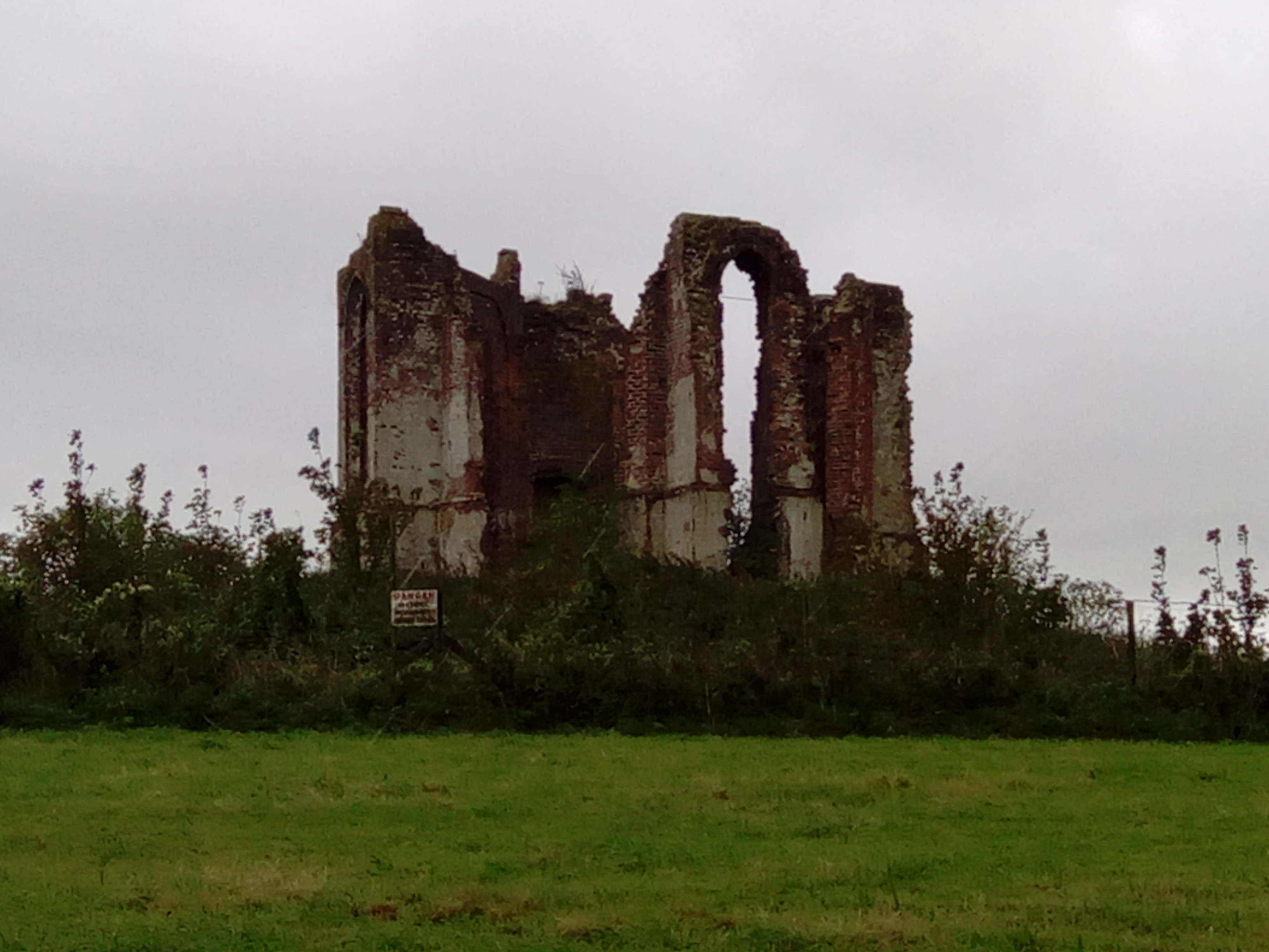
Vandalian Tower
The Vandalian Tower at Harting, West Sussex, England, is an 18th-century folly, built to commemorate the British colony of Vandalia, a short-lived colony...
Pads Wood
Pads Wood is a 22.2-hectare (55-acre) biological Site of Special Scientific Interest west of Midhurst in West Sussex.This ancient coppiced wood is mainly...

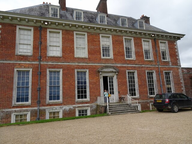
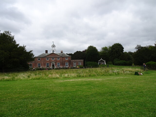
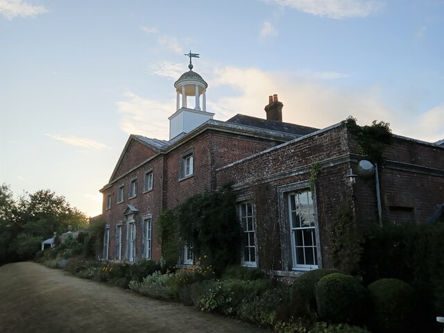
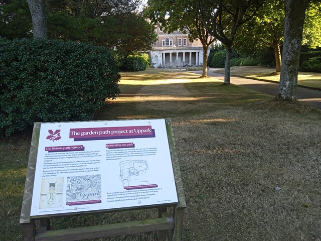
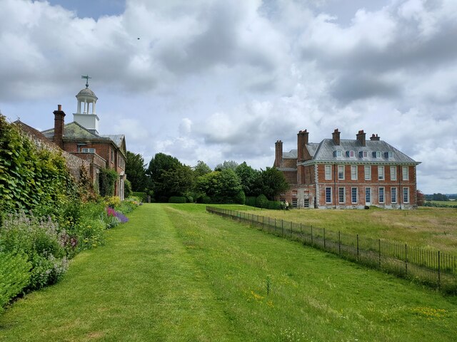
Uppark
Uppark is a 17th-century house in South Harting, West Sussex, England. It is a Grade I listed building and a National Trust property. == History == The...

North Marden
North Marden is a tiny village and former civil parish, now in the parish of Marden, in the Chichester district of West Sussex, England. It is 7.5 miles...
Harting
Harting is a civil parish in the Chichester District of West Sussex, England. It is situated on the northern flank of the South Downs, around 3.5 miles...

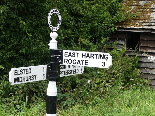
East Harting
East Harting is a hamlet in the Chichester district of West Sussex, England. It lies on the South Harting to Elsted road 4 miles (6.4 km) southeast of...
Nearby Amenities
Located within 500m of 50.953138,-0.86547504Have you been to Whitcombe Bottom?
Leave your review of Whitcombe Bottom below (or comments, questions and feedback).