Spitfire Bottoms
Valley in Nottinghamshire Bassetlaw
England
Spitfire Bottoms

Spitfire Bottoms is a small valley located in Nottinghamshire, England. Nestled amidst the picturesque countryside, this tranquil spot offers visitors a chance to escape the hustle and bustle of city life and immerse themselves in nature.
The valley is characterized by its lush green meadows, gently rolling hills, and a meandering stream that runs through its heart. The landscape is dotted with a variety of plant and animal species, making it a haven for nature enthusiasts and wildlife lovers. Visitors can expect to spot a range of bird species, including kingfishers, herons, and ducks, as they explore the area.
Spitfire Bottoms is also known for its historical significance. During World War II, a nearby airfield was used as a training base for Spitfire pilots. The valley itself was named after the iconic British fighter aircraft, paying homage to the area's wartime past. Today, remnants of the airfield can still be seen, adding an extra layer of interest for history buffs.
The valley offers a variety of recreational activities for visitors to enjoy. Walking and hiking trails crisscross the landscape, providing stunning views of the surrounding countryside. Picnic spots along the stream offer a peaceful setting for a leisurely lunch or a moment of relaxation. Fishing is also a popular pastime, with the stream teeming with various fish species.
Overall, Spitfire Bottoms, Nottinghamshire is a hidden gem that combines natural beauty, history, and recreational opportunities, making it an ideal destination for those seeking a tranquil and enriching experience in the heart of the English countryside.
If you have any feedback on the listing, please let us know in the comments section below.
Spitfire Bottoms Images
Images are sourced within 2km of 53.26899/-1.0061762 or Grid Reference SK6675. Thanks to Geograph Open Source API. All images are credited.


Spitfire Bottoms is located at Grid Ref: SK6675 (Lat: 53.26899, Lng: -1.0061762)
Administrative County: Nottinghamshire
District: Bassetlaw
Police Authority: Nottinghamshire
What 3 Words
///reckon.grounded.squirts. Near Hardwick Village, Nottinghamshire
Nearby Locations
Related Wikis

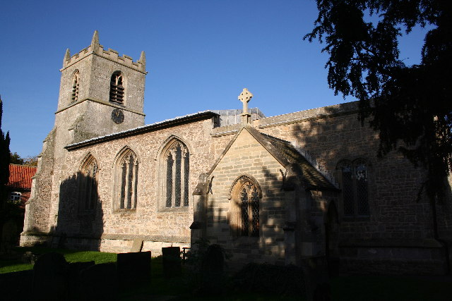
Our Lady and St Peter's Church, Bothamsall
Our Lady and St Peter's Church, Bothamsall is a Grade II listed parish church in the Church of England in Bothamsall. The church is part of the Lound Hall...

St Giles' Church, Elkesley
St Giles' Church is a Grade I listed parish church in the Church of England.A church in Elkesleigh or Elchersleigh is mentioned in the Domesday Book. It...
Elkesley
Elkesley is a village in Nottinghamshire, England. According to the 2001 census it had a population of 805, increasing to 822 at the 2011 Census. It is...

Hardwick Village
Hardwick Village is a rural settlement located in the Bassetlaw administrative area of Nottinghamshire. It is within Clumber Park, part of a greater area...

Haughton, Nottinghamshire
Haughton is a hamlet in the English county of Nottinghamshire. Haughton lies on the south bank of the River Maun about one mile south west from Bothamsall...
Haughton Hall, Nottinghamshire
Haughton Hall was an English country house near Haughton, Nottinghamshire. == History == Houghton Hall was built by William Holles and his son William...

Bevercotes Colliery
Bevercotes Colliery was the first fully automated mine. It went into production in July 1965. Located in Bevercotes to the north of Ollerton, the colliery...
Bothamsall
Bothamsall is a village and civil parish in the Bassetlaw district of Nottinghamshire, England. According to the United Kingdom Census 2001 it had a population...
Nearby Amenities
Located within 500m of 53.26899,-1.0061762Have you been to Spitfire Bottoms?
Leave your review of Spitfire Bottoms below (or comments, questions and feedback).