Bartholomew Green
Settlement in Essex Uttlesford
England
Bartholomew Green
Bartholomew Green is a small village located in the county of Essex, England. Situated approximately 30 miles northeast of London, it lies within the Epping Forest district. The village is named after Bartholomew Green, an influential figure who lived during the 17th century.
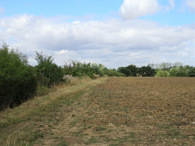
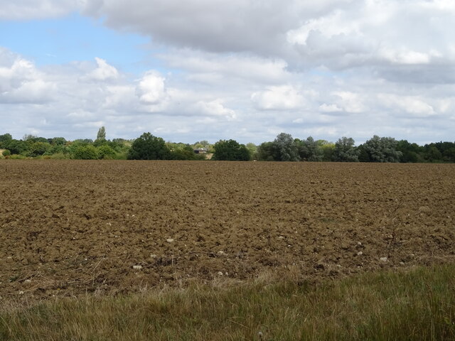
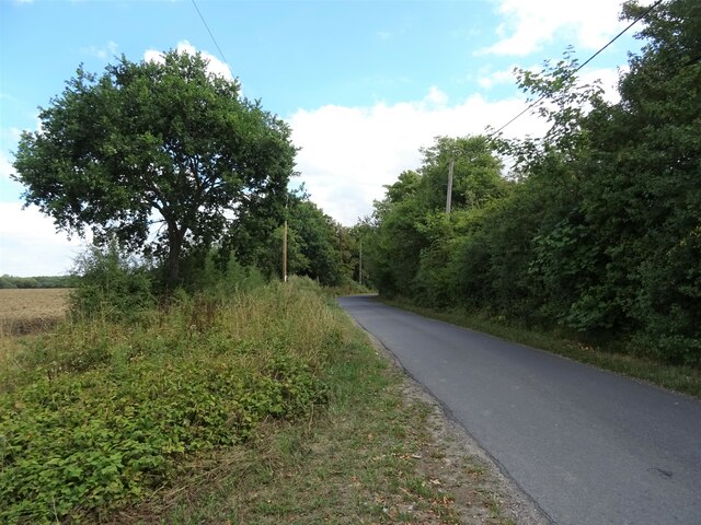
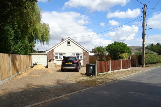
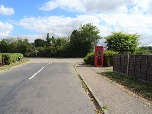
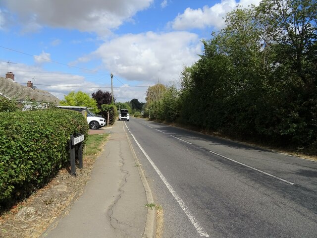
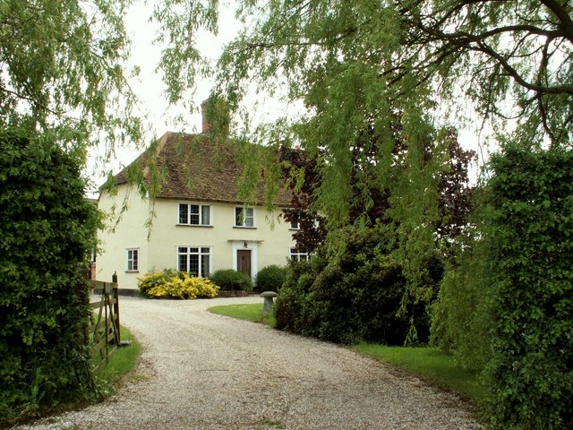
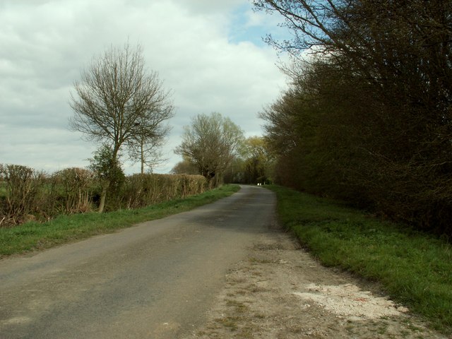
With a population of around 500 residents, Bartholomew Green maintains a close-knit community atmosphere. The village is characterized by its picturesque countryside surroundings, featuring rolling hills, lush green fields, and charming country lanes. It offers a tranquil and idyllic setting, making it an attractive place for those seeking a peaceful lifestyle away from the bustling city.
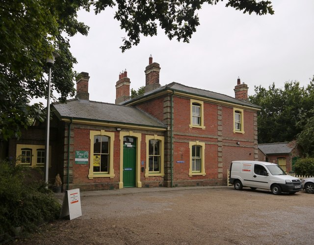
The village is home to several historic buildings, including St. Bartholomew's Church, which dates back to the 12th century. This stunning Norman church is a prominent landmark and serves as a focal point for the community. Additionally, there are a handful of traditional cottages and farmhouses that add to the village's quaint charm.
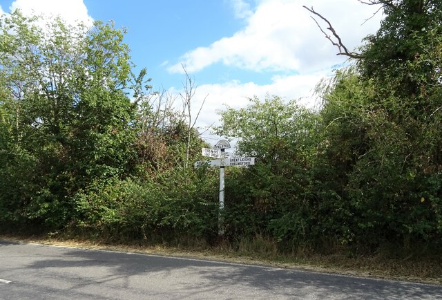
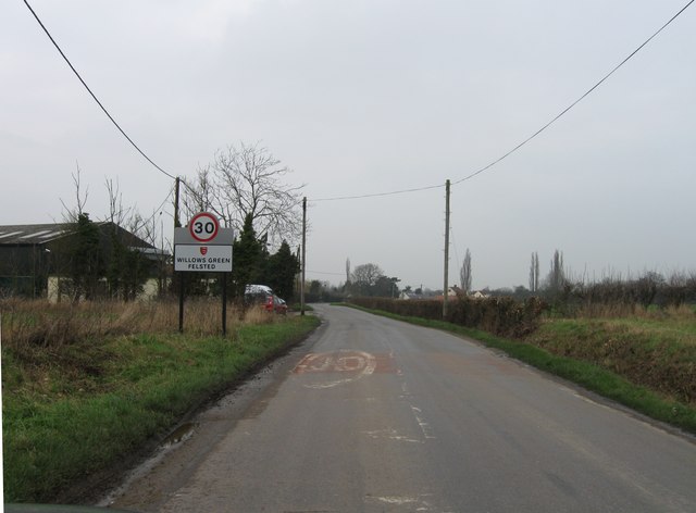
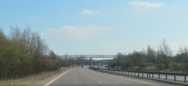
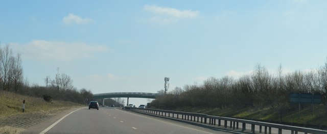
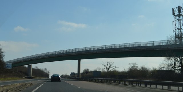
Although small in size, Bartholomew Green benefits from its proximity to larger towns and cities. The nearby town of Epping offers a range of amenities such as shops, restaurants, and schools, ensuring residents have easy access to essential services. The village is well-connected by road, with the M11 motorway providing convenient links to London and other major cities.
Overall, Bartholomew Green provides a peaceful and scenic retreat within the beautiful Essex countryside, making it an appealing destination for both residents and visitors seeking a quintessentially English village experience.
If you have any feedback on the listing, please let us know in the comments section below.
Bartholomew Green Images
Images are sourced within 2km of 51.860979/0.49618843 or Grid Reference TL7120. Thanks to Geograph Open Source API. All images are credited.
Bartholomew Green is located at Grid Ref: TL7120 (Lat: 51.860979, Lng: 0.49618843)
Administrative County: Essex
District: Uttlesford
Police Authority: Essex
What 3 Words
///quickly.reassured.nylon. Near Great Leighs, Essex
Nearby Locations
Related Wikis

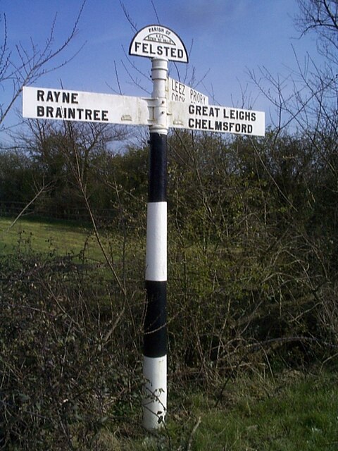
Bartholomew Green, Essex
Bartholomew Green is a hamlet in the Felsted civil parish and the Uttlesford district of Essex, England. The nearest town is Braintree. == References... ==

Manshead CE Academy
Manshead CE Academy is a mixed Church of England secondary academy and sixth form located on the outskirts of both Caddington and Dunstable in Bedfordshire...
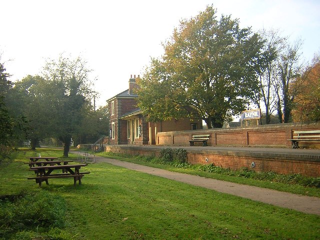
Rayne railway station
Rayne railway station was located in Rayne, Essex. The station was 15 miles 54 chains (25.23 km) from Bishop's Stortford on the Bishop's Stortford to Braintree...

Cuckoo Wood
Cuckoo Wood is a 2.5 hectare Local Nature Reserve in Braintree in Essex. It is owned by Braintree District Council and managed by Essex County Council...

Rayne, Essex
Rayne is a village of about 2,300 residents in the Braintree district of Essex in the East of England. It lies on the Roman road called Stane Street, about...

White Court
White Court is a residential housing estate in the village of Great Notley, south west of Braintree, Essex, England, built on the site of the old Oaklands...
Chelmsford City Racecourse
Chelmsford City racecourse, originally known as Great Leighs Racecourse, is a thoroughbred horse racing venue located in Great Leighs near Braintree, Essex...

Blake End
Blake End is a hamlet on the B1256 road in the civil parish of The Salings, in the Braintree district of Essex, England. The hamlet is situated between...
Nearby Amenities
Located within 500m of 51.860979,0.49618843Have you been to Bartholomew Green?
Leave your review of Bartholomew Green below (or comments, questions and feedback).