Small Dale
Valley in Nottinghamshire Mansfield
England
Small Dale

Small Dale is a picturesque valley located in the county of Nottinghamshire, England. Situated in the heart of the Nottinghamshire countryside, it is a charming rural area known for its natural beauty and tranquil atmosphere.
The valley is characterized by rolling hills, lush green fields, and meandering streams that create a serene and idyllic setting. The landscape is dotted with small clusters of traditional stone cottages, adding to the area's rustic charm. The surrounding woodlands provide ample opportunities for nature walks and exploration, with many species of flora and fauna native to the region.
Small Dale is renowned for its agricultural heritage, with farming being a prominent industry in the area. The fertile soil and favorable climate make it an ideal location for cultivating crops, and fields of wheat, barley, and rapeseed can be seen throughout the valley. The local farmers take great pride in their produce, with many offering farm-to-table experiences and fresh produce markets.
Despite its rural setting, Small Dale is conveniently located near several nearby towns and villages, making it an attractive destination for those seeking a peaceful retreat while still having access to modern amenities. The valley is also home to a close-knit community that organizes various local events and activities, fostering a strong sense of community spirit.
In conclusion, Small Dale is a charming valley in Nottinghamshire, known for its natural beauty, agricultural heritage, and close-knit community. It offers visitors a tranquil escape from the hustle and bustle of city life, with its rolling hills, picturesque cottages, and opportunities for outdoor exploration.
If you have any feedback on the listing, please let us know in the comments section below.
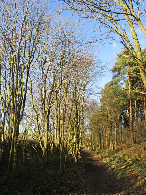
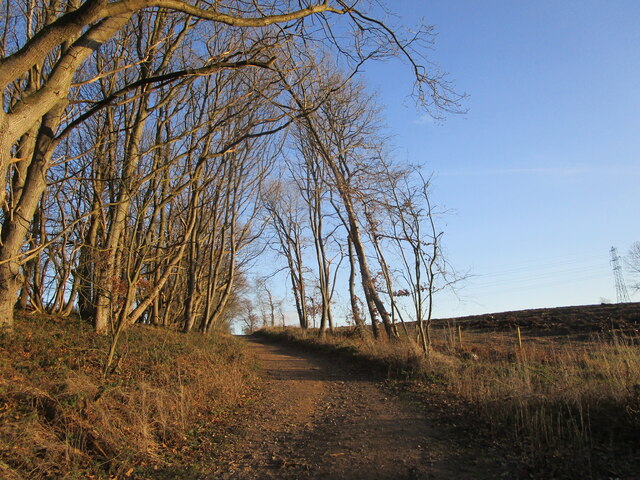
Small Dale Images
Images are sourced within 2km of 53.172543/-1.1526562 or Grid Reference SK5664. Thanks to Geograph Open Source API. All images are credited.


Small Dale is located at Grid Ref: SK5664 (Lat: 53.172543, Lng: -1.1526562)
Administrative County: Nottinghamshire
District: Mansfield
Police Authority: Nottinghamshire
What 3 Words
///spending.quaking.stereos. Near Mansfield Woodhouse, Nottinghamshire
Nearby Locations
Related Wikis

The Garibaldi School
The Garibaldi School (formerly Garibaldi College) is a co-educational secondary school and sixth form built in the 1960s. It is situated near to the edge...
Clipstone F.C.
Clipstone Football Club is a football club based in Clipstone, Nottinghamshire, England. They are currently members of the United Counties League Division...

St Alban's Church, Forest Town
St. Albans Church, Forest Town is a parish church in the Church of England in Forest Town, Nottinghamshire. == History == St. Albans Church was built by...

Forest Town, Nottinghamshire
Forest Town is a former mining village on the outskirts of Mansfield, Nottinghamshire, England. After continuous development it is no longer a separate...
Nearby Amenities
Located within 500m of 53.172543,-1.1526562Have you been to Small Dale?
Leave your review of Small Dale below (or comments, questions and feedback).